Arboga - Säterboleden
Vaellusreitit
- Kunta: Västmanlands län
- 6729.13 km päässä sinusta
Polun yksityiskohdat
- Pituus 12.0 km
- Aika 4 h 30 min
Toiminnot
Kuvaus
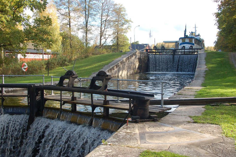
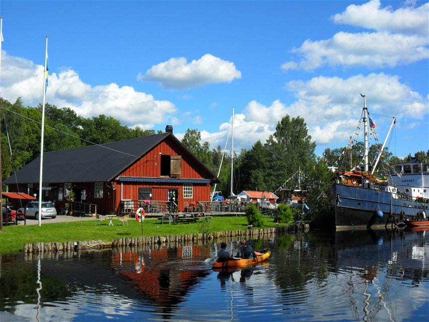
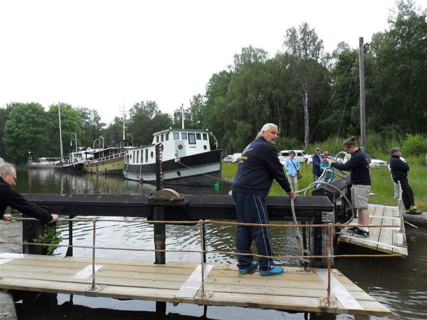
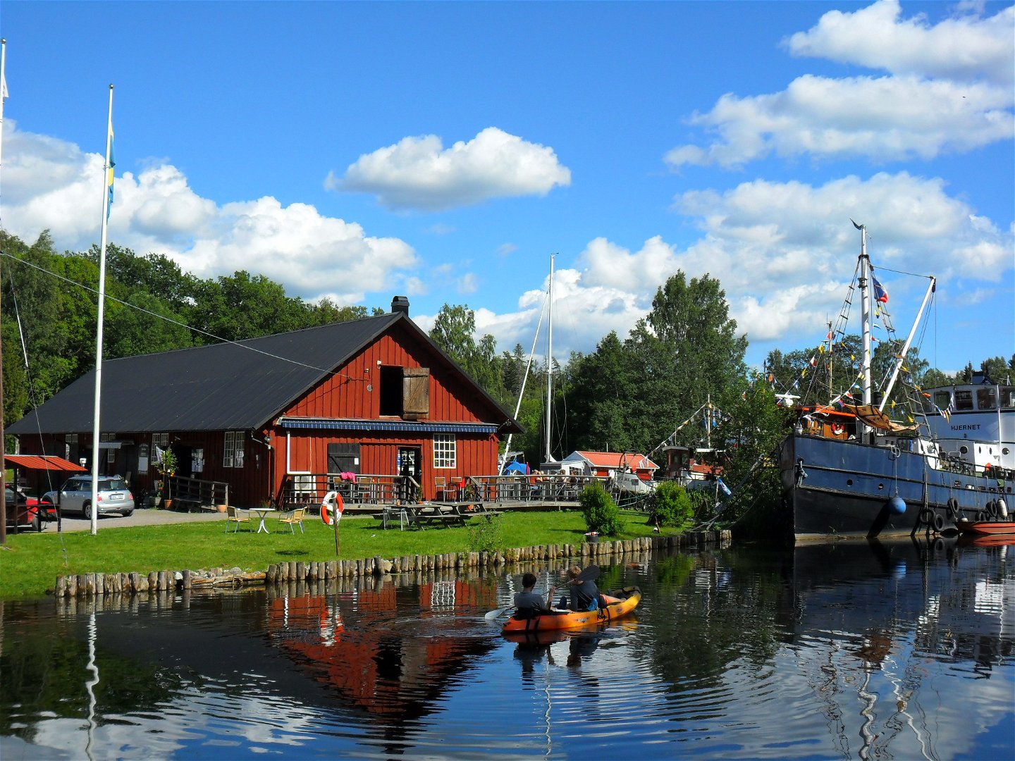
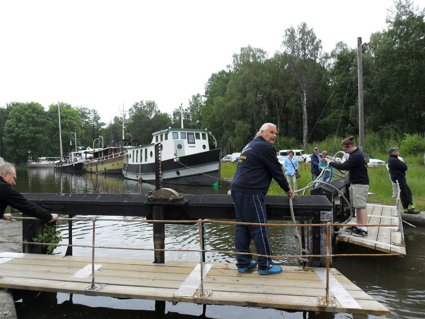
The Säterboleden trail is a beautiful hiking route outside the city of Arboga that begins and ends at Hjälmare dock, a popular summer destination. At Hjälmare dock, you'll find toilet and shower facilities, spots for motorhomes and caravans, and a café open in the summer. At the Hjälmare Kanalcafé (Hjälmare Canal Café), you can enjoy Belgian waffles, shrimp sandwiches, fikabröd (Swedish pastries), and locally-produced ice cream. From Hjälmare dock, you can choose whether to walk the trail in its entirety (12 km), the eastern loop towards Finnhäll hill (4.4 km), or the western loop towards Säterbo church (7.7 km). If you'd prefer a shorter trek, there is also the Lilla Kanalslingan (Little Canal) trail (1.8 km).
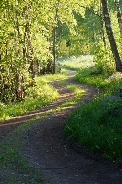
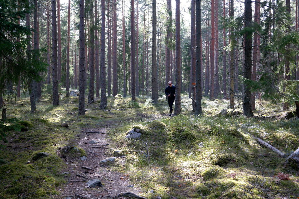
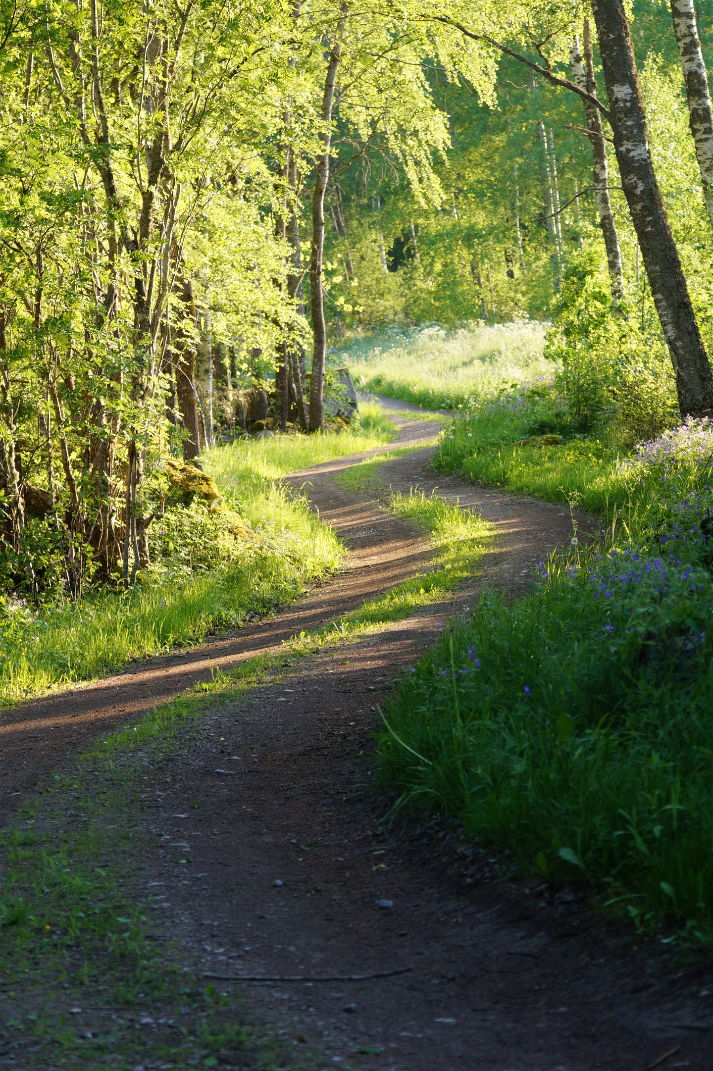
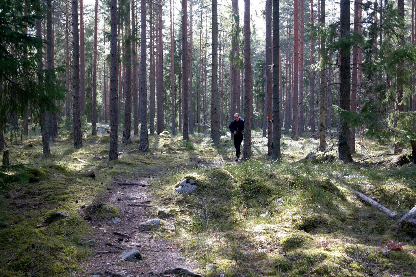
The Säterboleden trail follows partly along gravel roads and partly along natural forest paths. The trail's western loop towards Säterbo church features predominantly flat ground, while the eastern loop towards Finnhäll hill includes some hilly forest terrain. The time required for the entire trail is 4-5 hours, the western trail is 2-3 hours, and the eastern trail is about 1.5 hours. Along the trail, there are a number of sites with signs detailing their significance and history.
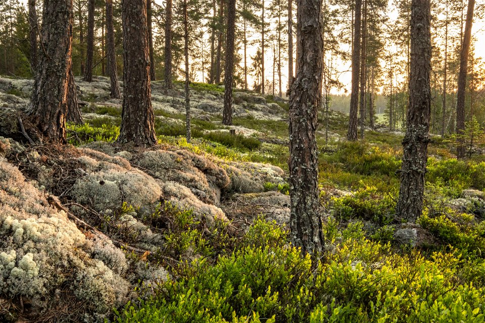
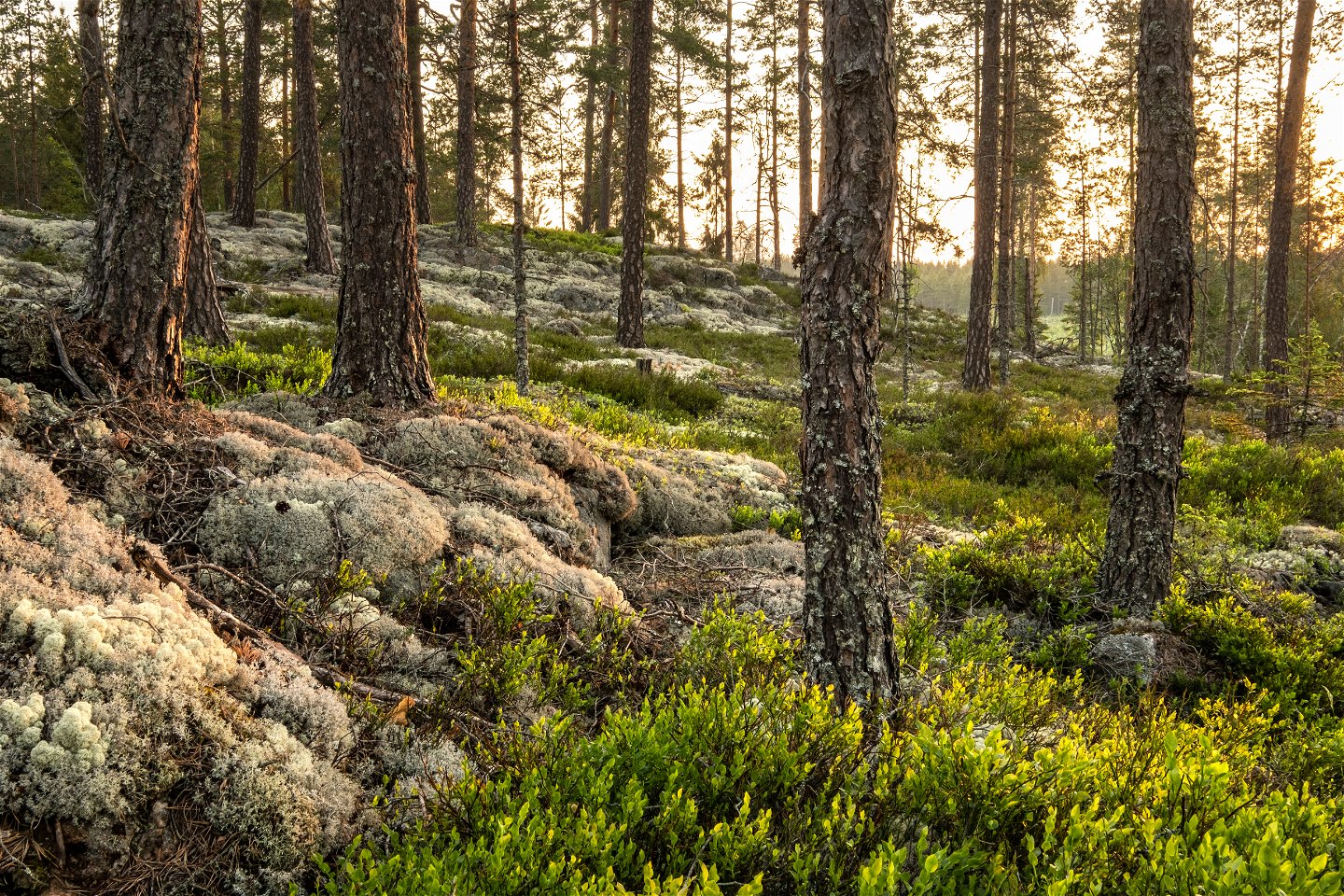
The Säterboleden trail's eastern loop (4.4 km) takes you from Hjälmare dock through a beautiful forest area and to Finnhäll hill, which is Arboga municipality's highest point. It stands 92 m above sea level and is well worth a visit. There are interesting natural rock formations from the decline of a prehistoric sea here, such as terrace-shaped deposits, gravel ridges and boulder fields.
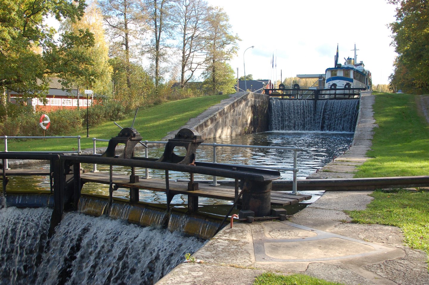
The Säterboleden trail's western loop (7.7 km) takes you from Hjälmare dock and into landscapes filled with beautiful nature and cultural history. If you walk the loop counterclockwise, you will first walk along historic Hjälmare canal that was dug in the 17th century. The trail then passes the southern end of Arboga's airfield further through the forest towards the 12th century Säterbo church. From the church, the trail goes back into the forest along a path monks used in the Middle Ages to walk between the monasteries in Arboga and Julita. Hence the name: Munkastigen (the monk’s walk). After that, the trail alternates between gravel roads and paths through a delightful forest area in the Vinbergstorp area. The trail passes a swimming area on Kvarnsjön lake that features a café open in summer. Café Kvarnfallet. Café Kvarnfallet offers everything from homemade pastries, sandwiches, soup, ice cream, and even a stylish selection of decor. From Kvarnfallet, the trail follows the Hjälmare canal back to the locks at Hjälmare dock.
Toimintaa ja tilat
-
Vaellusreitit
-
Trailrunning
Saavutettavuus
-
Nära parkering
-
Nära toalett
Pinta
The trail follows partly prepared gravel roads and partly root-filled forest paths. The loop towards Finnhäll goes in partly hilly forest terrain
Pysäköinti
Parking space is available at Säterbo church, Kvarnsjön and at Hjälmare dock
Reittiohjeet
Start at Hjälmare dock.
Ota yhteyttä
Osoite
Arboga turistbyrå Tel: 0589-87151 Epost: turistinfo@arboga.se
Sähköpostiosoite
Ulf Johansson
Huomaa, että osa näistä teksteistä on käännetty automaattisesti.
Kysymykset & vastaukset (Q&A)
Esitä kysymys muille Naturkartan-käyttäjille.

