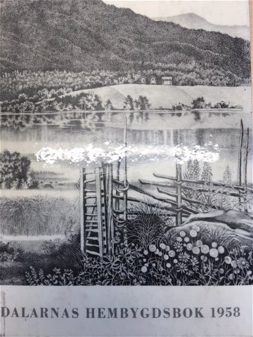
Korskällan, gränsmärke eller pilgrimskors?
I Dalarnas hembygdsbok från 1958 kan man läsa hur Helge Lindberg, fil.lic. och antikvarie vid…
Pelgrimspad
Stroll through the streets of Älvdalen and walk along old mountain pasture trails in the forest. From the village of Klitten, you have great views over the Österdal River. If you begin your walk in Älvdalen, you'll face a steady climb to Göransbodarna.
Älvdalen's church was built in the 16th century, and outside there is a storage building from 1285. A few kilometres away is the fortified structure Rots Skans, which today serves as a local heritage museum with preserved old houses, a café, and a shop. Here you can learn about life in Älvdalen in earlier times.
North of Klitten, the Romboleden runs far from the nearest houses or settlements. Bring a map, compass, extra food, and overnight equipment.
The stage offers a nice walk through Älvdalen's business street, then towards the old road towards the village of Klitten. Then the St Olav Rombo Way follows the old path to the cabins. The trail is well marked and equipped with shelters with privy every few kilometers.
Romboleden (Rombo Way) is a pilgrimage route that people began using in the 11th century. The Romboleden is Sweden’s longest pilgrimage route at 900 kilometres long. It starts in Köping in Västmanland and finishes in Trondheim on the Norwegian Atlantic coast. If you walk the entire trail, you will experience a beautiful and varied landscape. You will walk on old chalet paths, over mountains with magnificent vistas and along narrow country gravel roads. You will find easy one-day walks with cafés along the way, and long treks that take several days. The route often passes through small villages.
Would you like to walk with a Pilgrim’s Passport and collect stamps from each stage? The medieval Pilgrim’s Passport allowed a pilgrim to walk in the whole of Europe without being stopped by rules or boundaries. These days it is just a nice memento. The Pilgrim’s Passport can be collected at several stage starting points and from the web page of Rombo Way.
St Olav Rombo Way runs mainly through actively cultivated forest and agricultural land. Thanks to the generosity of the landowners and the cooperation with non-profit organizations, you have the opportunity to hike through landscapes that would otherwise be inaccessible.
As a hiker, it is important to remember that you are walking on someone else's land. Show consideration by sticking to the trail, avoiding to disturb animals, crops and ongoing work. Leave nature as you found it - or even better.
Leave nothing but footprints along the trail.
Toilet and drinking water at Älvdalen's church.
About 1.5 kilometers south of Göransbodarna is Ockelbokojan, a rest house with fireplace and dass.
Gravel roads and forestry paths.
Hilly terrain with steeper sections.
Parking at Älvdalen's church.
Public transport Dalatrafik
The nearest bus station for the stage start is Älvdalen Älvdalsskolan, 1 minute walk to the church.
There is no public transport to Göransbodarna. There is a road network with minor roads so you can park a car to get home that way.
St Olav Rombo Way runs mainly through actively cultivated forest and agricultural land. Thanks to the generosity of the landowners and the cooperation with non-profit organizations, you have the opportunity to hike through landscapes that would otherwise be inaccessible.
As a hiker, it is important to remember that you are walking on someone else's land. Show consideration by sticking to the trail, avoiding to disturb animals, crops and ongoing work. Leave nature as you found it - or even better.
Leave nothing but footprints along the trail.
Whenever you visit Swedish nature you have a Right to public access. Read more about it here.
As a hiker you are sometimes walking in protected nature with specific rules and regulations. You are responsible for making sure you are following the rules. You can read more about it at the Swedish Environmental Protection Agency and the County Administrative Board.
As a hiker, you are responsible for finding out about any local regulations, paying attention to traffic and showing consideration for others who share the trail with you.
Remember to only start camp fires in established barbecue areas and ensure that there is no fire ban in your area.
Remember that rational agriculture or forestry may occur along the trail.
Houd er rekening mee dat sommige teksten automatisch zijn vertaald.
Stel een vraag aan andere Naturkartan gebruikers.