Oxberg - Evertsberg, Romboleden Etapp 18
Pelgrimspad
- Regio: Dalarnas län
- 6541.49 km van u vandaan
Pad details
- Lengte 13.0 km
- Tijd 3 uur 15 min
- Moeilijkheidsgraad Groen - eenvoudig
Acties
Momenteel
During week 32 and 33 there are several competitions in the aura of Vasaloppet. There are a lot of people on the trail this weeks, we recommend to choose some other weeks to hike St Olav Rombo Way at this stage.
Omschrijving
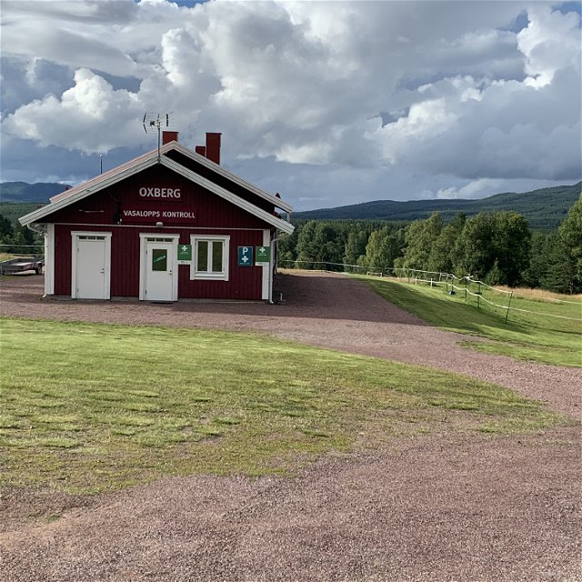
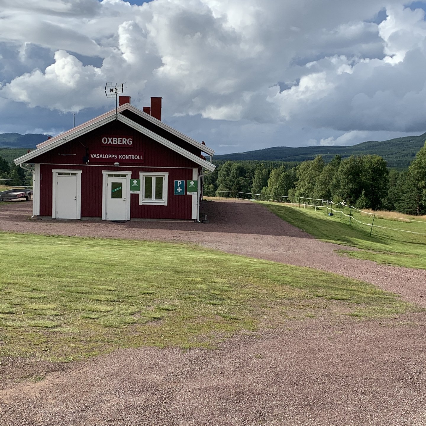
Between the two classic Vasaloppet checkpoints, Oxberg and Evertsberg, you can enjoy an even walking trail through the forest. If you start from Oxberg, the trail ascends steadily, while starting from the other direction provides a steady descent – with a final climb up to Oxberg.
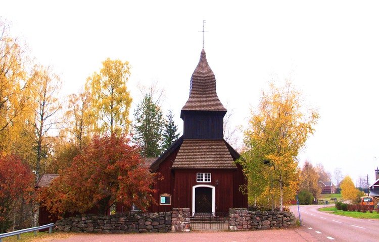
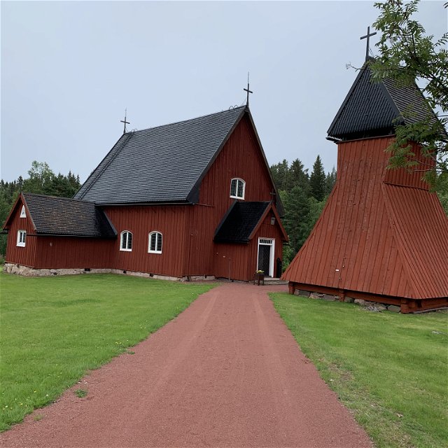
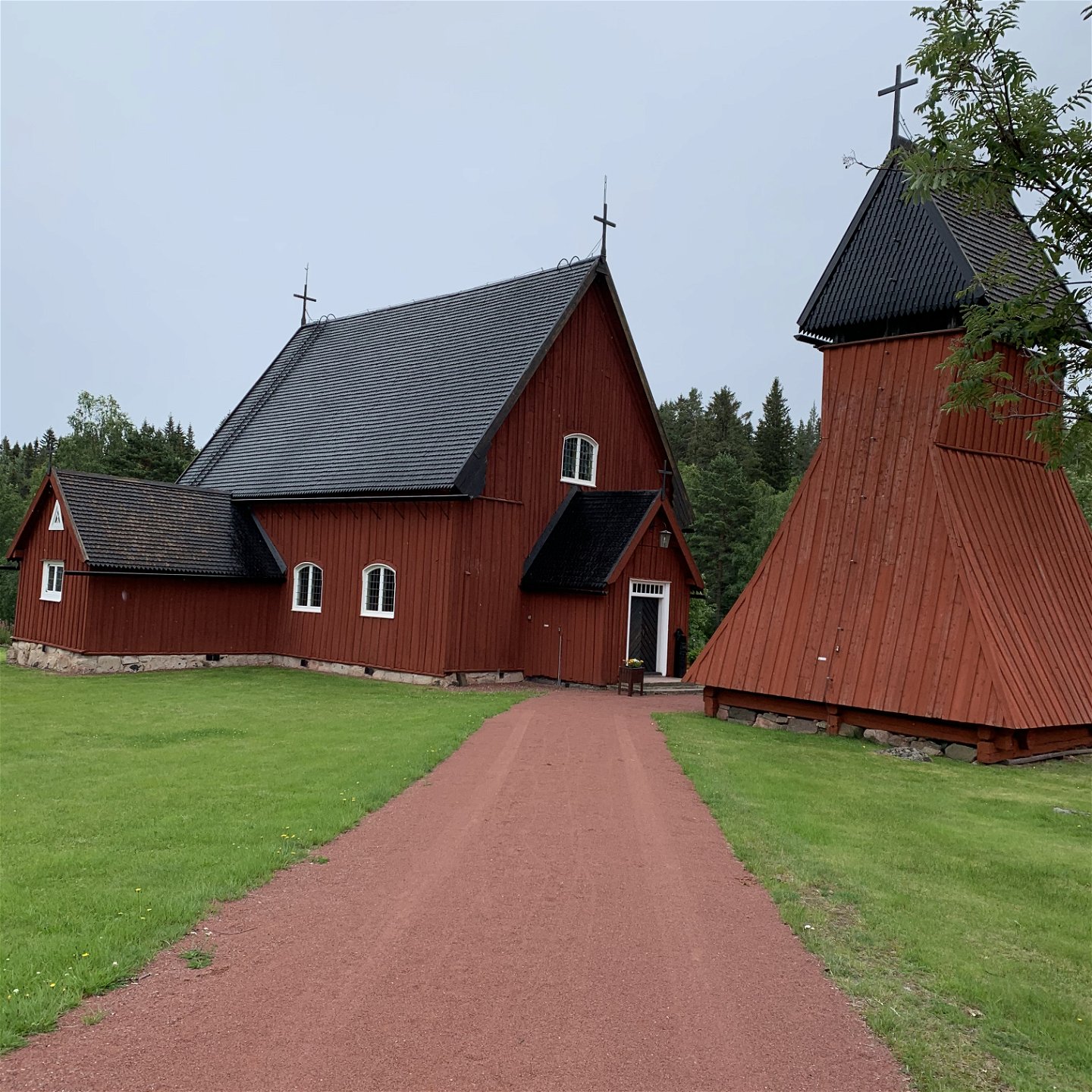
Both locations feature old chapels. Oxberg's chapel dates back to 1720, while Evertsberg's has parts from the 16th century. Evertsberg's chapel is situated high up, offering views over the wooded ridges.
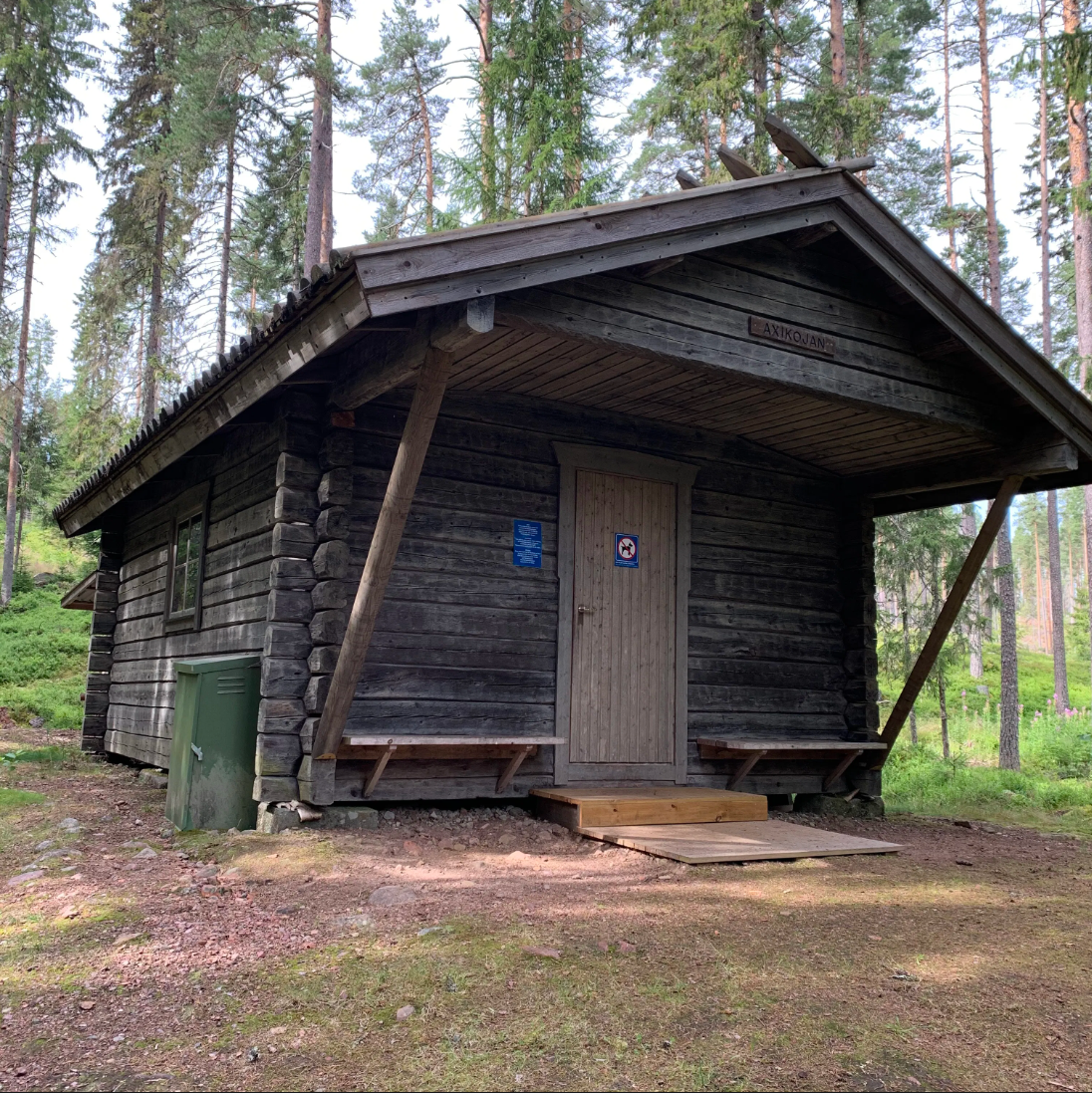
During this stage of the Romboleden, you follow the orange trail markings of the Vasaloppet trail. In the middle of the route, there is an overnight cabin maintained by the Vasaloppet Foundation. Visit vasaloppet.se for the latest information.
Read more about the stage
In Evertsberg there is a chapel from with an altar cabinet dated 1490, a spoil of war from Lubeck. There is also an unmanned grocery store open 24 hours a day.
Evertsberg is known as a medieval place of pilgrimage and communion.
The hike can be done without a tent as there are rest cabins and other accommodations to sleep in along the way.
The Romboleden follows the Vasaloppsleden and its orange markings. Pilgrim markings are available at trail entrances and when you leave the Vasaloppsleden.
Vasaloppsleden trail for hikers runs on paths that only hikers can access. It is clearly marked with a hiking symbol in orange. Stick to your symbol and you'll be sure to arrive without a problem.
Walk in the footsteps of the pilgrims
Romboleden (Rombo Way) is a pilgrimage route that people began using in the 11th century. The Romboleden is Sweden’s longest pilgrimage route at 900 kilometres long. It starts in Köping in Västmanland and finishes in Trondheim on the Norwegian Atlantic coast. If you walk the entire trail, you will experience a beautiful and varied landscape. You will walk on old chalet paths, over mountains with magnificent vistas and along narrow country gravel roads. You will find easy one-day walks with cafés along the way, and long treks that take several days. The route often passes through small villages.
Would you like to walk with a Pilgrim’s Passport and collect stamps from each stage? The medieval Pilgrim’s Passport allowed a pilgrim to walk in the whole of Europe without being stopped by rules or boundaries. These days it is just a nice memento. The Pilgrim’s Passport can be collected at several stage starting points and from the web page of Rombo Way.
Activiteiten en faciliteiten
-
Hiking
-
Pelgrimspad
Feiten
Toilet and drinking water at the chapels.
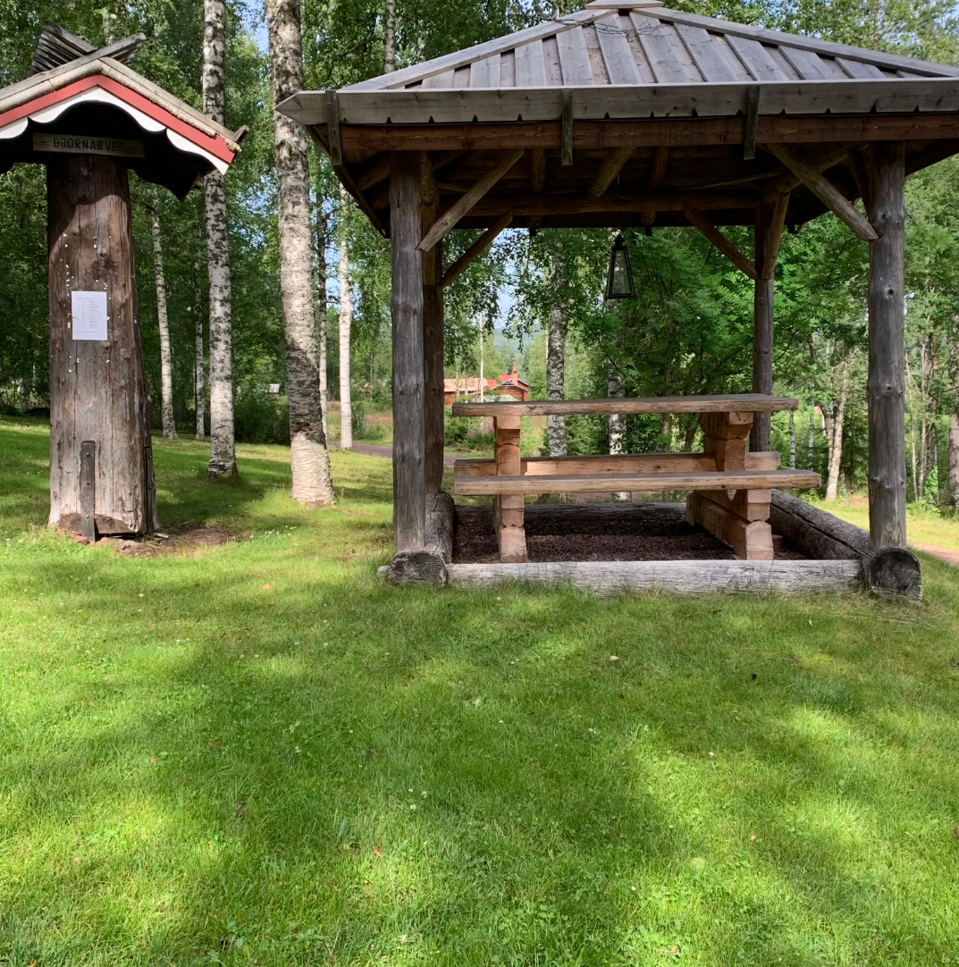
Rest cabin where you can stay overnight at Björnarvet.
Oppervlakte
Gravel.
Heuvels
Uphill from Oxberg to Evertsberg.
Parkeren
Parking at the chapels of Oxberg and Evertsberg.
Communicatie
Public transport Dalatrafik.
Routebeschrijving
The nearest bus station for the start of the stage is the Oxberg chapel, 1 minute walk to the chapel.
The nearest bus station for the end of the stage is the Evertsberg chapel, 2 minute's walk from the chapel.
Regelingen
As a hiker, you are responsible for finding out about any local regulations, paying attention to traffic and showing consideration for others who share the trail with you.
Whenever you visit Swedish nature you have a Right to public access. Read more about it here.
As a hiker you are sometimes walking in protected nature with specific rules and regulations. You are responsible for making sure you are following the rules. You can read more about it at the Swedish Environmental Protection Agency and the County Administrative Board.
Remember to only start camp fires in established barbecue areas and ensure that there is no fire ban in your area.
Remember that you are hiking on someone else's land and that rational agriculture or forestry may occur along the trail.
Downloads
Houd er rekening mee dat sommige teksten automatisch zijn vertaald.
Vragen en antwoorden
Stel een vraag aan andere Naturkartan gebruikers.

