Ramundberget–Skarvdörrspasset (norska gränsen), Romboleden Etapp 31
Pelgrimspad
- Regio: Jämtlands län
- 7048.75 km van u vandaan
Pad details
- Lengte 52.1 km
- Tijd 63 uur
- Moeilijkheidsgraad Rood - veeleisend
Acties
Momenteel
This stage requires mountain experience and is recommended for hiking in July, August and mid September.
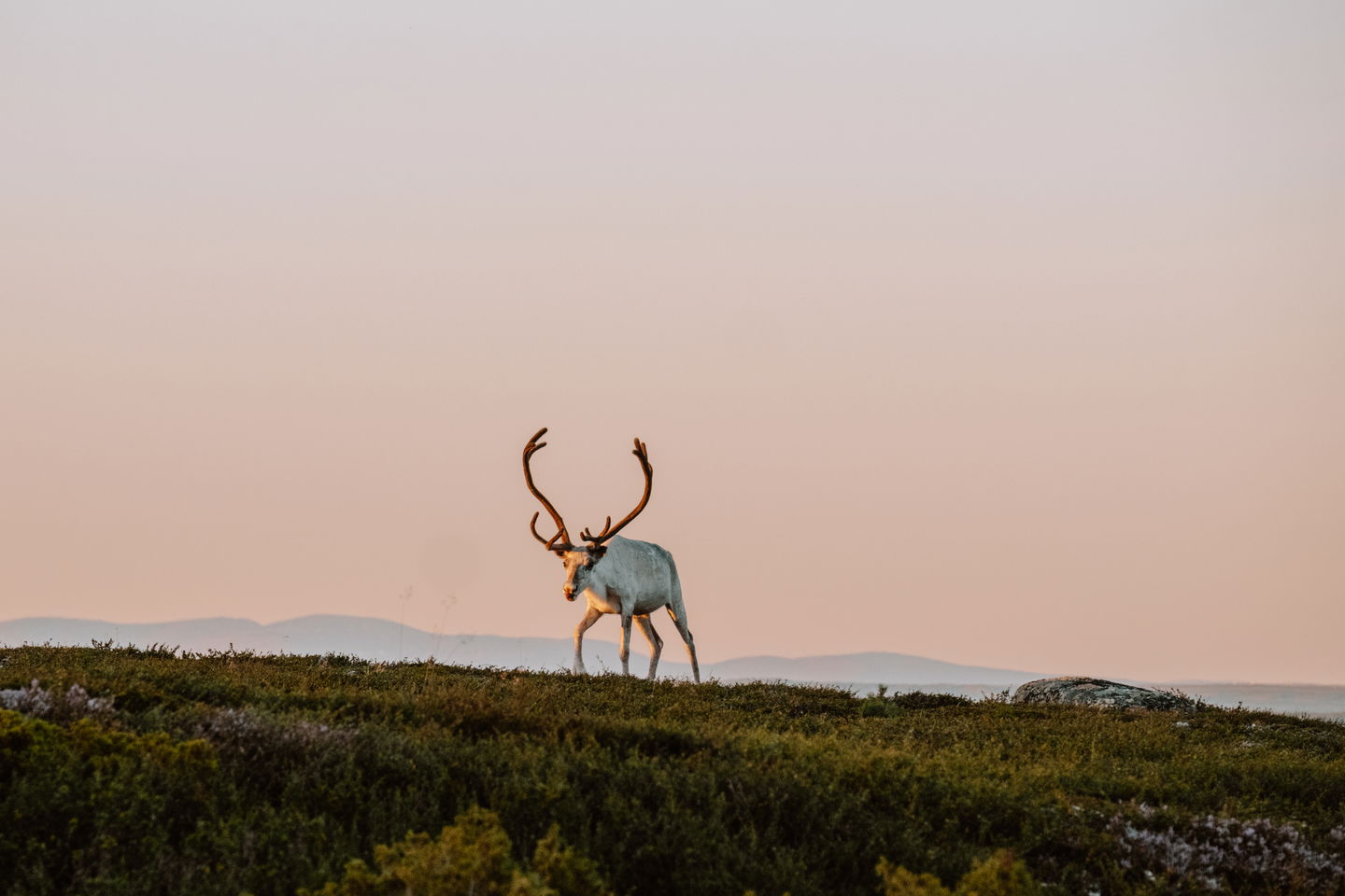
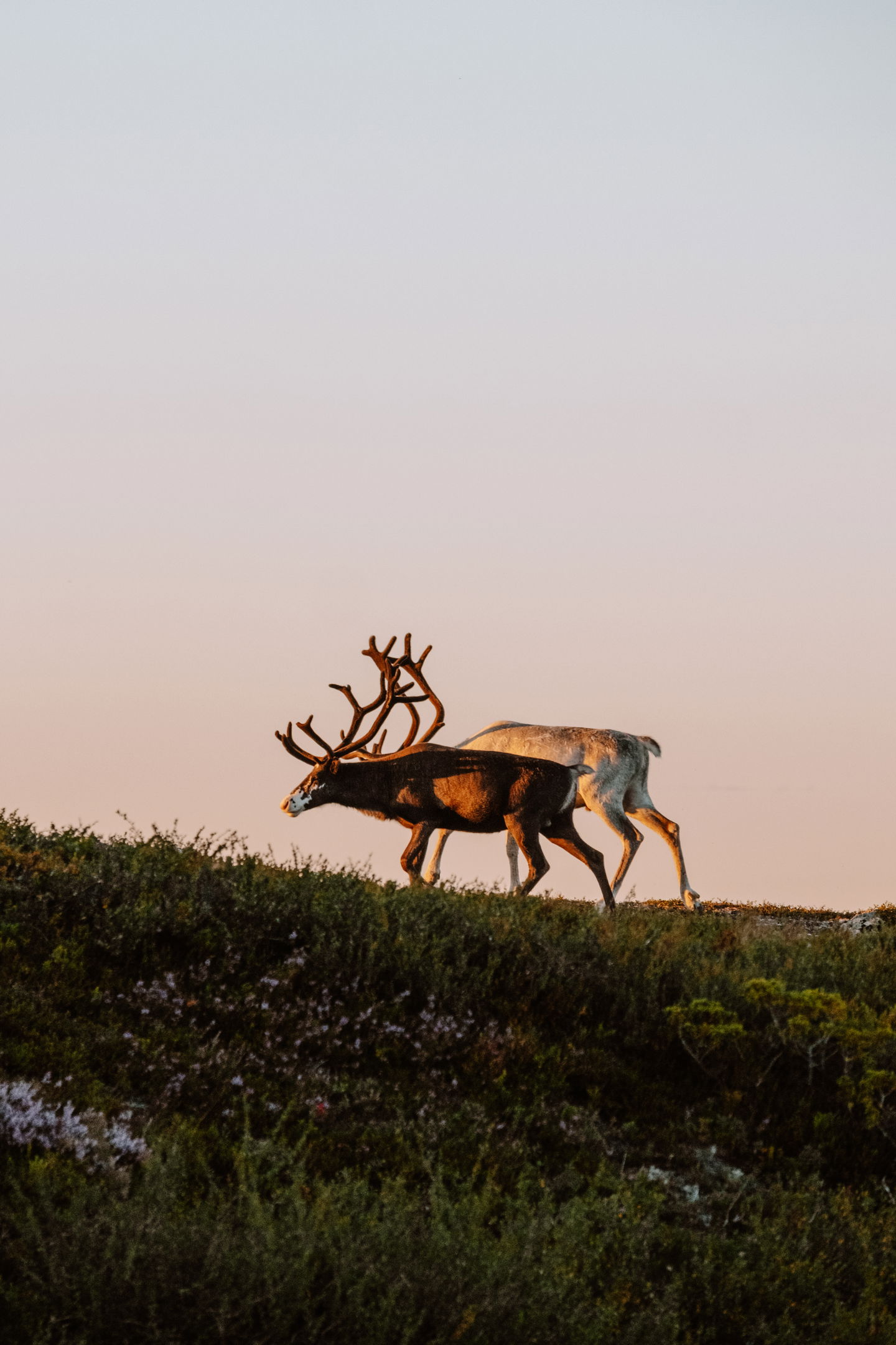
Remember to bring extra food, a camping stove with fuel and plan for several nights in a tent. Water can be taken from lakes and streams, you are responsible for purifying. A map and compass and knowledge of how to use them are essential. Be prepared for sudden changes in weather. Show great consideration for reindeer.
Read the stage text carefully.
Omschrijving
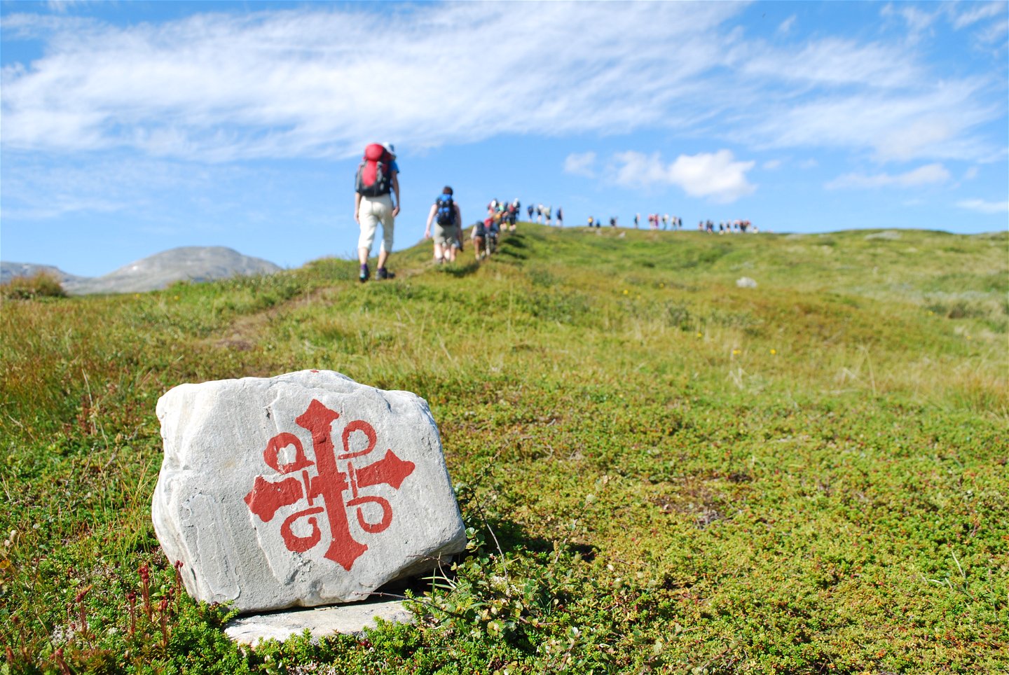
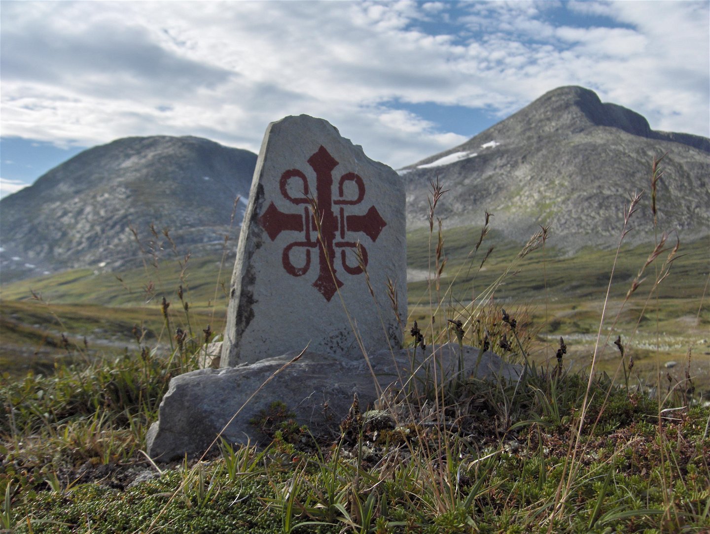
The stage requires very good mountain experience. For safety reasons, it is recommended that those who do not have it take the car to Stugudalen and continue the hike towards Trondheim from there. The trail on the Norwegian side is marked with red T and St. Olav markings.
In the Middle Ages, pilgrims took the shortest route over Skarsfjället. Nowadays, the Romboleden trail follows the state-run orange-marked summer trail instead. Hiking along it is strenuous. You walk over bare mountains, marshes, several deep fords and on steep climbs. You are surrounded by a magnificent mountain landscape.
Remember to bring extra food, warm clothes and plan for several nights in tents. Be prepared for sudden changes in weather. Show great consideration for reindeer.
Note that at the border in Skarvdörrspasset there are no communications or services, from the border it is 10.6 km to Stugudalen in Norway where there is accommodation, communications and food options. The entire distance from Ramundberget to Stugudalen is 63 km.
Read more about the stage
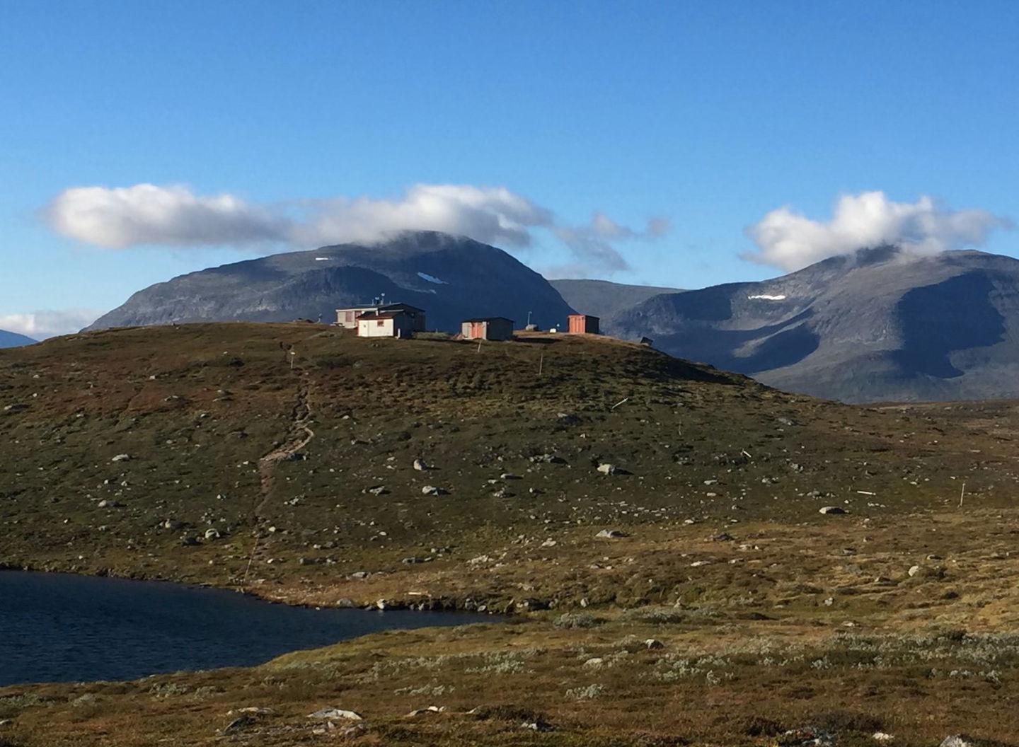
From Ramundberget you walk in the footsteps of the pilgrims in the Ljusnan valley and further over Röstvålen along the Sveån River. On the bare mountain you enjoy the beautiful mountain landscape and great nature experiences. The pilgrim path you follow is marked with very old cairns.
When you reach the state orange-marked summer trail, follow it north towards Svaaletjahke, Fältjägarstugan and further on the summer trail north of Sylsjön. The stretch from Fältjägarstugan and up to the wind shelter on the western side of Sylsjön lacks open wind shelters. In the mighty Skarvdörrspasset you cross the national border. On the Norwegian side the trail is marked with a red T that you follow to Stugudal. In Norway you can follow the trail digitally at Pilegrimsleden.no.
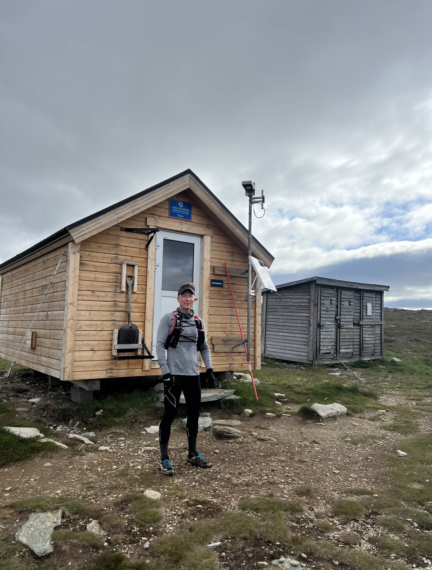
The old pilgrim trail over Skarsfjället is not maintained and marked. This route over the mountain requires very good mountain experience, safety equipment and a map and compass. It is a safer choice and provides access to a more clearly marked trail, rest hut and emergency telephone to hike the longer distance via Svaaletjahke, Fältjägarstugan and north of Sylsjön on to Stugudal in Norway.
It is recommended to hike this section from mid-July to mid- September, both out of consideration for the reindeer calving period and to avoid excessively high water flows as the trail passes several large waders.
The mountain landscape can also be experienced during a day trip around Röstvålen starting and ending in Ramundberget.
Walk in the footsteps of the pilgrims
The Romboleden offers a cultural and historical journey along paths and roads that have been trodden by pilgrims since the 11th century. It is the oldest pilgrimage trail in the Nordic region - and Sweden's longest. The trail is also one of Europe's longest pilgrimage trails. The Rombo Trail stretches approximately 900 km from Köping Church in Mälardalen to Nidaros Cathedral in Trondheim on the Norwegian Atlantic coast.
If you hike the entire trail, you will experience a beautiful and varied landscape. You will walk on old shepherd's paths, over mountain expanses and along narrow gravel roads in the countryside. You'll find everything from easy day hikes with cafés along the way - to long hikes that take several days. The trail often passes through small communities.
It's your choice whether you want to walk for health, recreation or religious reasons. The whole Rombo Trail is long, but you can of course walk each section separately. For natural reasons, the trail sometimes diverges from the historic paths, but it mainly follows the medieval route.
Thanks to the landowners - be considerate when hiking
The Rombo Trail runs largely through actively managed forest and agricultural land. Thanks to the generosity of landowners and the cooperation of volunteers, you will have the opportunity to walk through landscapes that would otherwise not be accessible.
As a hiker, it is important to remember that you are walking on someone else's land. Be considerate by sticking to the trail, avoiding disturbing animals, crops and work in progress. Leave nature as you found it - or even better.
Leave nothing but footprints along the trail.
Activiteiten en faciliteiten
-
Hiking
-
Pelgrimspad
Feiten
Bring a tent, food and camping equipment for safety.
Small cabin in Svaletjakke, possible to stay overnight if necessary.
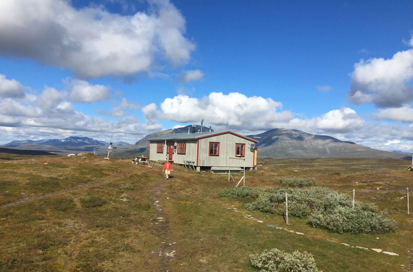
STF Fjällstuga Fältjägaren - overnight accommodation in a mountain cabin. Opening hours may vary depending on the season.
In a mountain cabin you live comfortably and simply in a multi-bed room with self-catering. The rooms are of different sizes and have stoves as a heat source and bunk beds. There is a cabin host on site who welcomes you and helps you get settled. As a guest, you chop your own firewood, fetch water from the stream or lake, wash dishes and clean up after yourself.
Drinking water is available in the mountains in streams and waterways, you are responsible for purifying your drinking water yourself.
Oppervlakte
Steep mountain terrain with difficult paths or no paths at all.
Heuvels
Hilly and sometimes steep mountain terrain at high altitude.
Vegetatie
River crossing over several rivers.
Parkeren
Parking available at Ramundberget and Stugudal in Norway.
Communicatie
Public transport Härjedalingen and Länstrafiken Jämtland
Bus line 622 serves Ramundberget.
Härjedalingen is a direct bus that runs from Stockholm via Uppsala and Gävle to Ramundberget.
Trains from Stockholm to Östersund or Ljusdal and then by bus to Funäsdalsfjällen.
You can get to Funäsdalsfjällen by car, bus, plane or train with transfer. Most people drive a car to get here, but it is also possible to take the bus. The nearest airport is in Röros in Norway, as well as airports in Sveg and Östersund, with transfer facilities to Funäsdalsfjällen.
Routebeschrijving
The nearest bus station at the start of the stage is Ramundberget, 0 minutes walk to the community of Ramundberget.
There is no public transport to the end of the stage at Stugudalen in Norway, but there is a road.
Regelingen
This is hiking in high mountain terrain that requires more from you as a hiker and careful preparation.
Thanks to the landowners – show consideration when hiking
St Olav Rombo Way runs mainly through actively cultivated forest and agricultural land. Thanks to the generosity of the landowners and the cooperation with non-profit organizations, you have the opportunity to hike through landscapes that would otherwise be inaccessible.
As a hiker, it is important to remember that you are walking on someone else's land. Show consideration by sticking to the trail, avoiding to disturb animals, crops and ongoing work. Leave nature as you found it - or even better.
Leave nothing but footprints along the trail.
Whenever you visit Swedish nature you have a Right to public access. Read more about it here.
As a hiker you are sometimes walking in protected nature with specific rules and regulations. You are responsible for making sure you are following the rules. You can read more about it at the Swedish Environmental Protection Agency and the County Administrative Board.
As a hiker, you are responsible for finding out about any local regulations, paying attention to traffic and showing consideration for others who share the trail with you.
Remember to only start camp fires in established barbecue areas and ensure that there is no fire ban in your area.
Remember that rational agriculture or forestry may occur along the trail.
Downloads
Houd er rekening mee dat sommige teksten automatisch zijn vertaald.
Vragen en antwoorden
Stel een vraag aan andere Naturkartan gebruikers.


