Gislavedsleden etapp G1 Hestra - Gislaved - En del av Smålandsleden
Hiking
- Regio: Jönköpings län
- 6715.79 km van u vandaan
Pad details
- Lengte 16.7 km
Acties
Omschrijving
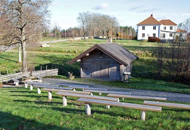
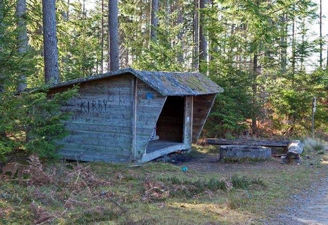
The stage starts at Isaberg, which is a rocky hill rising 150 meters above the surroundings. The northern part of the route is dominated by magical coniferous forest and the southern part by Småland village landscape. You walk mainly on forest paths and gravel roads. The stage ends at the campsite Hägnalian, which is in a protected location by a forest road. There is a shelter, barbecue area, woodshed and dry toilet.
You walk mainly on forest paths and gravel roads. This stage passes several small lakes and Högåsen, which rises 280 meters above sea level and offers beautiful views. Just before Gislavedsleden crosses highway 27 is Näs. Here you can get drinking water from a tap on the side of a house barely 100 meters from the trail.
Activiteiten en faciliteiten
-
Hiking
Contact
E-mailadres
Organisatie-logotype

Houd er rekening mee dat sommige teksten automatisch zijn vertaald.
Vragen en antwoorden
Stel een vraag aan andere Naturkartan gebruikers.


