Notteryds gula stigar
Hiking
- Regio: Kronobergs län
- 6811.58 km van u vandaan
Pad details
- Lengte 1.3 km
- Moeilijkheidsgraad Blauw - medium
Acties
Omschrijving
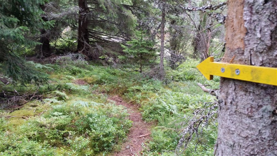
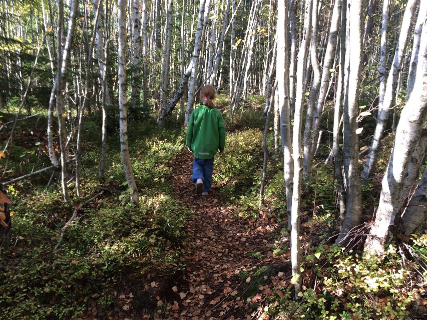
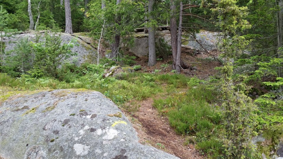
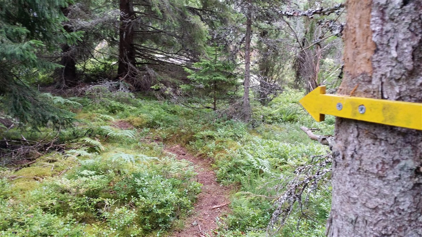
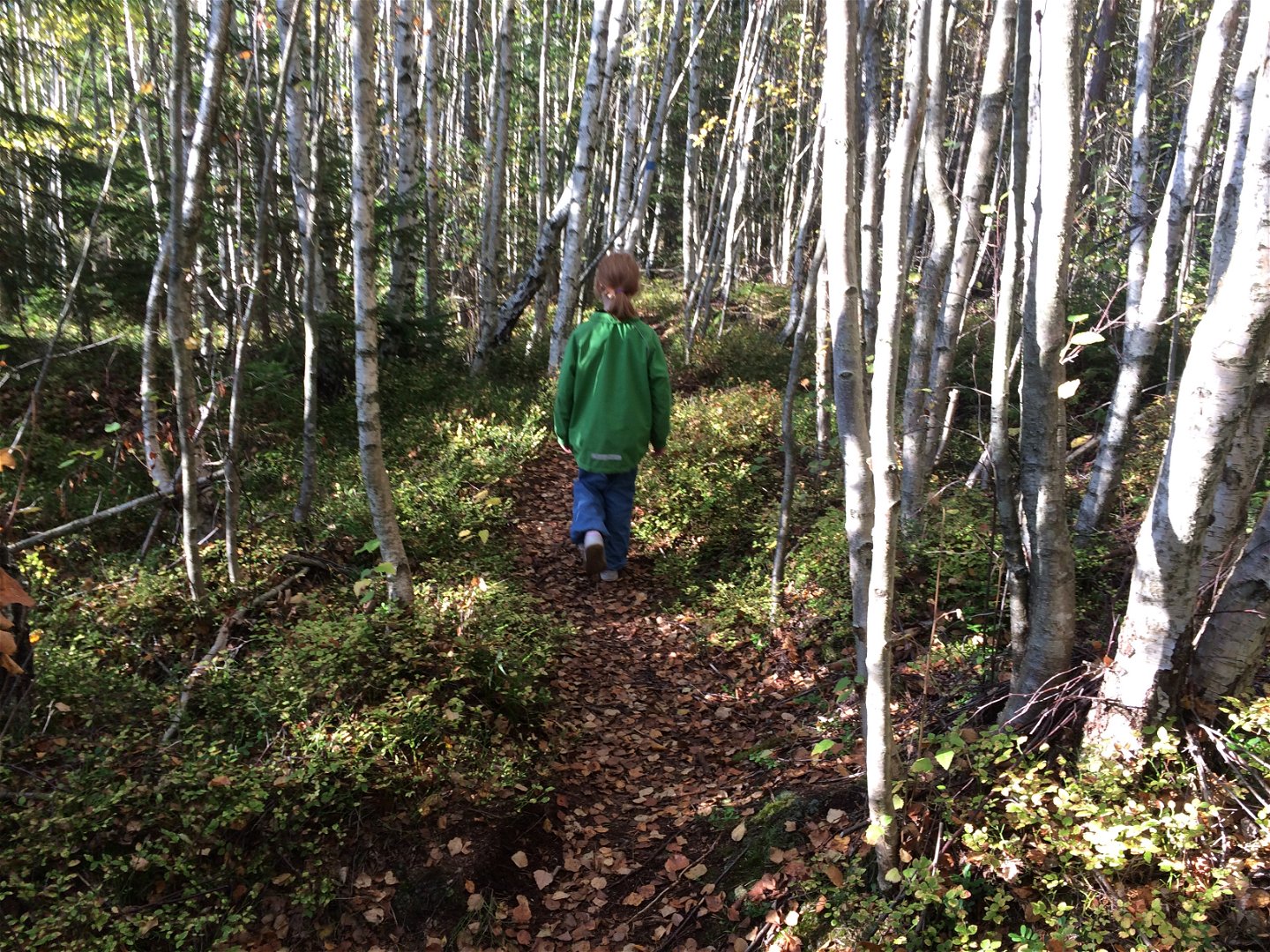
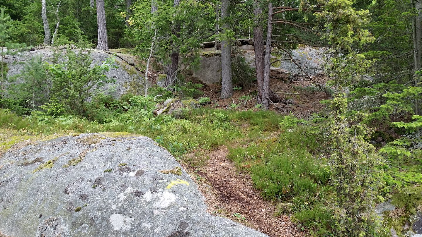
If Notteryd Runt feels too far, you can take a shortcut to several of Notteryd's gems. Yellow-marked paths reach Tungan and Tussudden, among others. The surface is generally flat and good. The path from Notteryd's flower meadow to Gripeberg, however, is very hilly.
Activiteiten en faciliteiten
-
Hiking
-
Trailrunning
Oppervlakte
Varied nature trails
Heuvels
Varied with both slopes and flat parts
Parkeren
Found in Notteryd nature reserve
Routebeschrijving
From Växjö, follow the road from Fylleryd towards Vikensved.
Contact
Adres
Telefon 0470-410 00
E-mailadres
Kontaktcenter
Organisatie-logotype

Houd er rekening mee dat sommige teksten automatisch zijn vertaald.
Vragen en antwoorden
Stel een vraag aan andere Naturkartan gebruikers.

