-
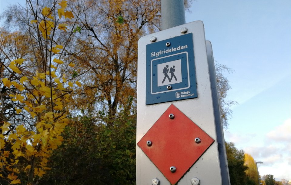
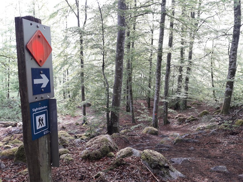
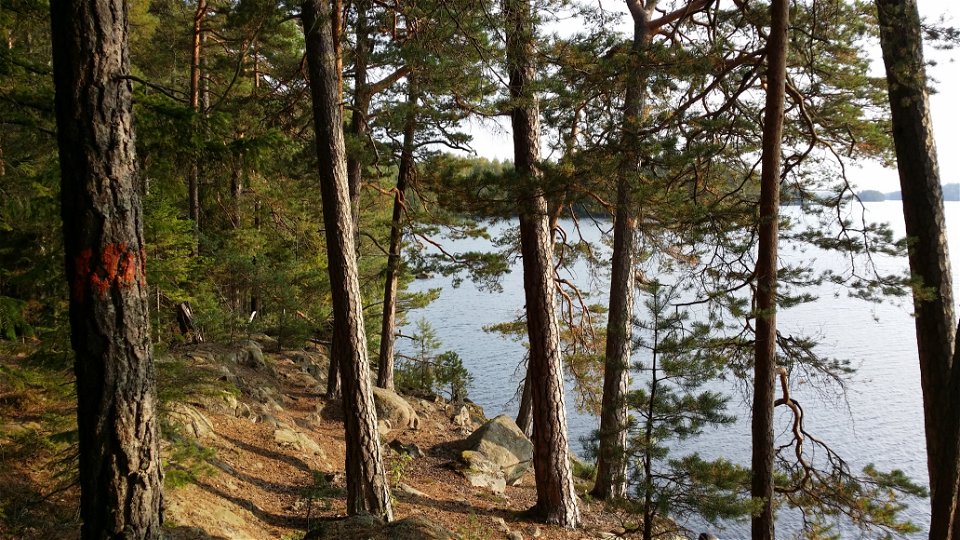
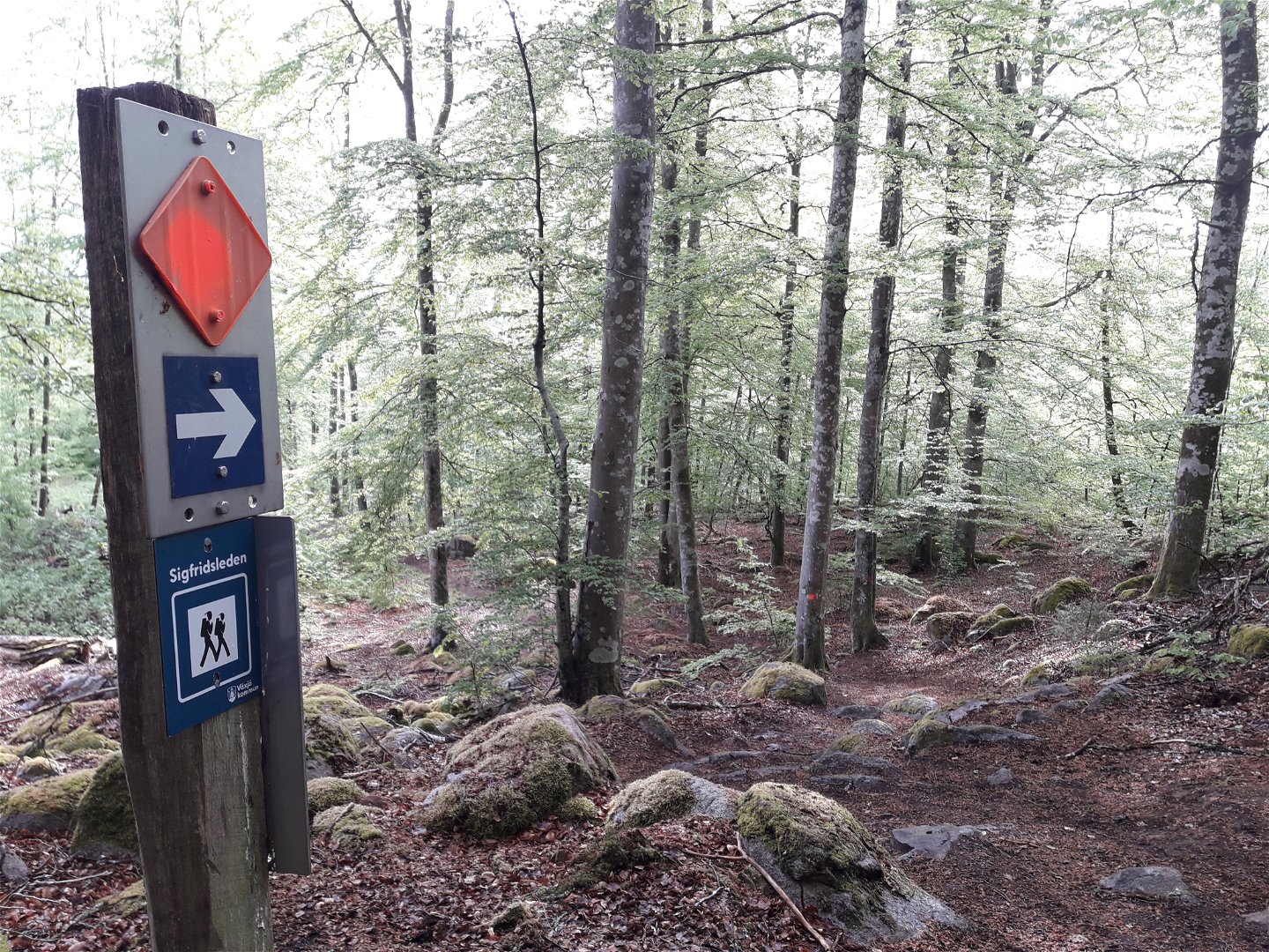
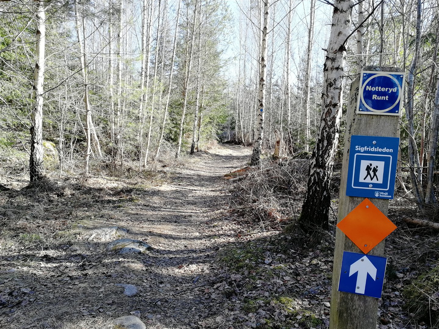
Ledmarkering -

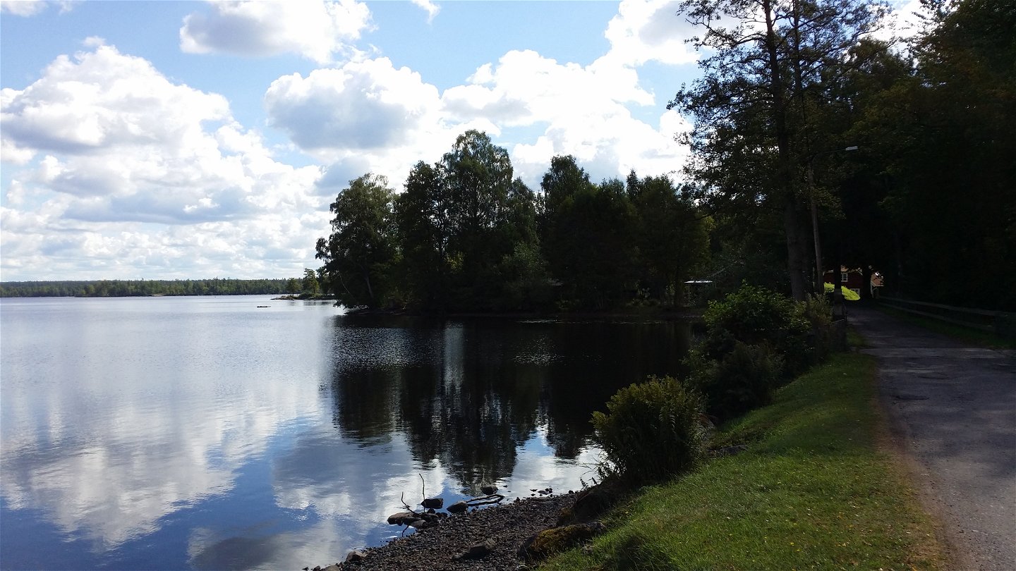
Årydsjön - en av flera sjöar utmed leden -

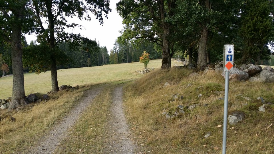
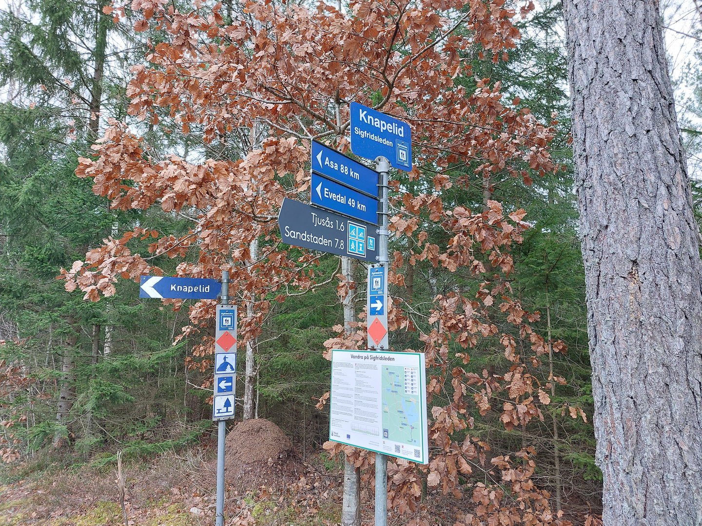
Knapelid ledentré i söder -
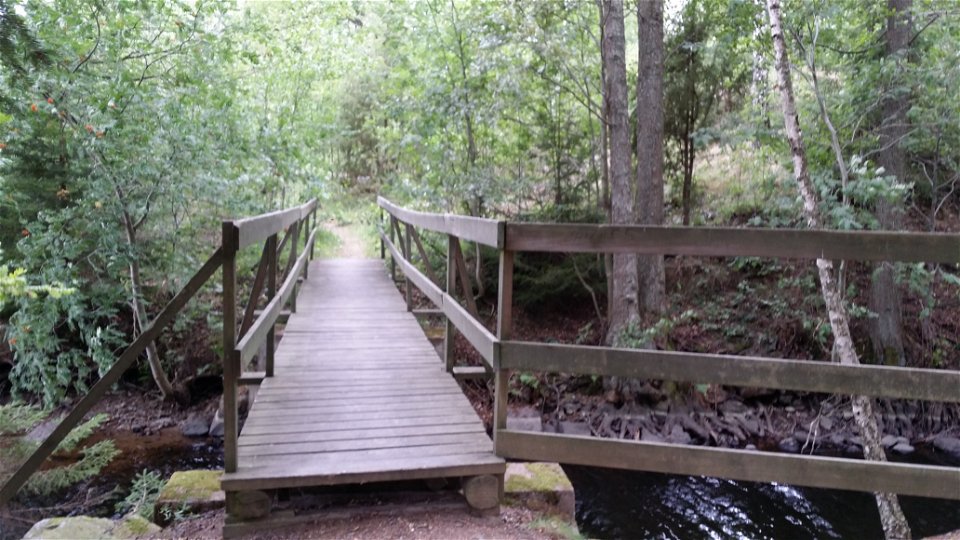
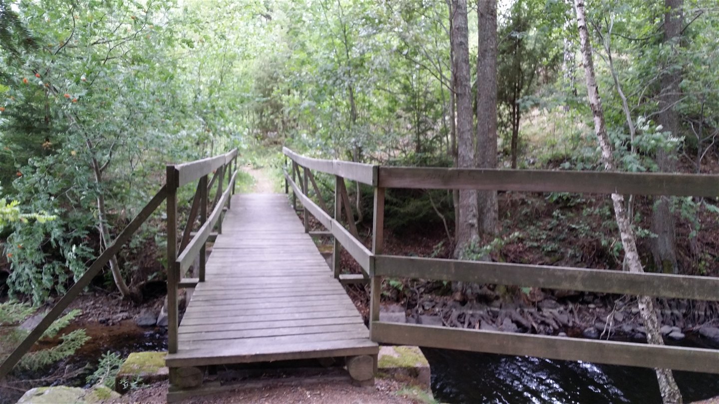
Bron vid Tomtsjön -

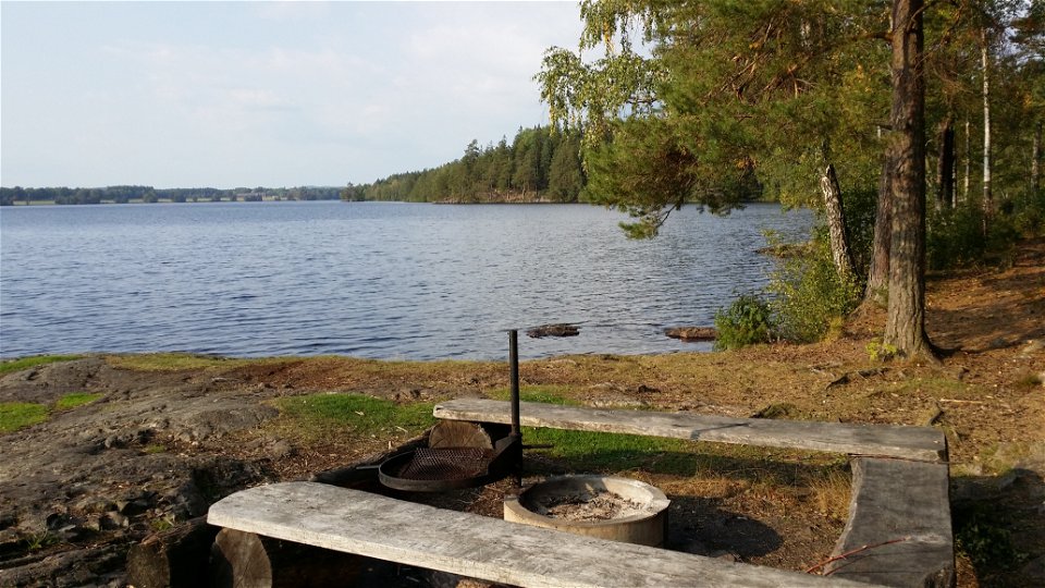
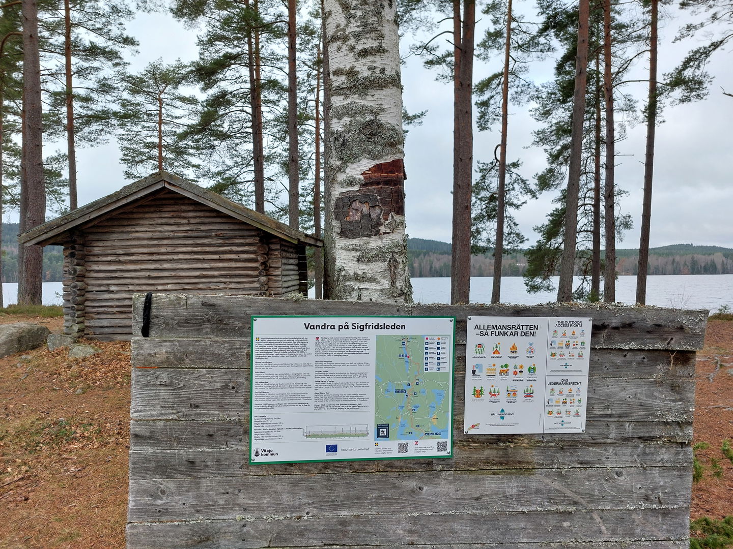
Rofylld paus vid Tjusås badplats -
Sandstaden -
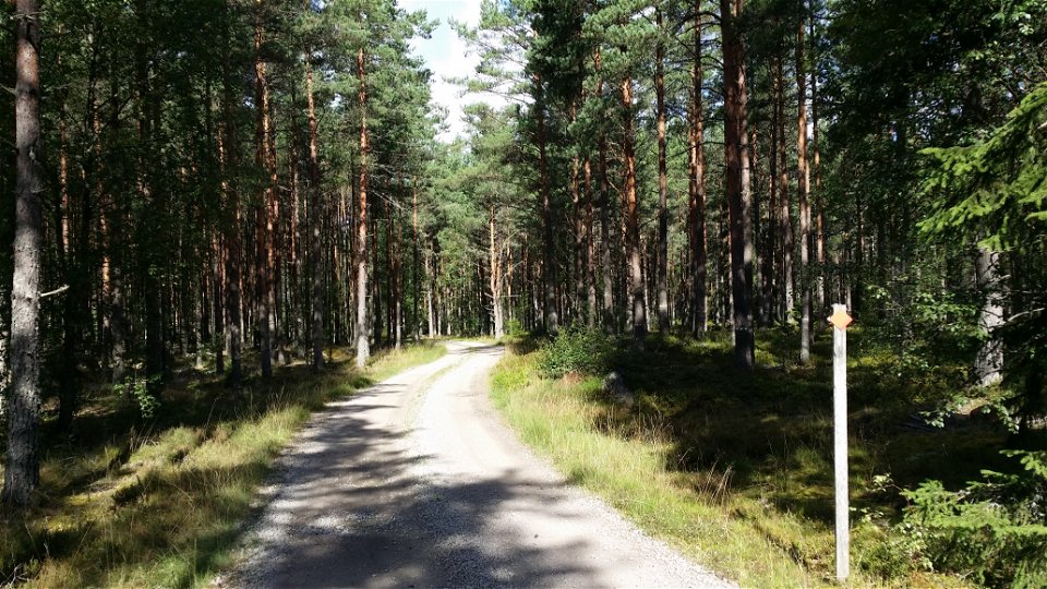
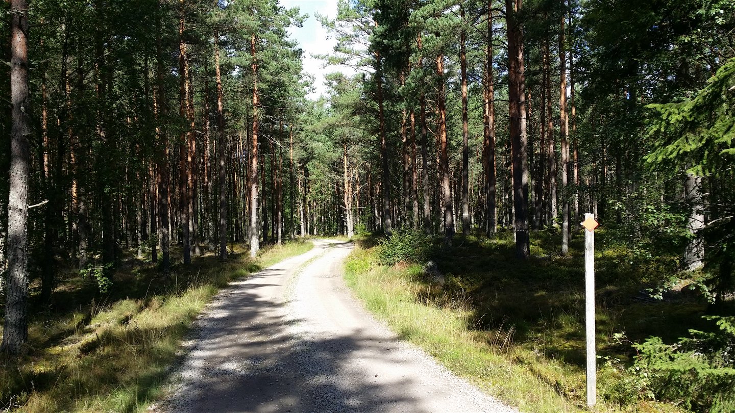
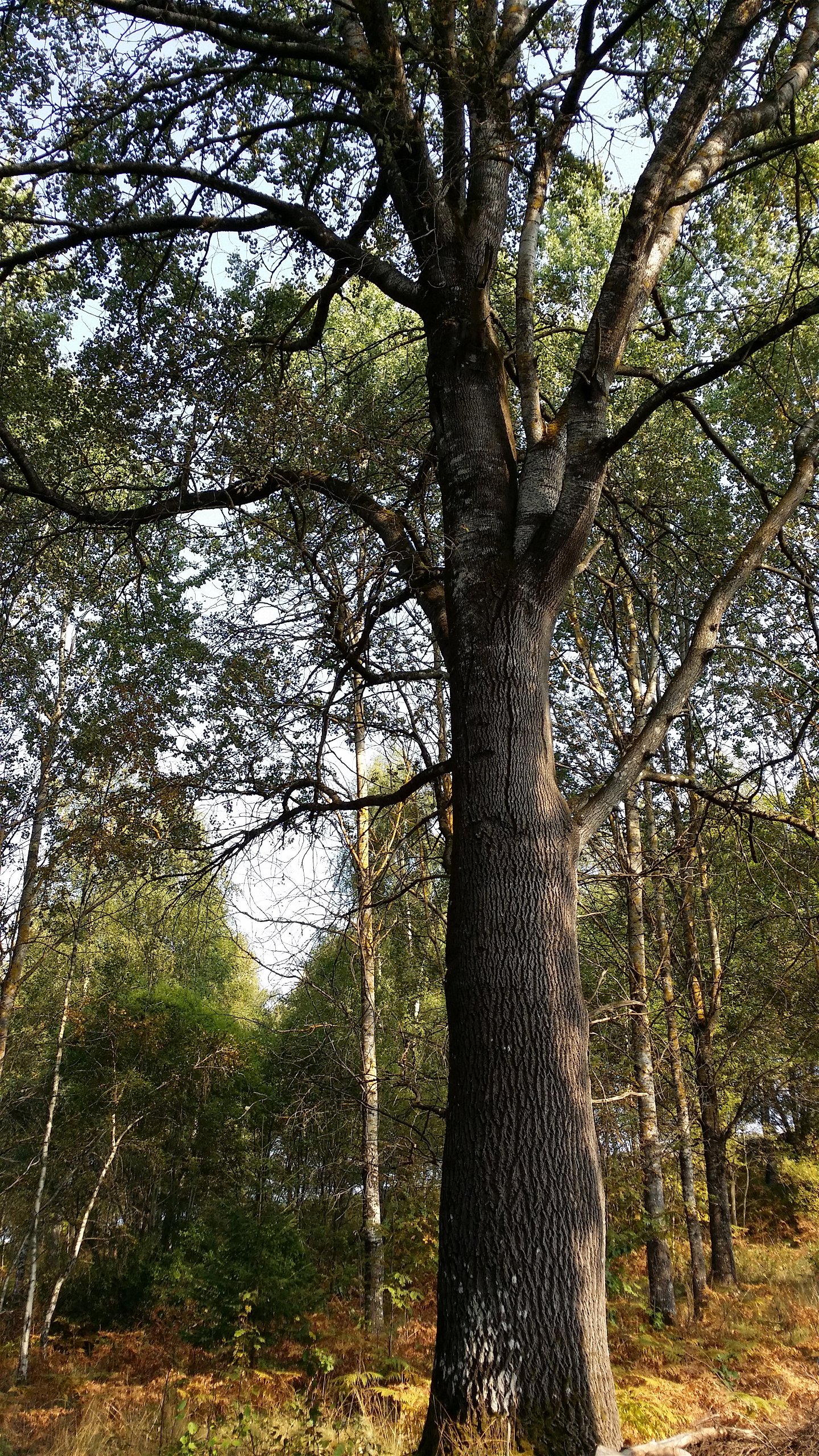
Hemmesjö; genom tallskog -
Skråhallabergen -

Naturreservatet Notteryd -
Jätte-asp vid smalspår Norrgårda -
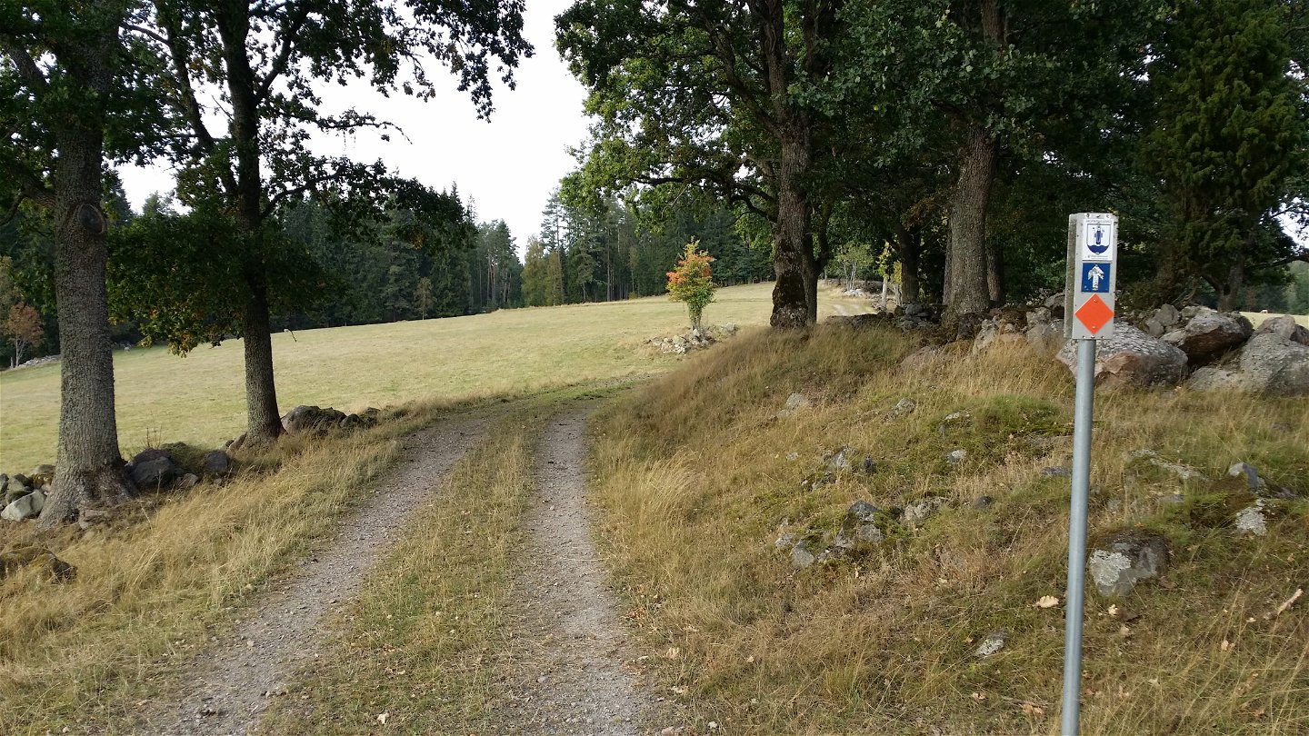
Tolg; öppna betesmarker -

Långanäs vid Asasjön -
Långanäs rastplats -
Utmed Asasjön -

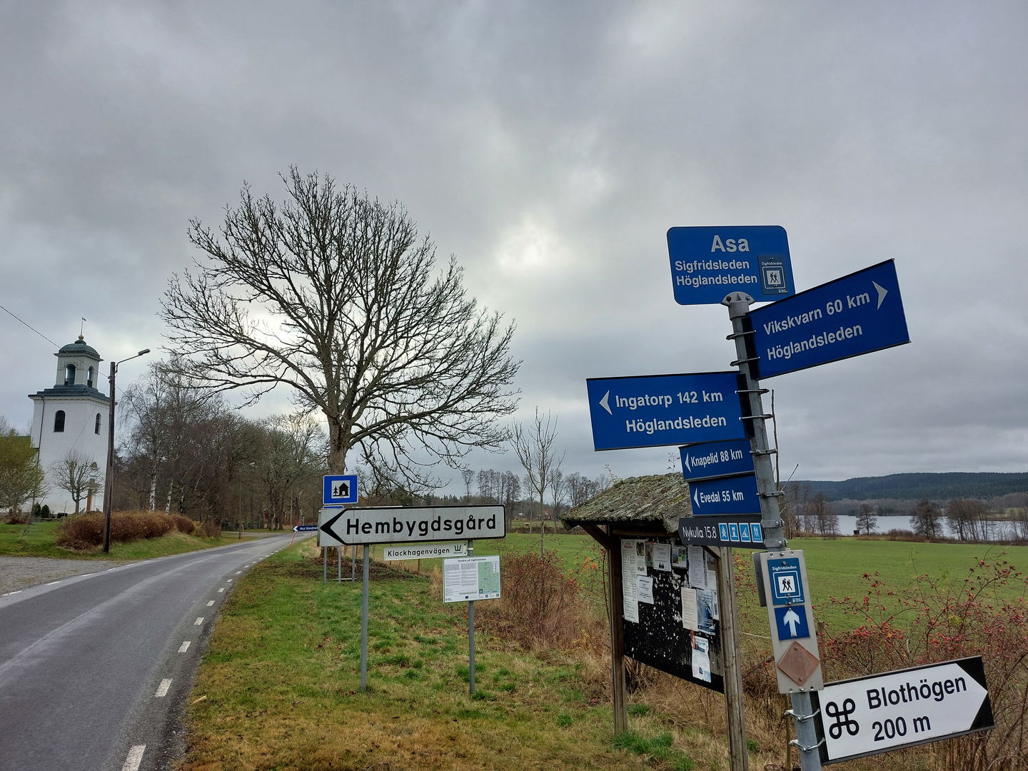
Asa - ledentré i norr


Sigfridsleden
Hiking
- Regio: Kronobergs län
- 6793.37 km van u vandaan
Pad details
- Lengte 102.0 km
- Moeilijkheidsgraad Blauw - medium
Acties
Omschrijving
The Sigfridsleden Trail is primarily a hiking trail, but works fine for mountain bikes, as well, provided you remember to show consideration to hikers, and to the natural beauty you pass. The length of the trail is about 88 kilometres, with a 14 kilometre connection via the narrow-gauge railway route to Evedal and the cathedral in Växjö. The Sigfridsleden Trail is a part of a network of hiking trails through Småland and also historically is a little part of the pilgrim trails that stretch from Spain to Nidarosdomen in Trondheim, Norway. The municipality’s only hiking trail goes through six parishes in Värend and passes many points of cultural and historical interest. At Notteryd and beautiful Skråhallabergen, the trail divides, continuing north toward Asa, and south toward Knapelid. This trail connects with the Emigrant trail in the south, and with the Höglandsleden trail in the north, at Asa.
Activiteiten en faciliteiten
-
Hiking
-
 Mountain biking
-
 Trailrunning
Feiten
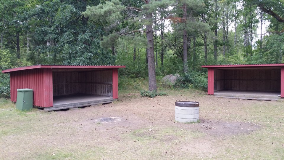
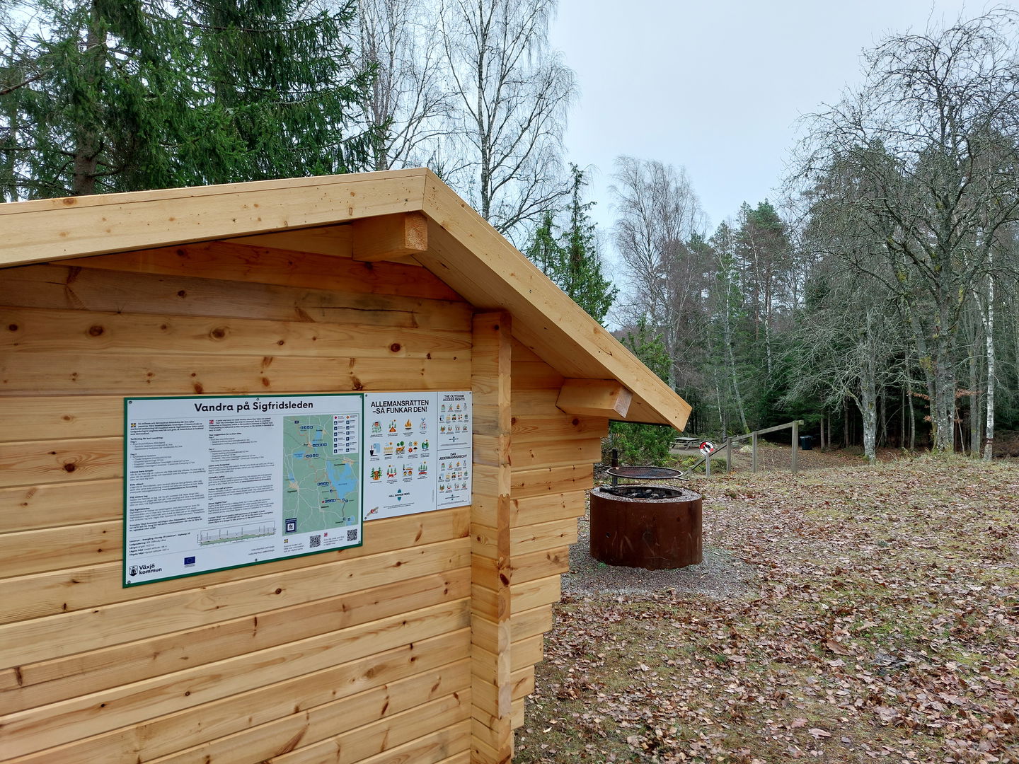
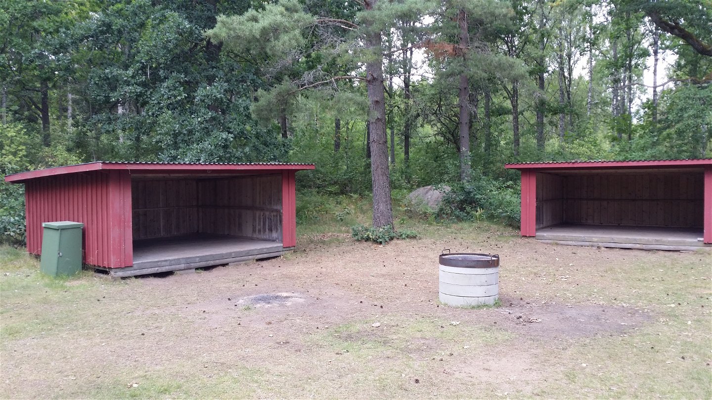
In the fall of 2024, 25 stage entrance signs and 7 signposts were installed along the hiking trail. 3 new shelters have been built at Tjusås, Sandvik and Stocke bathing place. All innovations facilitate logistics for overnight stays and access to trail information along the hiking trail. The project has been financed with support from Tillväxtverket.
Oppervlakte
Mix of trail, gravel roads and some short parts on asphalt roads.
Heuvels
In the south mostly flat, up north more hilly parts.
Routebeschrijving
Start your hike from Växjö Cathedral, Evedal, at Notteryd Nature Reserve or anywhere along the nature trail.
Downloads
Contact
Adres
Telefon 0470-410 00
E-mailadres
Kontaktcenter
Organisatie-logotype
![]()
Houd er rekening mee dat sommige teksten automatisch zijn vertaald.
Vragen en antwoorden
Stel een vraag aan andere Naturkartan gebruikers.
