


Vandringsled - Arasjöarna runt
Hiking
- Regio: Kronobergs län
- 6833.77 km van u vandaan
Pad details
- Lengte 11.3 km
- Moeilijkheidsgraad Blauw - medium
Acties
Omschrijving
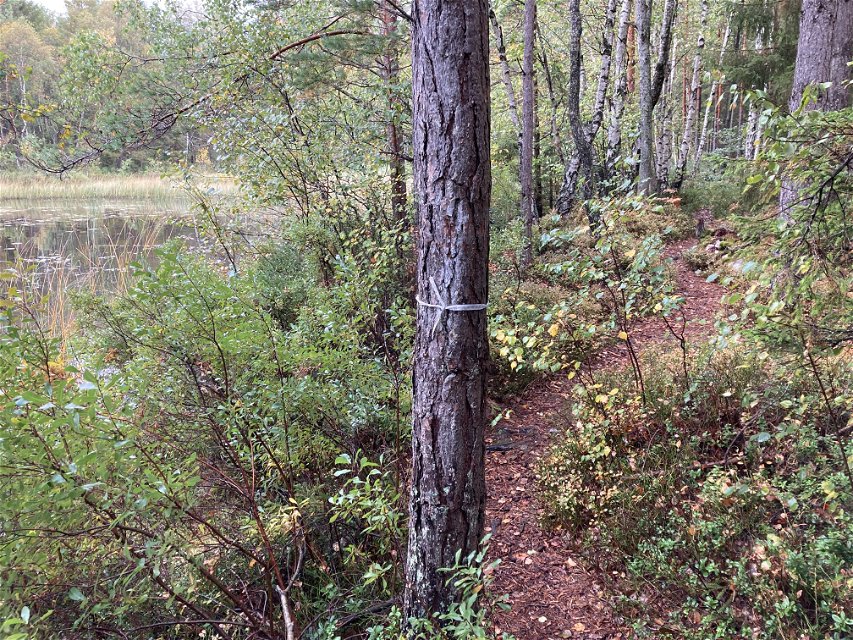
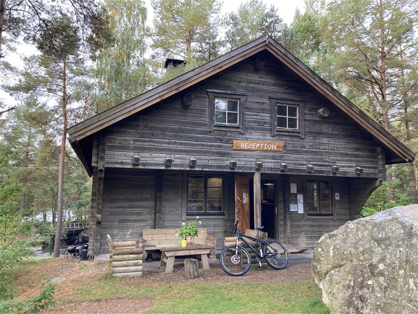
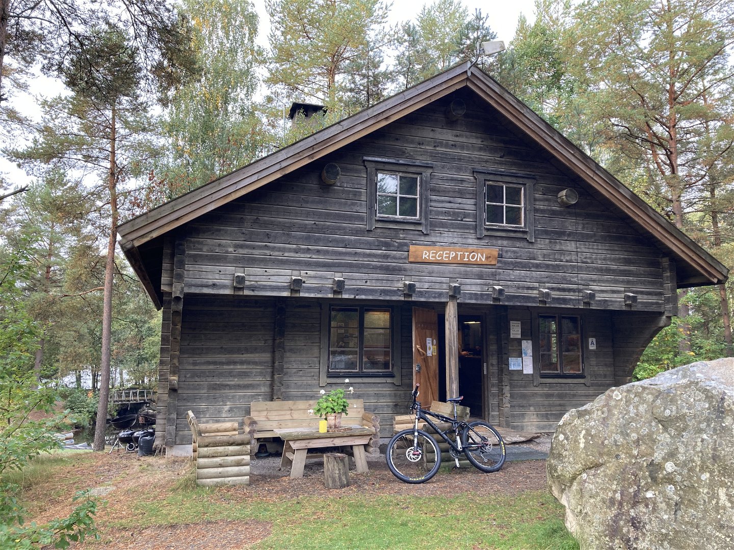
Hike around Arasjöarna with a suggested start and finish at Hätteboda wilderness camping. The trail goes around the lakes so you never have far to a log or rock down by the water when you want to take a break. The trail is not marked in the terrain except on the campsite grounds where it follows white slivers, so follow the trail here in Naturkartan application if you want to be sure you are going the right way.
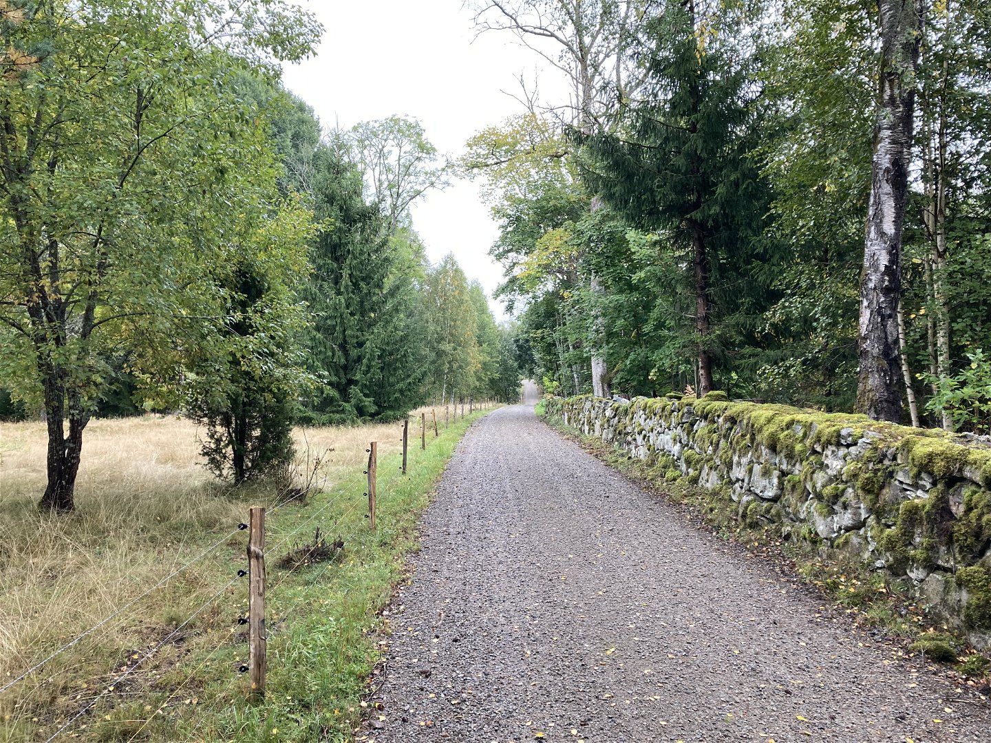
The trail goes on both asphalt road, gravel and forest road as well as smaller path so it will be a mixed experience. The common denominator is that, in any case, outside the campsite area, it is a walk through silence, and sometimes a very scenic one.
The opportunity to see animals is also found along the northern part of the loop. Wild boar tracks are also visible along the forest roads, which suggests that you are never completely alone in the forest. Keep this in mind and respect nature, animals and other people by not littering, being loud or trespassing on private property or docks.
Activiteiten en faciliteiten
-
Hiking
Oppervlakte
Paved with asphalt, gravel road, forest road and forest path.
Parkeren
Park your car where you do not disturb or obstruct other traffic or access to roads, fields or pastures. Preferably there are small pockets on the road before you turn down the last bit towards Hätteboda wilderness camping.
Routebeschrijving
It is signposted from road 120 to Hätteboda vildmarkscamping.
Contact
E-mailadres
Tingsryds Turistinformation
Houd er rekening mee dat sommige teksten automatisch zijn vertaald.
Vragen en antwoorden
Stel een vraag aan andere Naturkartan gebruikers.
