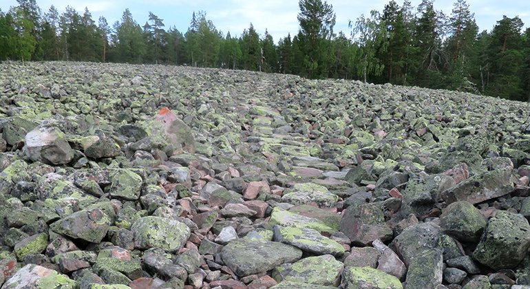
Vandringsstig, "genvägen", Bälingeberget
Hiking
- Regio: Norrbottens län
- 6643.45 km van u vandaan
Pad details
- Lengte 0.3 km
Acties
Omschrijving
A 300 metres long trail over the rubble field, marked with red paint on rocks. If you don´t want to cross the field, it is also possible to walk east of/below it.
Activiteiten en faciliteiten
-
Hiking
Oppervlakte
Rubble with the most flat side up.
Contact
E-mailadres
Länsstyrelsen Norrbotten
Organisatie-logotype

Houd er rekening mee dat sommige teksten automatisch zijn vertaald.
Vragen en antwoorden
Stel een vraag aan andere Naturkartan gebruikers.


