Björkliden-Gohpasvággi
Hiking
- Regio: Norrbottens län
- 7735.77 km van u vandaan
Pad details
- Lengte 4.0 km
Acties
Omschrijving
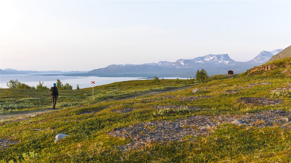
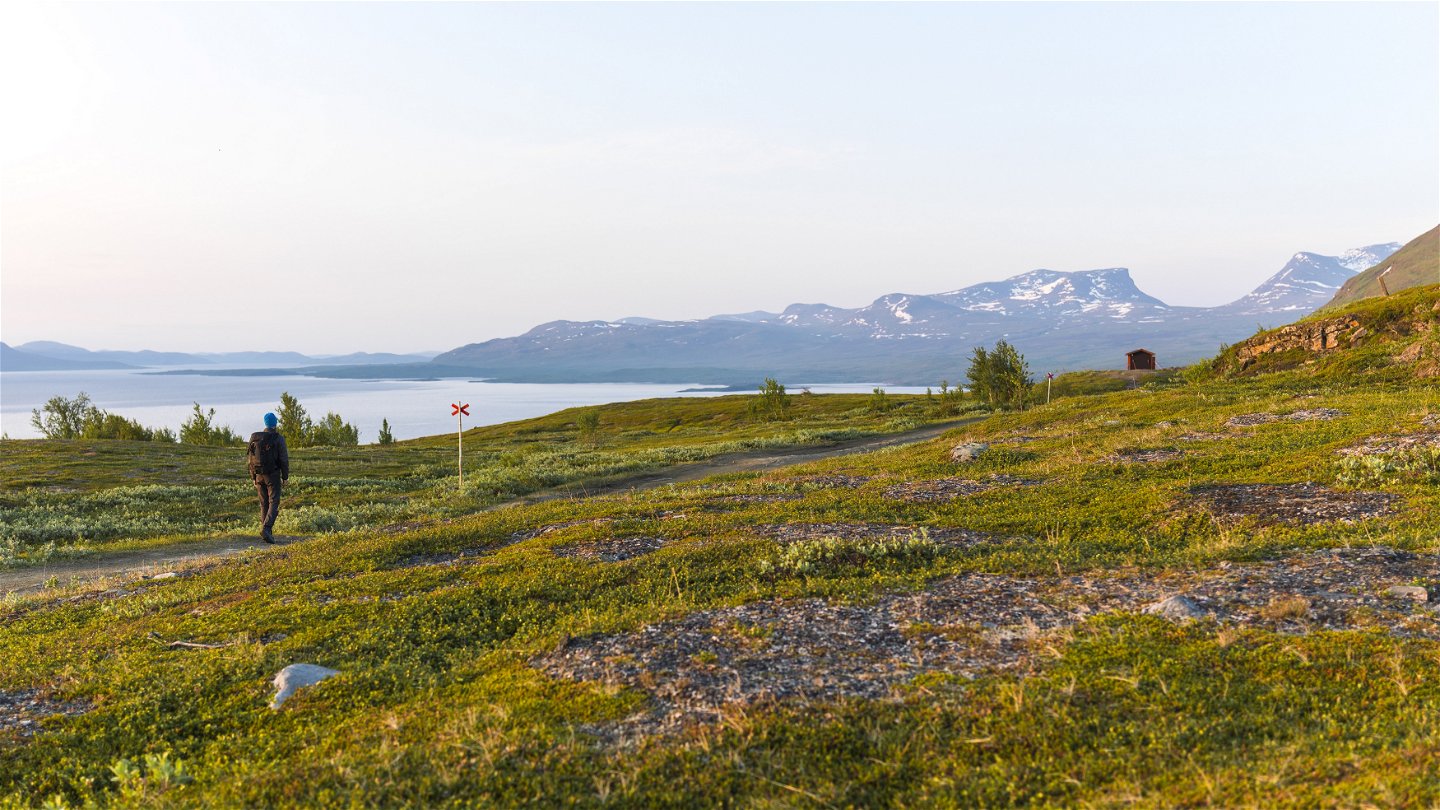
The trail quickly brings you up onto the bare mountain. At the trail cross in Gohpasvággi valley, the hike can continue to Abisko across the mountain or to Låktatjåkko mountain station via Måndalen valley.
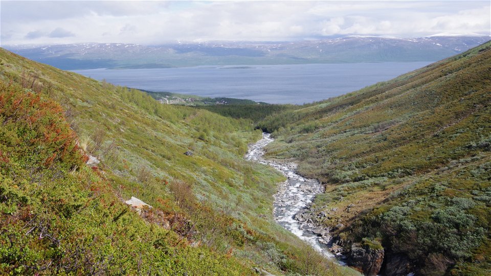
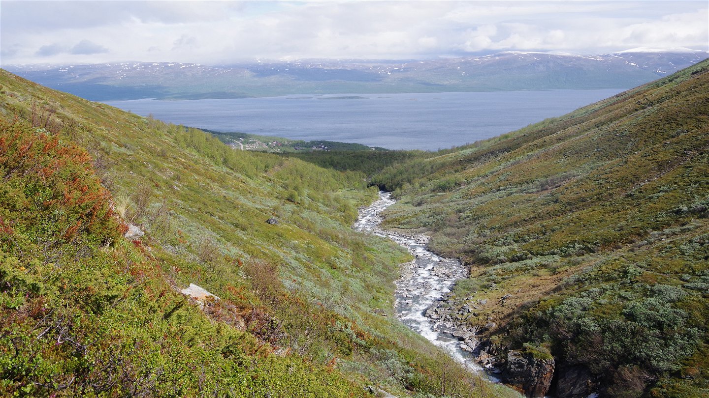
The hike starts at Hotell Fjället in Björkliden. Skirt the end of the hotel and follow the trail that runs straight across the ski slope. Then the trail passes over the watercourse Rákkasjohka via a bridge. The hike passes through birch forest and follows a gravel road past the Björkliden ski lift system. At the furthermost lift, Kittedal lift, the road turns into a path that follows Gohpasjohka watercourse upstream through willow brush. Here you reach the bare mountain. After 1 km the watercourse is crossed via a bridge and the trail then follows the east bank of the stream rising sharply to the trail crossing in Gohpasvággi valley. From here it is about 6 km to Abisko mountain station and 12 km to Låktatjåkka mountain station.
Duration: 2-2,5 hours
Activiteiten en faciliteiten
-
Hiking
Oppervlakte
Easily-hiked surface, but a testing climb. The difference in elevation is about 260 metres and the trail is steep in places.
Communicatie
Björkliden lies about 105 km from Kiruna. Both the E10 and a railway will take you here.
Länstrafiken Norrbotten (bus and coach operator) website Vy Tåg (train operator) website SJ (train operator) website Kiruna Lappland website
Contact
E-mailadres
Länsstyrelsen Norrbotten
Organisatie-logotype

Houd er rekening mee dat sommige teksten automatisch zijn vertaald.
Vragen en antwoorden
Stel een vraag aan andere Naturkartan gebruikers.


