Vandringsstig Aptasvaaras topp, Aptasvare
Hiking
- Regio: Norrbottens län
- 6465.81 km van u vandaan
Pad details
- Lengte 6.6 km
Acties
Omschrijving
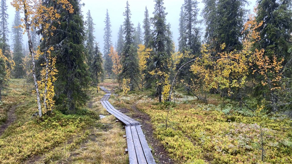
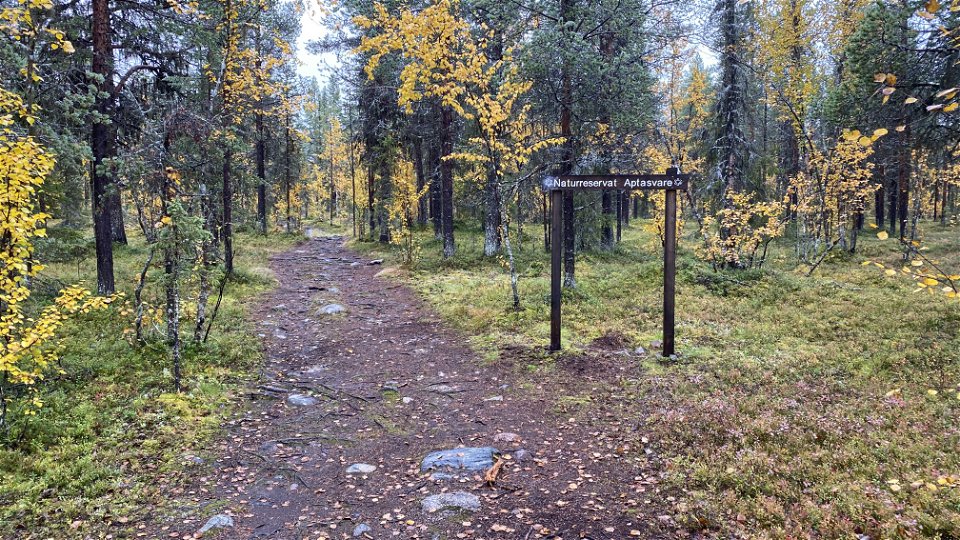
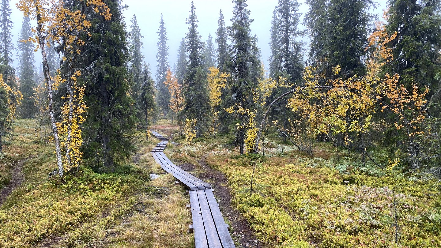
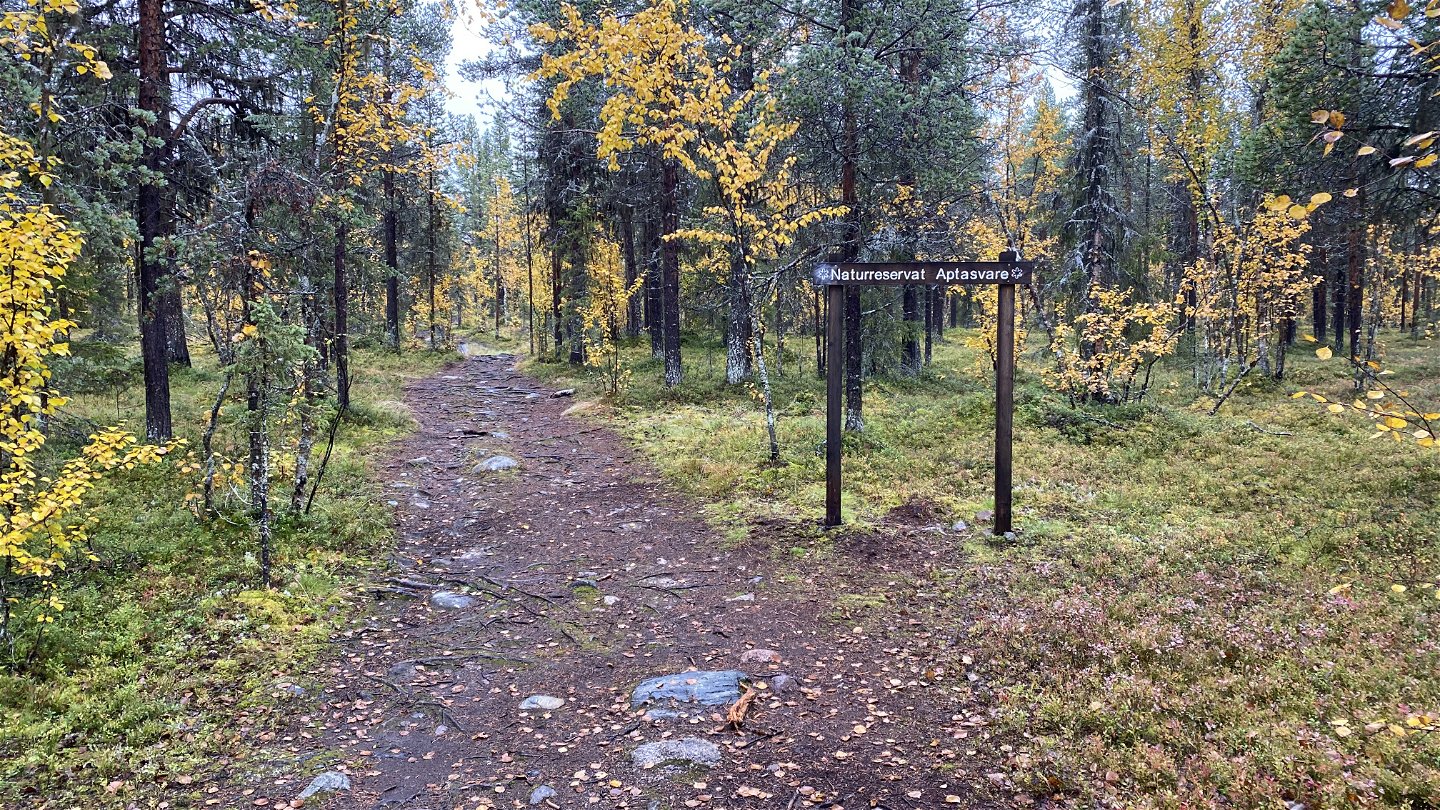
A trail up to the top of the mountain Aptasvaara. When the weather is clear there is a nice view from the top towards Kiruna city and also towards the mountains. There are two trails back and forth to the parking spot. The eastern trail is three kilometres and the western trail is 3.6 kilometres (one way).
Activiteiten en faciliteiten
-
Hiking
Contact
E-mailadres
Länsstyrelsen Norrbotten
Organisatie-logotype

Houd er rekening mee dat sommige teksten automatisch zijn vertaald.
Vragen en antwoorden
Stel een vraag aan andere Naturkartan gebruikers.


