

-

-
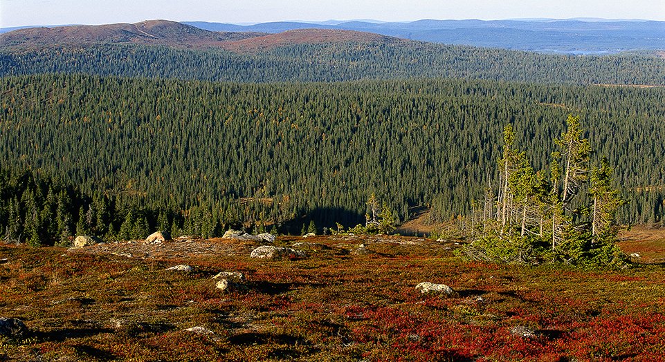
Höstvy från Akkanålke.
Foto: Thomas Öberg
Omschrijving
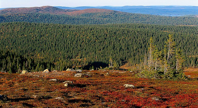
Vittjåkk-Akkanålke is a low fell near an urban area, surrounded by a vast forest landscape. There is a skiing facility on Vittjåkk, but the area also features plenty of hiking trails with hearths and wind shelters. Here you can experience the mountain world, with plants such as Trailing Azalea, Diapensia and Mountain Bearberry, and mountain birds such as Golden Plover and Willow Grouse. From up on the summits, the view is magnificent. The area is 44 square kilometres in size.
Activiteiten en faciliteiten
-
 Natuurgebied
Feiten
Municipality: Arvidsjaur
Year of formation: 2000
Size: 44 square kilometers
Administrator: County Administrative Board
Form of protection: Nature reserve, Natura 2000
Communicatie
The area lies about 6 kilometres southwest of Arvidsjaur and is most easily reached from the E45 west of the community. Several different roads lead into the nature reserve.
Routebeschrijving
The area is located about 6 kilometers southwest of Arvidsjaur and is most easily reached from road 45 west of the community.
Regelingen
All regulations can be found in the reserve decision. It is allowed to:
- camp
- make a fire, remember to bring your own wood!
- picking berries and edible mushrooms
- driving snowmobiles on snow-covered ground
- fish and hunt in accordance with the laws in force
It is not allowed to harm plant and animal life. Remember the right of public access and protect nature!
Contact
E-mailadres
Länsstyrelsen Norrbotten
Organisatie-logotype
![]()
Houd er rekening mee dat sommige teksten automatisch zijn vertaald.
Vragen en antwoorden
Stel een vraag aan andere Naturkartan gebruikers.
Beoordelingen
Misschien bent u ook geïnteresseerd in
