


-

null -

null -

-
-
Linköpings kommun -

Linköpings kommun -

Linköpings kommun

Linköping - Vreta kloster, Birgittaleden, St. Birgitta Ways
Hiking
- Regio: Östergötlands län
- 6638.63 km van u vandaan
Pad details
- Lengte 14.0 km
- Moeilijkheidsgraad Groen - eenvoudig
Acties
Omschrijving
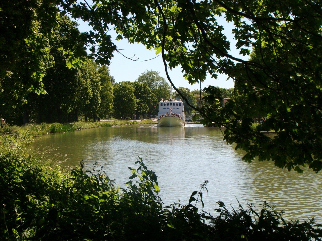
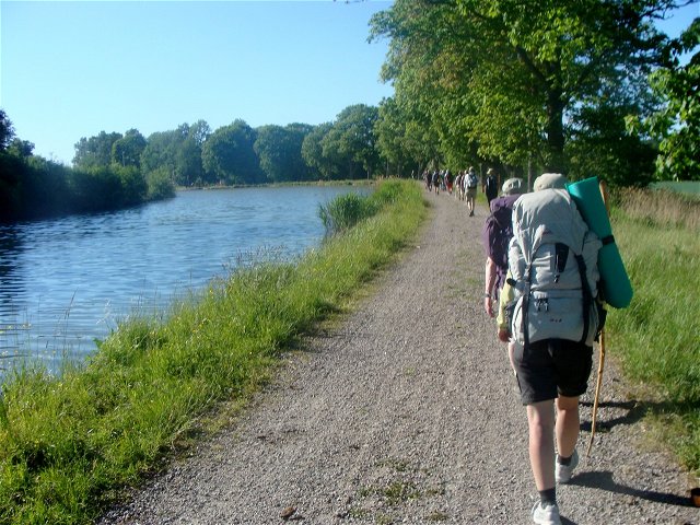
This part of Östgötaleden follows the pedestrian and bicycle paths from Berg towards central Linköping. Along the trail you can see both a fine cultural environment and a fine natural environment. One passes Vreta monastery which was built around the 12th century by King Inge the Elder (Inge Stenkilsson) and Queen Helena. On this part of the trail you also pass Svartån.
The
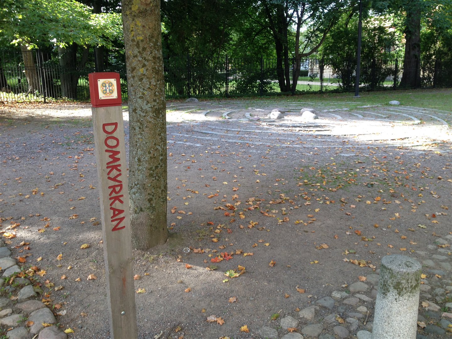
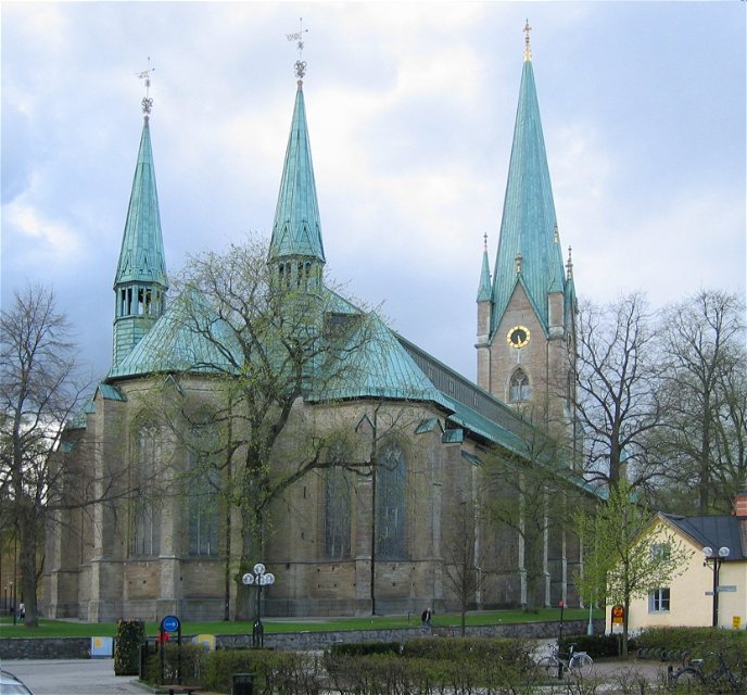
Linköping Cathedral is the perfect place to enhance the pilgrim experience.
Don’t miss the Birgitta Chapel and the beautiful bronze sculpture of a sleeping
pilgrim. The priest or deacon will gladly send you off with a blessing if they
are not busy.
From
Linköping Cathedral, you can choose between two routes:
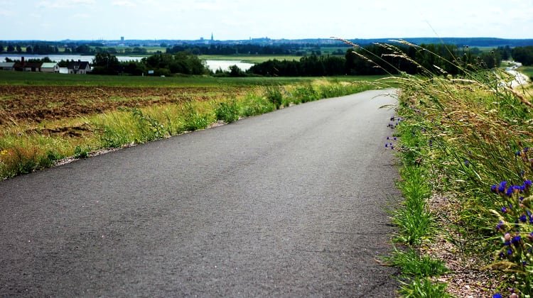
The first route follows the Stångån/Kinda Canal, then through an area with industry and
shopping centers, before joining the cycle path towards Vreta Abbey. This route
is mostly on asphalt. This rout follow the regional hiking rout Östgötaleden.
More
information about the trail can be found on the Östgötaleden website.
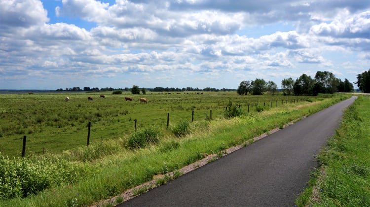
The second route goes via Skäggetorp and Tift, initially through an urban environment and
then mostly on gravel roads, concluding with an asphalt cycle path. Kaga Church
is a perfect rest stop with beautiful paintings and a small museum. The road
after Kaga is narrow and winding, so be cautious of traffic. Once you’re on the
cycle path towards Vreta Abbey, you can continue at a good pace. (Here the two different routs meet)
(May 2025)
Activiteiten en faciliteiten
-
Hiking
-
 Pelgrimspad
Routebeschrijving
Birgittaleden can be reached by public transport in many places. Contact Östgötatrafiken at www.ostgotatrafiken.se or 0771-21 10 10.
Downloads
Contact
Adres
Har du frågor kring leddragningar eller intressepunkter på St. Birgitta Ways kartguide. Kontakta då pilgrimsutvecklare Emanuel Eriksson
E-mailadres
Linköpings stift, Svenska kyrkan
Organisatie-logotype
![]()
Houd er rekening mee dat sommige teksten automatisch zijn vertaald.
Vragen en antwoorden
Stel een vraag aan andere Naturkartan gebruikers.

