Anslutningsled Lämneå
Hiking
- Regio: Östergötlands län
- 6736.79 km van u vandaan
Pad details
- Lengte 2.8 km
- Moeilijkheidsgraad Groen - eenvoudig
Acties
Omschrijving
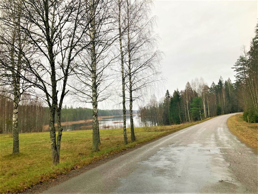
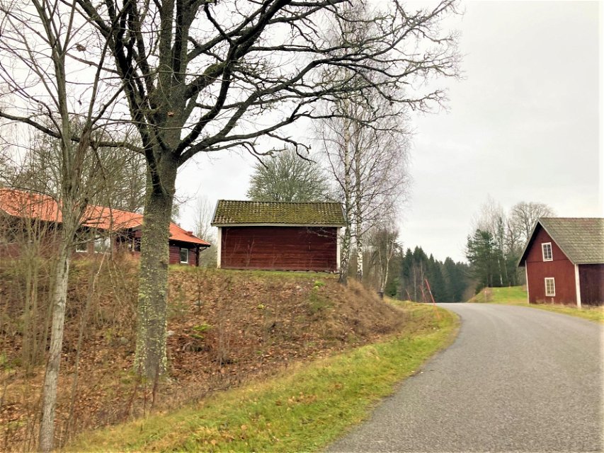
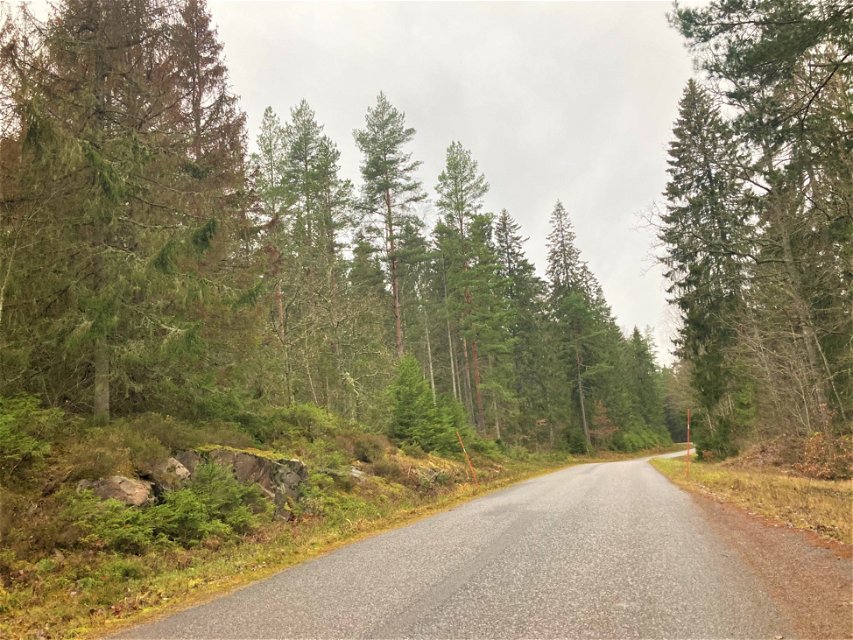
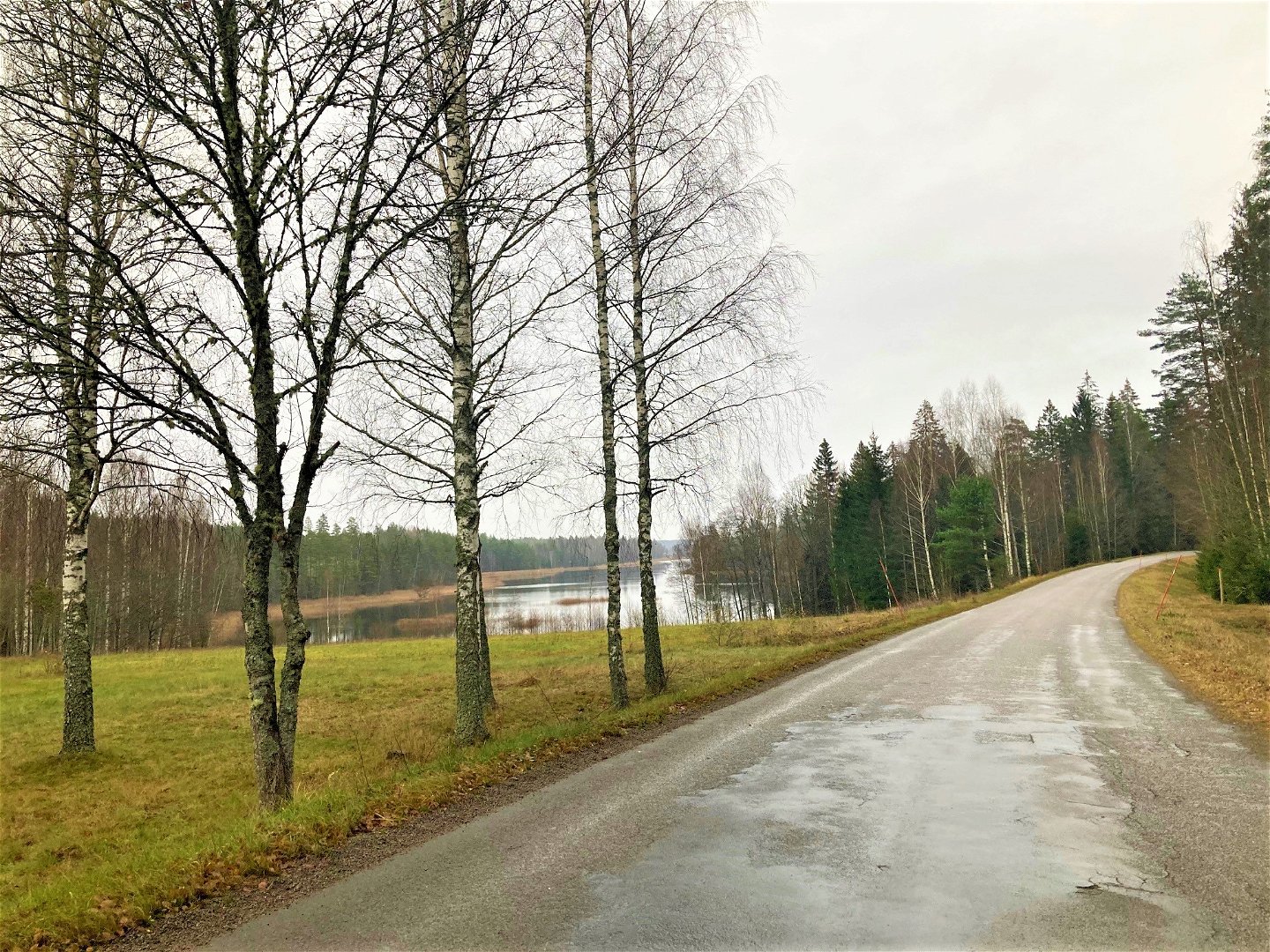
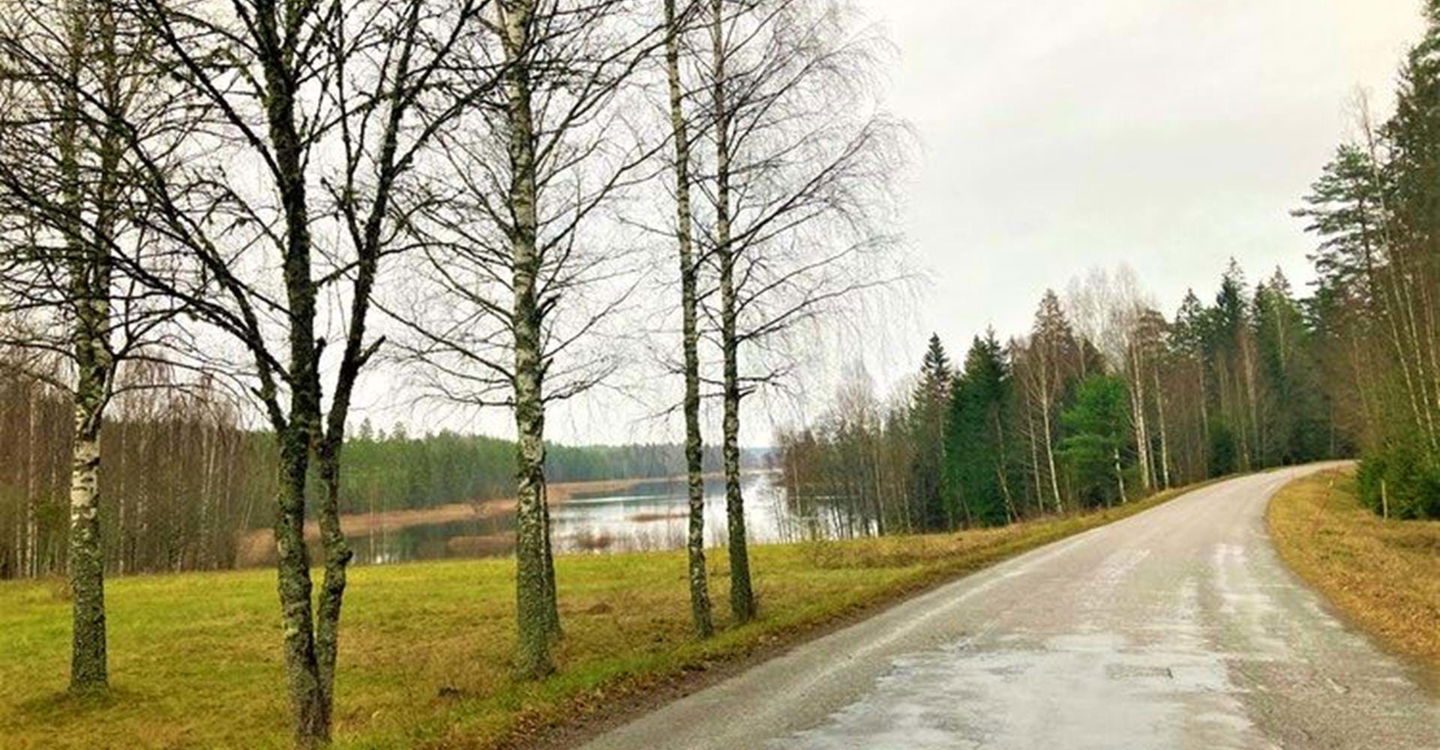
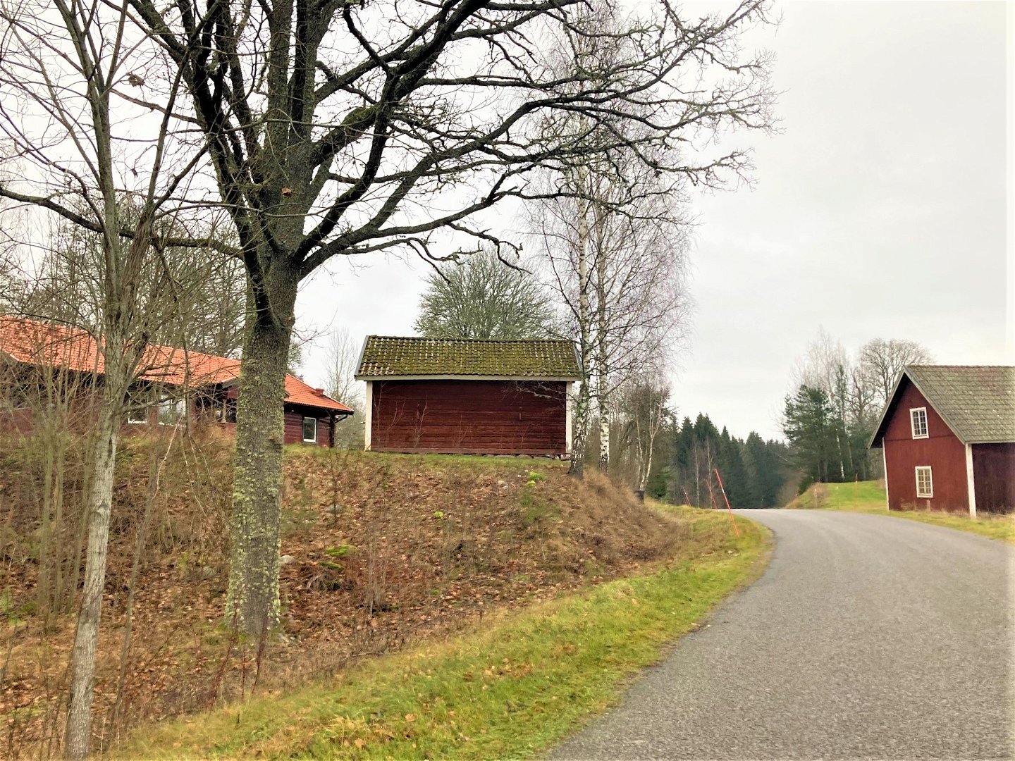
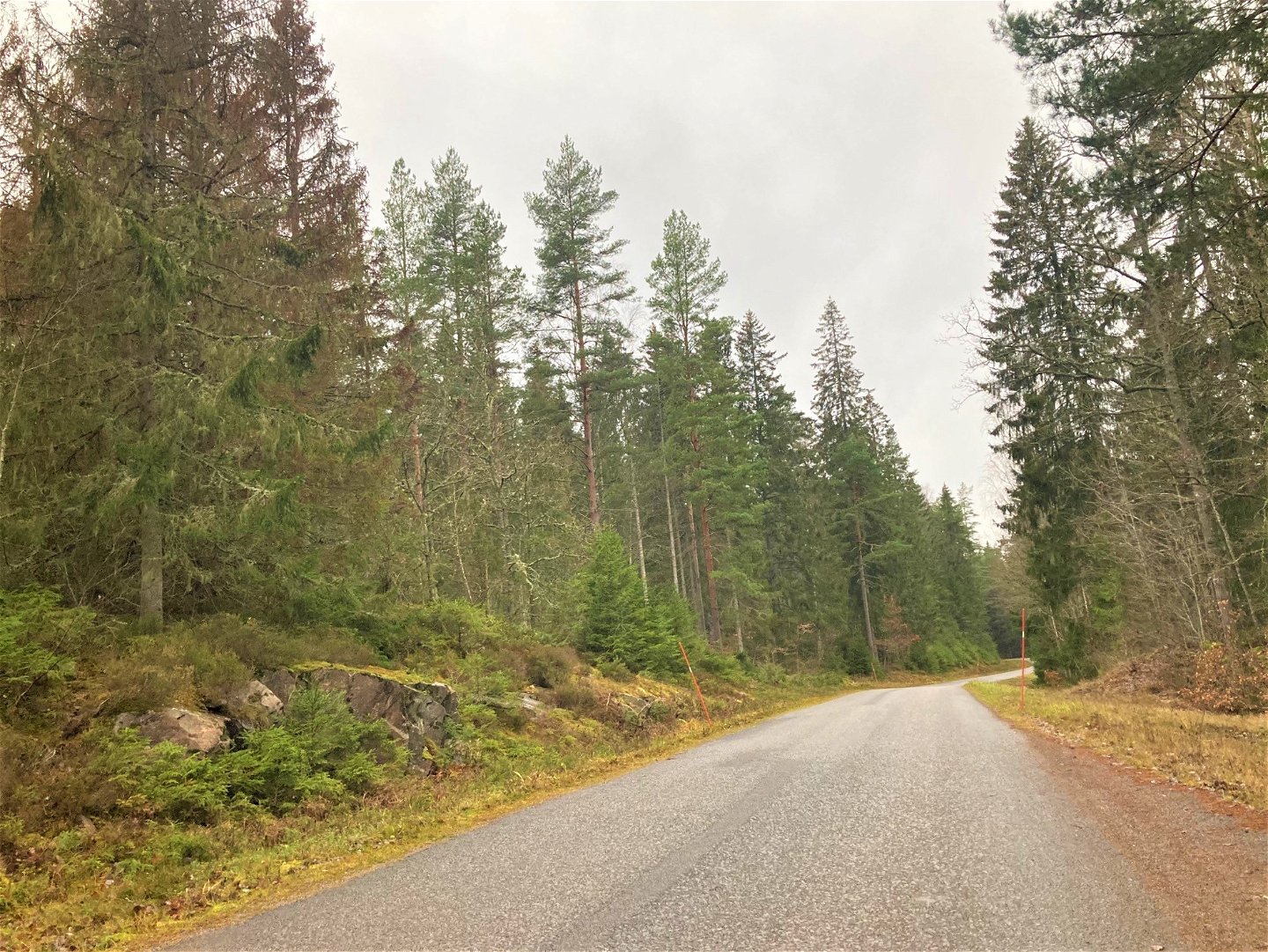
This trail runs partly on a country road with a view over Sandviken, which is a beautiful part of Annsjön. You will also walk on paths through Tjällmo's coniferous forests. The trail passes Perkil's kettle, one of Sweden's largest pothole. The impressive hole, which today is filled with water, gives a bottomless impression like the entrance to the earth's interior. The hole was formed during the end of the ice age by a rotating rock that was drilled into the bedrock by the rushing water. It is 12 meters deep and at its widest, 4 meters. It is signposted to Jättegrytan.
Activiteiten en faciliteiten
-
Hiking
Contact
Adres
Välkommen till Östgötaleden, 150 mils vandring i Östergötland!
E-mailadres
Kontakt Östgötaleden
Organisatie-logotype

Houd er rekening mee dat sommige teksten automatisch zijn vertaald.
Vragen en antwoorden
Stel een vraag aan andere Naturkartan gebruikers.

