


Östgötaleden


Hiking
10.4 kilometres: 2–3 hours.
Accommodation: Borghamn Strand (https://www.borghamn.com)
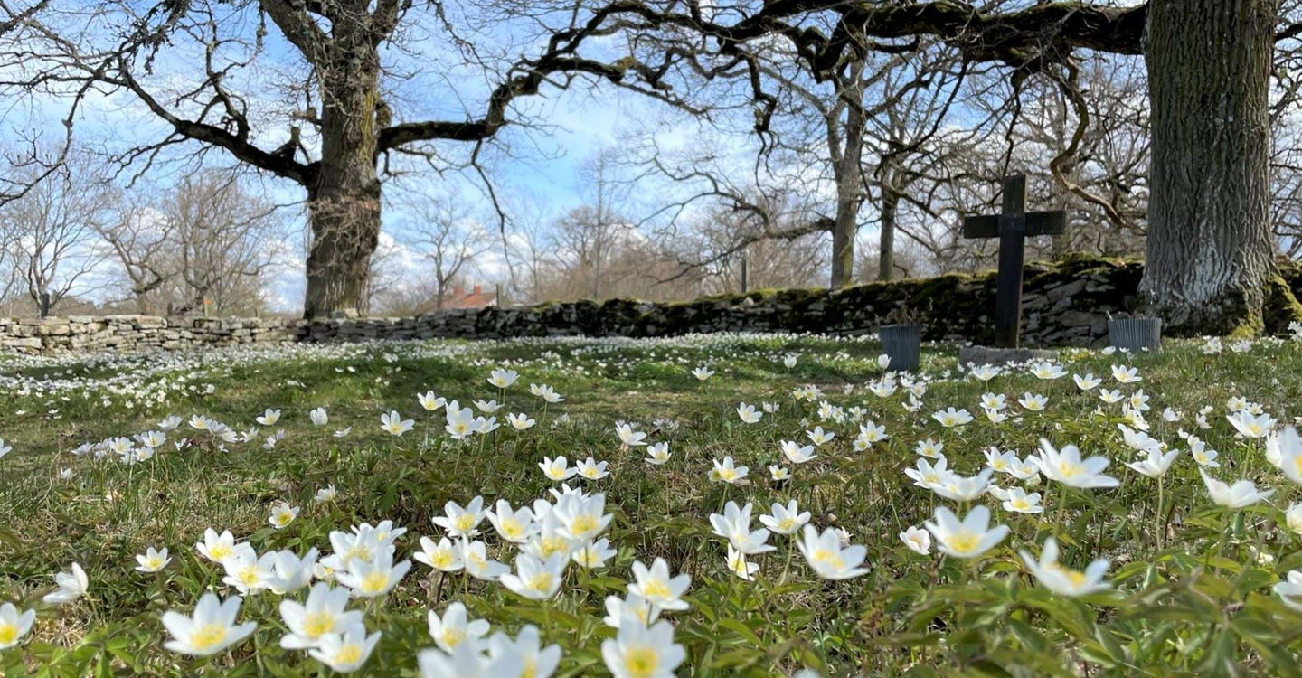
If you begin the hike at Stocklycke, you really should start with a detour up to Hjässan, the highest point on Omberg. There you can enjoy a view of lake Vättern and the beautiful Östgöta plain.
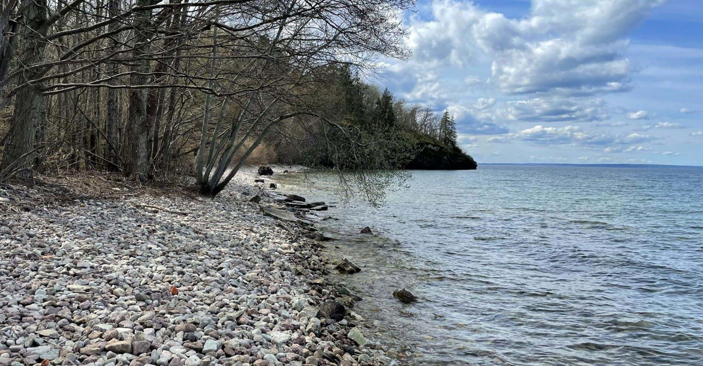
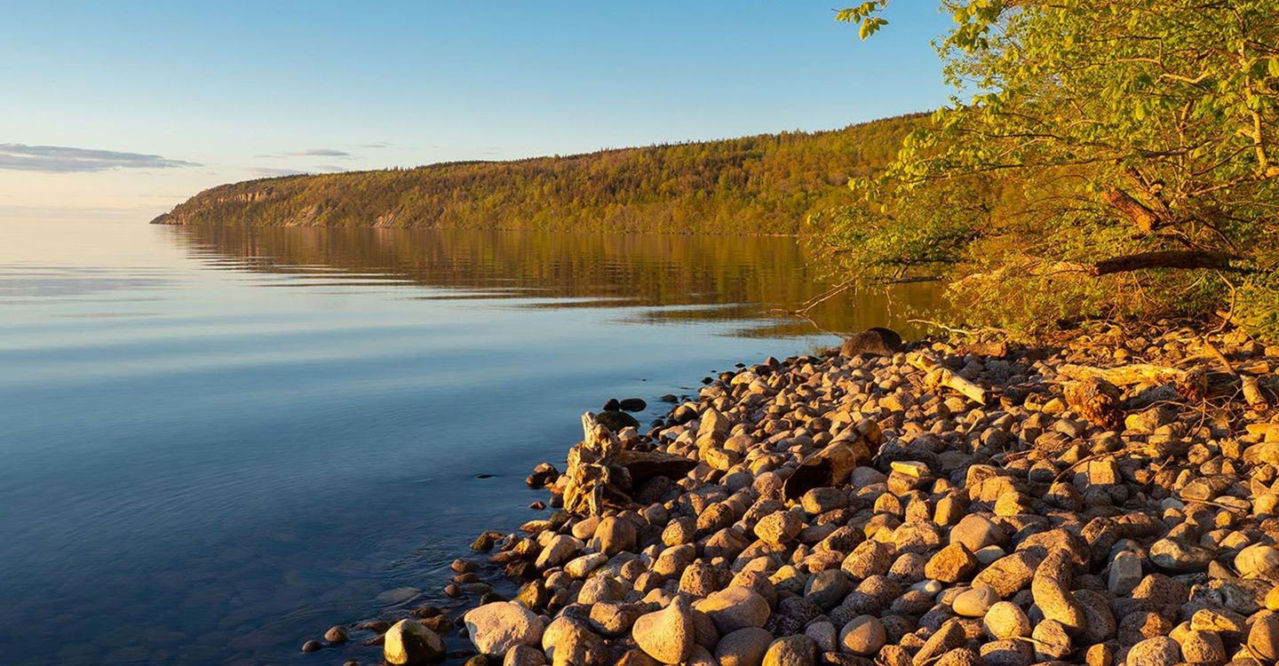
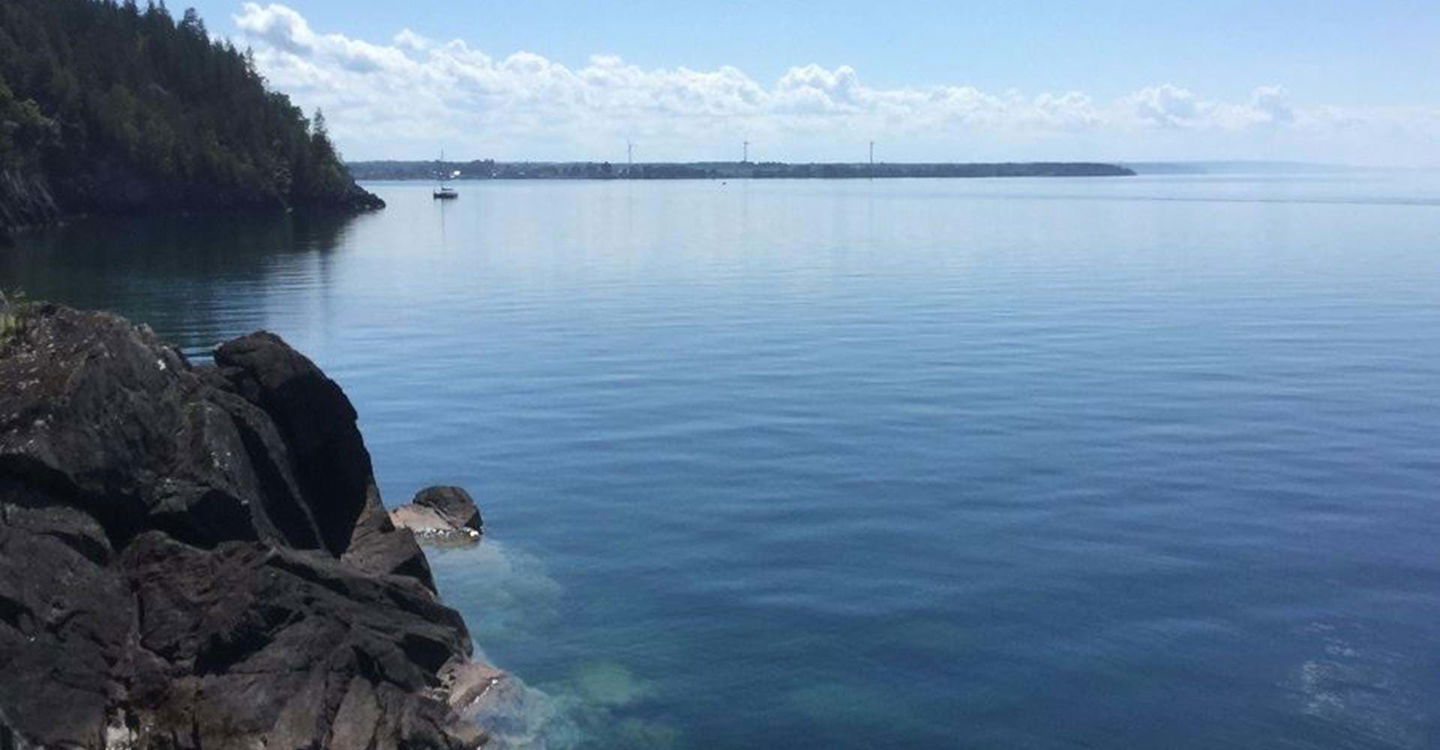
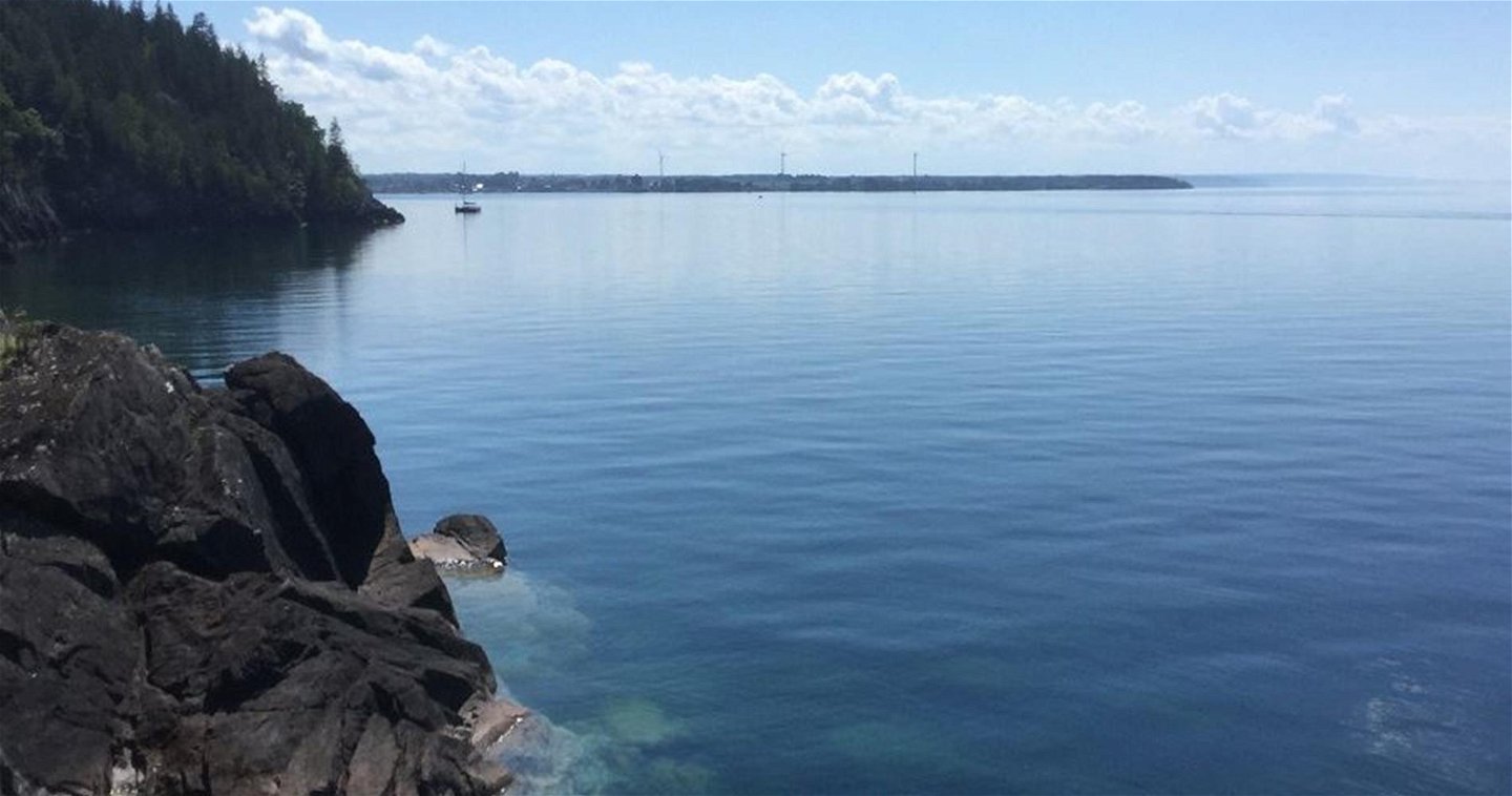
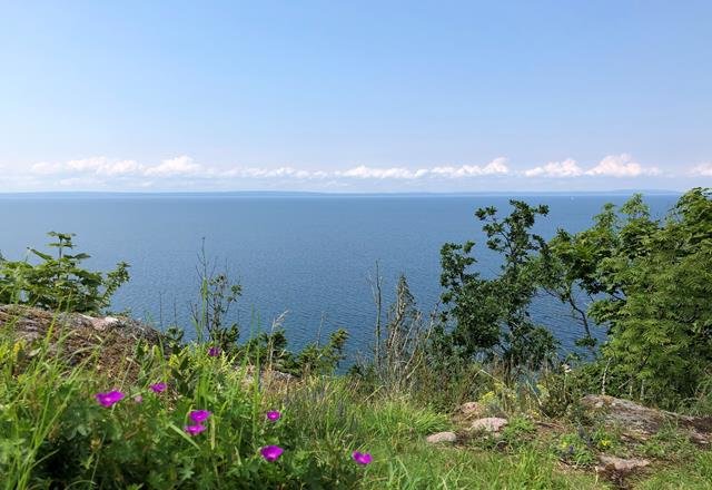
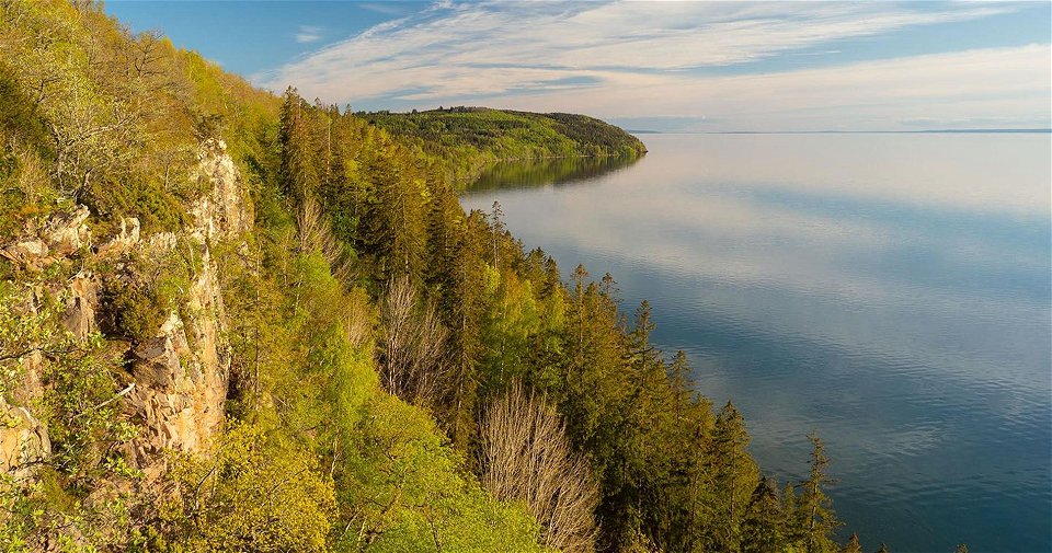
The hike north then goes partly along Lake Vättern’s mile-long escarpment through Omberg Ecopark. Traces of glaciation mark the landscape, and the stage is partly hilly and rocky. A one-way road can be chosen as an easier alternative for a while.
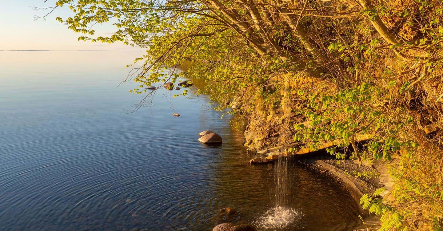
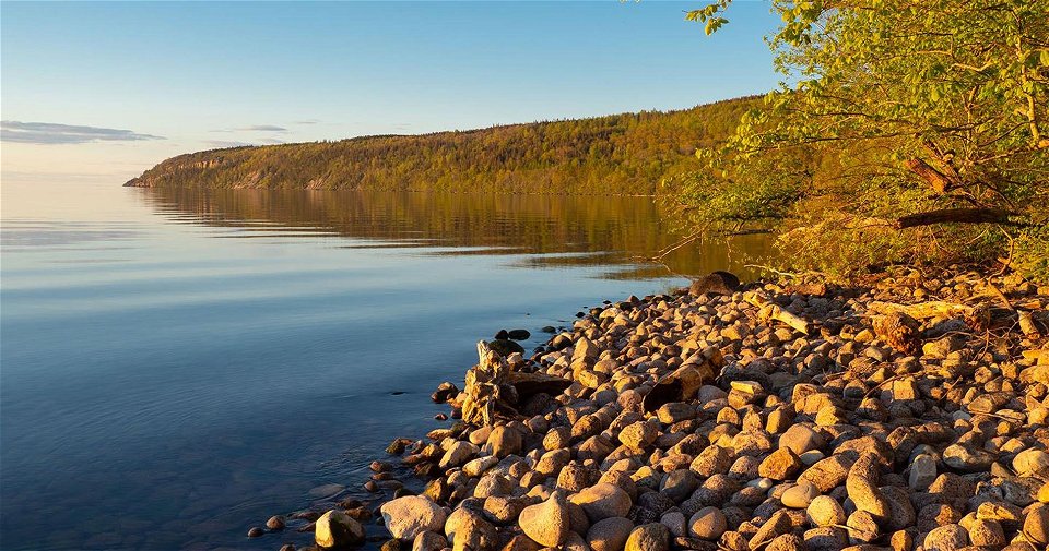
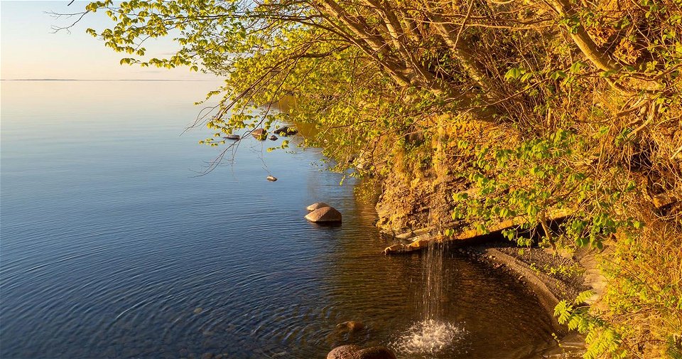
In several places you can make a detour through the ravines down to the shore of the lake. The Älvarum headland offers a shelter, barbecue area, bench and toilet. Here you can also cool off in the lake.
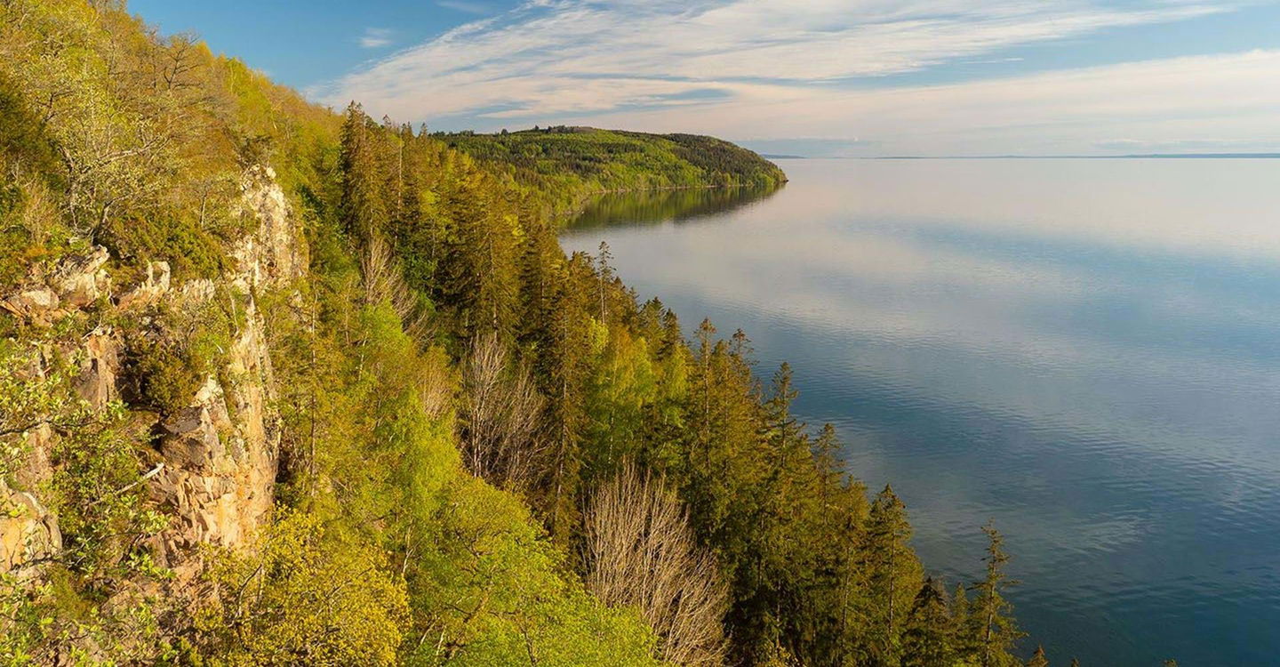
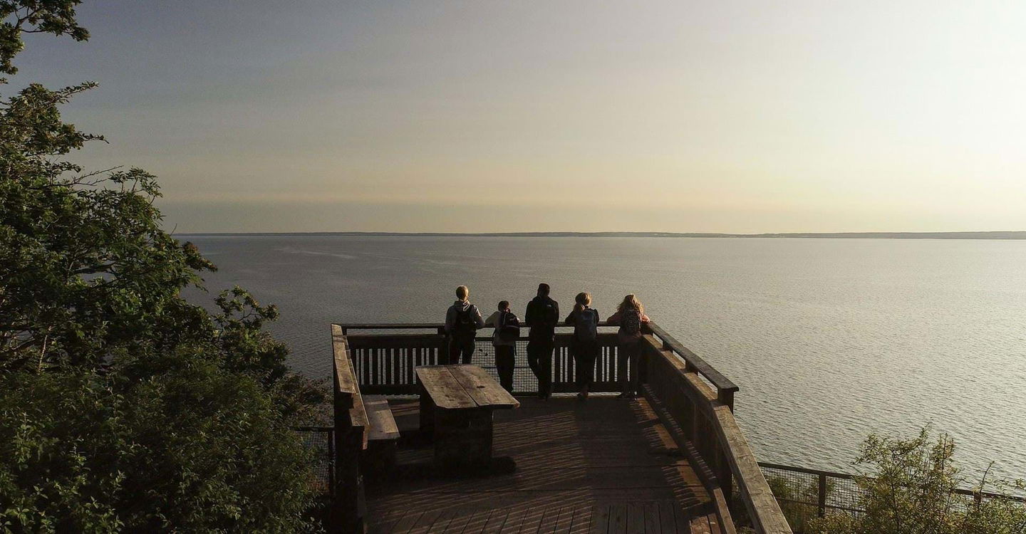
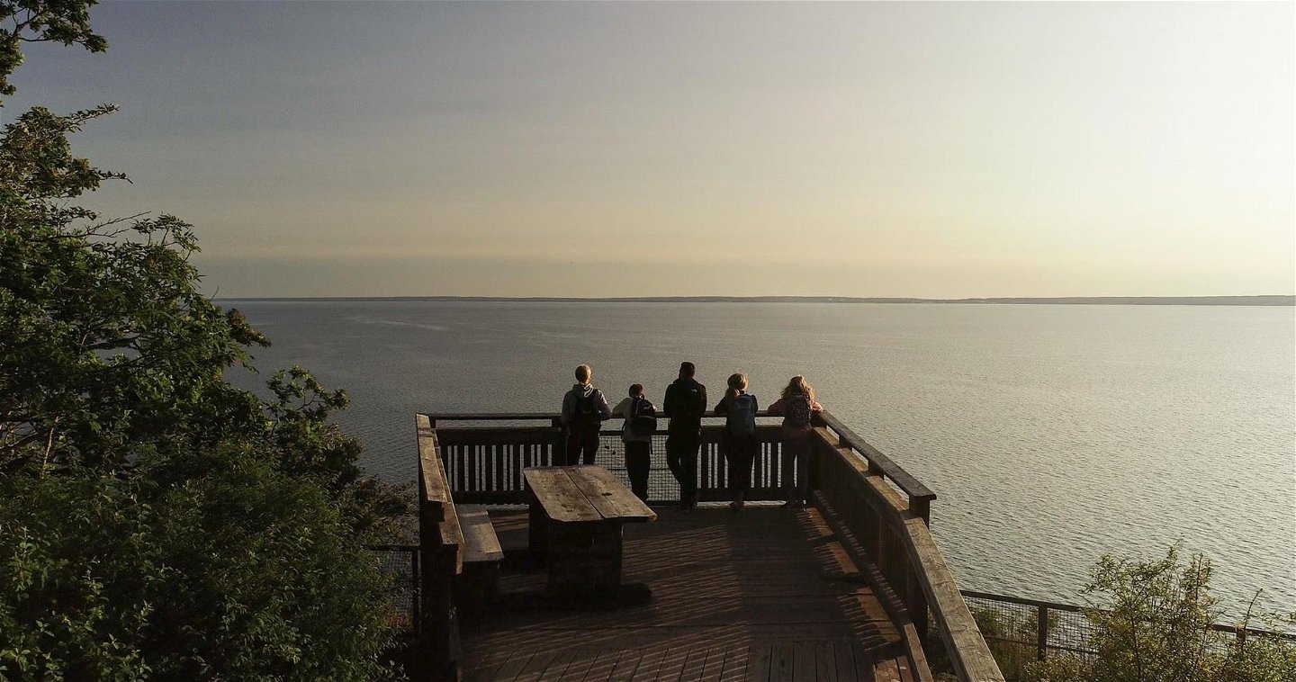
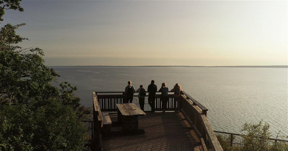
The trail then continues through beech forests, past impressive giant oaks to Västra Väggar (Western Walls), where the view over Lake Vättern is magnificent. Here there is a rest area with a viewing platform.
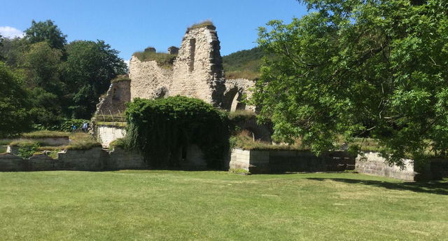
Queen Omma’s ancient castle completes the stage just before the final destination at Borghamn. Bring your own drink and food on the hike.
(2022-08-31/eb)
Hiking
Kontakt Östgötaleden
![]()
Houd er rekening mee dat sommige teksten automatisch zijn vertaald.
Stel een vraag aan andere Naturkartan gebruikers.