Tillgänglighetsanpassad led, Fysingen
Hiking
- Regio: Stockholms län
- 6804.22 km van u vandaan
Pad details
- Lengte 1.0 km
- Moeilijkheidsgraad Blauw - medium
Acties
Omschrijving
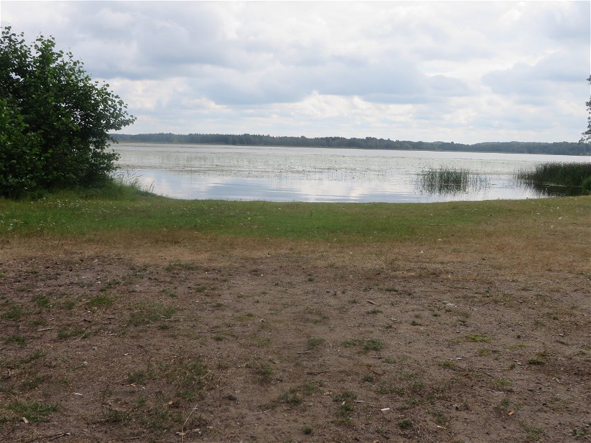
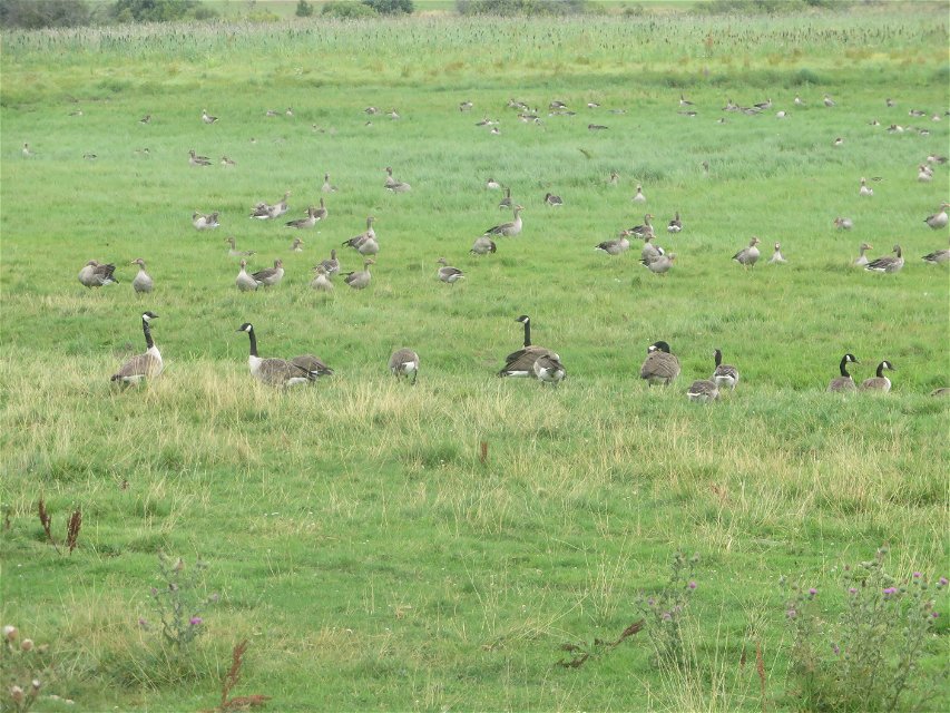
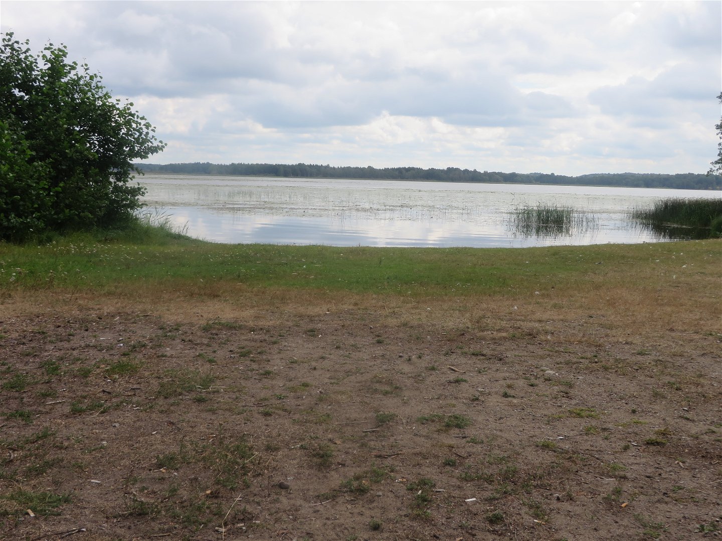
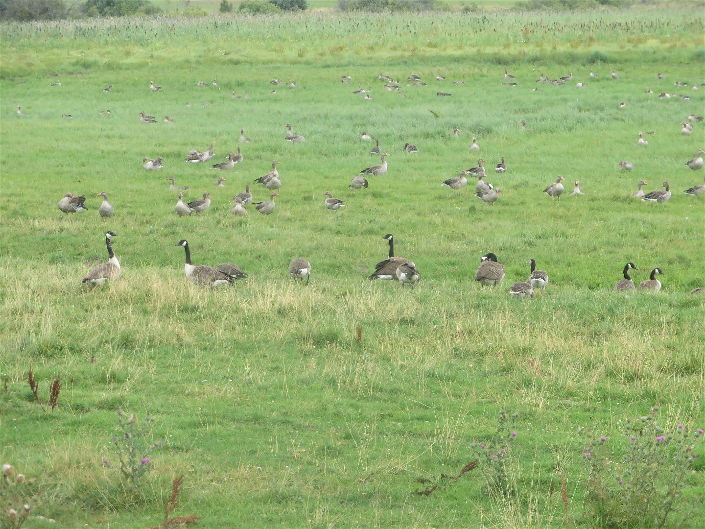
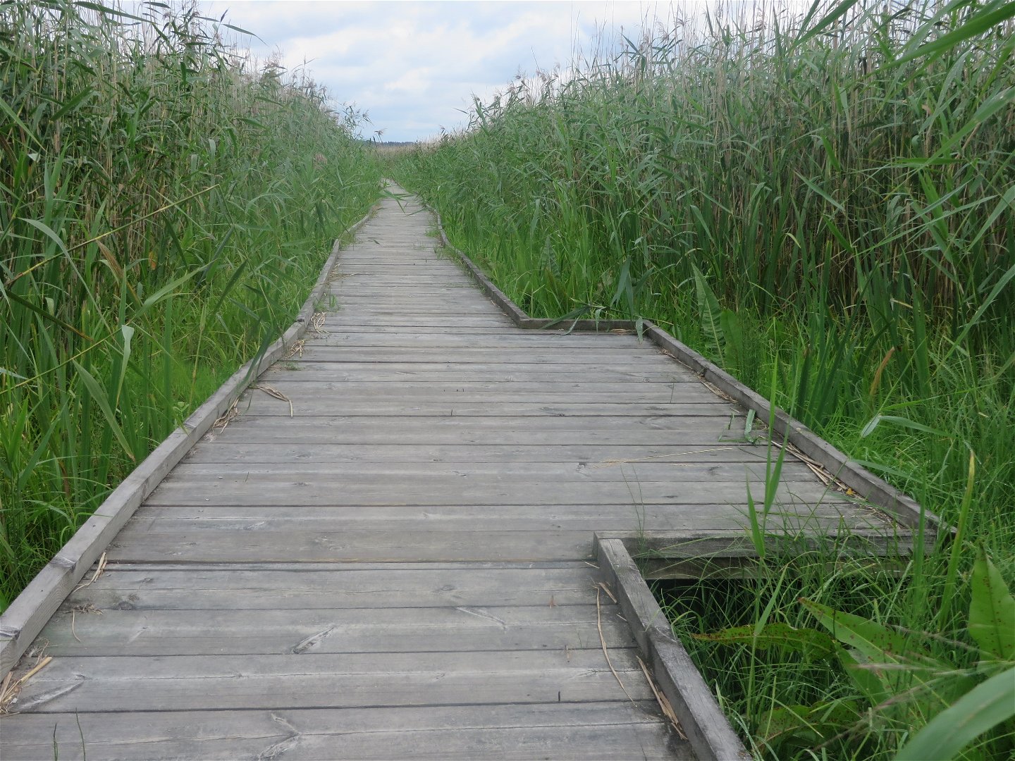
The trail along the west side of Lake Fysingen is wheelchair accessible. This area is a real treasure for birders or those simply looking for a delightful stroll. The trail starts at the parking lot by the reserve's southern entrance (Åholmen) and offers a variety of natural landscapes along the water and beach meadows.
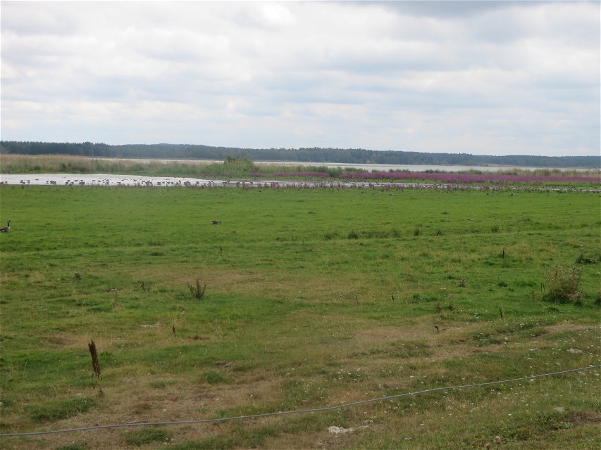
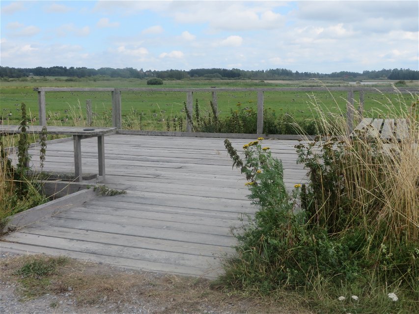
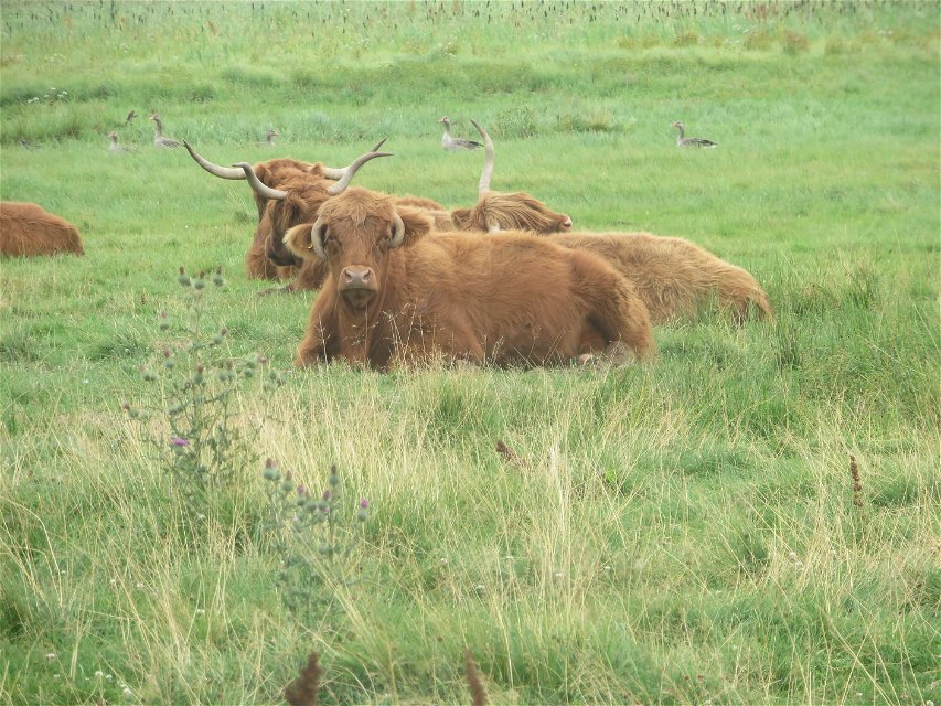
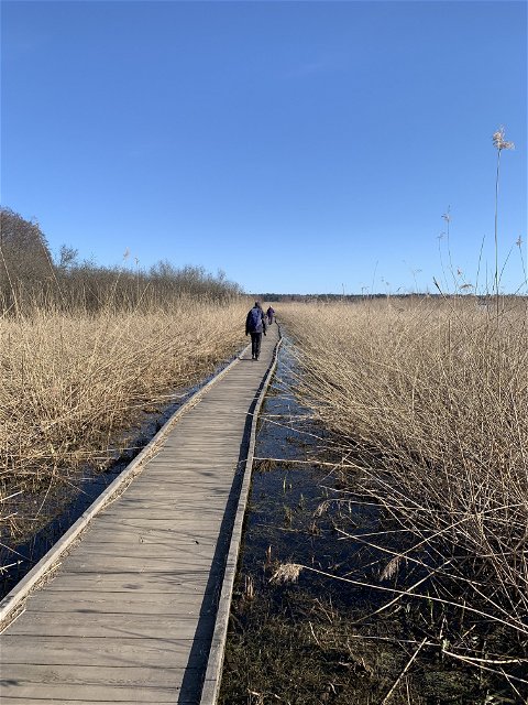
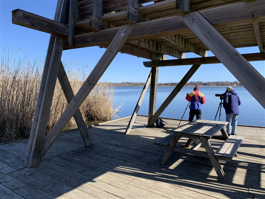
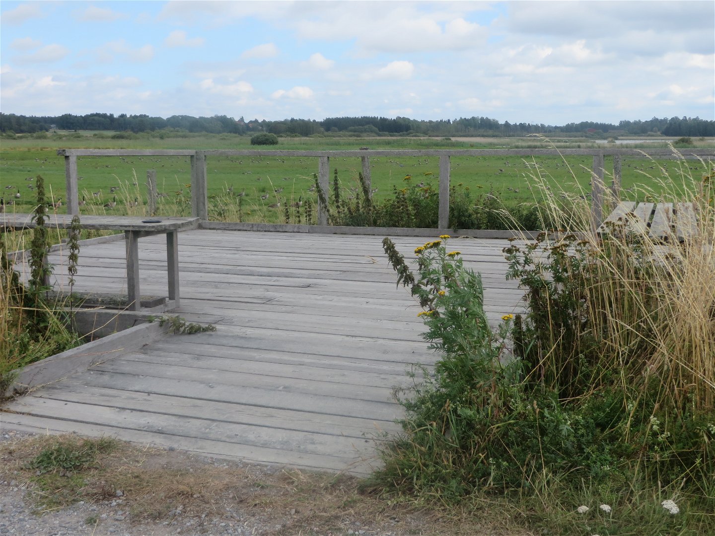
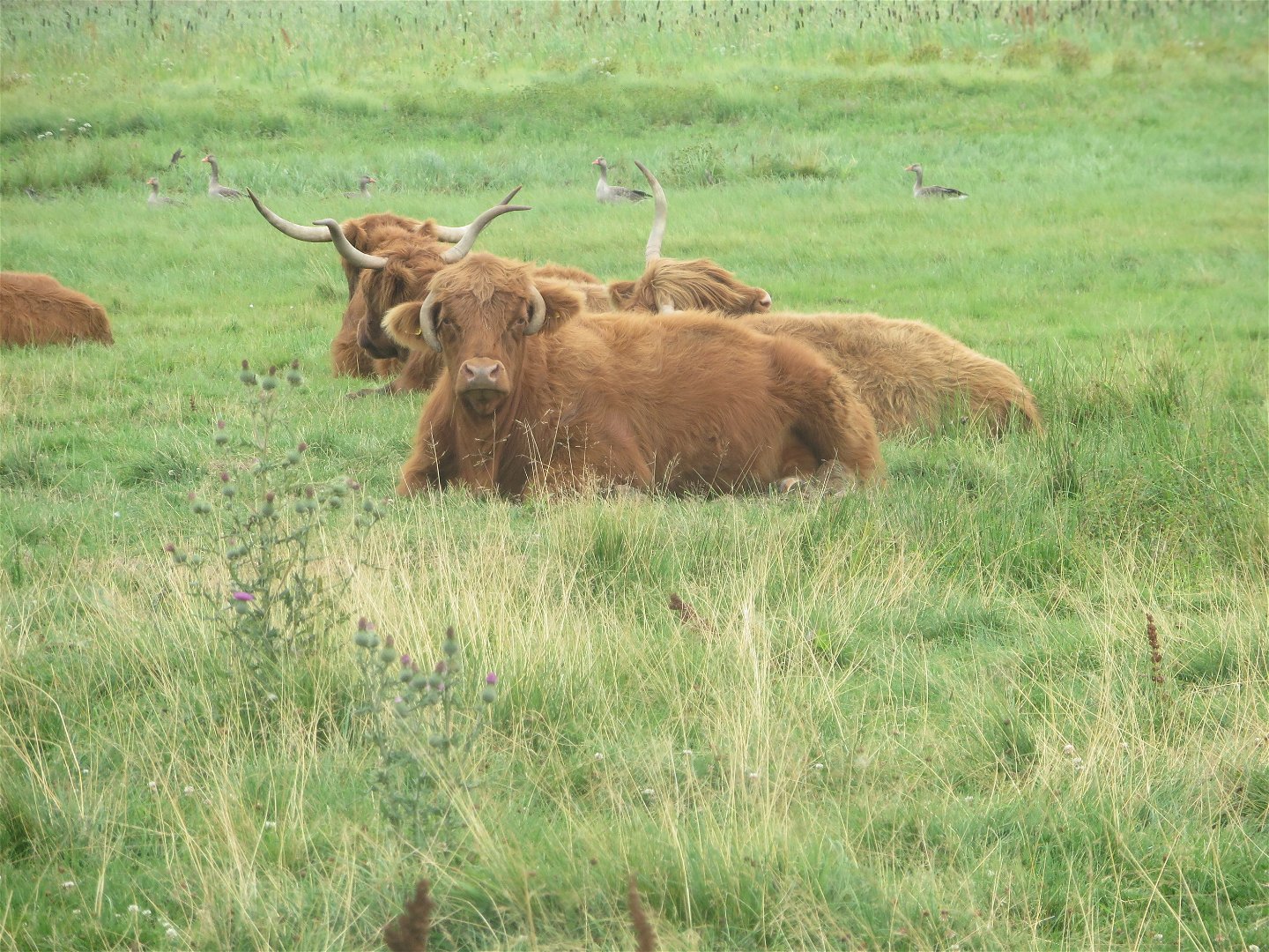
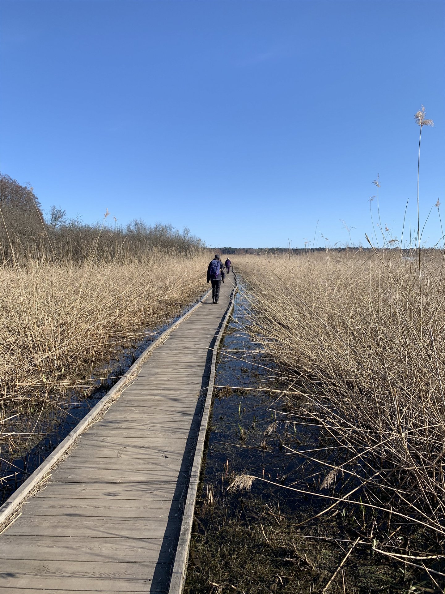
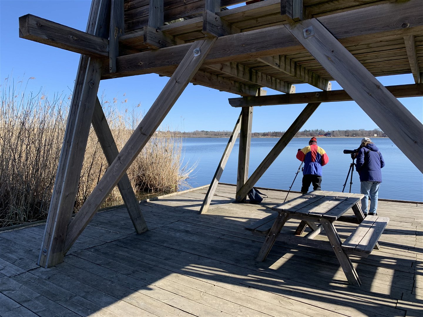
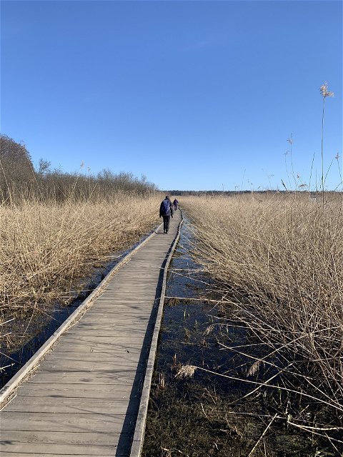
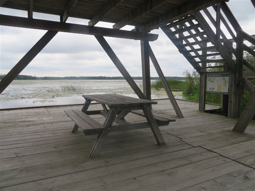
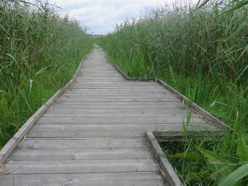
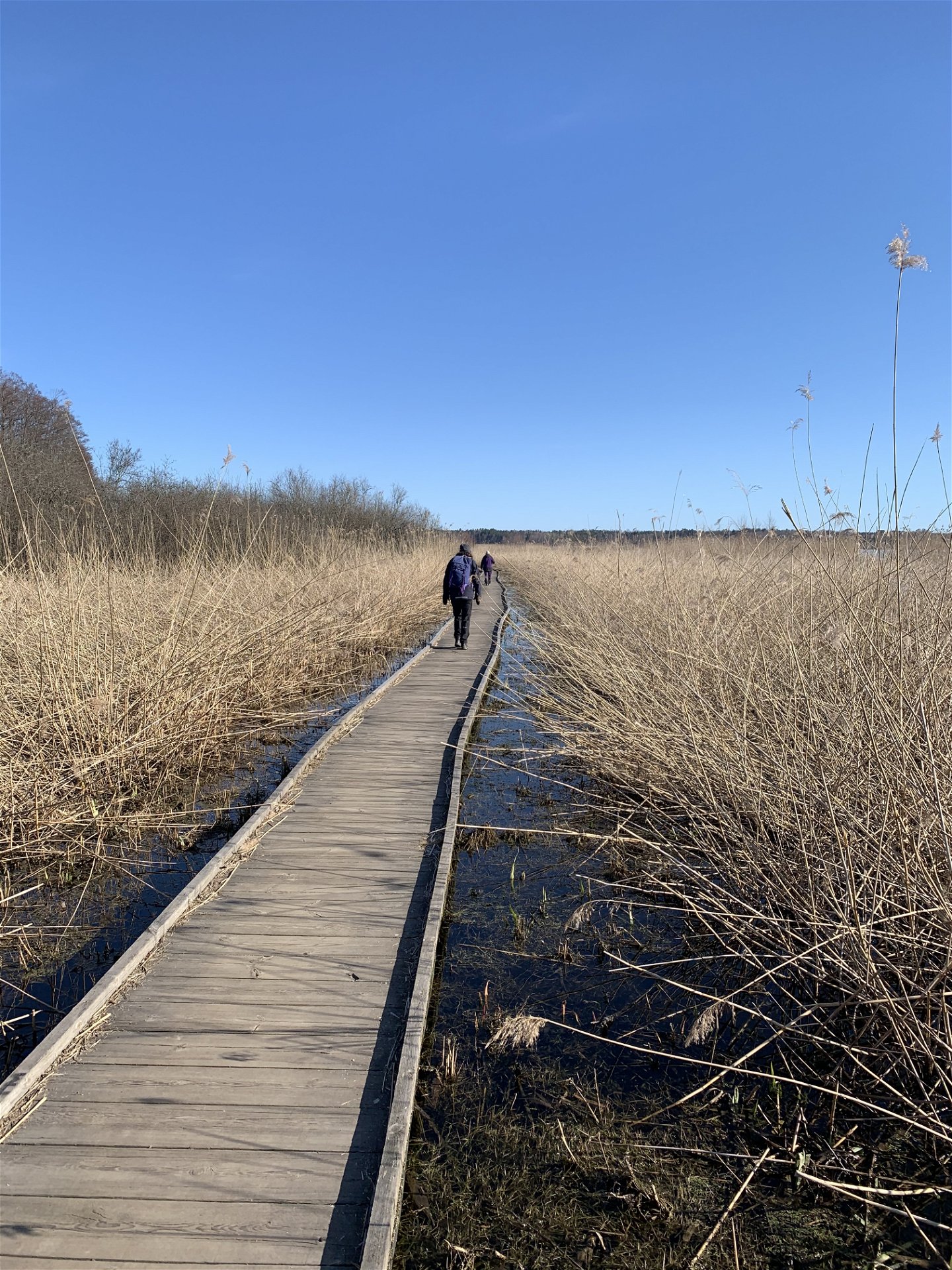
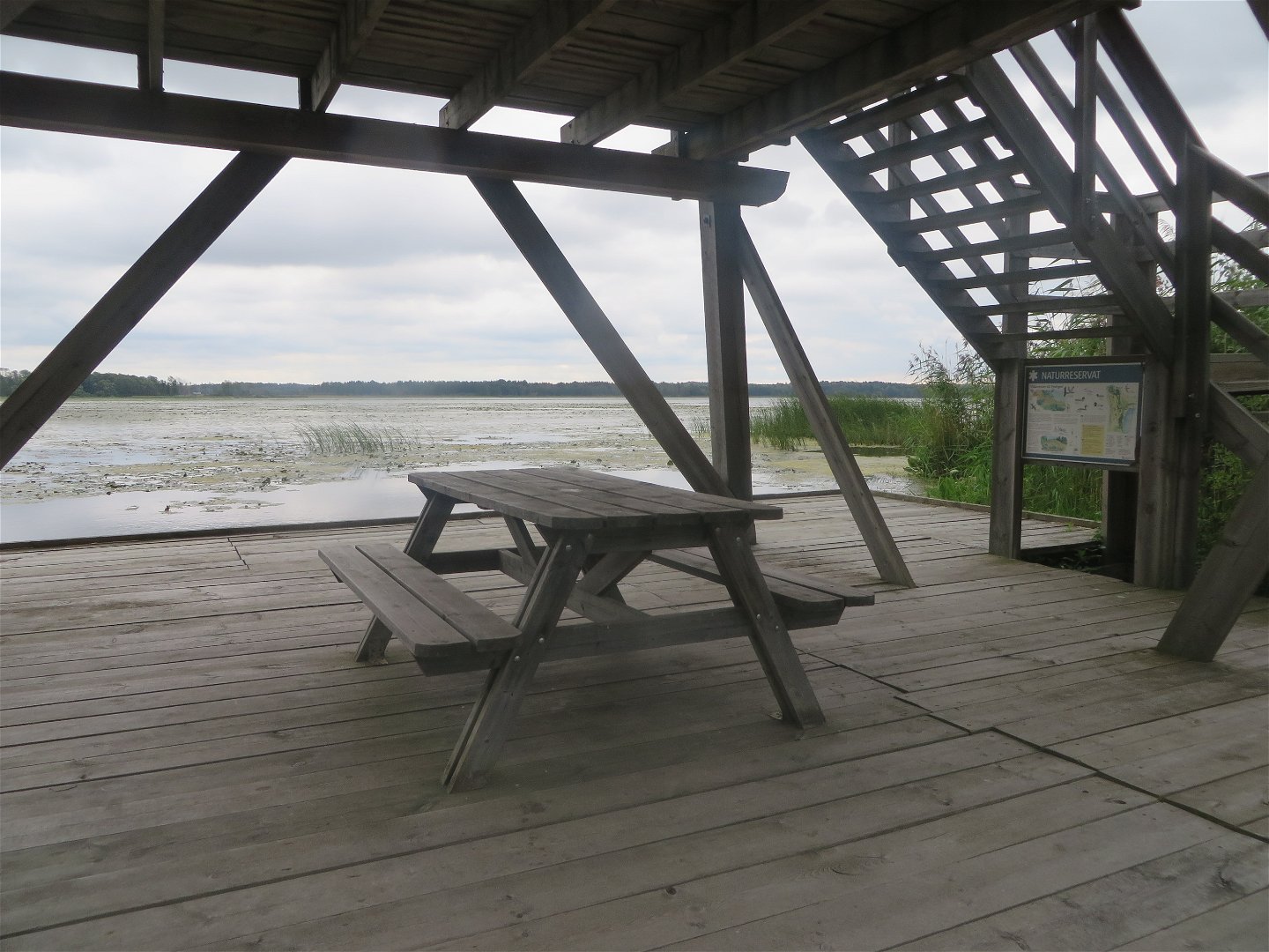
The trail itself is hard-surfaced. As it goes through the wetlands, it follows a wide wooden walkway. This trail passes a bird observation tower and the bottom floor of the tower is wheelchair-accessible. There are multiple lookout points along the trail, with views of the beach meadows and water buffaloes that graze in the summertime. The wheelchair-accessible trail ends at Ströms gård farm.
There is a toilet at the parking lot at Åholmen that is accessible for manual wheelchairs, but not for electric wheelchairs or mobility scooters.
Activiteiten en faciliteiten
-
Hiking
-
Wandelen
Toegankelijkheid
-
Nabij parkeerplaats
-
Dichtbij toilet
-
Kinderwagen toegankelijk
-
Rolstoel toegankelijk
Getest met een rolstoel
Feiten
Protected since: 1984
Size: 184 hectares of which land 134 hectares
Character: lake, wetland, agricultural landscape and cultural environment
Municipality: Sigtuna
Landowners: state and private
Administrator: County Administrative Board
Form of protection : nature reserve
Oppervlakte
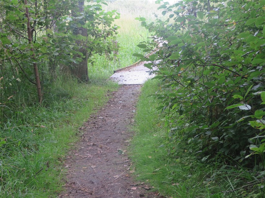
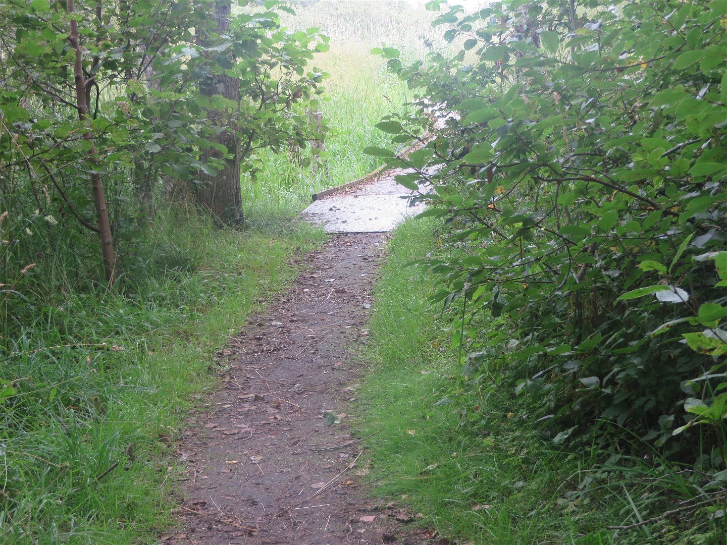
From the parking lot down to the footbridge it is about 100 meters and there is hard gravel. Then you go on a footbridge along the lake and there are boards. From the waterworks to Ström farm, the gravel is initially quite loose, but when you get up the hill it gets better.
Heuvels
There is a fairly long and steep uphill climb at the waterworks, if you come from Åholmen.
Parkeren
Parkering finns vid Åholmen och vid Ströms gård .
Communicatie
Pendeltågstation Rosersberg, från stationen är det lite mer än 3 km till Åholmen eller Ström där promenaden börjar. Bussen stannar några hundra meter från Ströms gård. För mer info, gå in på SL:s hemsida. Vid stationen finns en stor parkering, efter parkeringen följer man cykelvägen som går utmed Rosersbergsvägen bort.
Routebeschrijving
** By car **: From the E4, take exit 179 at Rosersberg traffic junction towards Norrsundavägen road. Take Norrsundavägen road north towards Åholmen. At the roundabout, take the first exit. This will take you across the bridge over the E4. You are now on the Åholmen road, continue south for 1.2 km until you see the nature reserve parking lot.
** By public transit: ** The nearest bus stop is Rosersbergs villastad. For information and timetables, see [sl.se] (http://sl.se/en). From the Rosersberg commuter rail station, walk about 3 km to the trailhead at either Åholmen or Ström. The bus stops a few hundred meters from Ström.
** By bike: ** Take the commuter rail to Rosersberg station. From the large parking lot, follow the bike path that goes along Rosersbergsvägen road. After a few kilometres, you'll reach Norrsundavägen road. Turn left and then directly to the right. There is no bike lane here so you'll need to cycle along the edge of the road and watch out for of cars.
Regelingen
In order to protect the Fysingen nature reserve, please respect the following rules.
Within the reserve, it is forbidden to:
- destroy or damage permanent natural structures or surfaces by digging, drilling, cutting, blasting, carving, painting or similar,
- disturb wildlife (e.g. by climbing nesting trees, trapping or deliberately killing wild animals).
- bring dogs that are not on a leash,
- operate motorised vehicles outside of designated roads,
- park outside of designated parking areas,
- enter the bird protection area ("fågelskyddsområde" in Swedish) from April 1 - July 15.
Contact
E-mailadres
Länsstyrelsen i Stockholm
Organisatie-logotype

Houd er rekening mee dat sommige teksten automatisch zijn vertaald.
Vragen en antwoorden
Stel een vraag aan andere Naturkartan gebruikers.

