Vandringsstig till utsiktsplats, Slessberget
Hiking
- Regio: Stockholms län
- 6837.66 km van u vandaan
Pad details
- Lengte 0.6 km
Acties
Omschrijving
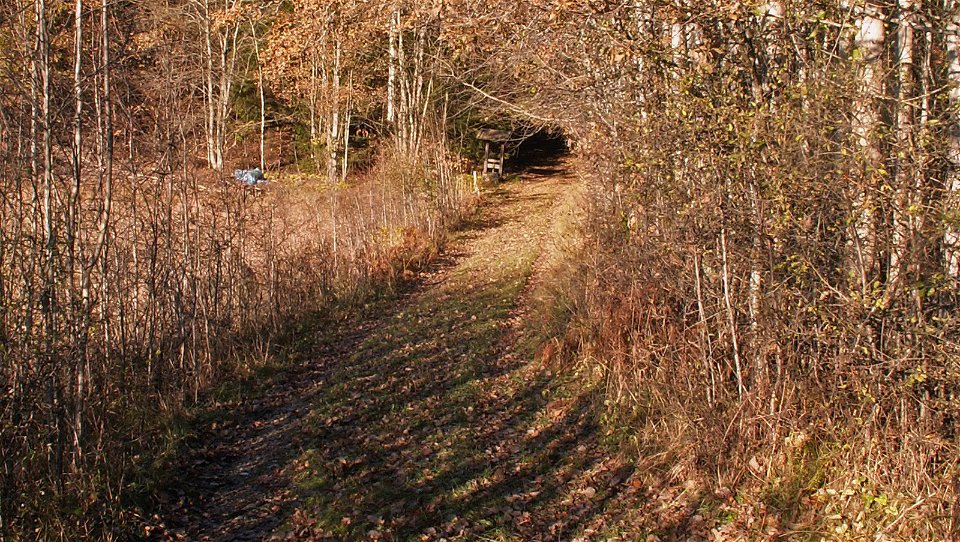
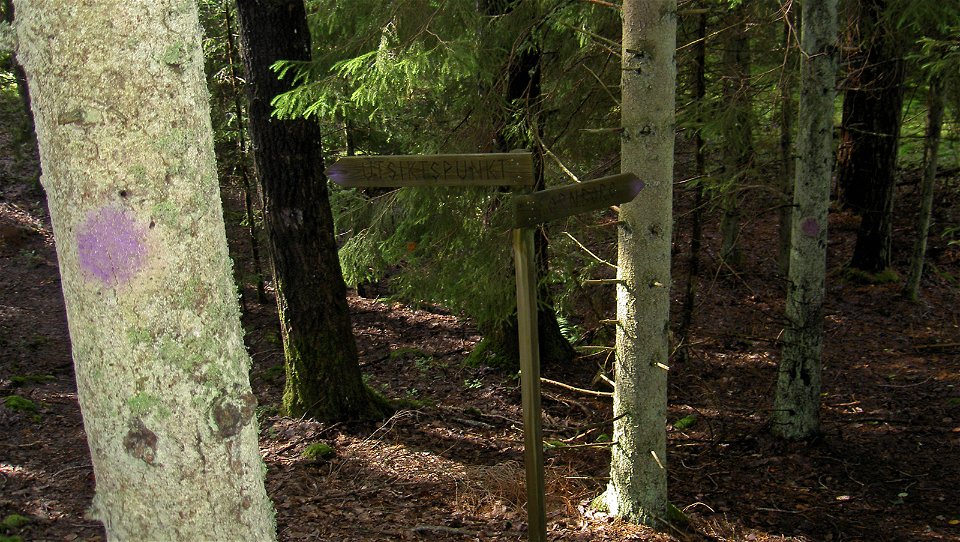
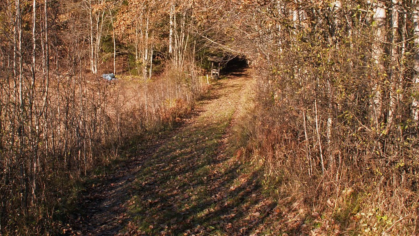
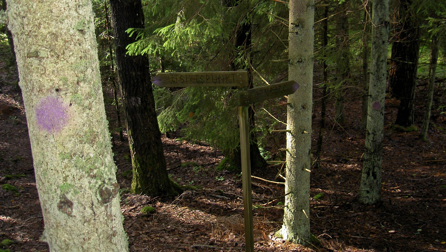
The reserve is not so large, but signs and markers make it easy to find your way around. A small forest path takes you directly out to the ancient hillfort and the lookout point.
Activiteiten en faciliteiten
-
Hiking
Routebeschrijving
The trail starts across the road from the Slessberget entrance and parking lot.
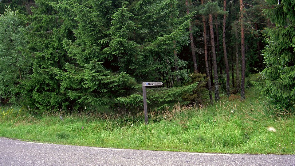
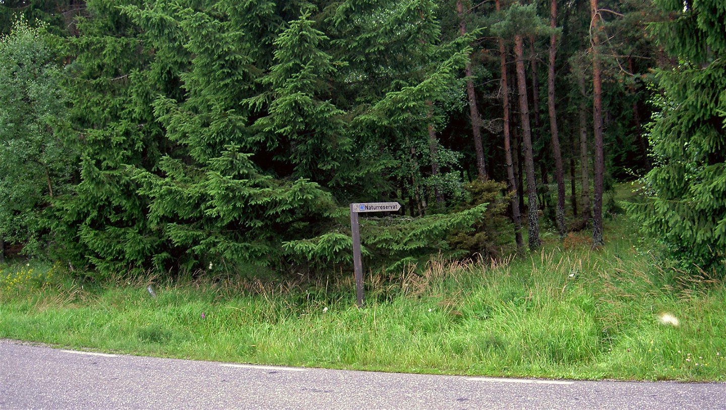
By car: Drive to Mörkö, turn south at Idala (signposted "Naturreservat") towards Eriksö.
By public transit: Take bus 784 from Södertälje centrum to the Idala bus stop, then walk 3 km south to Slessberget.
For current information about public transit, see: [sl.se] (http://sl.se/en)
Regelingen
In order to protect the Slessberget nature reserve, please respect the following rules.
Within the reserve, it is forbidden to:
- destroy or damage permanent natural structures or surfaces by drilling, cutting, blasting, carving, painting or similar,
- break branches, fell or in any other way damage living or dead trees or bushes or damage the vegetation in general by digging up shrubs, herbaceous plants, grasses, mosses or lichens,
- bring dogs, cats or other pets that are not on a leash,
- camp,
- hold orienteering competitions or similar,
- ride horses,
- operate motorised vehicles,
- make a fire.
Contact
E-mailadres
Länsstyrelsen i Stockholm
Organisatie-logotype

Vragen en antwoorden
Stel een vraag aan andere Naturkartan gebruikers.

