-

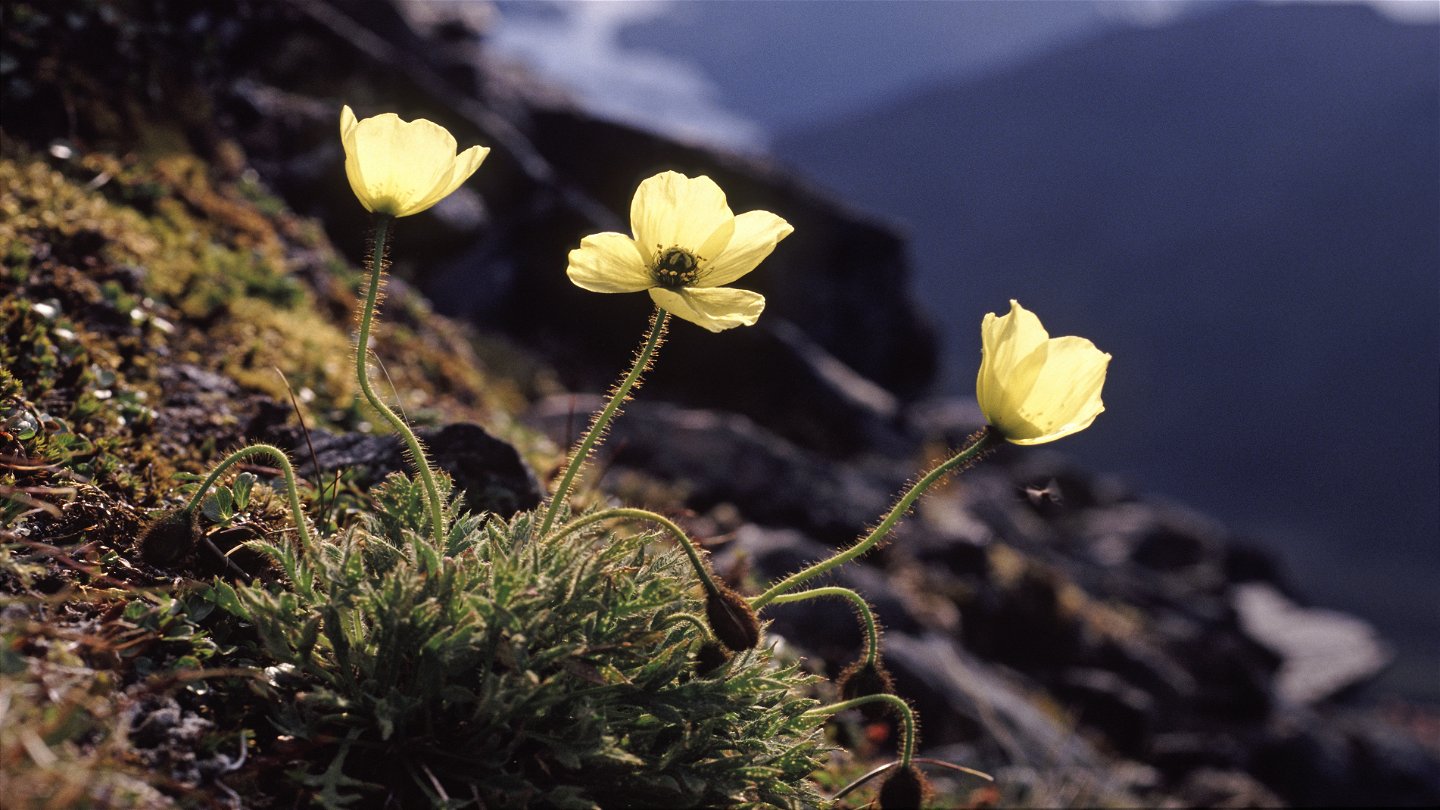
Laestadiusvallmo.
Foto: Tomas Utsi -

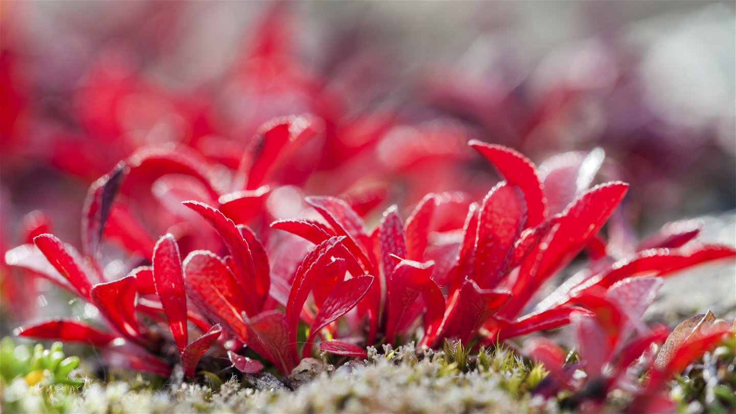
Ripbär.
Foto: Lars-Olof Johansson/Johnér

Pältsa-norska gränsen, Nordkalottleden
Hiking
- Regio: Troms og Finnmark
- 6402.85 km van u vandaan
Pad details
- Lengte 5.0 km
Acties
Omschrijving
This stretch of trail is relatively new, therefore the trail is still fairly indistinct. The trail markings are also faint, especially when hiking east from the national border. A few hundred metres from the Pältsa cabin the trail passes over a suspension bridge crossing Bealčánjohka stream. The trail then continues along easily-hiked sandy hills, slowly climbing towards the border. A quad bike trail can be seen along the slope of Juoksavátnjunni mountain, but the trail does not follow it. At the national border, a marked trail continues towards the cabin Rostahytta in Norway.
Duratuin: 2-2,5 hours
Activiteiten en faciliteiten
-
Hiking
Oppervlakte
Easily-hiked surface.
Contact
E-mailadres
Länsstyrelsen Norrbotten
Organisatie-logotype
![]()
Vragen en antwoorden
Stel een vraag aan andere Naturkartan gebruikers.
