-
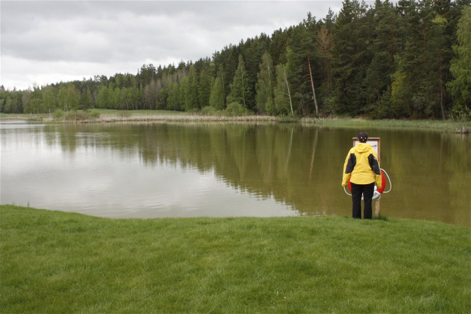
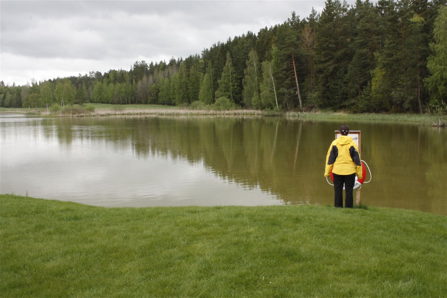
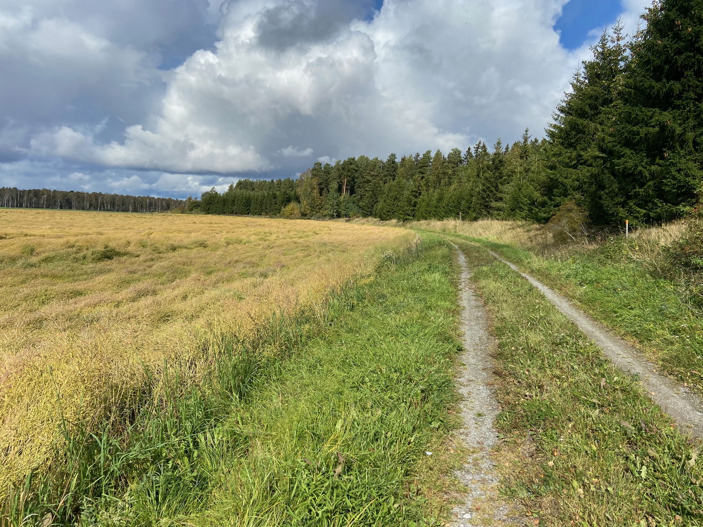
Äs puss vid Äsåsen. -

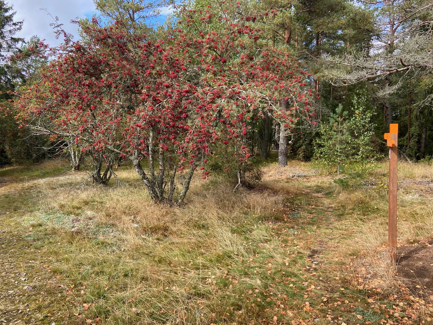
Stig på Äsåsen -

-

-
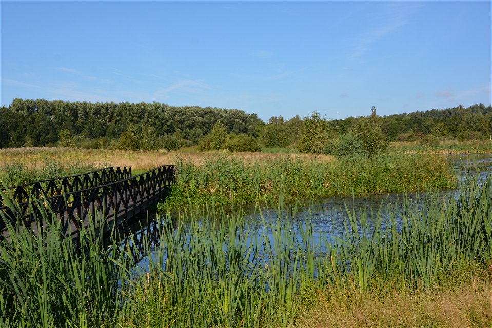
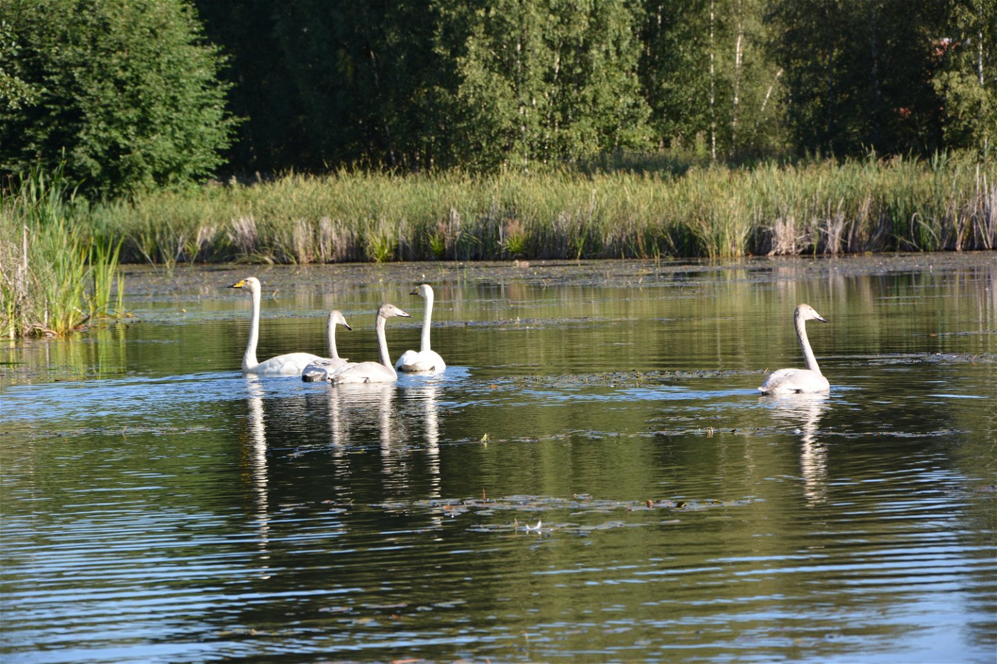
Vattenparken i Enköping.
Foto: Linda Littlewood -

Vattenparken i Enköping.
Foto: Linda Littlewood


Upplandsleden, etapp 24, Härnevi IP –Gånsta
Hiking
- Regio: Uppsala län
- 6765.92 km van u vandaan
Pad details
- Lengte 17.0 km
Acties
Omschrijving
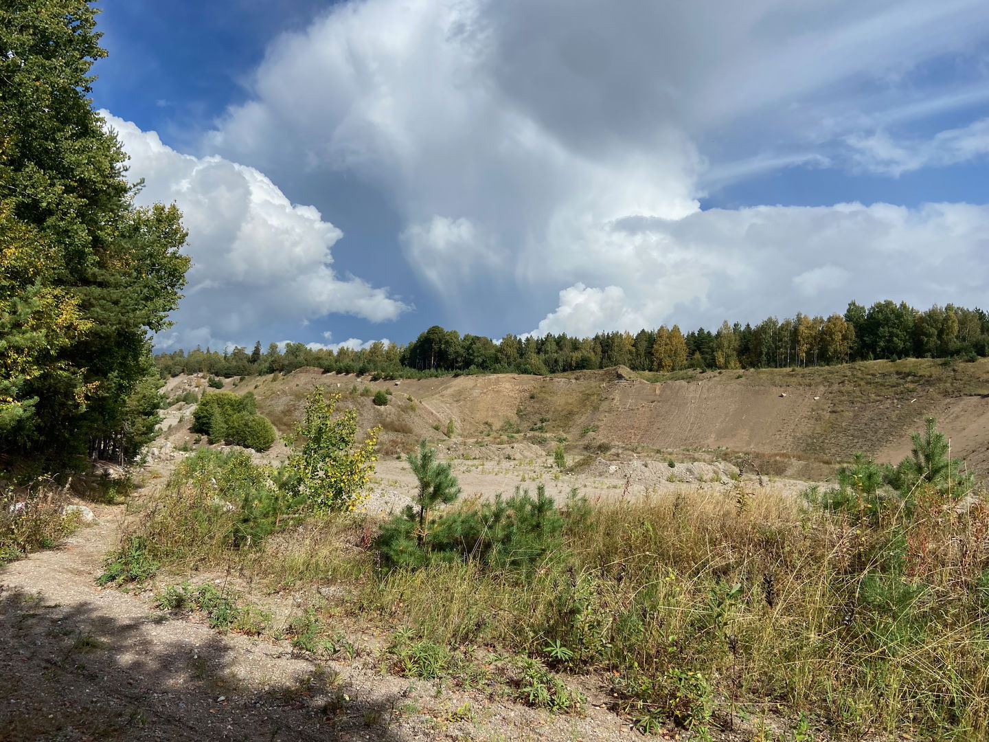
This easy-to-walk section goes through a flat and open agricultural landscape, and through the town of Enköping, known for its parks. You’ll start at Härnevi IP’s Sports ground north of Enköping, and finish at the Gånstagården Farm on the southern outskirts of the town. Along paths and forest roads, you’ll walk 4 kilometres before reaching the Äsåsen Ridge, where the Äs Puss Walk (24:1) connects. The hike continues southward along the ridge, past a gravel pit, through forests and fields. Just north of Enköping, a narrow pedestrian bridge takes you high above the E18 motorway. Soon thereafter, there is a detour to Enköping’s train station. You’ll walk a bit further through the forest, past the water tower, and find yourself in the eastern parts of Enköping. Before you reach the end point of the Section south of the Idrottshuset building, you’ll pass Enköping’s water park, a lovely recreation area rich in birds. Enköping has a train station, bus station, shops and restaurants.
Difficulty level: Easy, mostly small roads, through Enköping’s streets and pedestrian paths.
Activiteiten en faciliteiten
-
Hiking
Oppervlakte
Easy route, mostly along gravel and forest road.
Parkeren
Parking is available at both the start and finish.
Communicatie
No buses are available to the start. Train and bus stops in Enköping.
Routebeschrijving
To get to Härevi IP, take road 70 from Enköping towards Sala. Just north of Enköping, turn right towards Torstuna. Drive about 8 km and turn left towards Härnevi church. Just before the church, turn left and then right. Signs point towards Härnevi IP.
Gånsta is located on the southern outskirts of Enköping, along Boglösavägen.
Contact
E-mailadres
Upplandsstiftelsen
Organisatie-logotype
![]()
Houd er rekening mee dat sommige teksten automatisch zijn vertaald.
Vragen en antwoorden
Stel een vraag aan andere Naturkartan gebruikers.
