Upplandsleden, etapp 29, Bålsta-Häggeby
Hiking
- Regio: Uppsala län
- 6791.89 km van u vandaan
Pad details
- Lengte 13.5 km
Acties
Omschrijving
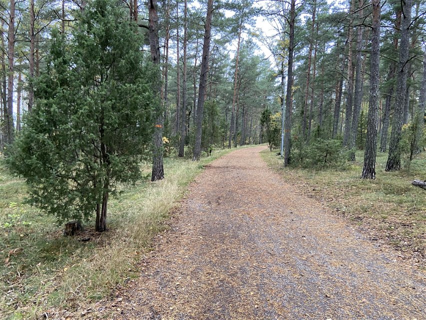
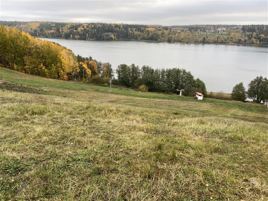
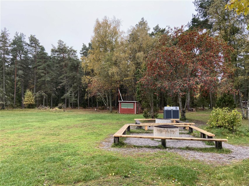
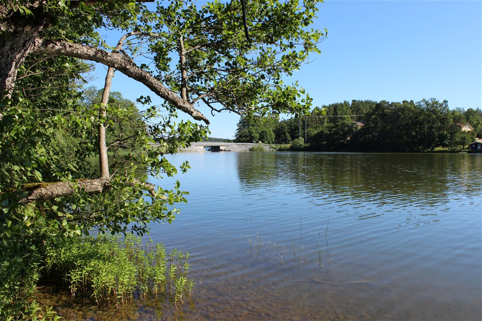
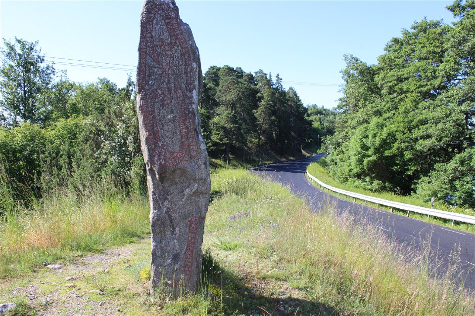
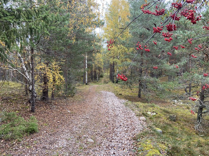
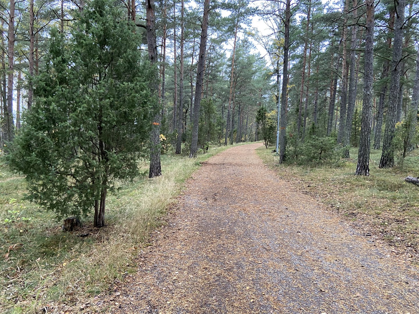
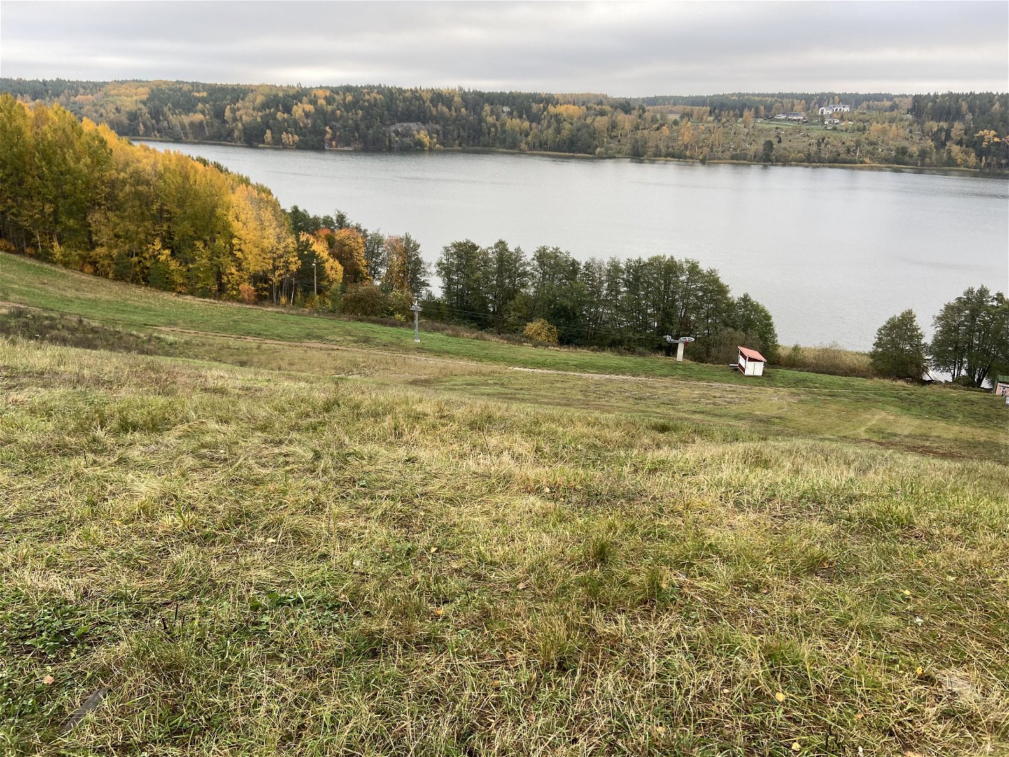
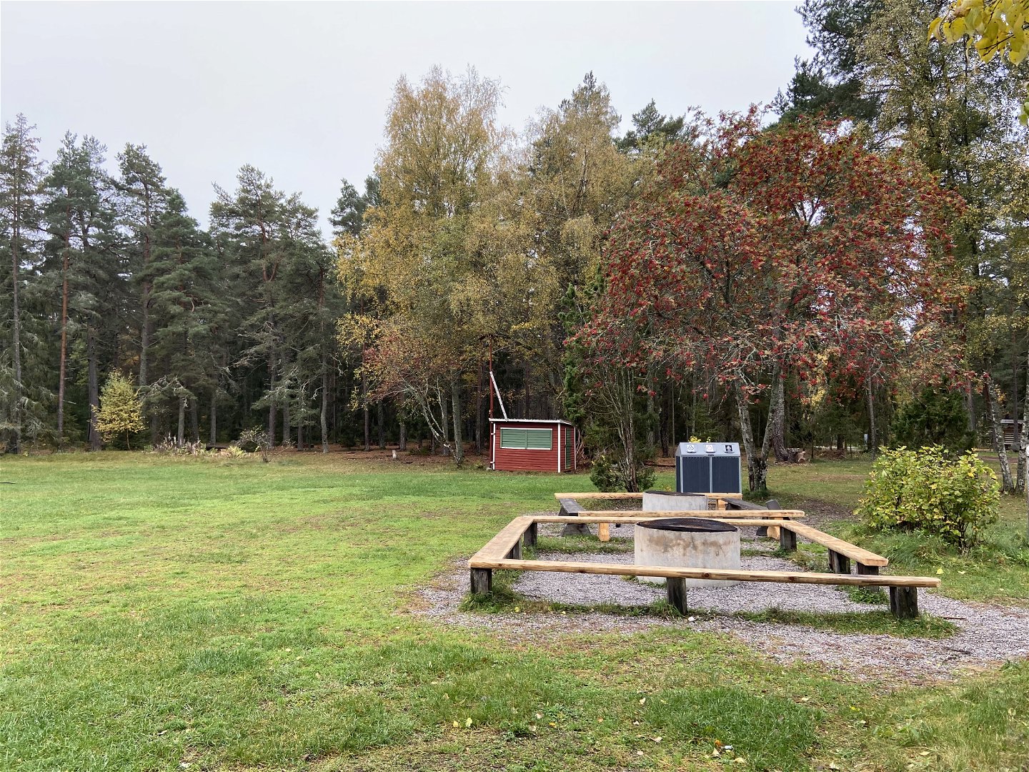
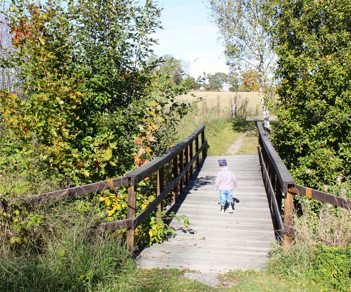
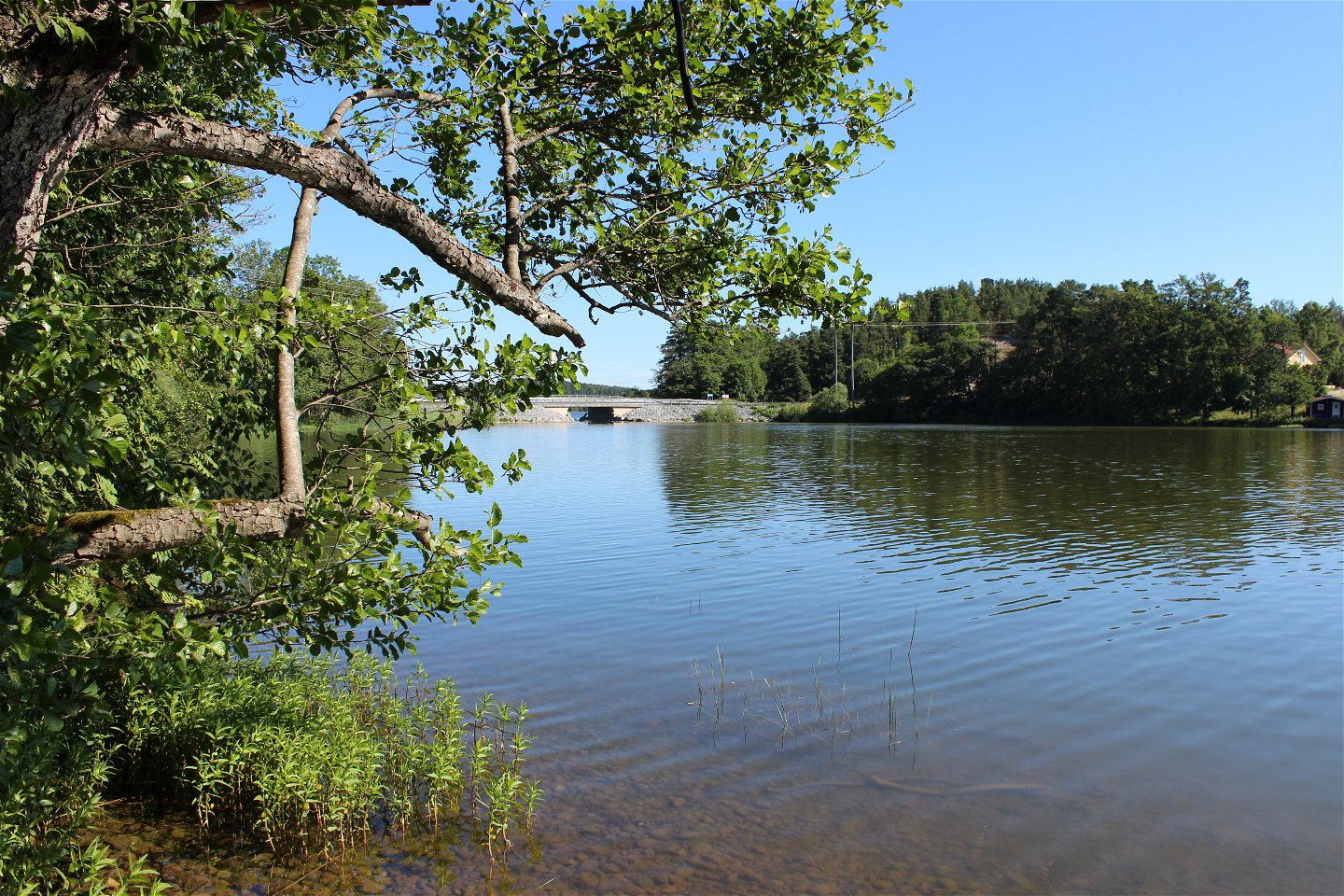
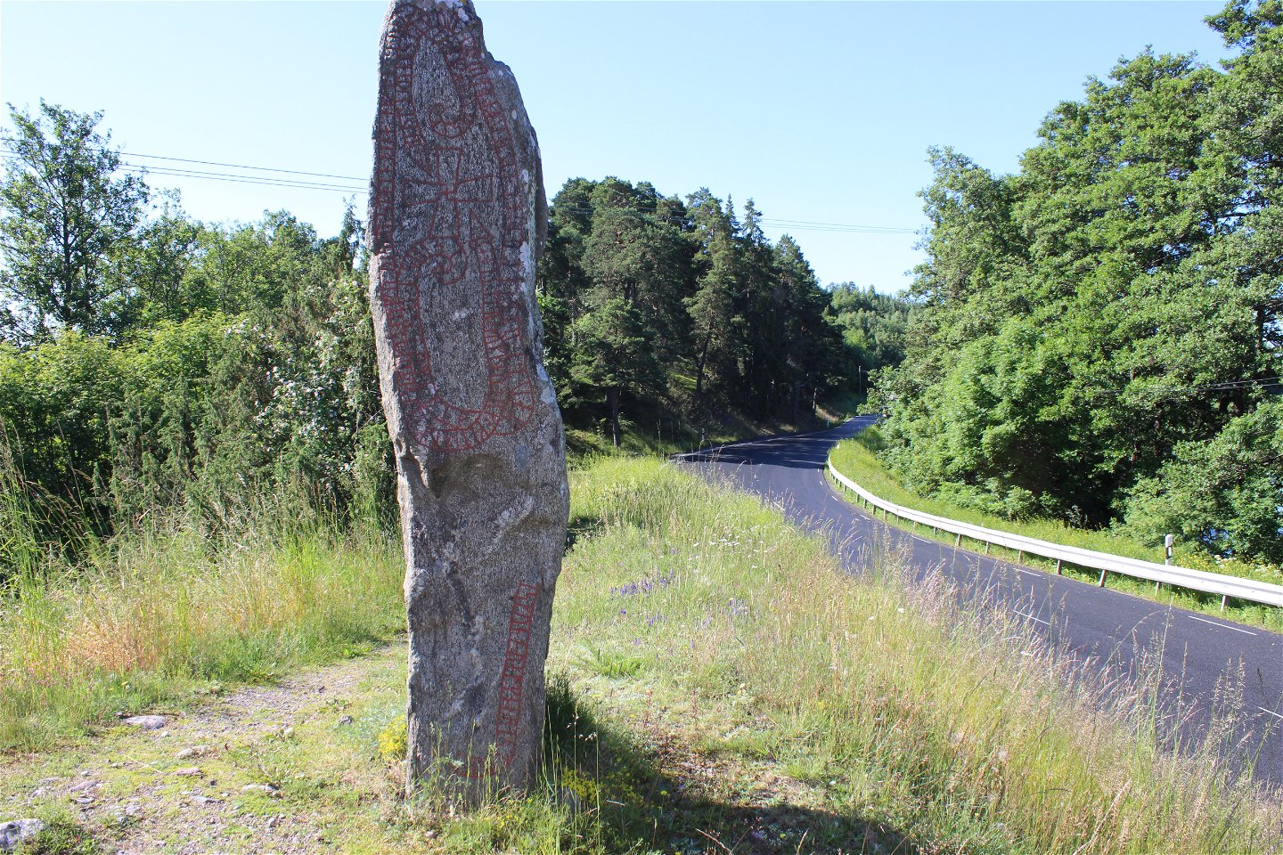
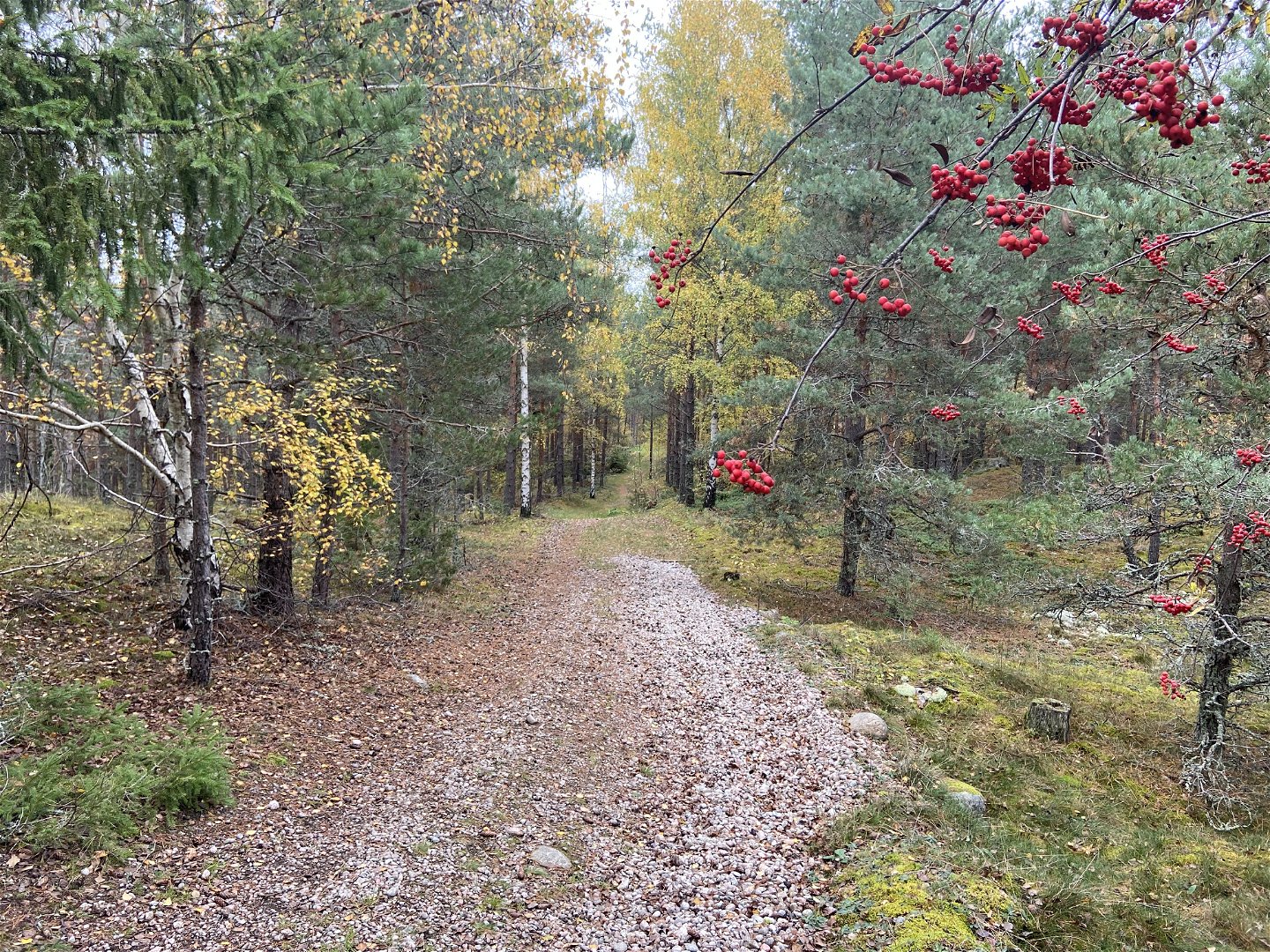
Section 29 is the beginning of the shortest part of The Uppland Trail. The varied section with a few height variations takes you from Bålsta station to Häggeby Church on the Skohalvön Peninsula. A pedestrian road and then a road take you from the station above the E18 motorway towards nature reserve Granåsen by Lake Lilla Ullfjärden. At the top of the Granåsen Ridge is rest spot Kvarnkojan in a glade. After a few kilometres along forest paths/exercise trails and gravel cycle paths, you’ll reach nature reserve Ekillaåsen. There are several rest spots and places to go swimming here. With Ekillaåsen behind you, you’ll walk past a gravel pit and along the edge of a field. Follow the lines of trees into the forest, and continue along the water to Varpsund with its famous rune stone. Out on the Skohalvön Peninsula, a steep ascent up to the Rölundaåsen Ridge awaits, rewarding you with a grand view. The last section before the end of the section is on a gravel road.
Difficulty level: Easy, except the ascent up to the Rölundaåsen Ridge. Exercise trails, roads and paths.
Activiteiten en faciliteiten
-
Hiking
Toegankelijkheid
-
Nabij openbaar vervoer
Oppervlakte
Footpaths, paths, gravel roads
Parkeren
Parking is available at the train station in Bålsta and at Häggeby church.
Communicatie
Bålsta has a bus station and a train station. You can get here by SL train from Stockholm, SJ train or UL bus. For bus/train numbers and timetables, go to:
Routebeschrijving
The stage starts at the northern parking lot at the train station in Bålsta.
The end of the stage is at Häggeby church. To get here, take road 263 and turn off towards Skokloster. After 300 meters turn left towards Häggeby church.
Contact
E-mailadres
Upplandsstiftelsen
Organisatie-logotype

Houd er rekening mee dat sommige teksten automatisch zijn vertaald.
Vragen en antwoorden
Stel een vraag aan andere Naturkartan gebruikers.

