
-
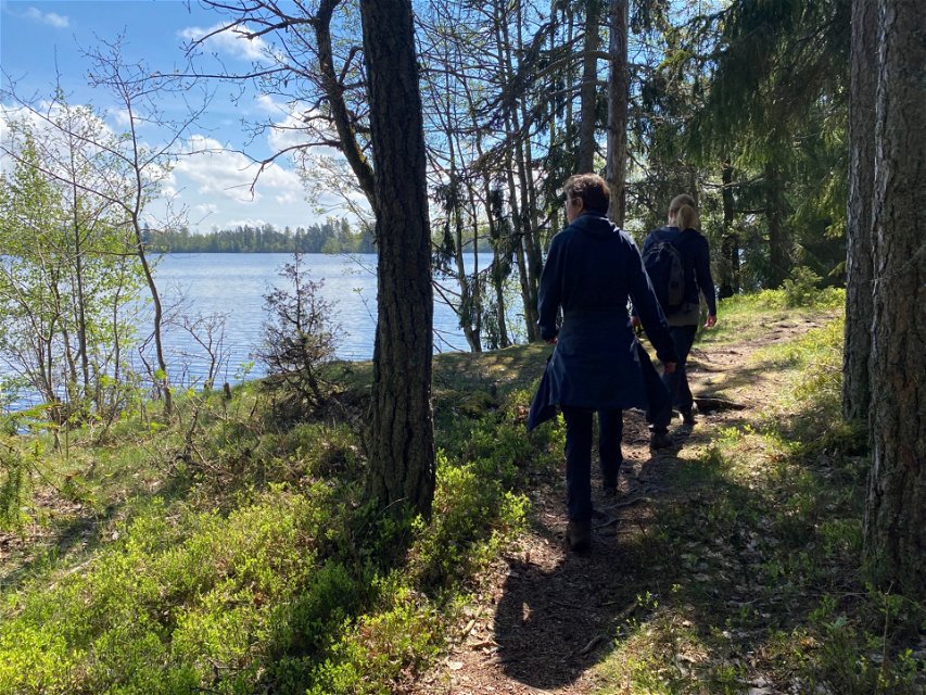
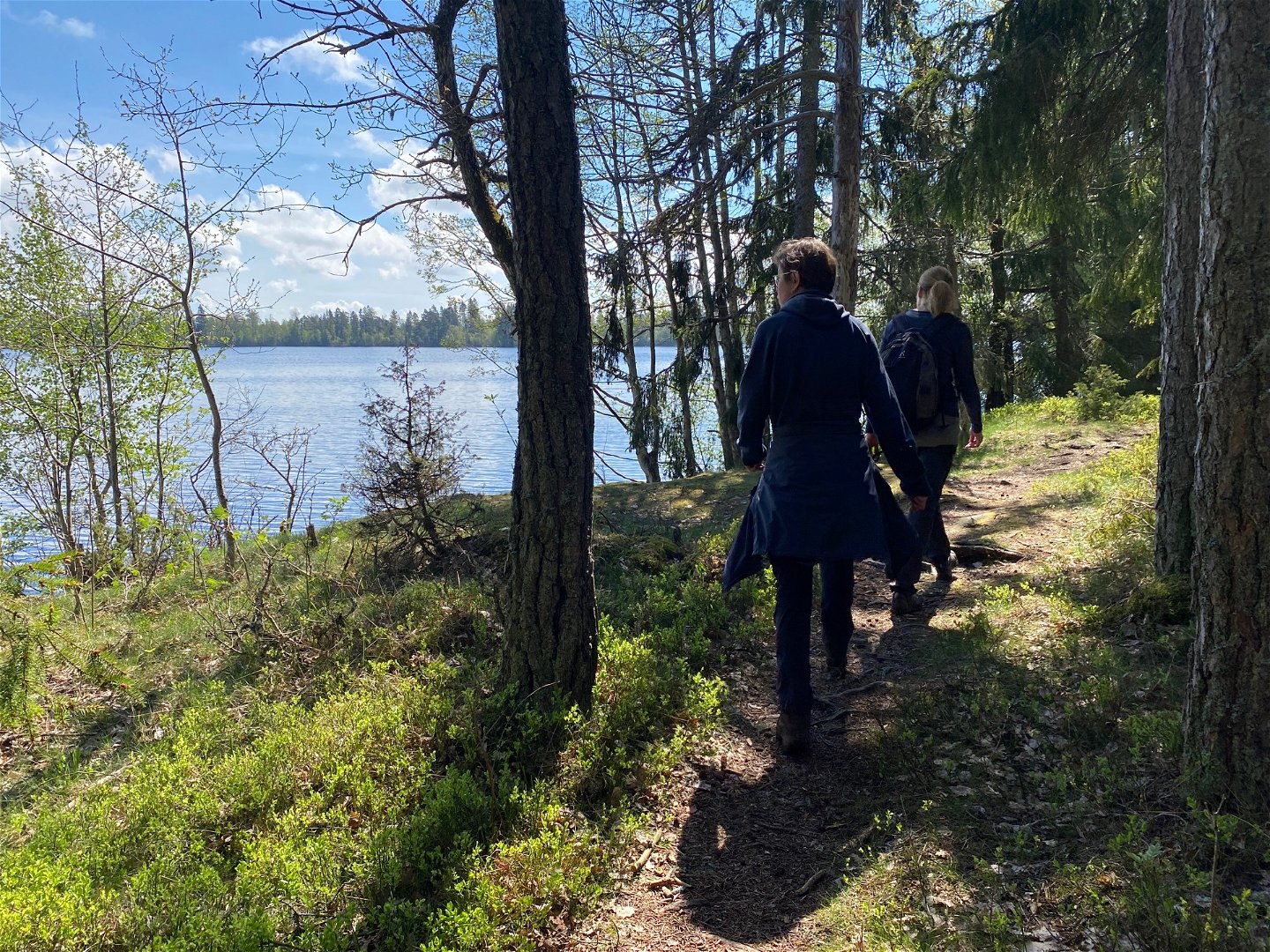
Vandring utmed Stordammen -

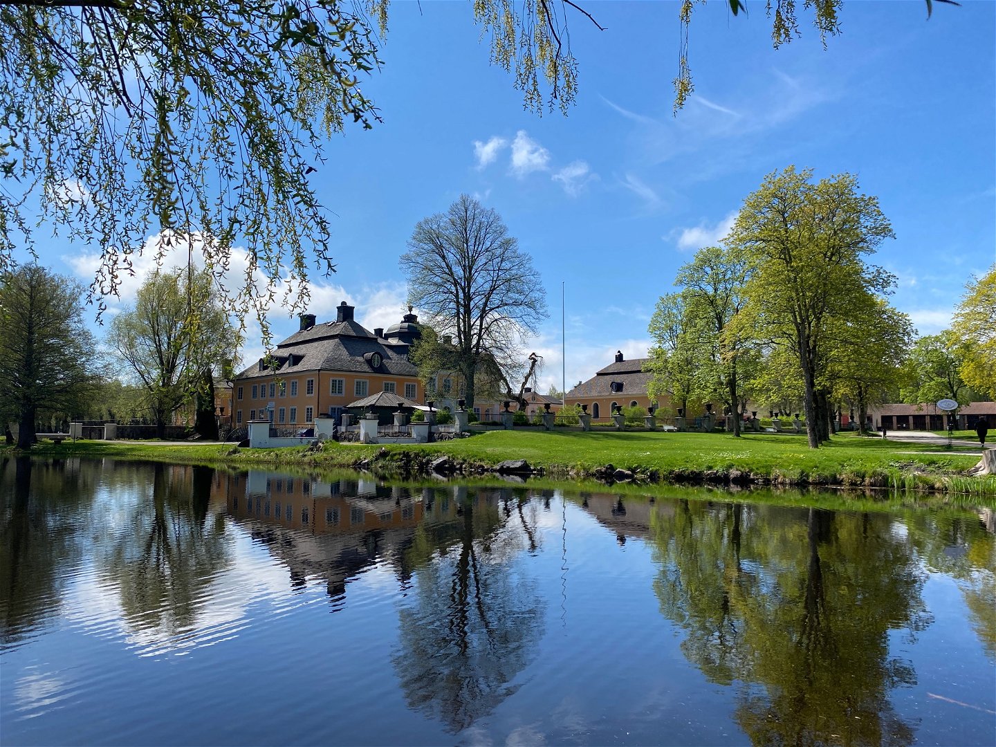
Österbybruks Herrgård -

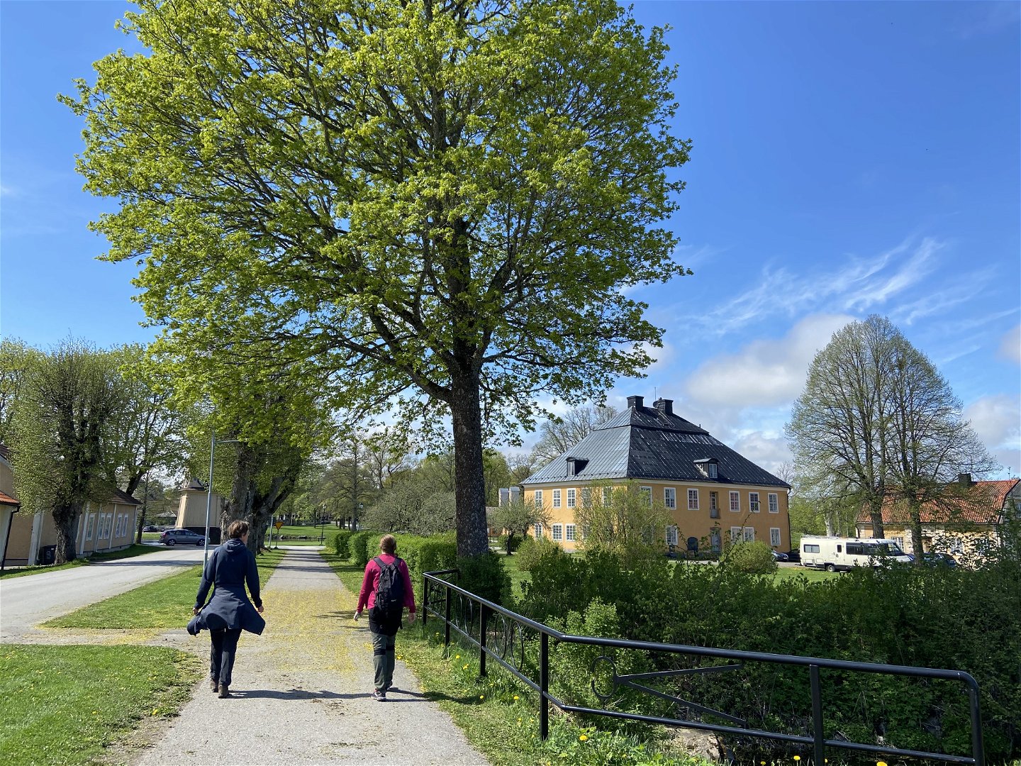
Vandring genom bruksområdet -

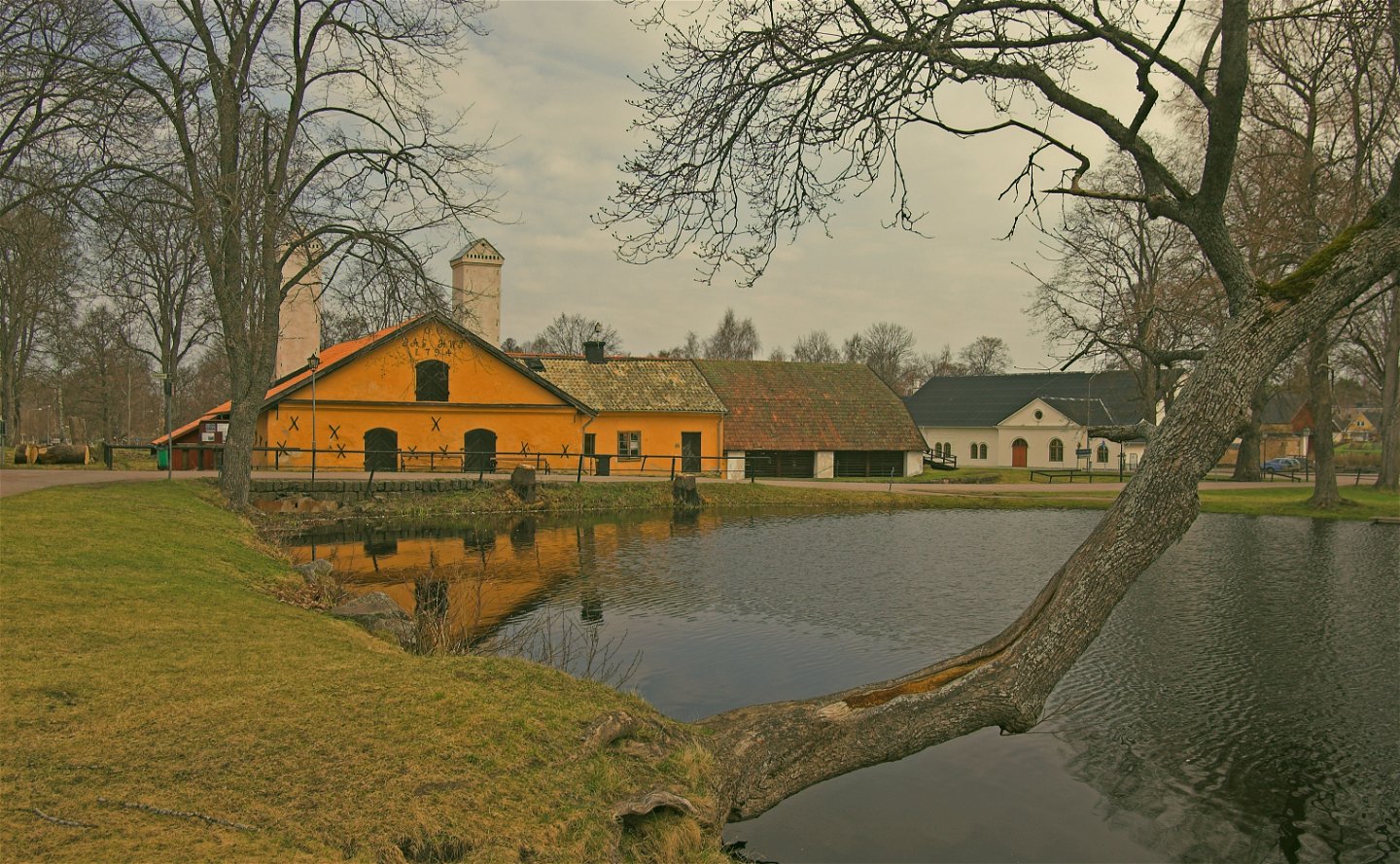
Vallonsmedjan i Österbybruk

Upplandsleden, slinga 12:1, Österbybrukslingan
Hiking
- Regio: Uppsala län
- 6778.95 km van u vandaan
Pad details
- Lengte 6.0 km
Acties
Omschrijving
This walk takes you around parts of Ӧsterbybruk and its surroundings, offering both cultural history, services and nature. The start and end of the section is by the bus terminal in the middle of Ӧsterbybruk. The trail goes northward through the residential areas of the town. Where the houses end, the walk continues on easy-to-walk forest paths. The way back is on roads along Lake Stordammen, past the campsite and the beach of Ӧsterbybruk.
Ӧsterbybruk is the oldest mill in Uppland, and home to the world’s only Walloon smithy that is completely preserved. Take your time and stroll around for a look at the manor and the mill buildings.
Difficulty level: Easy, forest paths and roads.
Activiteiten en faciliteiten
-
Hiking
-
 Rond pad
Toegankelijkheid
-
 Nabij parkeerplaats
-
 Nabij openbaar vervoer
Oppervlakte
Forest trails, gravel roads and paved roads. Some trails can be wet during parts of the year, so wear sturdy boots.
Parkeren
Parking is available at the bus station in Österbybruk where the trail starts.
Communicatie
The loop starts and ends next to Österbybruk bus station. For timetables see www.ul.se
Routebeschrijving
The loop starts at the bus station in the middle of Österbybruk.
Contact
E-mailadres
Upplandsstiftelsen
Organisatie-logotype
![]()
Houd er rekening mee dat sommige teksten automatisch zijn vertaald.
Vragen en antwoorden
Stel een vraag aan andere Naturkartan gebruikers.
Beoordelingen
Misschien bent u ook geïnteresseerd in
