Gravåsleden
Hiking
- Regio: Värmlands län
- 6725.04 km van u vandaan
Pad details
- Lengte 17.0 km
- Moeilijkheidsgraad Blauw - medium
Acties
Omschrijving
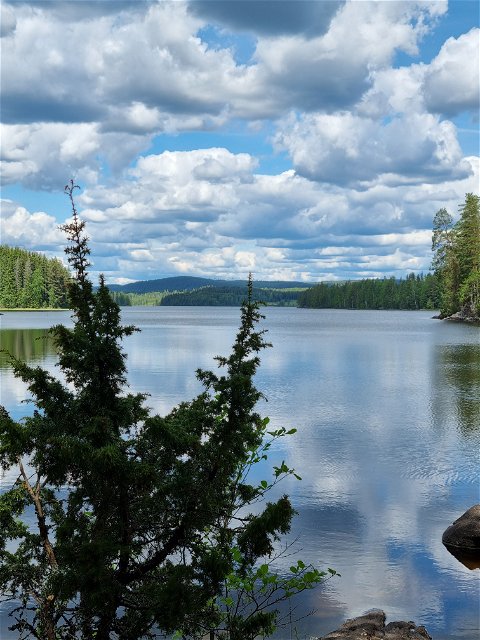
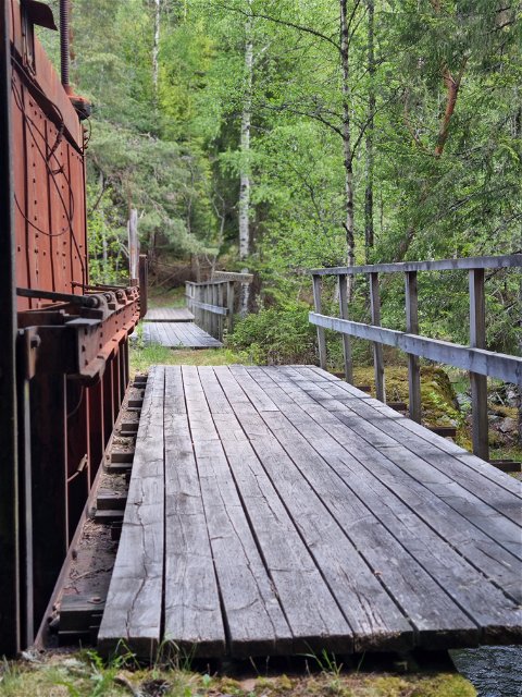
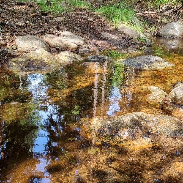
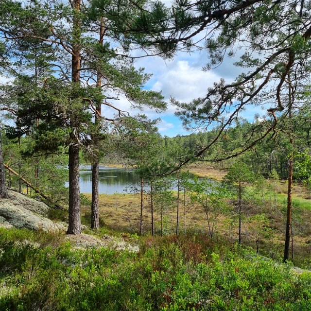
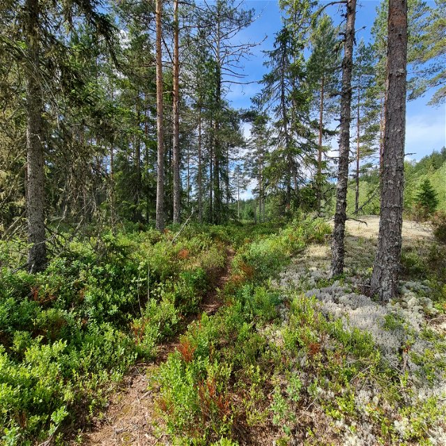
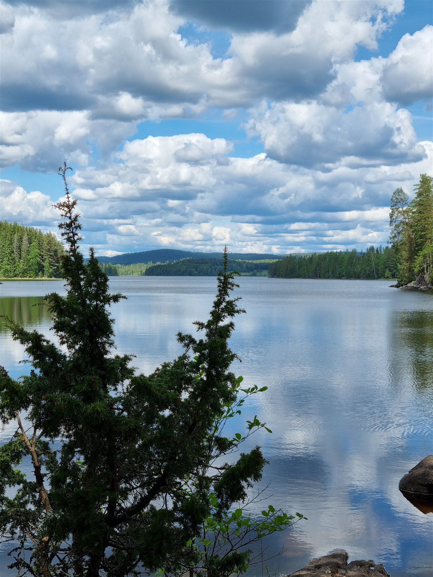
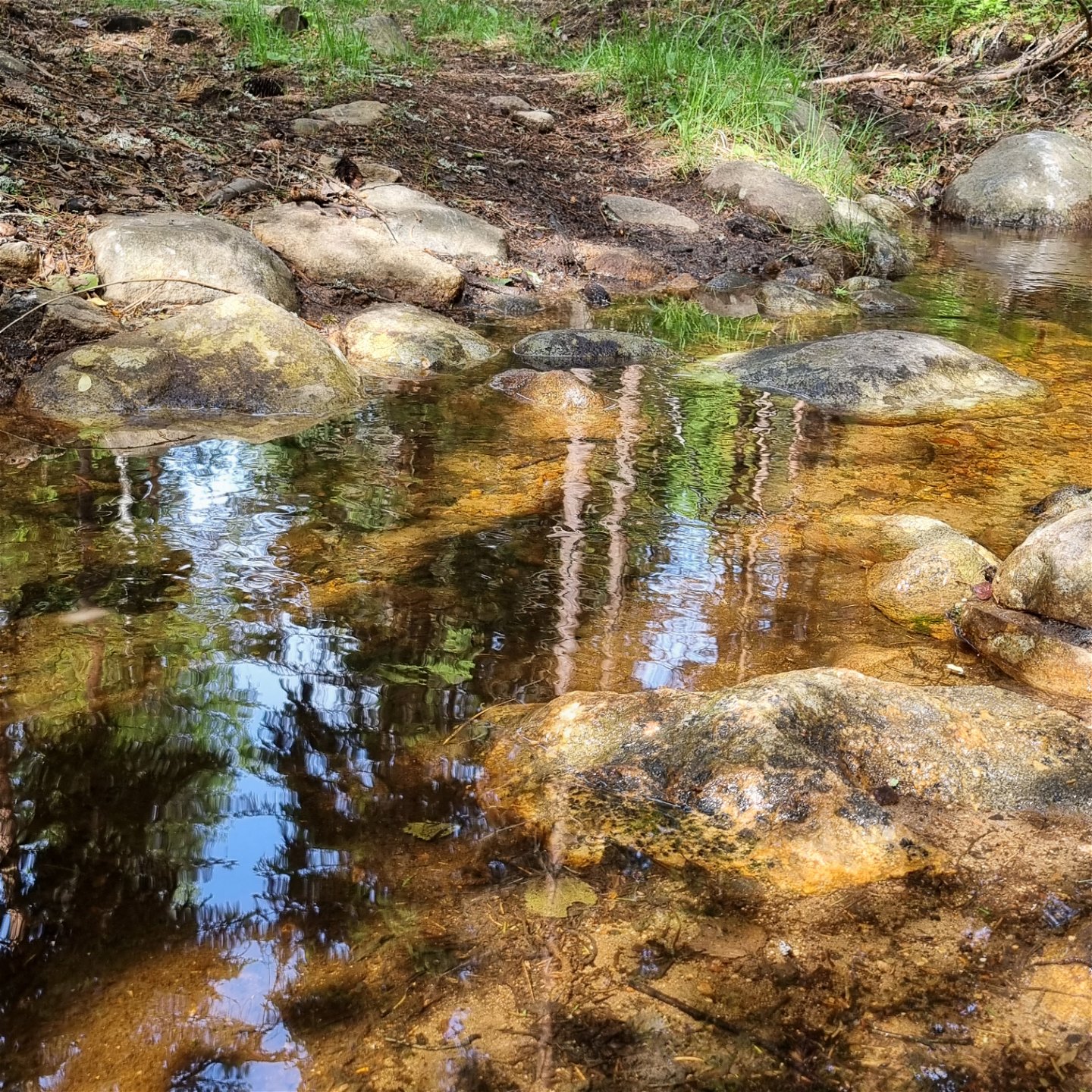
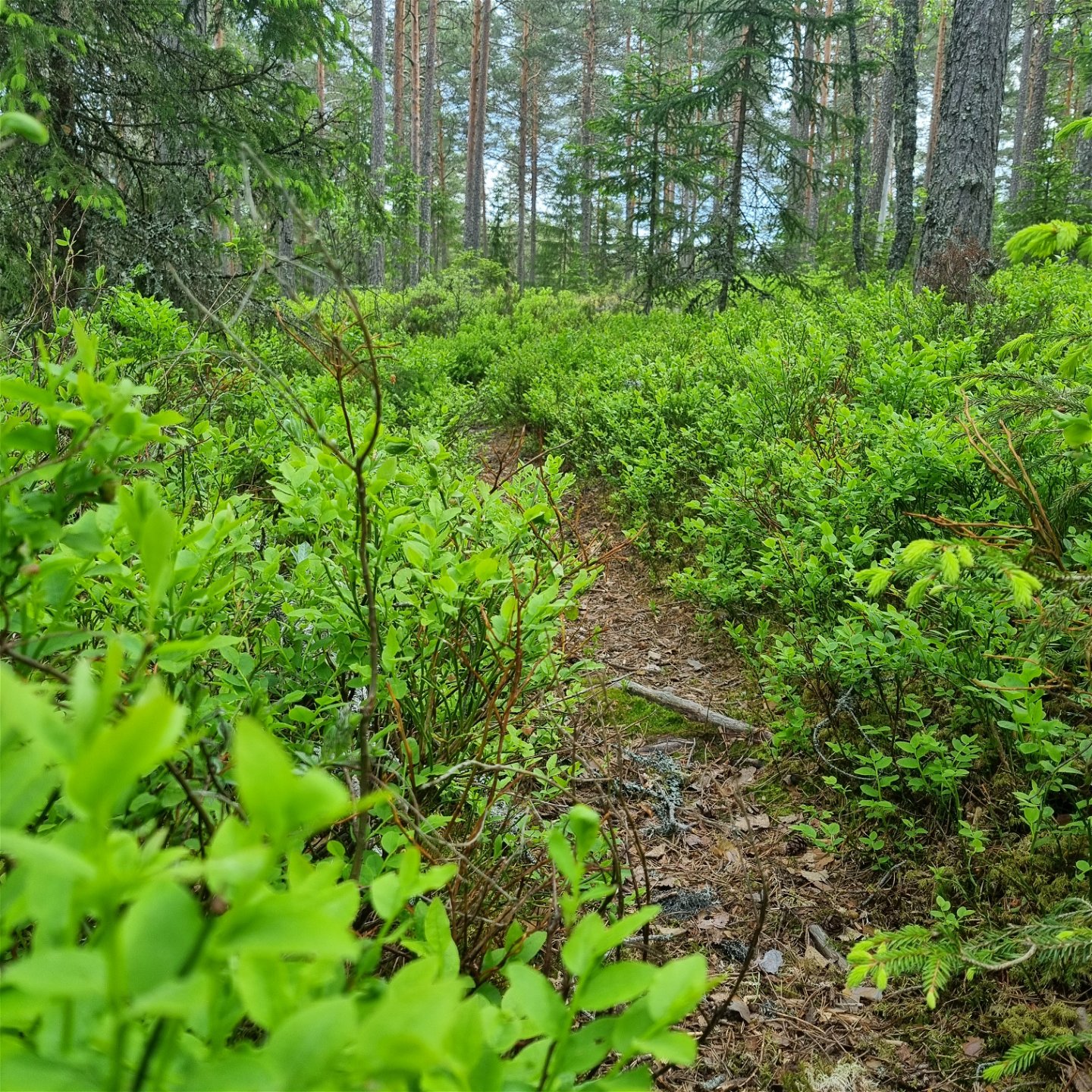
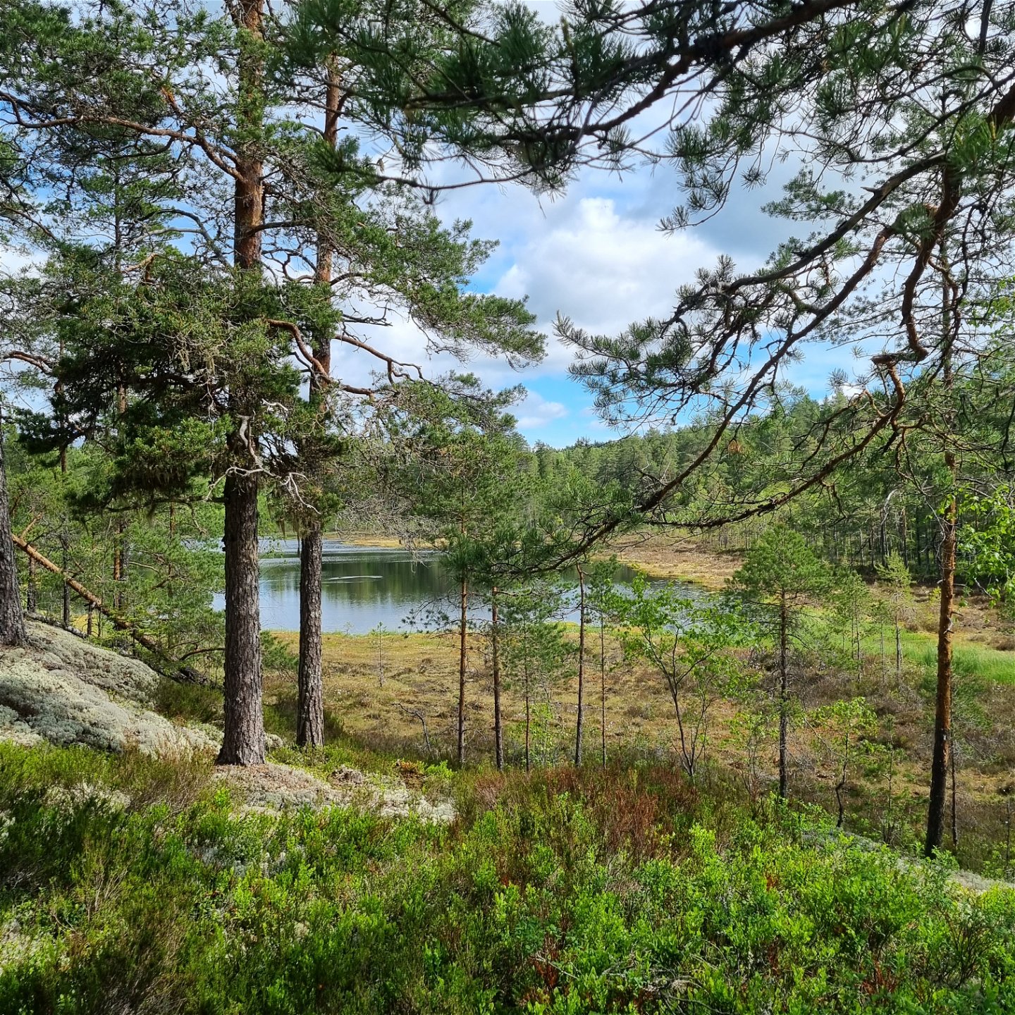
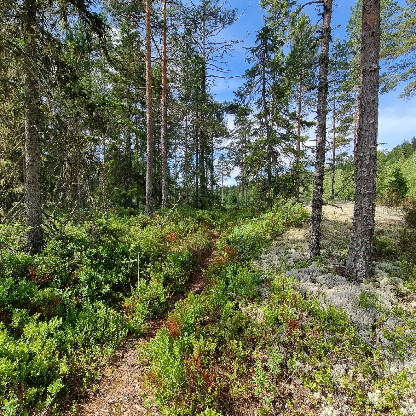
A hiking trail of 17 km between Gravås in Gunnarskog and Taserud in Arvika. The trail passes through pine, spruce and mixed forests, across forest streams and by a lake and a river. There are two circular stretches about midways of 6 and 3,5 km. The best starting point for those is from Vassvika. On the eastern side of the longer one, there is a tarn.
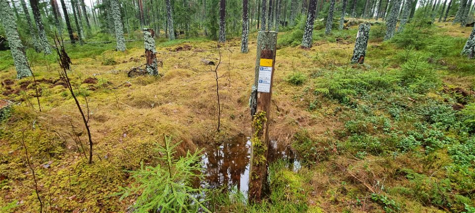
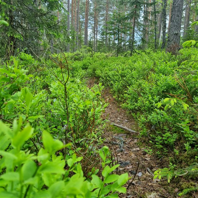
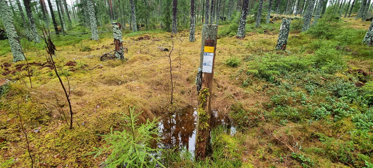
The climb is a bit steep at Kroksberget, Blanka Pannan and in the south towards Taserud. The trail is well visible and marked with orange on trees and posts.
The surface
is mostly forest paths, but some stretches are gravel roads. Close to housing, there
may be car traffic.
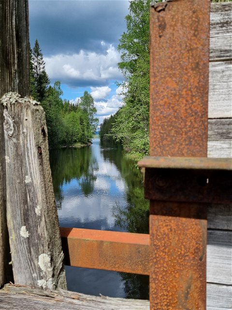
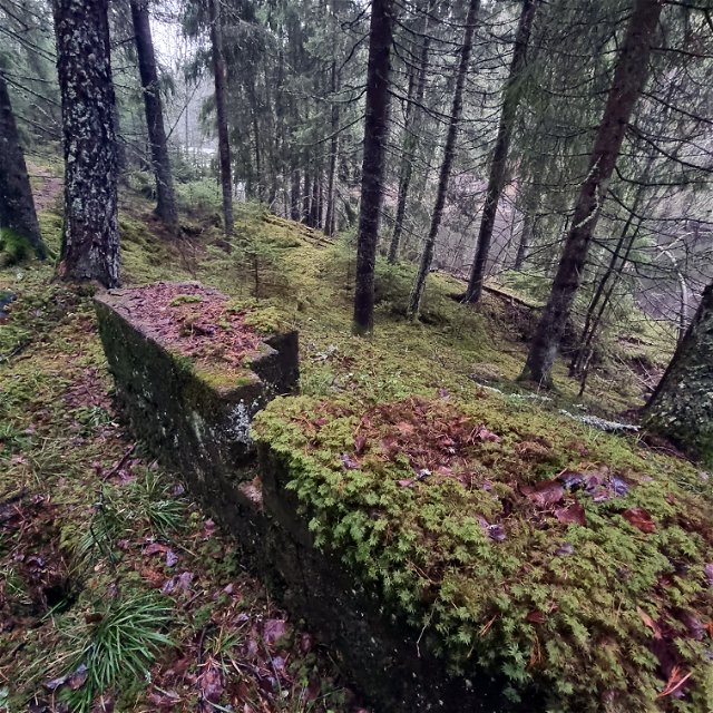
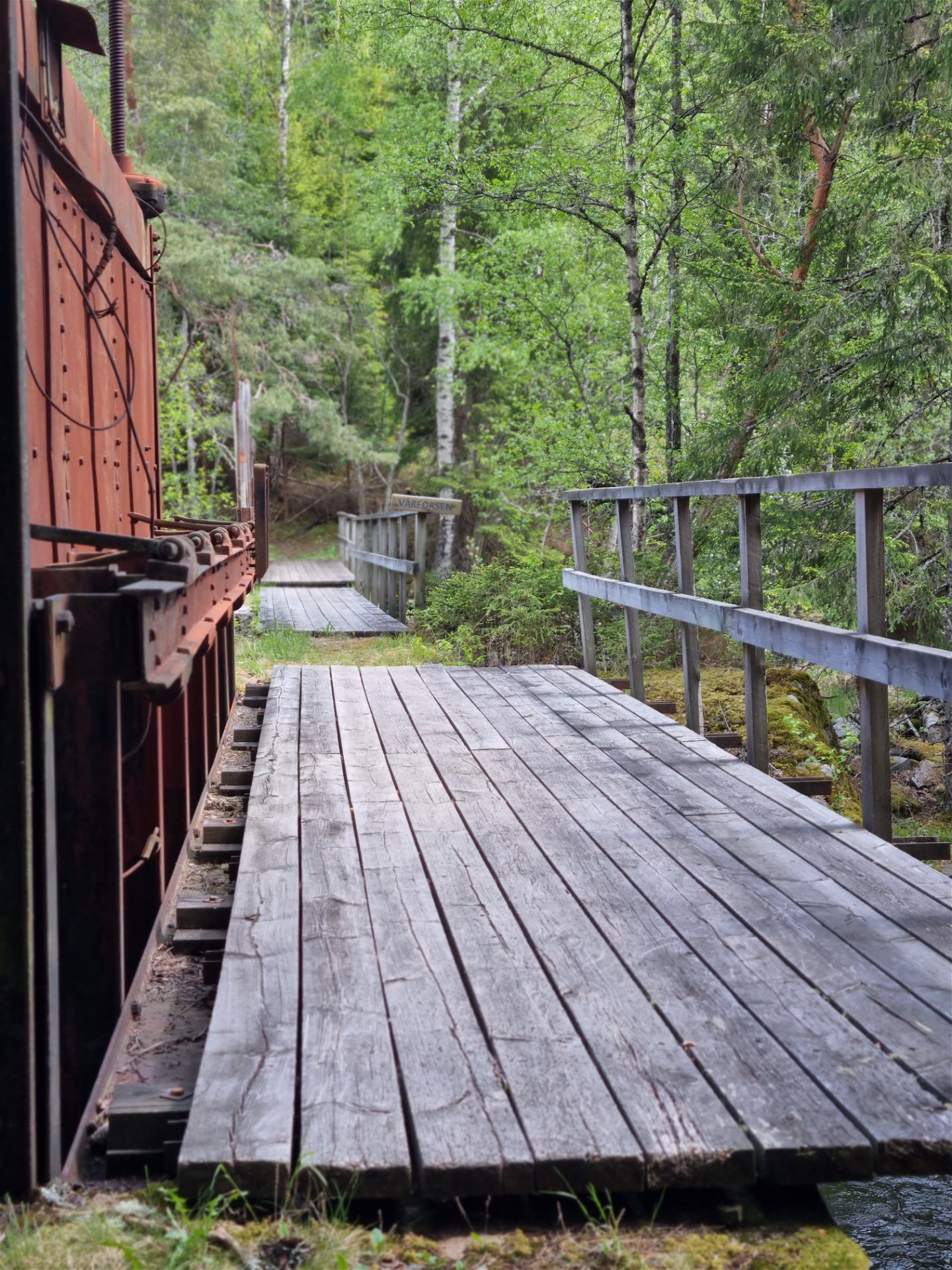
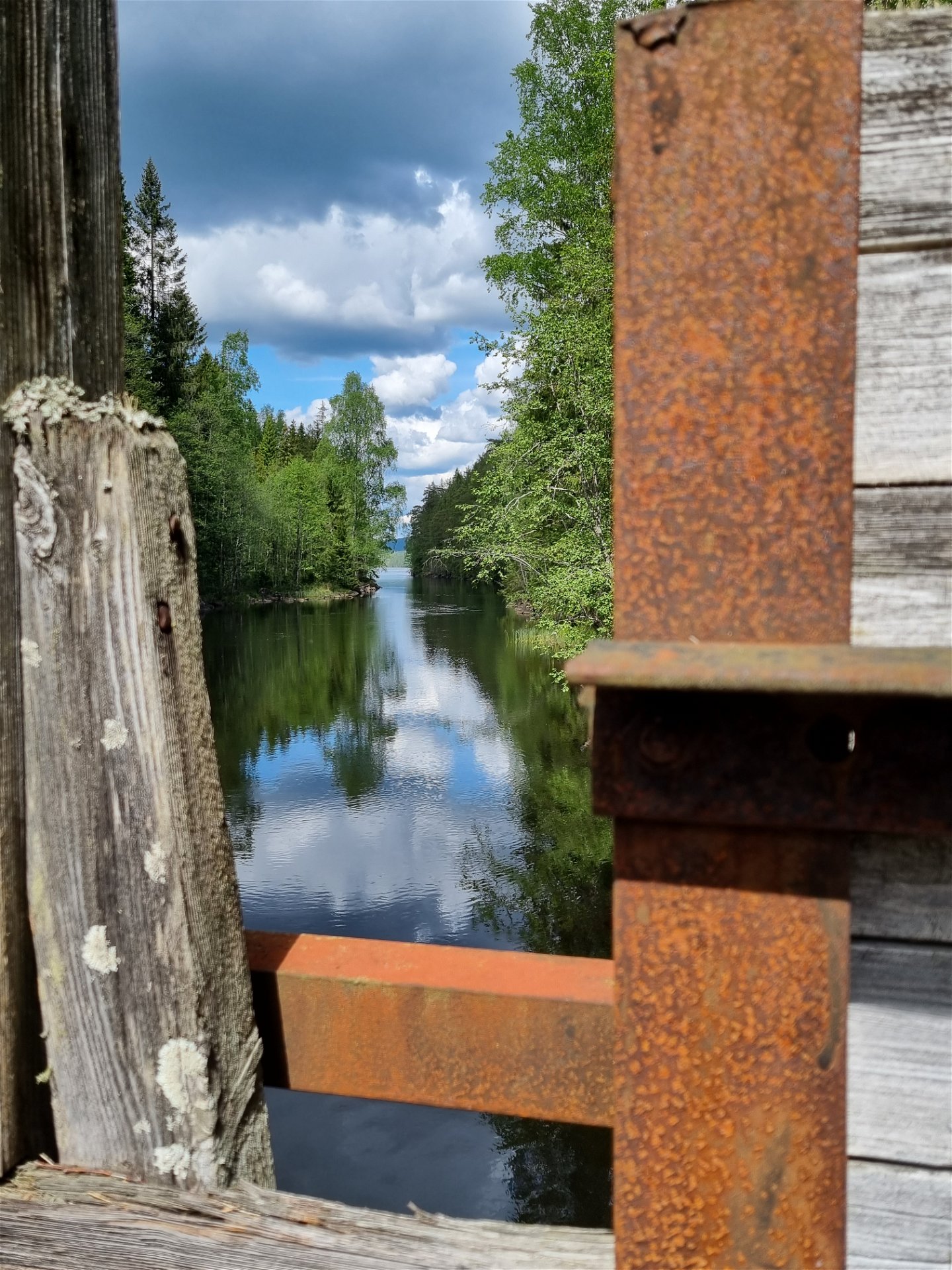
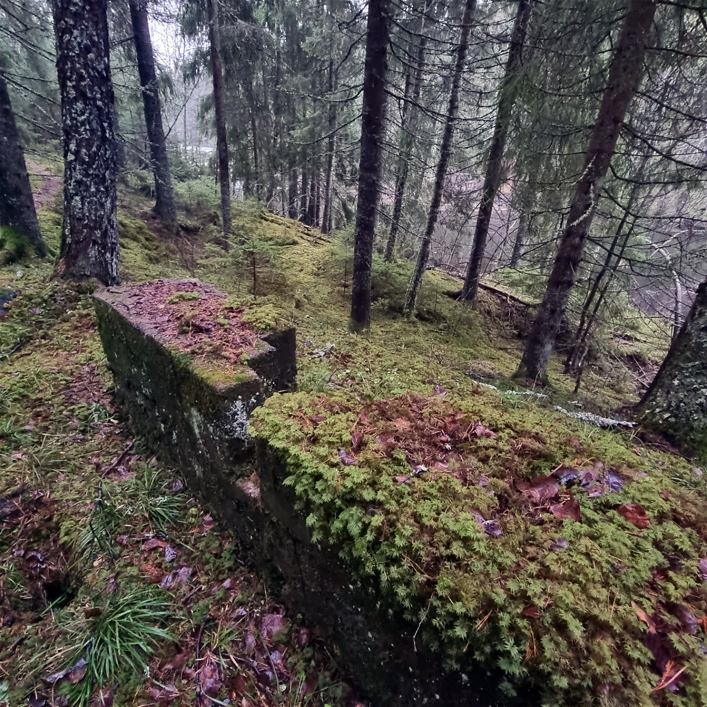
At the Vårforsen dam there are remains of a military fortlet from the preparedness times in the 1940's. The remains are on the eastern shore, around 50 meters off the trail to the north.
Nearby Kolkojan there are hunting pits for moose, from the hunter-gatherer society. They are marked with historic plaques. You can find their exact location in an app from the Swedish National Heritage Board, called Fornsök.
There is little or no mobile phone coverage on the eastern side of the circular trails and in the Vassvika area.
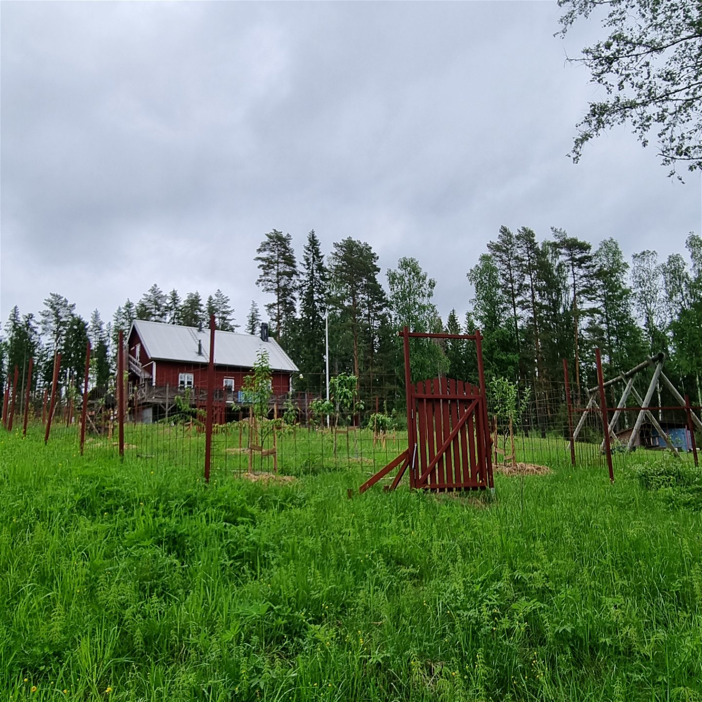
In Vassvika, the Swedish Outdoors Association/Friluftsfrämjandet has a club house with a wind break, a fire place and a forest garden. Find out more at Arvika-Sunne - Friluftsfrämjandet (friluftsframjandet.se). You will need to bring your own fire wood and check out the current fire restrictions at msb.se.
Detalled trail description under Facts below.
A PDF map is available at visitarvika.se under Activities/Hiking/Gravåsleden, under Documents.
Activiteiten en faciliteiten
-
Hiking
Feiten
Trail description from North to South
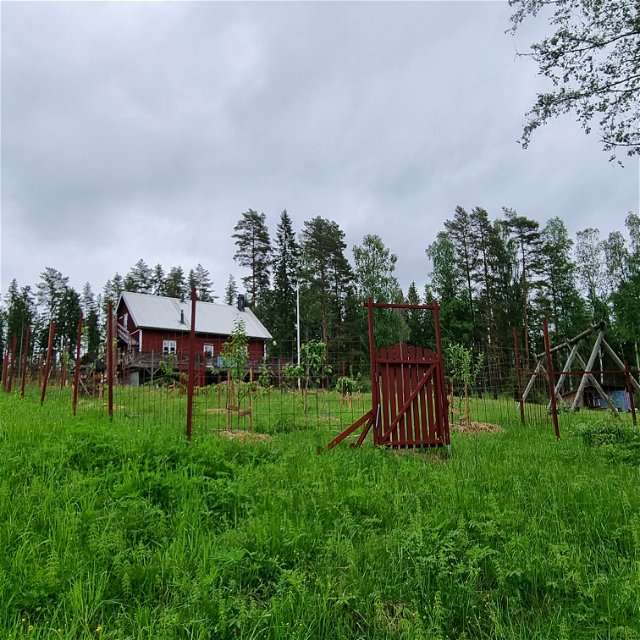
From Gravås, the trail follows a gravel road for some hundred meters, past a few farms (please respect their property which is close to the road). The gravel is succeeded by a soft grassy forest road, which goes through coniferous forest. Closer to Lake Gunnern and the Vårforsen Dam, it turns into a path, but is well visible and wide.
After crossing the dam, you can find remains of a historic military facility, just 50 meters north of the trail, by the river bank on the eastern shore. The fortlets were set up to reenforce the defense line during the preparedness times in the 1940’s. Originally the 325x50 meters held six concrete combat defenses, two concrete bunkers and a system of trenches.
Back on the trail again, going south along the river, the trail turns east across the ridge where you can see another bunker. A passage through mixed forest and a cutting area, takes you to a gravel road. Please mind your step to avoid the spruce plants in the cutting area, and follow the orange markings on the outskirts of it.
After a few hundred meters on the gravel road, you will cross an asphalt road, before the climb to Kroksberget. A beautiful mix of pine forest and blueberries cover the mountain top. The lake you get glimpses of in the west, is called Bjälvern.
At Kolkojan there are historic hunting pits for moose. You can find their location on the information sign, or check the Fornsök app from Swedish National Heritage Board (www.raa.se). The pits are within 100-600 m from Kolkojan, but off the trail.
From Kolkojan the trail goes south, through pine and rocky terrain to Blanka Pannan, where you can choose to take the western or eastern side to Vassvika. This is the longer (6,3 km) of the two circular trails. The western side has easy and dry terrain, with pine and mixed forest. The eastern side is also a comfortable walk as far as Mjögtjärnet, a peaceful place with bird life by the tarn. South of the tarn though, you cross its outlet, which makes about 20 meters quite wet. Duck boards will be laid in spring. When it is done it will be announced in our digital channels and in the trail description. The same goes for the last stretch of the path, about 280 meters east of the tarn, where the path turns south. There is a wet area of 15 meters, where duck boards will be laid as well. High boots or rubber boots are recommended for the time being.
When you get close to Vassvika, there is a somewhat damp area with wind falls.
The two sides meet further south, where you can choose the west or east side of the shorter circular trail (3 km).
Routebeschrijving
Suggested starting points
Gravås, latitude 59.779608, longitude 12.551611
Best suited for bus connection or drop off/pick up point for car transport, as
there is no designated parking area yet.
The bus connection 109 Arvika-Gunnarskog passes the stop ”Myrevägen” after approximately
15 km from Arvika. For time tables, visit Värmlandstrafik (varmlandstrafik.se).
Taserud, latitude 59.675252, longitude 12.605437
There is a designated area for parking.
The nearest bus stop is the Rackstad Museum. Walk to the intersection
Kungsvägen and Kardarevägen, where the trail begins. For time tables, visit Värmlandstrafik (varmlandstrafik.se).
Vassvika, latitude 59.702702, longitude 12.611103
There is a designated area for parking.
The bus connenction 110 Arvika-Gunnarskog, passes the stop ”Vassvika” after approximately
5 km from Arvika. Bus travellers have a walk of 2 km on the gravel road up to
the Vassvika Club House. You connect to the trail on the west side of the
house, down by the creek. For time tables, visit Värmlandstrafik (varmlandstrafik.se).
Downloads
Contact
Adres
Besöksadress:
Visit Arvika
Arvika Turistcenter
Storgatan 22
671 31 Arvika
www.visitarvika.se
E-mailadres
Visit Arvika
Organisatie-logotype

Houd er rekening mee dat sommige teksten automatisch zijn vertaald.
Vragen en antwoorden
Stel een vraag aan andere Naturkartan gebruikers.

