Finnleden Västra
Hiking
- Regio: Värmlands län
- 6551.29 km van u vandaan
Pad details
- Lengte 9.0 km
- Moeilijkheidsgraad Blauw - medium
Acties
Omschrijving
Summary
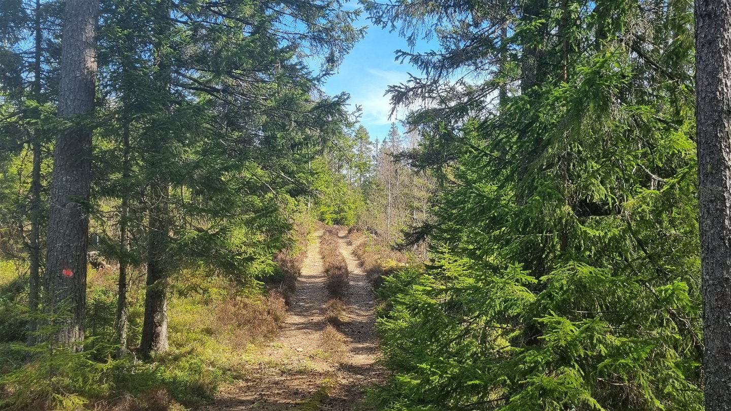
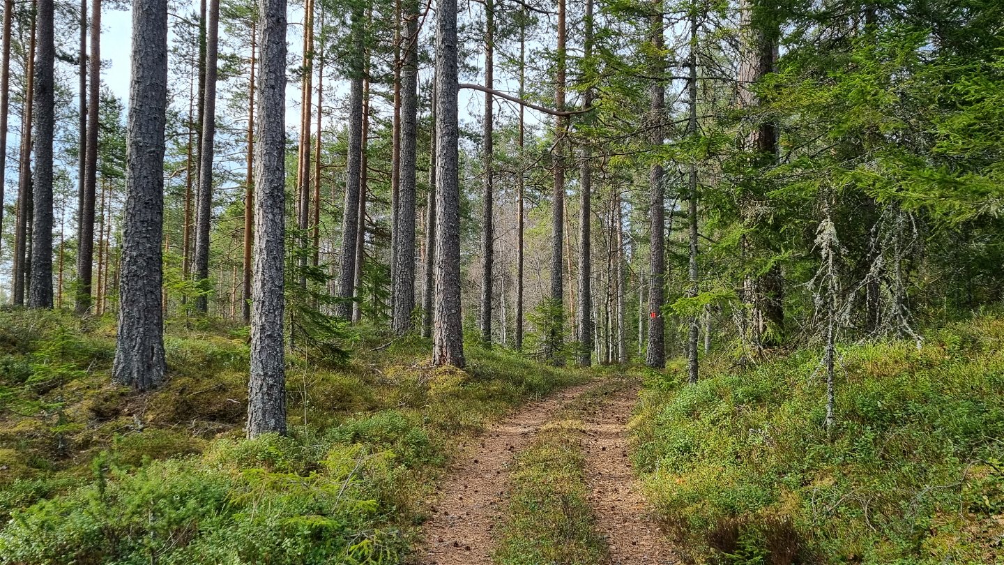
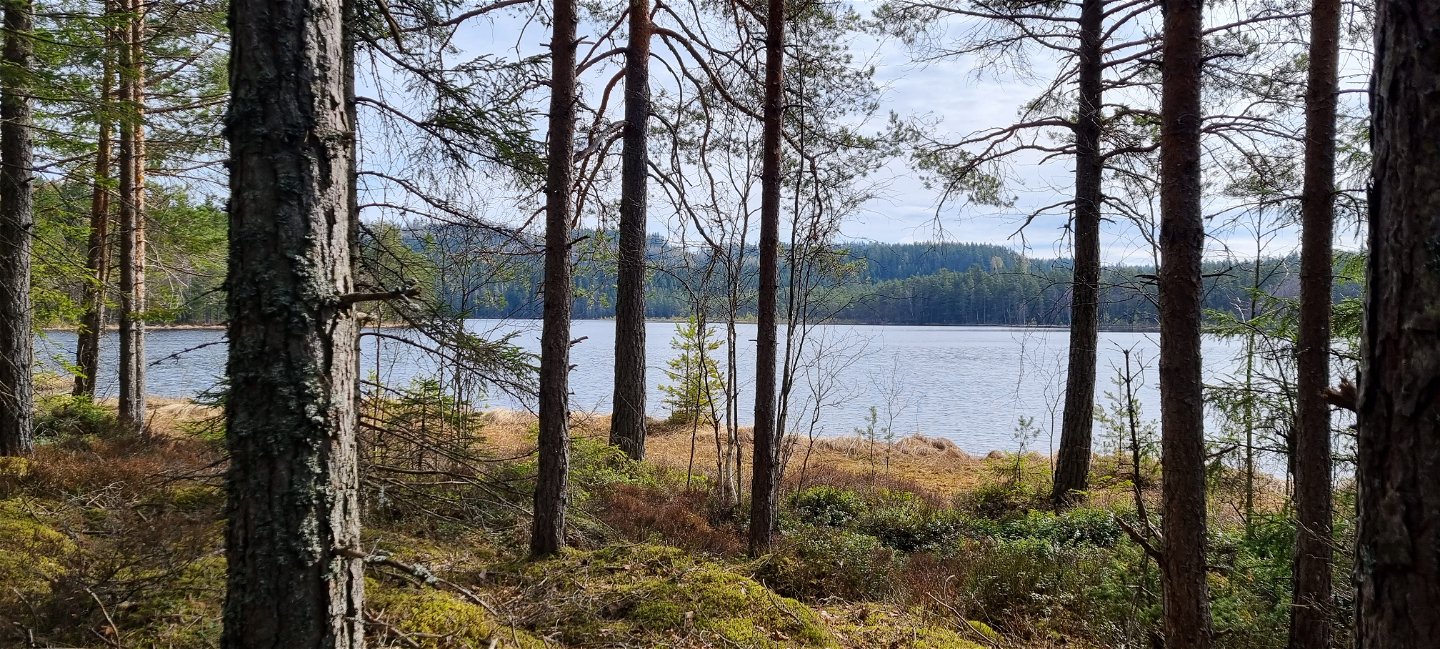
In Mangskog there are many paths of Finn tradition. Two of them are orange marked hiking trails, Finnleden Västra and Finnleden Östra that meet up north in Bjurbäcken and run parallel for a bit. Finnleden Västra is a circular trail of 15 km with parking space and start at Storperstorpet, west of the Tobyn junction.
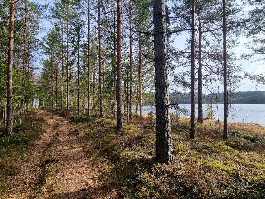
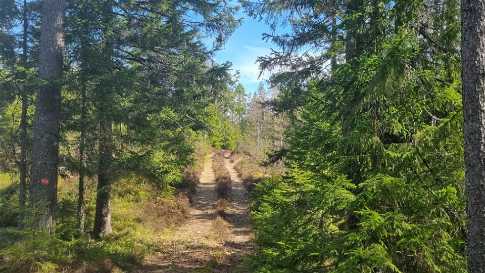
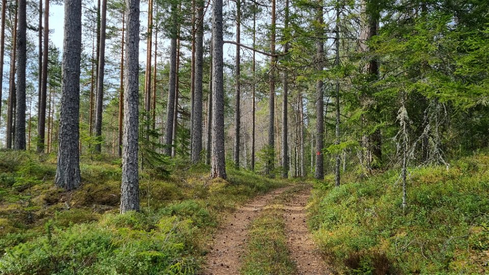
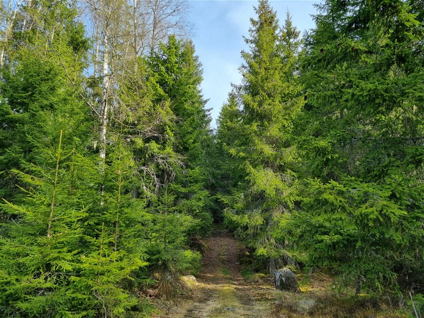
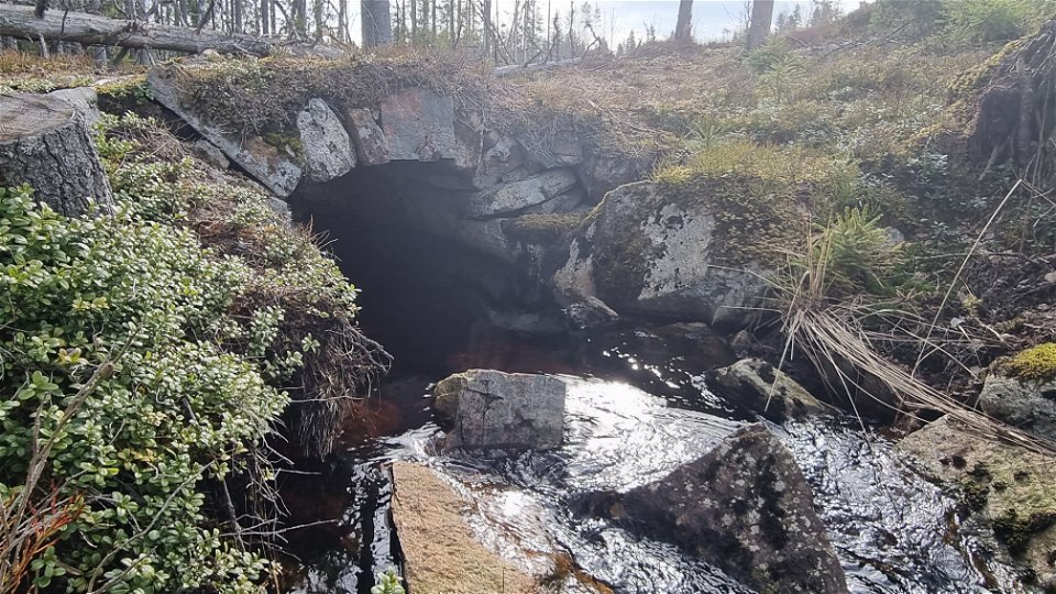
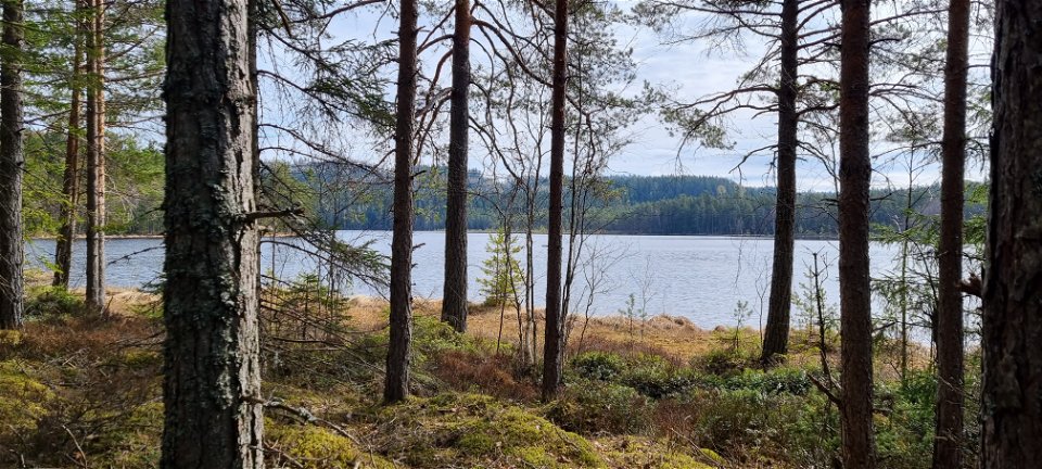
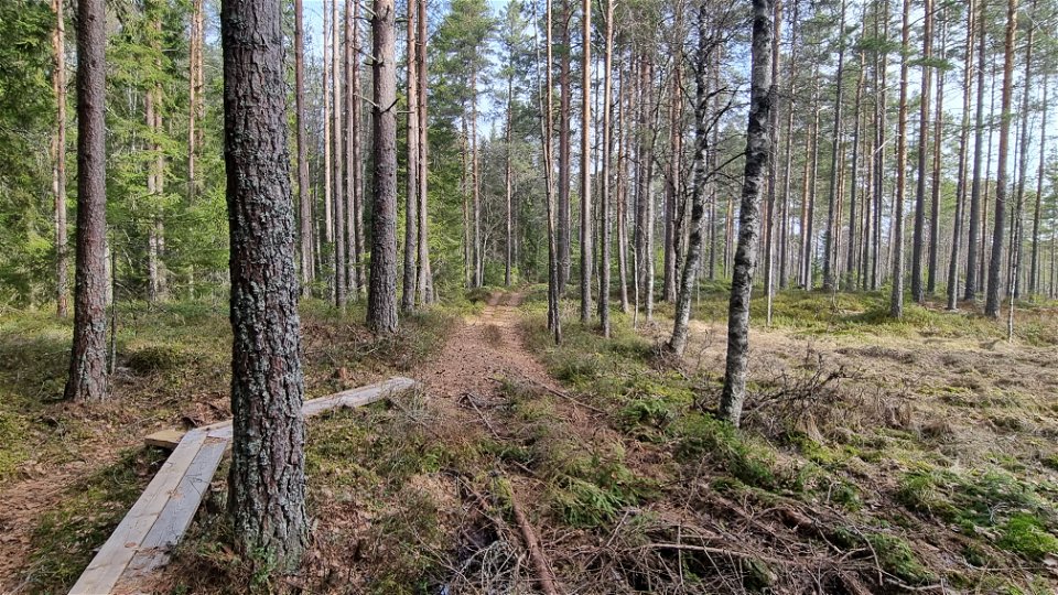
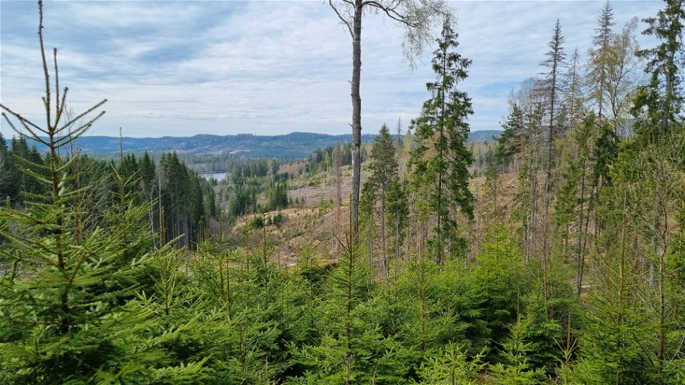
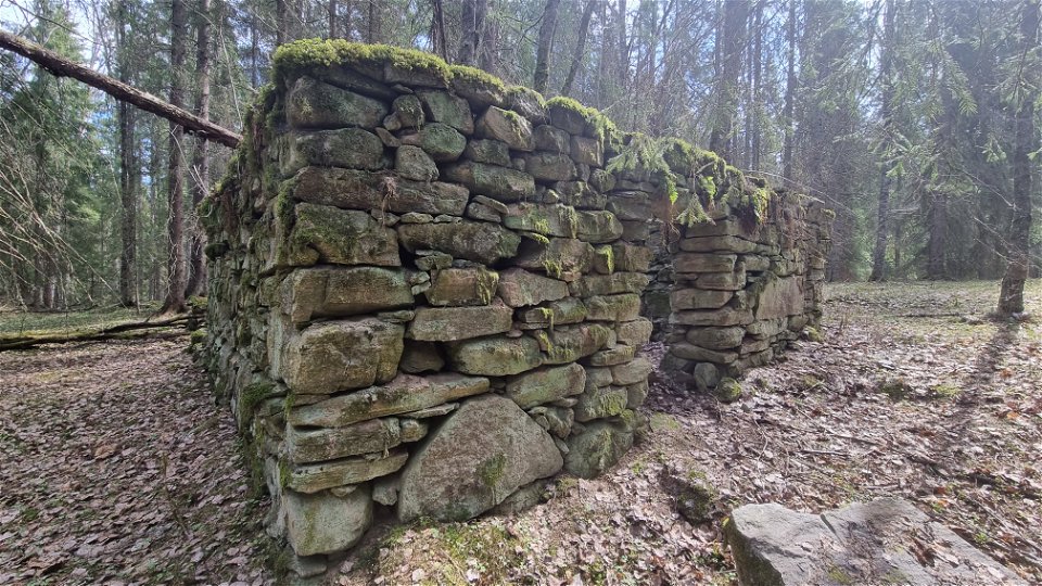
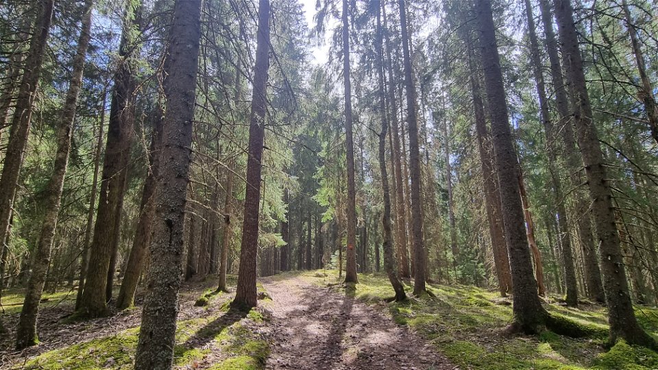
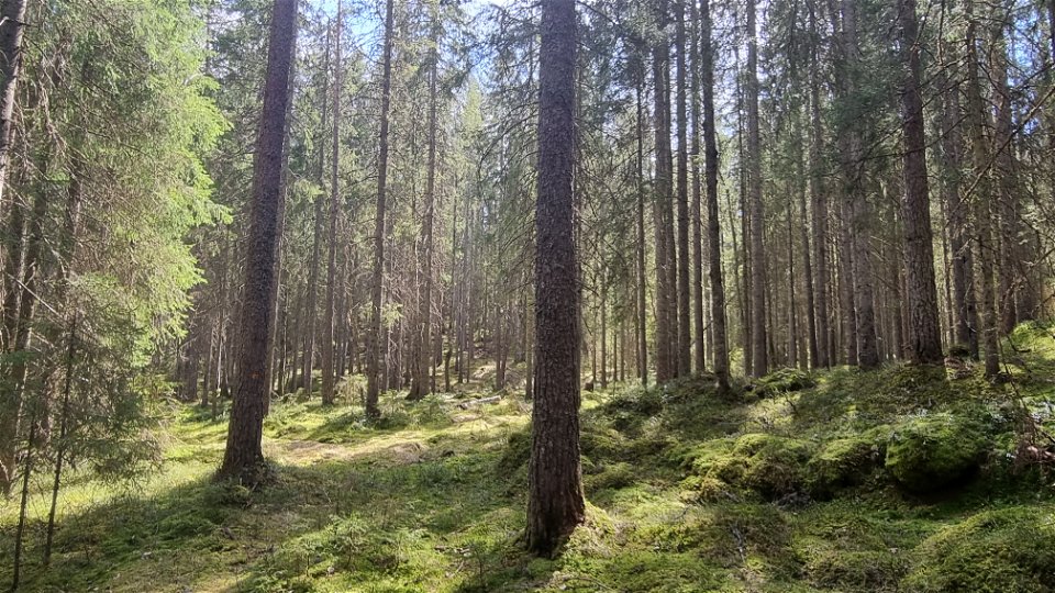
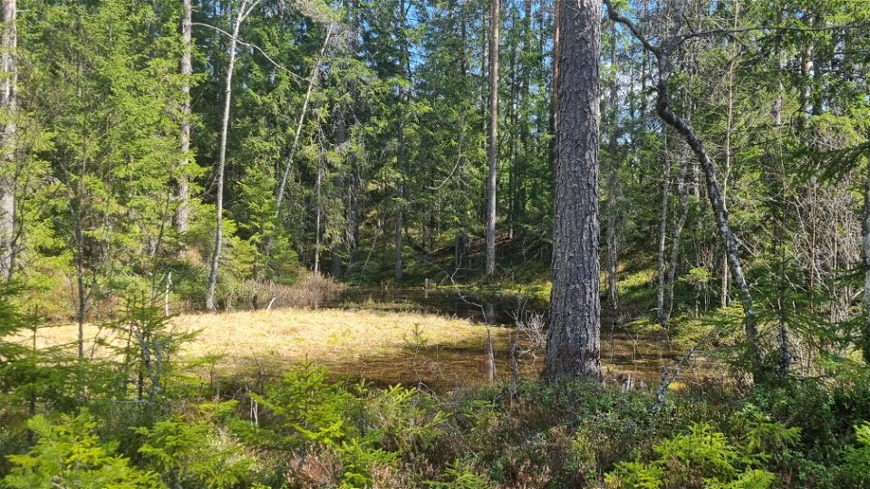
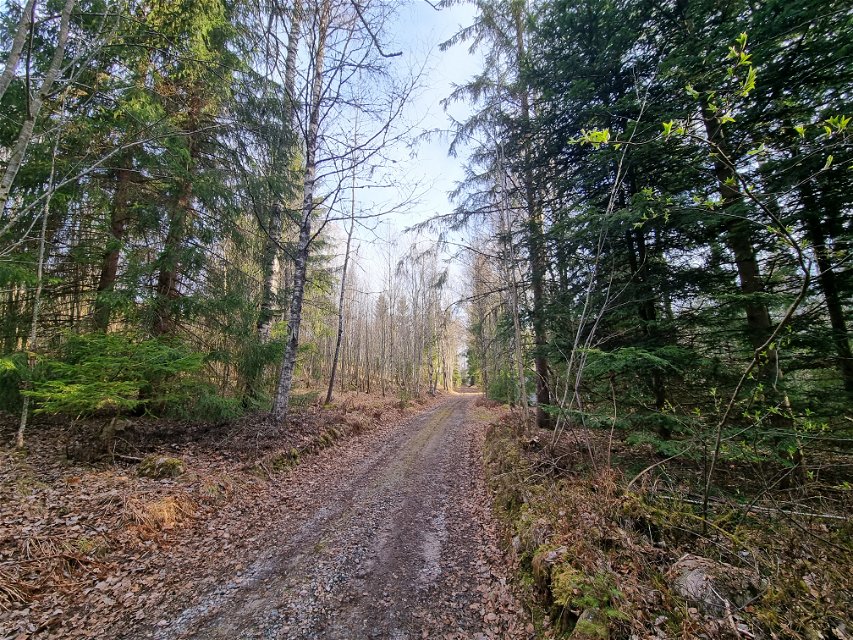
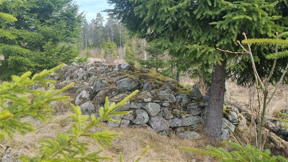
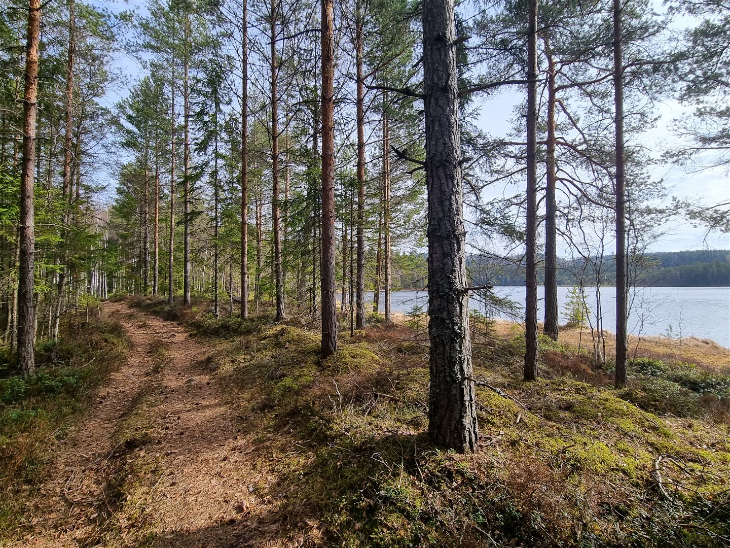
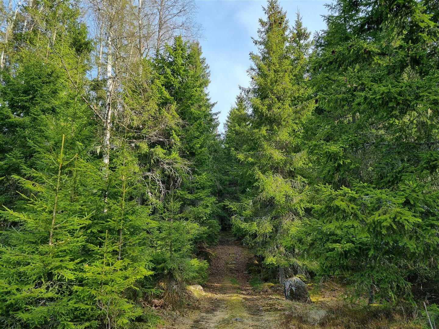
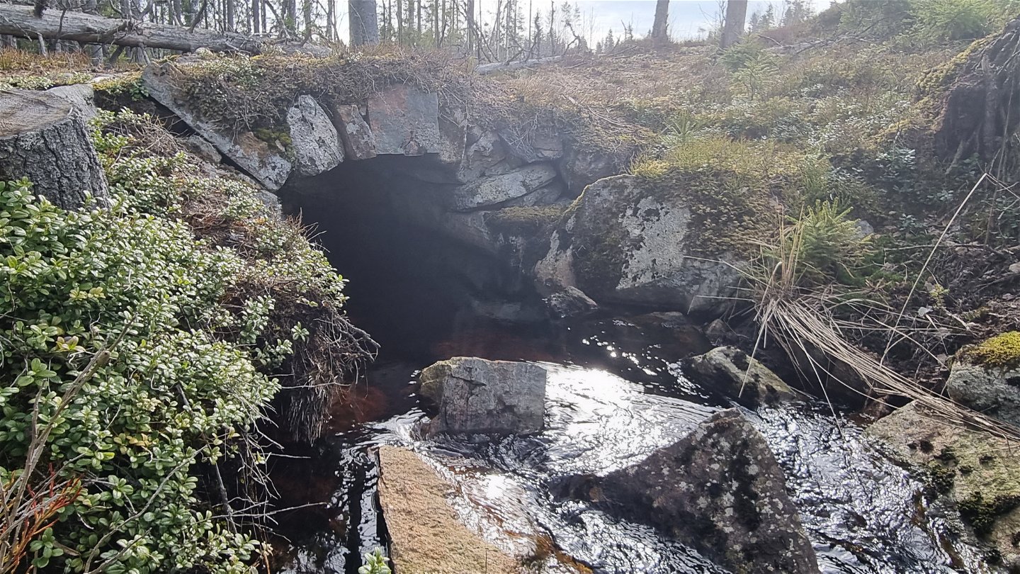
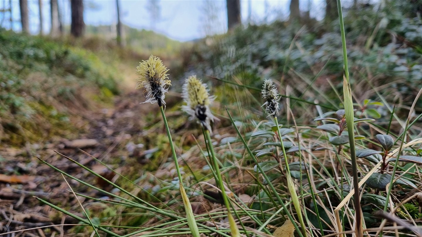
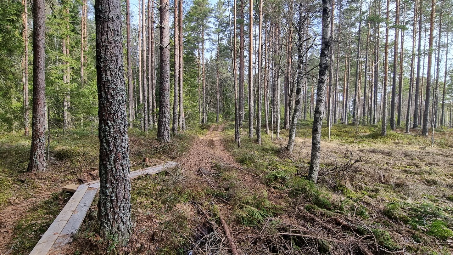
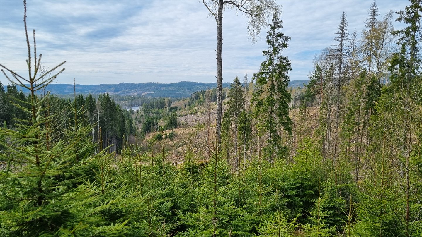
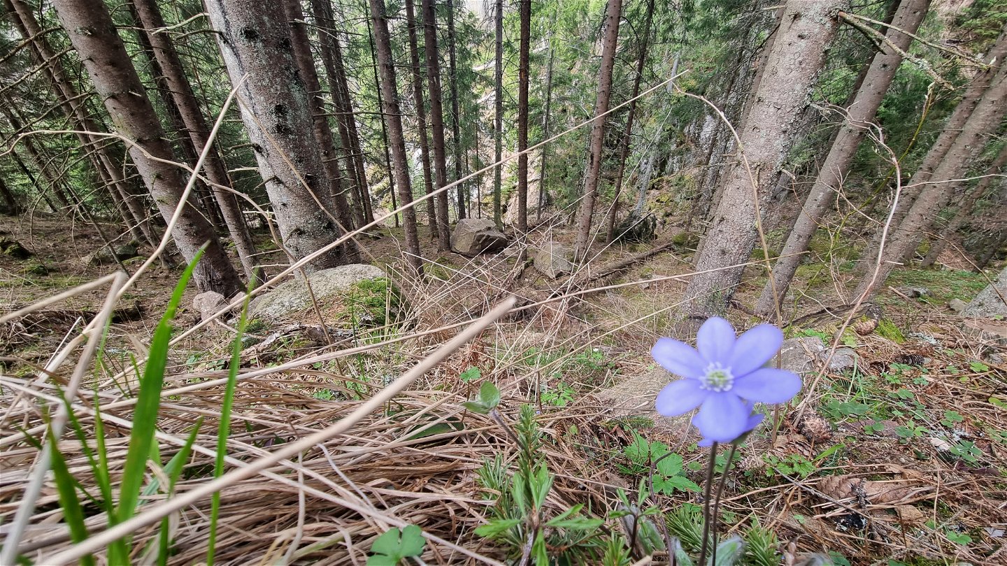
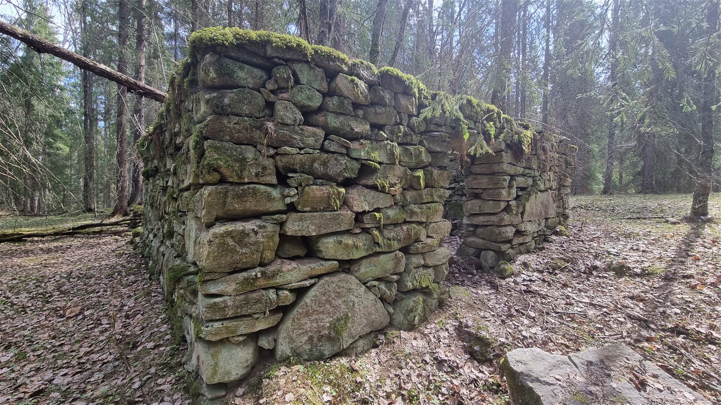
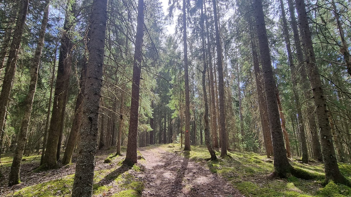
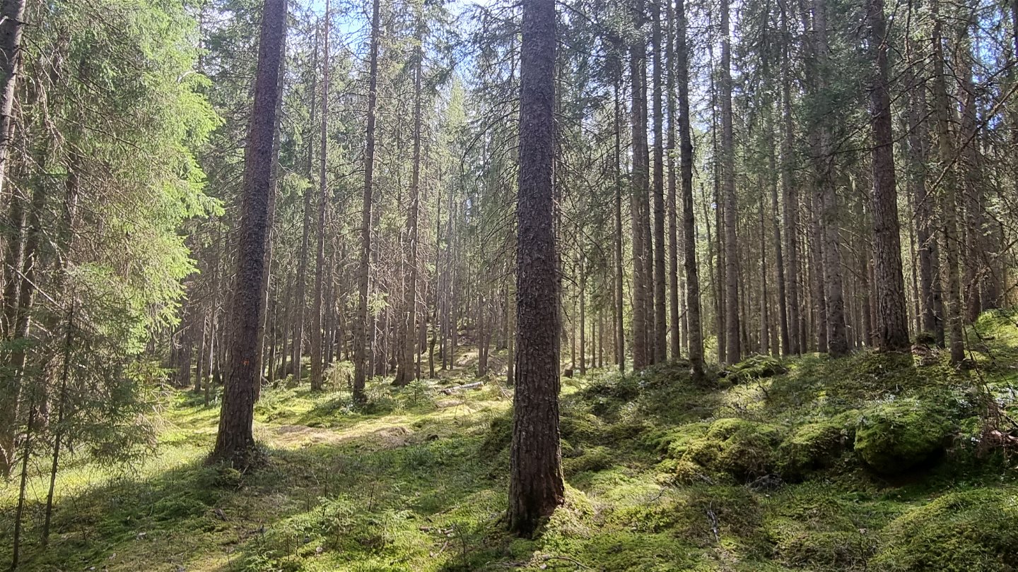
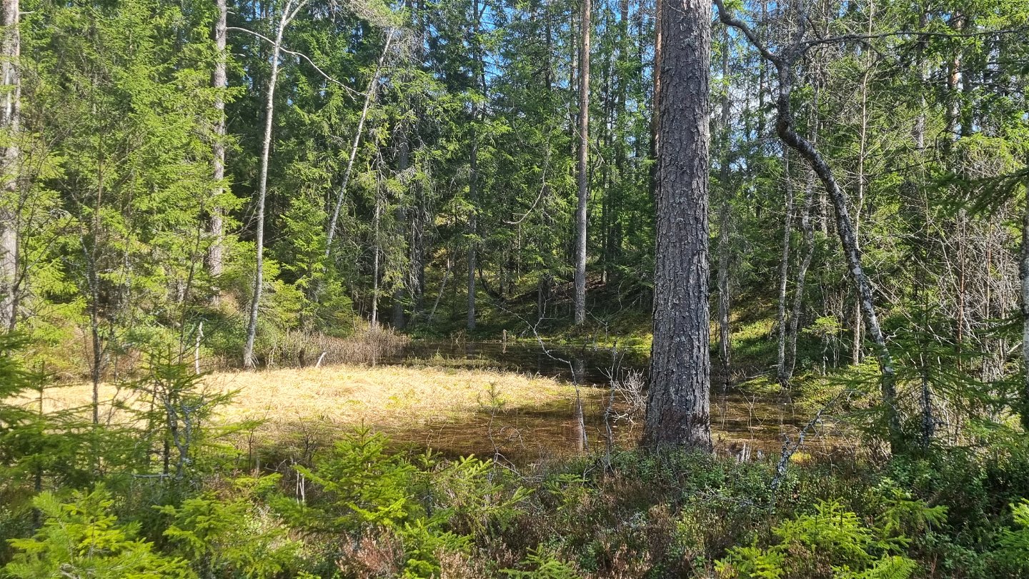
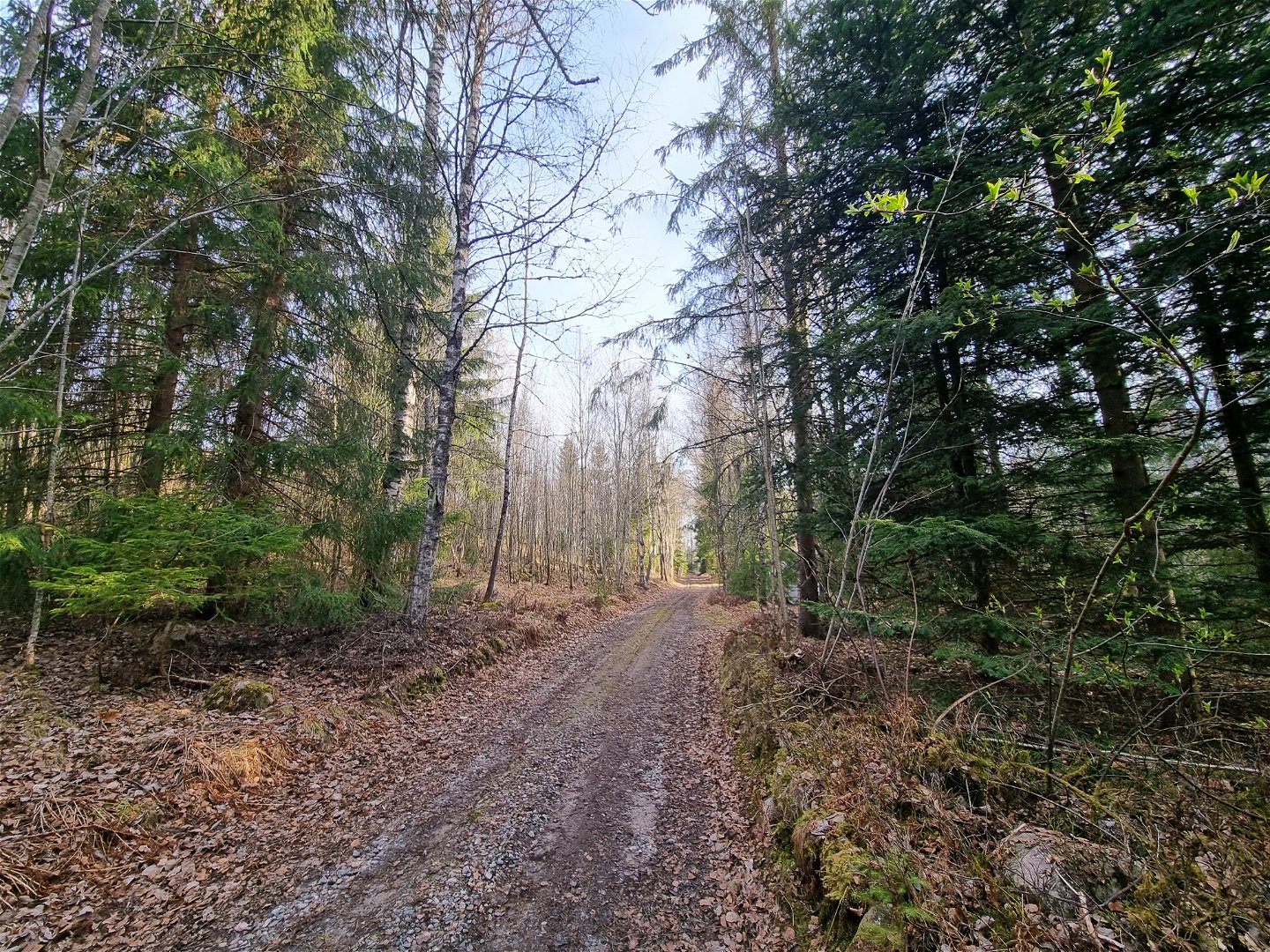
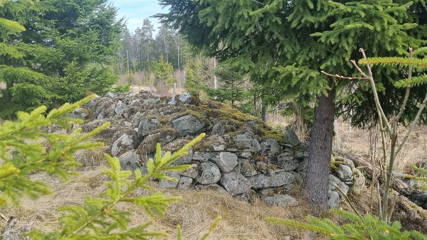
The area is characterized by wilderness spirit and beautiful nature. The area has traditions of Finn culture and historical forestry. The trail passes some Finn crofts and cultural historic remains. The terrain is partly hilly and the surface varies between carriage roads, forest paths, logging roads and gravel roads. Active forestry is conducted along almost all our trails and you will now and then pass by cutting areas in different states of regrowth.
See the detailed description under "More information and links".
Activiteiten en faciliteiten
-
Hiking
Contact
Adres
Besöksadress:
Visit Arvika
Arvika Turistbyrå, Storgatan 22
671 31 Arvika
www.visitarvika.se
E-mailadres
Visit Arvika
Houd er rekening mee dat sommige teksten automatisch zijn vertaald.
Vragen en antwoorden
Stel een vraag aan andere Naturkartan gebruikers.

