-

-

-

-

-

-

-

-

-

-

-

-

-

-

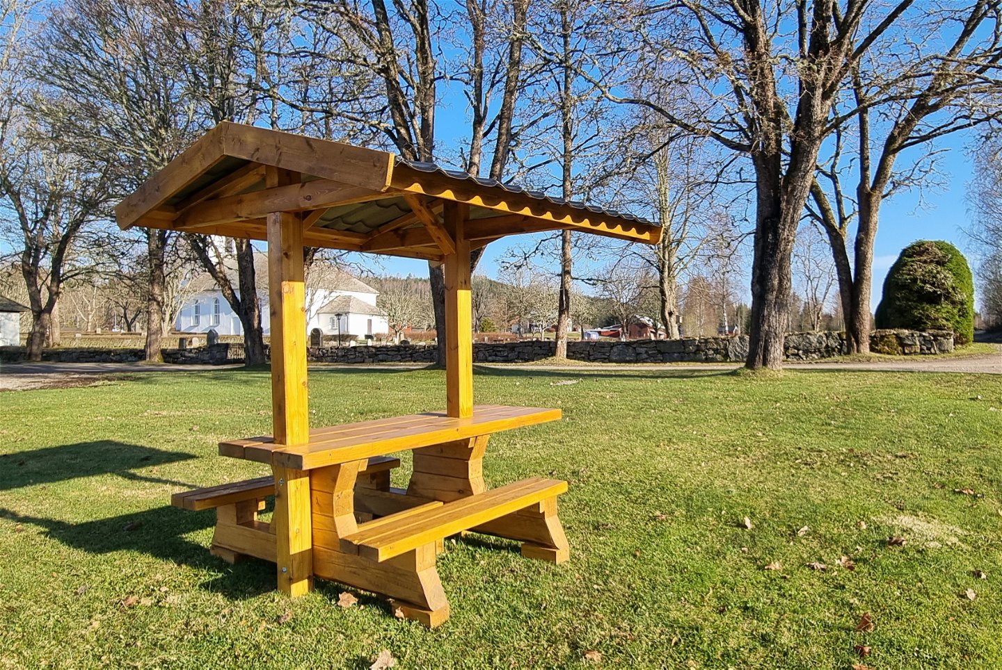
Bänkbord vid Mangskogs kyrka


Finnleden Östra
Hiking
- Regio: Värmlands län
- 6549.25 km van u vandaan
Pad details
- Lengte 19.1 km
Acties
Omschrijving
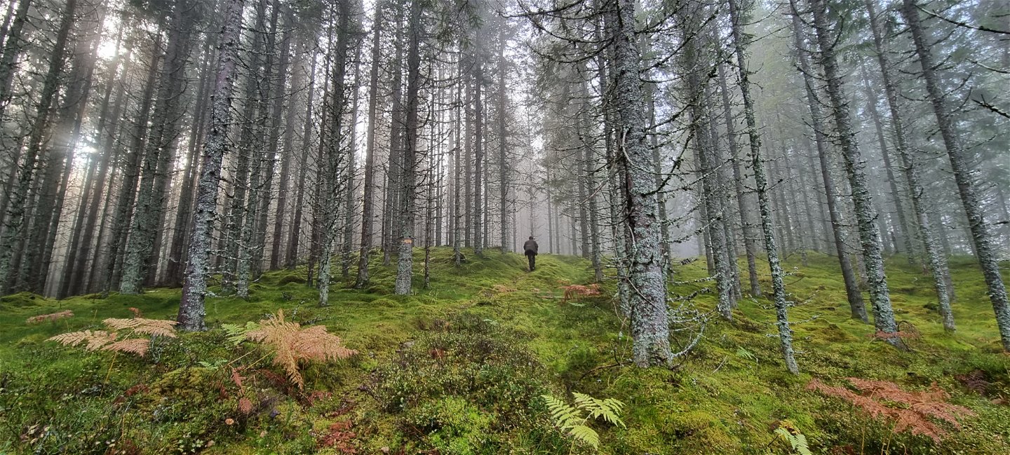
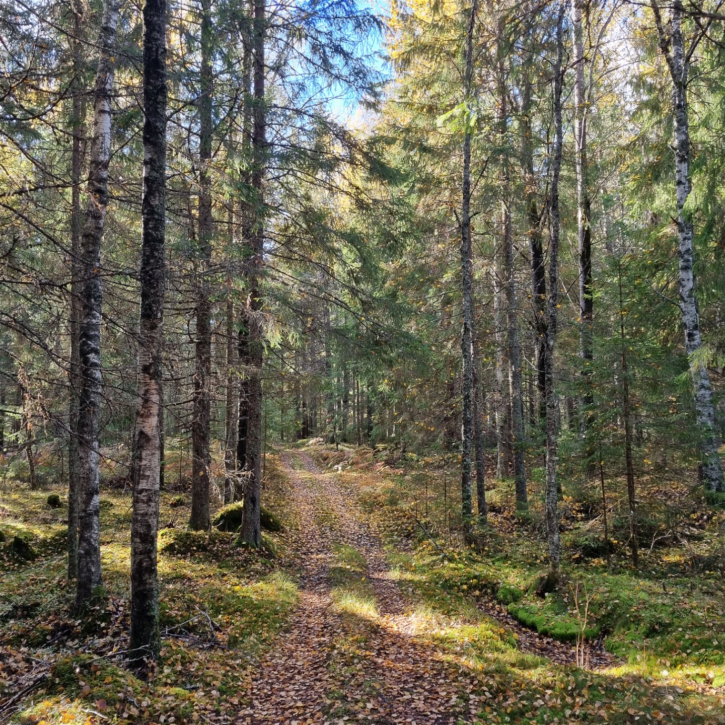
The HIKING VÄRMLAND trail Finnleden Östra offers 19 km of varied terrain on carriage roads and paths in the forests north of the Mangskog church.
Finnleden Östra is a quality proofed and certified HIKING VÄRMLAND trail. The trail entry is at the Mangskog church, where there is a large parking area and a roofed bench table. Up north in Bjurbäcken*, Östra (Eastern) connects to Finnleden Västra (Western) and Mellersta (Middle), but continues further north and also connects to Ängenleden in Sunne municipality. The trail system goes on through Gunnarskog, thereafter Torsby municipality and across the border to Norway.
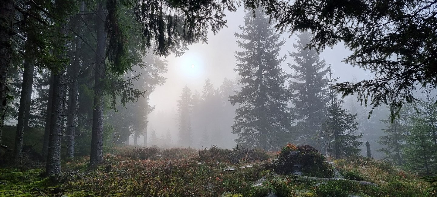
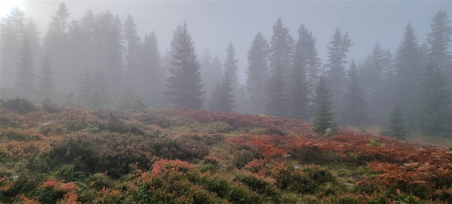
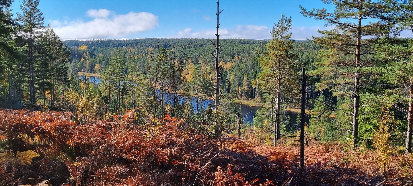
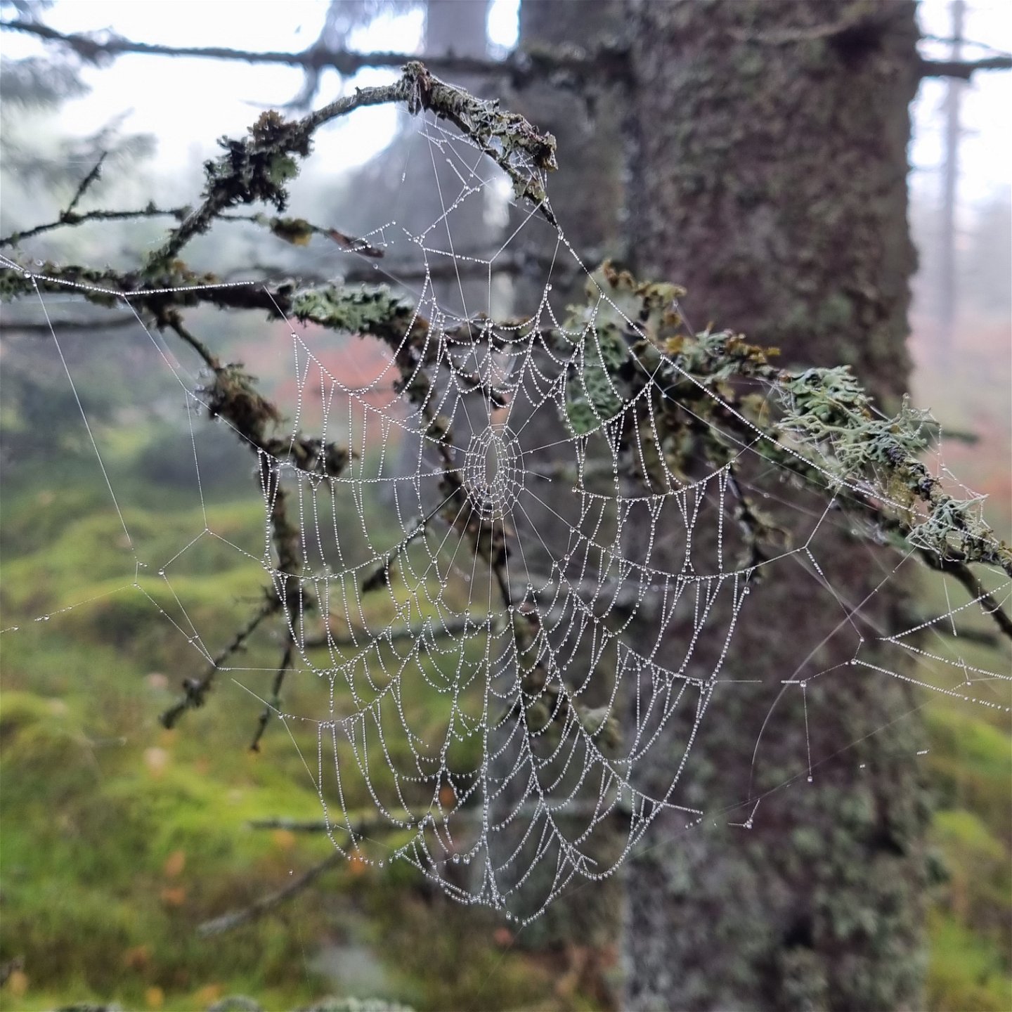
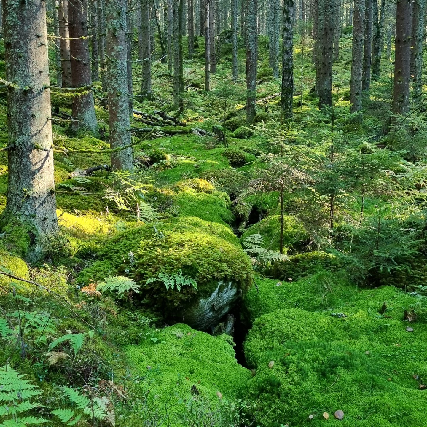
On Finnleden Östra you mostly follow old carriage roads and paths through the stillness of vast forests, creeks and tarns, old Finn croft remains and some nice views from heights. From a distance you can see Lake Lången and the tarns Nedre Flytjärnen and Långtjärnet.
The terrains has some altitude changes, but are no problem to a person of normal fitness.
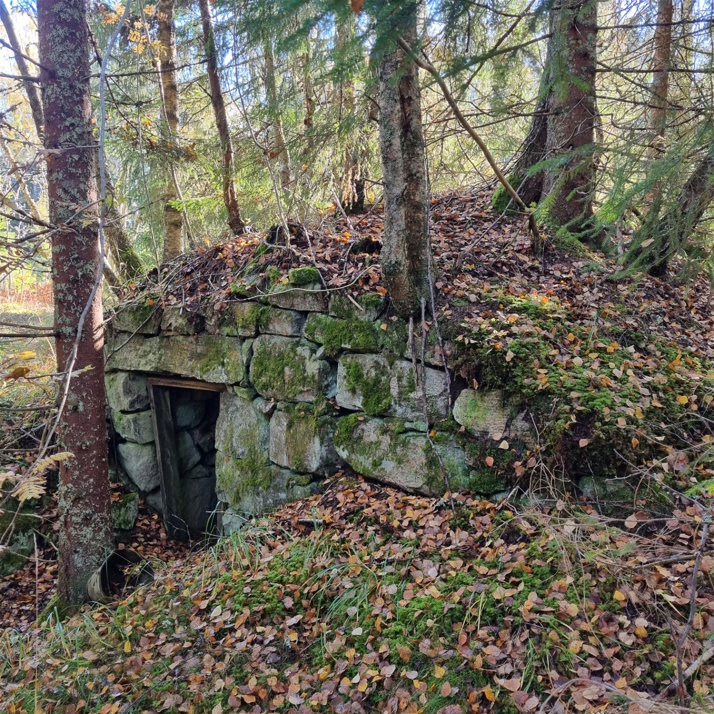
From a cultural perspective it is interesting to pass through the home stead of Nils Keyland and Ludvig Mattsson (see links below). The place where Nils Keyland died is marked with a memorial plaque next to the trail in Bjurbäcken. He is buried at the Mangskog cemetary.
Nils Keyland – the treasure hunter of Finnish culture – Arvika – Visit VärmlandVisiting friends by foot – Arvika – Visit Värmland
The trail is marked in orange. A detailed trail description and a map is available under Documents.
Service
-Please bring your waste home, but if you can't there is a recycling station at vid ICA Lundby livs i Mangskog.
-There is a bus stop at the Mangskog church, see Värmlandstrafik - Värmlandstrafik for time tables.
* Bjurbäcken was the largest homestead for the Forest Finns in Mangskog about 300 years ago.
Activiteiten en faciliteiten
-
Hiking
Contact
Adres
Besöksadress:
Visit Arvika
Arvika Turistbyrå, Storgatan 22
671 31 Arvika
www.visitarvika.se
E-mailadres
Visit Arvika
Houd er rekening mee dat sommige teksten automatisch zijn vertaald.
Vragen en antwoorden
Stel een vraag aan andere Naturkartan gebruikers.
