Granbergsrundan
Hiking
- Regio: Värmlands län
- 6492.42 km van u vandaan
Pad details
- Lengte 8.0 km
- Moeilijkheidsgraad Blauw - medium
Acties
Omschrijving
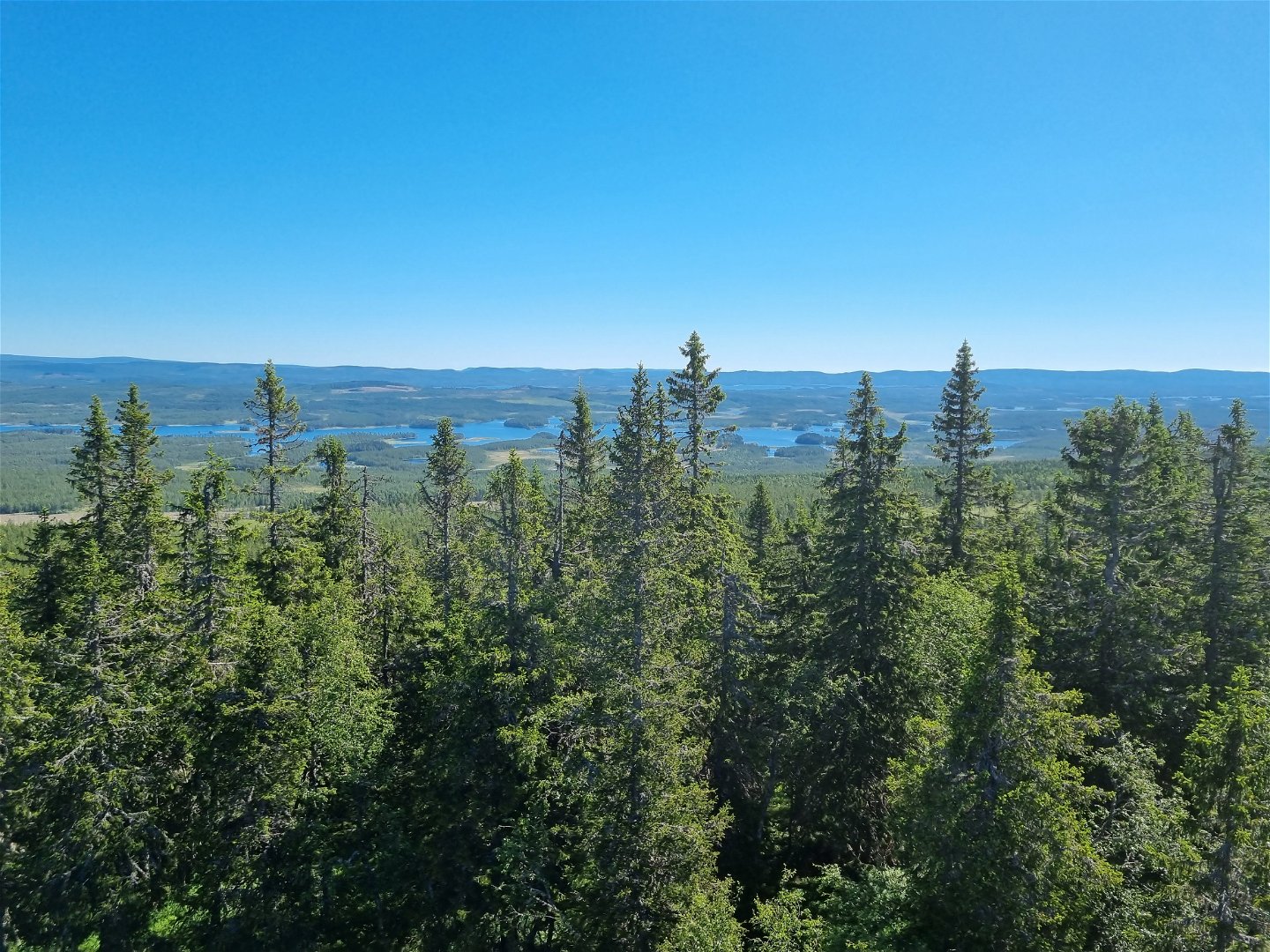
A hike to Värmland´s highest point with spectacular view.
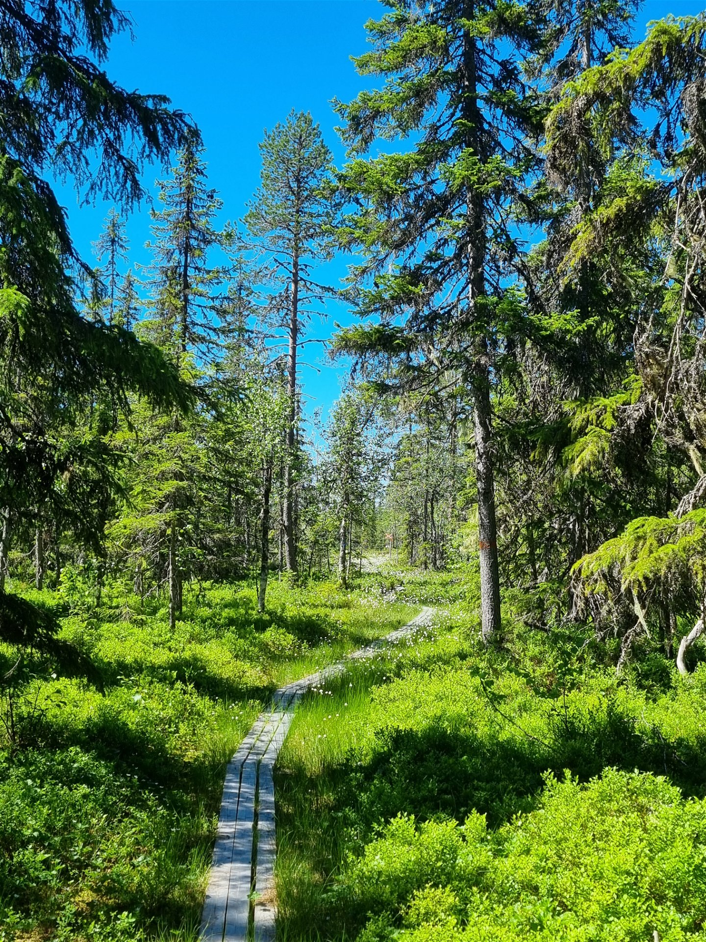
Granbergsrundan is a hiking trail that extends up and past Granberget, Värmland´s highest peak (700 meters above sea level), partially following the same route as the Nordvärmlandsleden.
The loop is about 8 km long, and you return to the parking area after completing the hike.
At the top of Granberget, there´s an observation tower with beautiful views and a vast outlook in all directions. Here, you can also enjoy your packed lunch at a picning table.
Activiteiten en faciliteiten
-
Hiking
Contact
Adres
Visit Torsby turist@torsby.se
Houd er rekening mee dat sommige teksten automatisch zijn vertaald.
Vragen en antwoorden
Stel een vraag aan andere Naturkartan gebruikers.


