-

En vandringspaus över Vågsjöån.
Foto: Visit Munkfors-Ransäter -

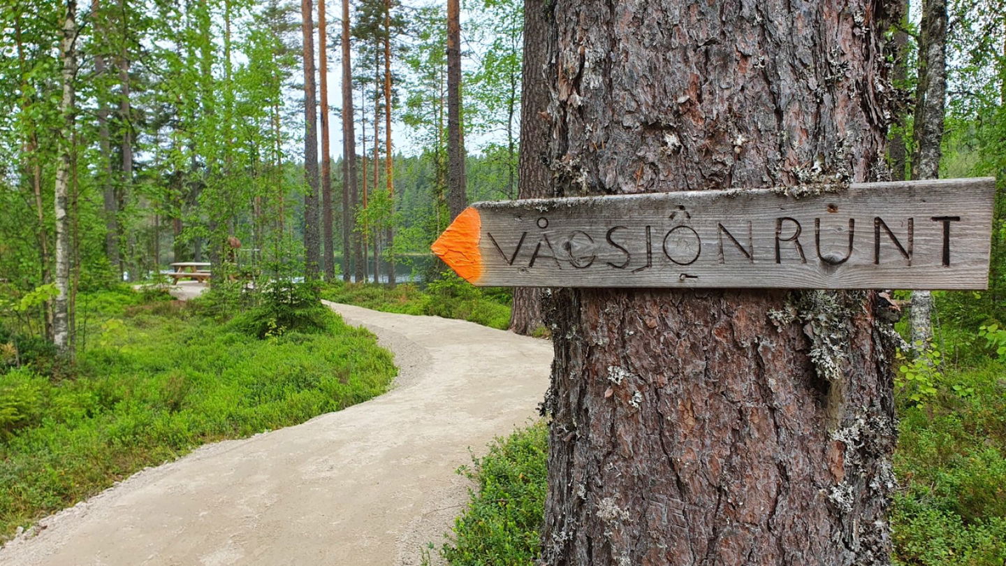
Vågsjörundan börjar med en tillgänglighetsanpassad sträcka fram till en rastplats med utsikt över Vågsjön.
Foto: Sandra Nilsson -

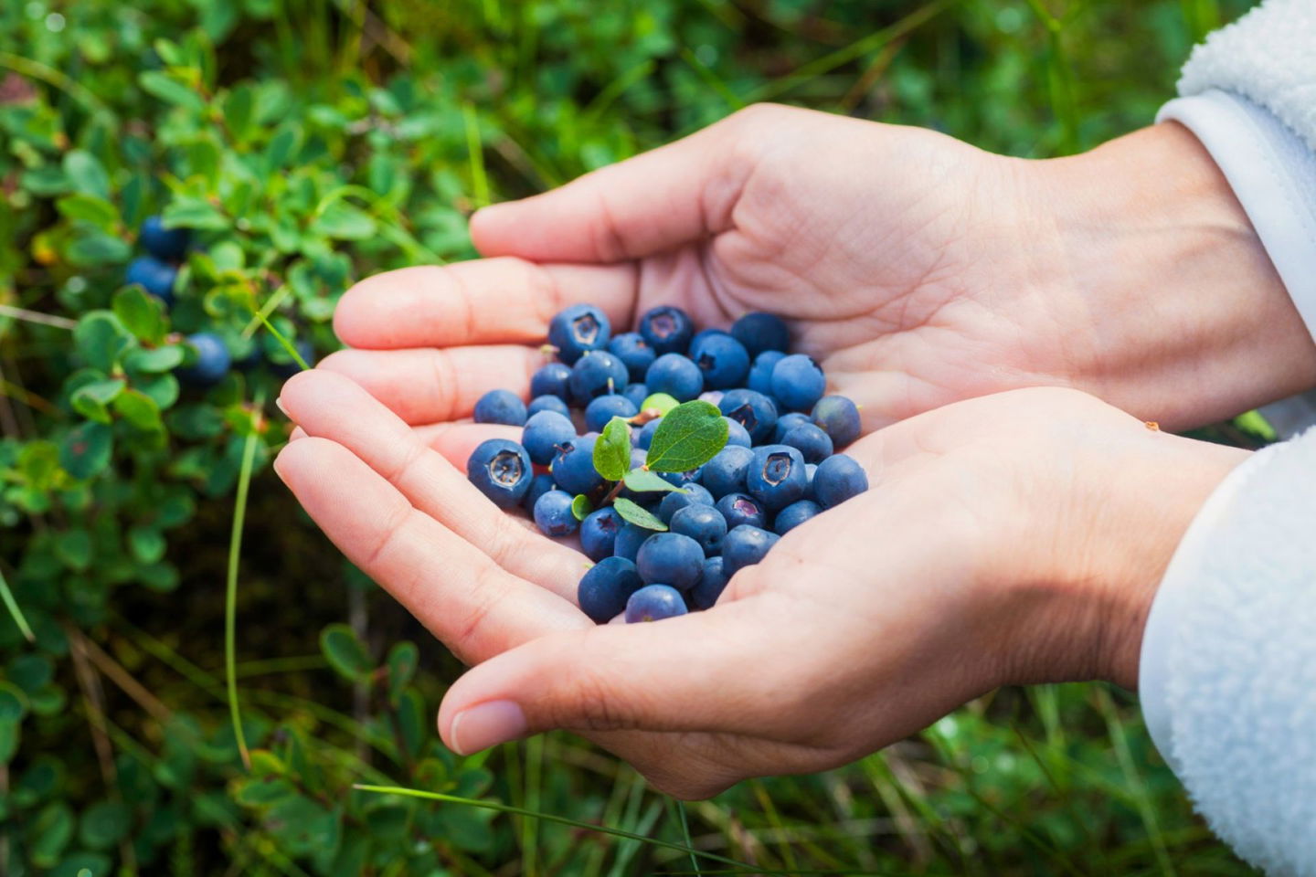
Gott om blåbär längs Vågsjörundan under säsong.
Foto: Mostphotos

Omschrijving
The hiking trail begins by the cabin at Vågsjön and takes you all the way around the lake.
Distance: 7,6 kilometers
Duration: approximately 2 hours and 45 minutes
Footwear: Hiking shoes
Mobile covarage: Exist
Color marking: Orange
About the hiking trail:
The trail begins by the cabin at Vågsjön and takes you south along the lake and in towards old pine forrest. At the south part of Vågsjön you will cross a bridge. After crossing the bridge the trail continues on the west side of the lake. You will pass a croft, then you go up and down a hill, the trail later follows the lake. The north point of the lake is mostly marshland but there are footbridges so you can get over the marshland dry-shod back to the cabin were you begun the trail.
The terrain is hilly with a couple of larger hills. Beautiful forrest that some times are open pine forrest that contain alot of lingonberries in the late part of summer. A beautiful view over lake Vågsjön when the path follows the lake on the west side.
Also:
By the cabin at Vågsjön you can find a grill and on the summer you can also find outdoor furniture. The cabin is situated by the swimingarea. The lake is fine to take a swim in but not to fish in. The fish in Vågsjön has high concentration levels of quicksilver due to acidification, therefore pregnant and young women are recommended not to eat the fish. You also have the possibility to rent the sauna, please contact the tourist office.
Directions:
From the Tourist Office, drive straight through the roundabout and past OKQ8 (gas station), cross the bridge and take a left towards Munkfors Förenings- och konferenscenter. Turn right onto the gravel road. Then drive a couple of kilometers up the hill. You will have the cabin on you right side by the parking area.
Nature:
The north part of the trail has a botanic interest with alot of different kinds of plants. In the late summer you can also find alot of lingon berries.
Some hiking tips:
- Bring a map.
- Good/proper footwear! Depending on weather, season and terrain the ground can be wet.
- Light packing that contains for example patches, mobile phone and fruit. And don’t forget the water!
- Think about the outdoor access rights. Make sure to know what you can and can not do.
Activiteiten en faciliteiten
-
 Hiking
Contact
E-mailadres
Kontakta VisitVärmland
Organisatie-logotype
![]()
Houd er rekening mee dat sommige teksten automatisch zijn vertaald.
Vragen en antwoorden
Stel een vraag aan andere Naturkartan gebruikers.
