Vindelforsarna
Natuurgebied
- Regio: Västerbottens län
- 6634.55 km van u vandaan
Acties
Omschrijving
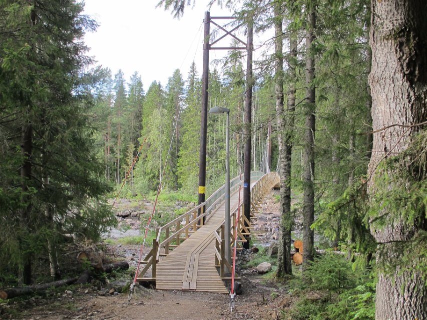
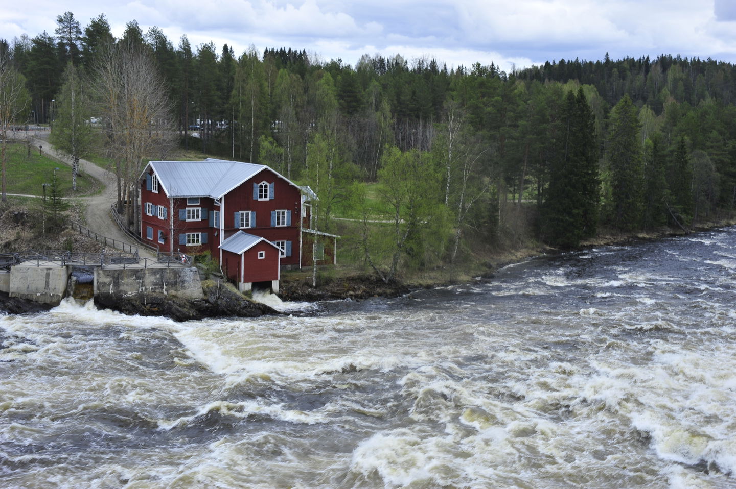
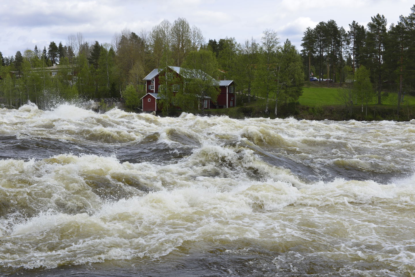
The Vindelälven river’s rapids cause the foam to spray up onto the wooden ramp near the mill. It is as though Vindelforsarna’s living rapids are providing energy to each and every person who stands or walks along the paths around them. This energy comes in very handy – there is a great deal to experience here.
Vindelälven river’s rapids landscape
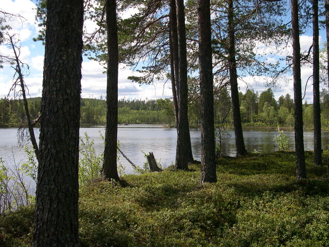
Vindelforsarna at Vindeln are some of the largest, most impressive rapids along the Vindelälven river. The rapids are at their magnificent best during the high water period in mid-June, but the area offers visitors phenomenal countryside all year round. The eastern side of the rapids is lined with beautiful steep, sandy banks, ravines and river terraces decked with deciduous forest. On the western side, the landscape is flatter and home to older coniferous forest. Common plants in the area include the snowline wintergreen and the one-flowered wintergreen, valerian, wood sorrel and the cinnamon rose. In the riverbank thickets you can find the moor-king lousewort.
By the banks there are some 30 relics of log driving activities, including caissons and booms.
Well-trodden path
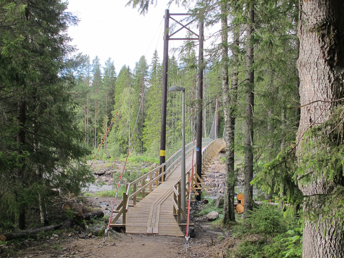
It takes around an hour to follow the marked path around the reserve. The path follows the riverbank on both sides, and there are rest areas and information. An ideal walk along our national river, the Vindelälven.
Activiteiten en faciliteiten
-
Natuurgebied
Toegankelijkheid
-
Nabij parkeerplaats
-
Nabij openbaar vervoer
-
Dichtbij toilet
-
Kinderwagen toegankelijk
Routebeschrijving
The reserve can be reached from both sides of the river. The best starting point is the mill area. Drive westwards through Vindeln on Route 363. Just before you leave the town, after the railway crossing, turn to the left and drive down towards the river.
Contact
E-mailadres
Länsstyrelsen Västerbotten
Organisatie-logotype
Houd er rekening mee dat sommige teksten automatisch zijn vertaald.
Vragen en antwoorden
Stel een vraag aan andere Naturkartan gebruikers.


