Västerås Rönnby Lista-spåret - MTB röd (vinter)
Mountain biking
- Regio: Västmanlands län
- 6740.99 km van u vandaan
Pad details
- Lengte 4.0 km
- Moeilijkheidsgraad Rood - veeleisend
Acties
Omschrijving
Note that this is a description of the Lista trail under winter conditions, where a detour of the trail avoids cross-country skiing tracks. For a description of the Lista trail during snowless conditions, please refer to the description HERE.
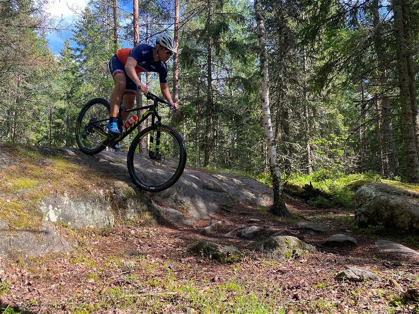
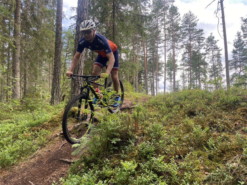
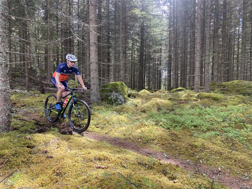
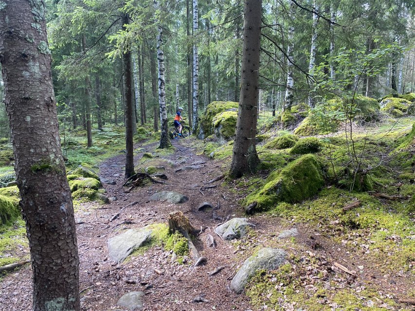
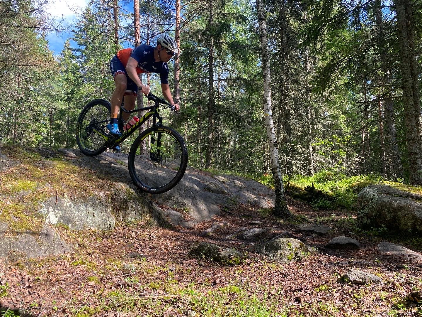
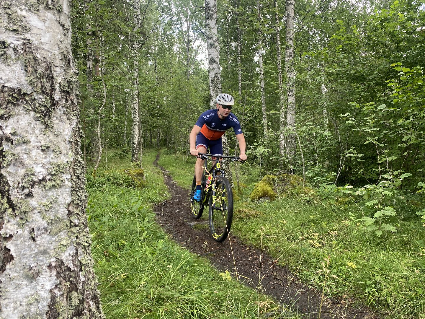
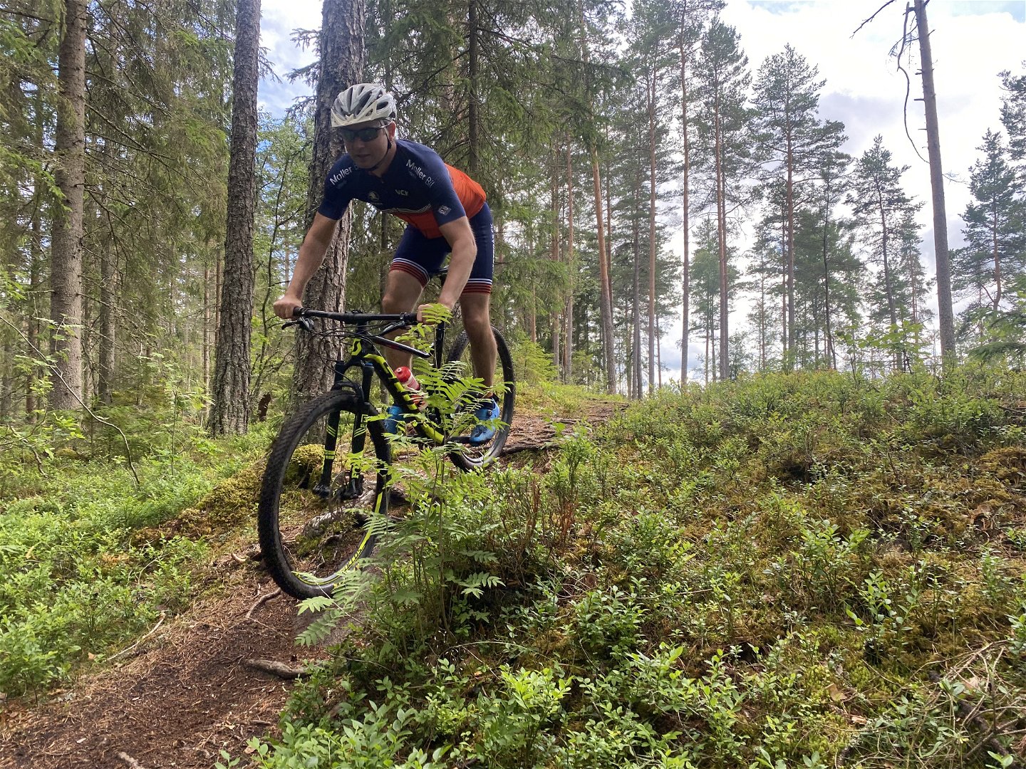
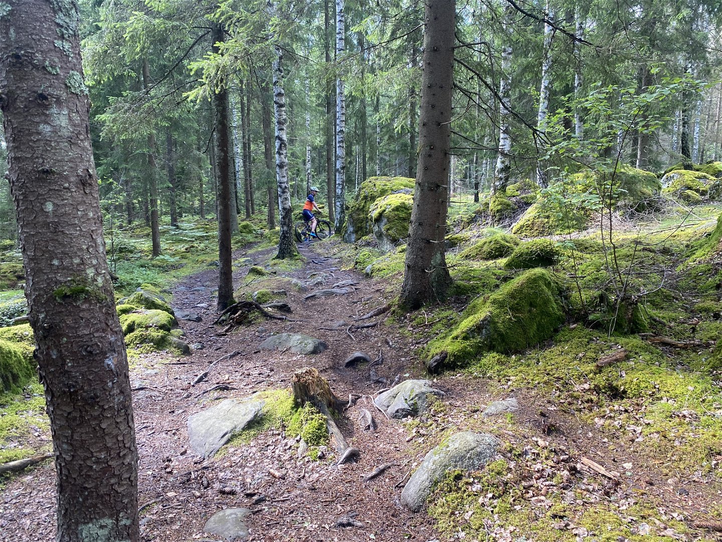
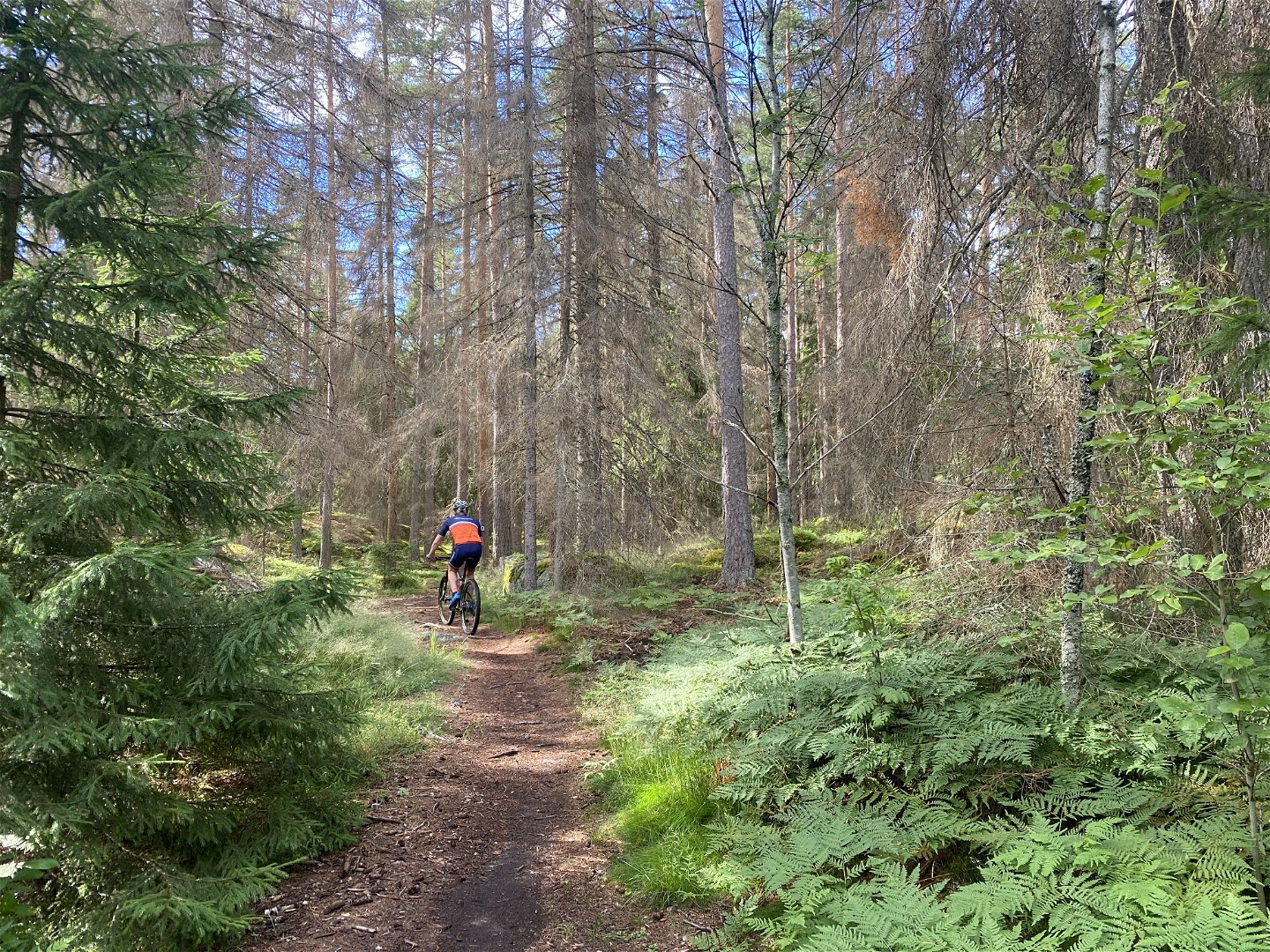
The Lista trail in Rönnby is a really fun MTB route through forest terrain in the outskirts of Västerås. Although the trail is rated as red in difficulty, it features a few rather technical sections. There are occasional drops that could be classified as black, but these are easily avoidable.
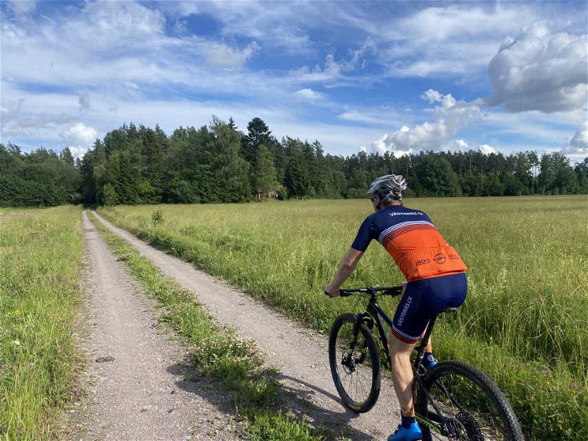
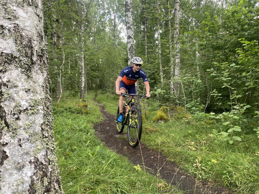
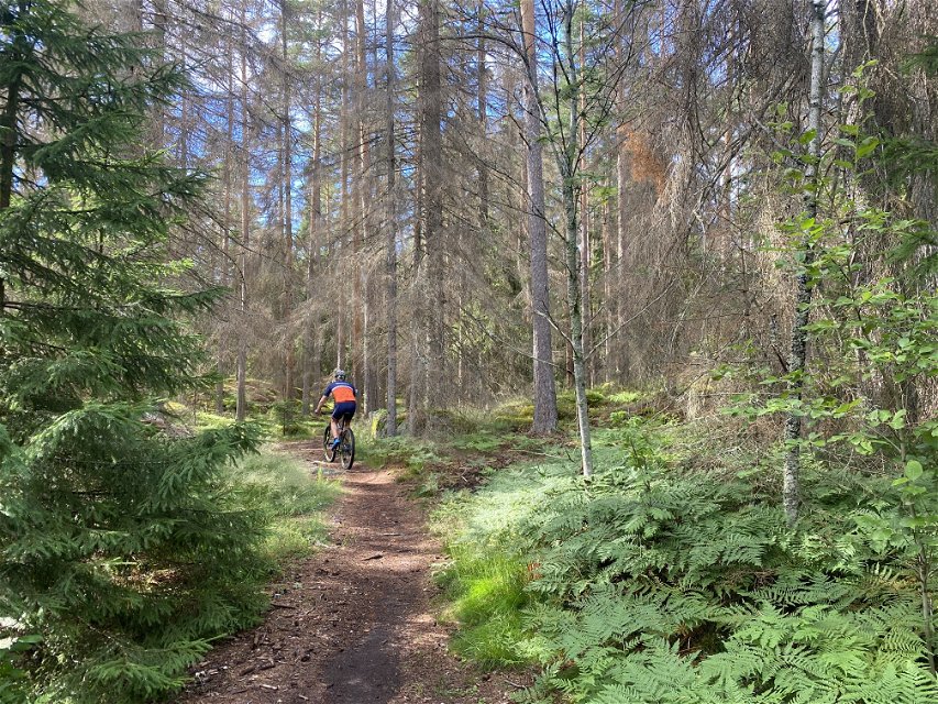
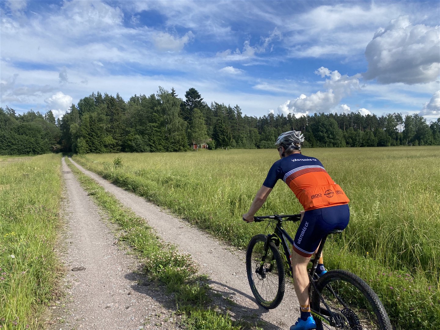
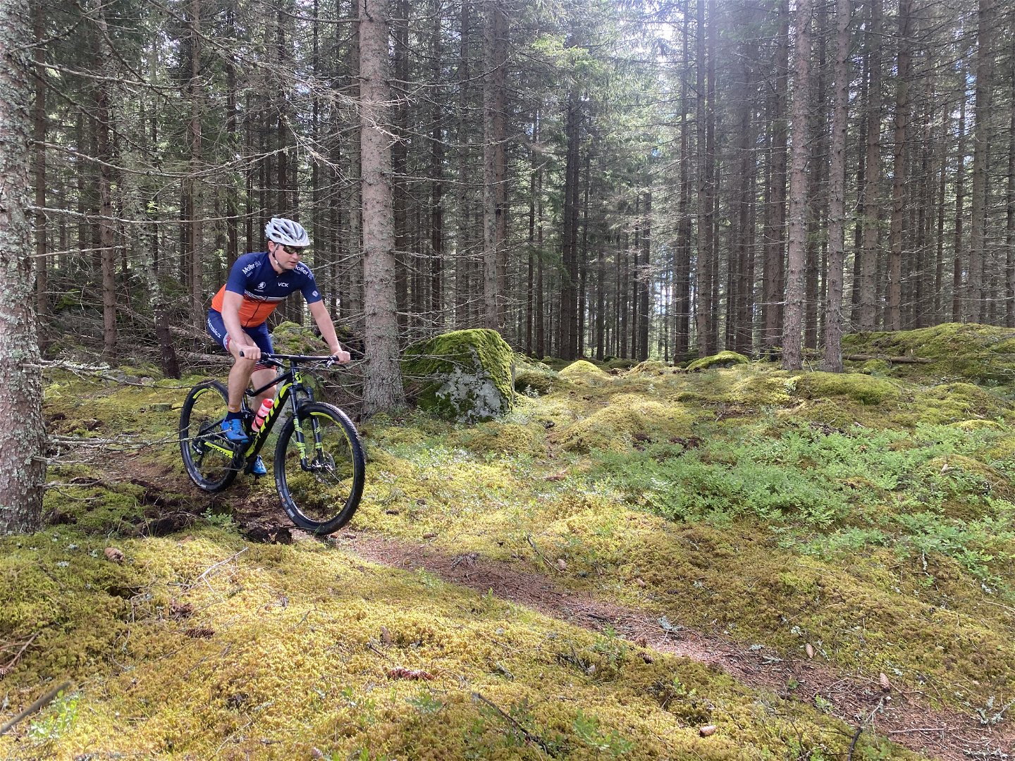
The majority of the trail follows natural forest paths in a beautiful forest. Some sections lead along gravel roads, providing scenic views of a rural landscape adorned with red cottages and green meadows. It's a rural environment close to the city.
Many mountain bikers combine the Rönnby trail area with the adjacent Rocklunda area to add some extra length to their route. The Rocklunda area is bustling with sports activities in indoor arenas and outdoor fields. It's also where you find the starting point of Västmanland's signature trail, Bruksleden. Together, the Rönnby and Rocklunda trail areas offer an excellent foundation for a great MTB weekend in Västerås.
For those who appreciate craft beer, the local brewery, Coppersmith's, has taken over the restaurant at Rocklunda. Consider planning an after-bike at Coppersmith's Beergarden & BBQ.
If you want to extend your stay, you can find accommodation and a bistro at Hem till gården, within cycling distance, offering a stay in a rural environment in the heart of the city.
Activiteiten en faciliteiten
-
Mountain biking
Feiten
The trails in Rönnby Forest are actively maintained by Västerås Cykelklubb (Västerås Cycling Club).
Oppervlakte
Mainly natural forest trails (single-track). Approximately 20% of the trail follows gravled roads.
Heuvels
Mildly hilly
Vegetatie
The overall difficulty level on this trails is RED, but some drops occur the that could be seen as advanced (black).
Parkeren
Parking is available at: Önstavägen 1, 722 43 Västerås
Downloads
Contact
E-mailadres
Organisatie-logotype

Houd er rekening mee dat sommige teksten automatisch zijn vertaald.
Vragen en antwoorden
Stel een vraag aan andere Naturkartan gebruikers.

