

Höglandsleden etapp HÖ19 Tomtabacken - Hok - En del av Smålandsleden
Wędrówki piesze
- Województwo: Jönköpings län
- 6746.27 km od Ciebie
Szczegóły dotyczące szlaku
- Długość 20.0 km
Akcje
Opis
Stage HÖ19 is about 20 km long and runs between Tomtabacken and Hok.
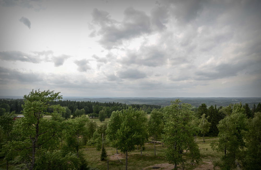
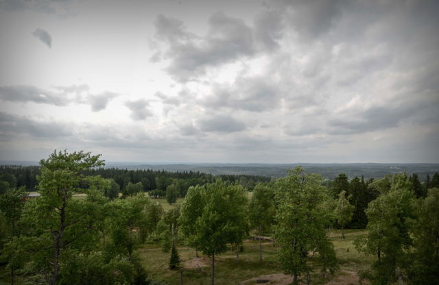
At the eastern entrance to the stage is Tomtabacken, which at 377 meters above sea level is the highest point in Småland, the South Swedish Highlands and Götaland. There is a shelter, an accessible dry toilet and parking. Do not miss the the viewing tower at the top, where in clear weather you can see many miles over the highlands.
Throughout your hike along stage HÖ19 you pass through a varied
Småland landscape with sparkling lakes, deep forests and fine views.
At the trail's western entrance you will reach Hooks Manor with its large golf course, hotel and spa. Just before Hooks Manor you can turn off towards the community of Hok, where there is a train connection.
Nässjö's high location in the Småland highlands provides snowy winters and starry nights. Here we draw strength and inspiration from nature.
Welcome to a different Småland.
Działania i udogodnienia
-
Wędrówki piesze
Kontakt
Adres e-mail
Logotyp organizacji
![]()
Należy pamiętać, że niektóre z tych tekstów zostały przetłumaczone automatycznie.
Pytania i Odpowiedzi
Zadaj pytanie innym użytkownikom Naturkartan.
Recenzja
Może zainteresują Cię również
