Kevershäll
Wędrówki piesze
- Województwo: Kalmar län och Öland
- 6881.81 km od Ciebie
Szczegóły dotyczące szlaku
- Długość 2.5 km
- Trudność Czerwony - wymagający
Akcje
Opis
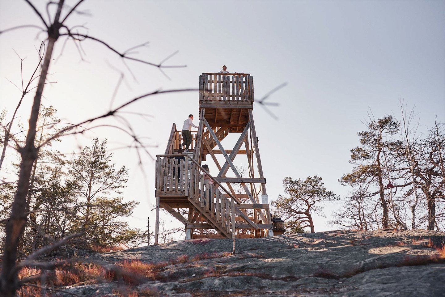
The obvious target when you get to Kevershäll is the lookout tower on top of the plateau. On a clear day you can see Öland on the other side of Kalmar Strait, with the legendary island Blå Jungfrun in the foreground. There are also plenty of myths surrounding Kevershäll.
The walking trail starts at the parking area; follow the red troll hats! The longest trail is 2.5 kilometres. If you have difficulties walking, some parts can be a bit tricky.
Mythical place
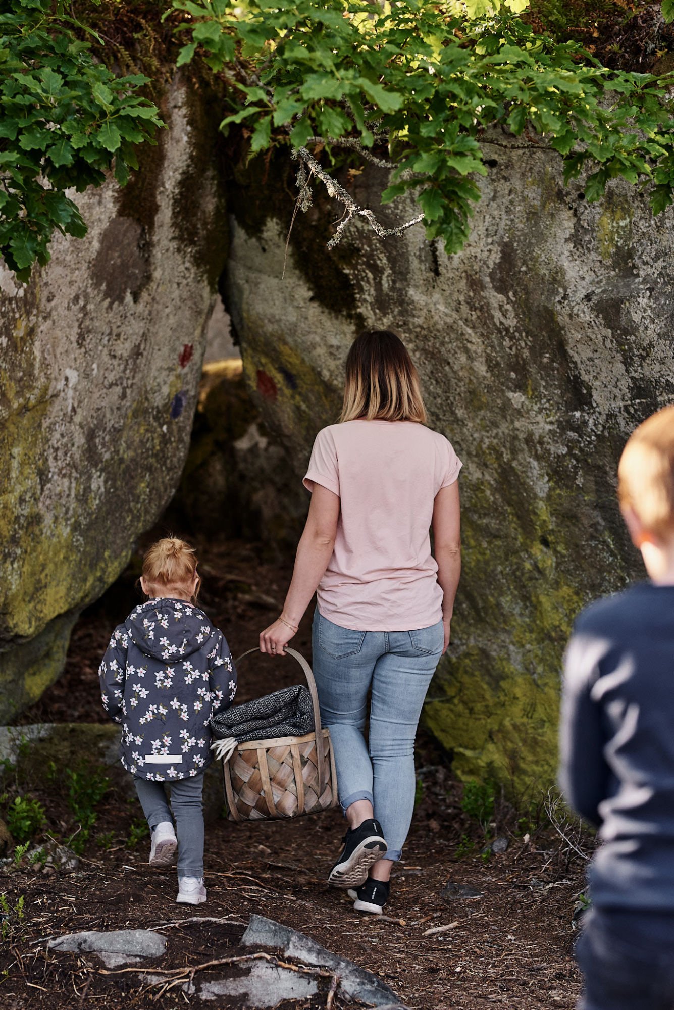
A peak from where you see the whole area, gigantic boulders, and small caves – no wonder there are so many myths and stories about Kevershäll! According to legend the rock has been inhabited by giants, trolls, and other fairy-tale figures. It is also said to have been the home of a tailor, who lived in a cave on the northern side of the plateau.
Forest walk
With its 63 metres above sea level, Kevershäll is the highest point in the area. Coniferous forest grows in the lower parts of the plateau. Towards the top, pine replaces spruce. Some of the dead pines have become beautiful snags with twisted trunks.
Forest inhabitants
Crested tit, great spotted woodpecker, and goldcrest are some of the birds that you may encounter in the forest.The latter is Sweden’s smallest bird and therefore difficult to spot. But if you hear a song that sounds like a squeaky bicycle, the goldcrest is nearby!
Działania i udogodnienia
-
Wędrówki piesze
-
Barnäventyr
Kontakt
Adres e-mail
Mönsterås turistbyrå
Należy pamiętać, że niektóre z tych tekstów zostały przetłumaczone automatycznie.
Pytania i Odpowiedzi
Zadaj pytanie innym użytkownikom Naturkartan.


