Västra markslingan, Ottenby
Wędrówki piesze
- Województwo: Kalmar län och Öland
- 6931.37 km od Ciebie
Szczegóły dotyczące szlaku
- Długość 3.4 km
Akcje
Opis
Hike out to the sea in the west. Here you can meet the beauty of the sunset at the Orminge tube.
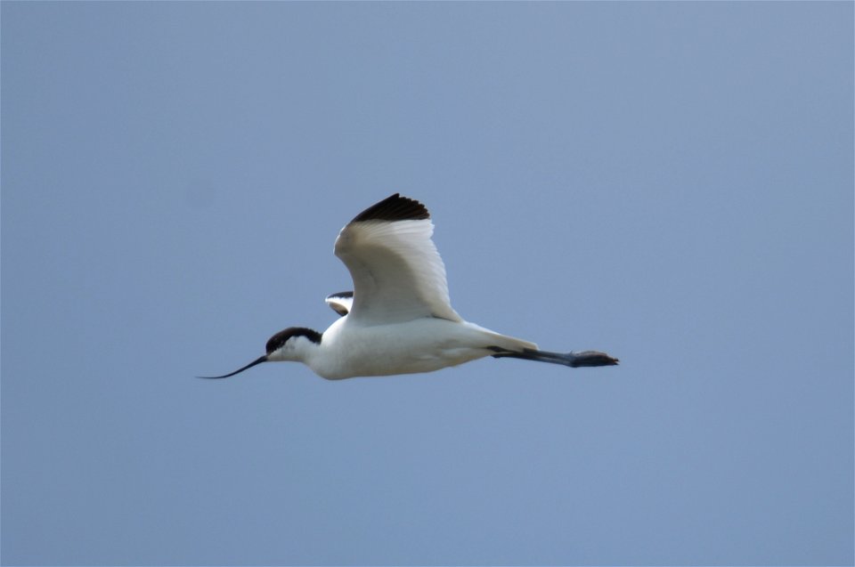
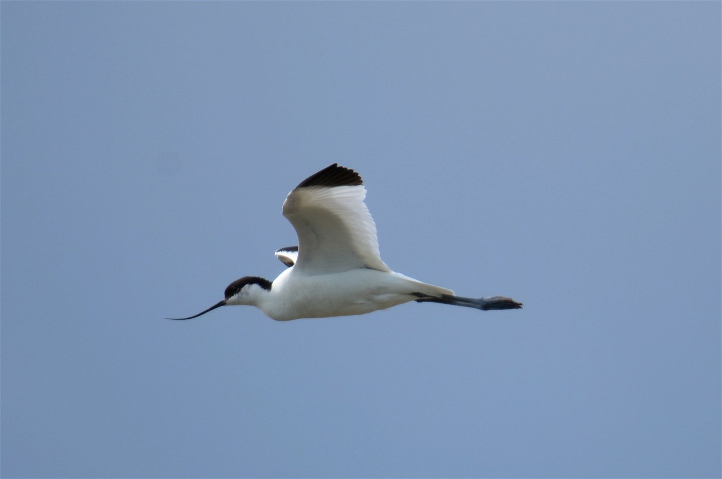
Few hiking trails take you back into Ottenby's rich history in the same way as the Western Trail. The song of the Great Spoonbill echoes across the expanses, the island thicket stretches upwards and the old burial sites bear witness to times gone by.
The hike starts at Kungsstenarna. These stones mark a burial ground from the Iron Age. Then you make your way further out towards the coast past stone walls and grazing animals. Once you reach the Orminge pipeline, a wonderful view awaits you. The Långe Jan lighthouse towers in the south. There are also historical remains at Orminge Rohr. This place was the seat of a large farming clan during the Iron Age. The marker that stands here today was built on the old burial mound.
The geology enthusiast can also find plenty to look at along the Western Trail. Two layers of bedrock can be seen in the rocky slope down to the sea. The lighter limestone and the darker alum shale.
Contact: the County Administrative Board
Działania i udogodnienia
-
Wędrówki piesze
Dostępność
-
Blisko parkingu
Wskazówki dojazdu
Park at Södra lundparkingingen and walk west towards Kungsstenarna. Follow the red markings.
Kontakt
Adres
Adres e-mail
Matheus Tholin
Logotyp organizacji

Należy pamiętać, że niektóre z tych tekstów zostały przetłumaczone automatycznie.
Pytania i Odpowiedzi
Zadaj pytanie innym użytkownikom Naturkartan.


