Lenhovda elljusspår
Elljusspår
- Województwo: Kronobergs län
- 6829.12 km od Ciebie
Szczegóły dotyczące szlaku
- Długość 1.9 km
- Trudność Niebieski - średni
Akcje
Opis
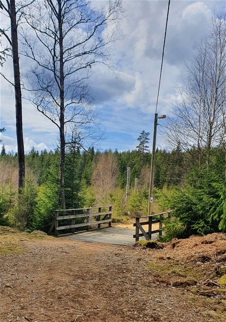
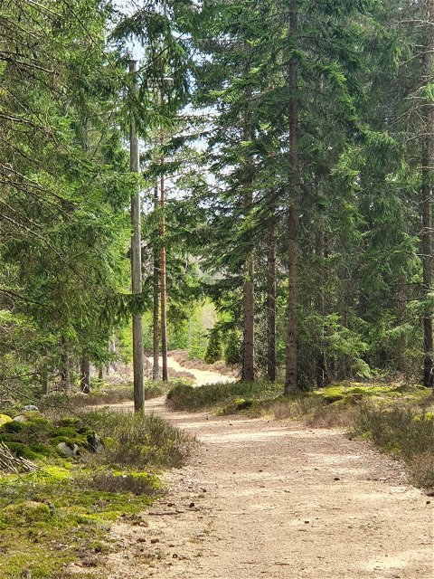
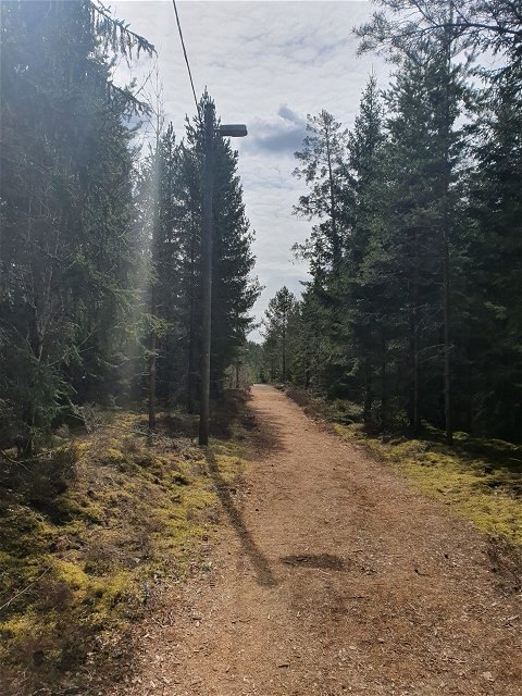
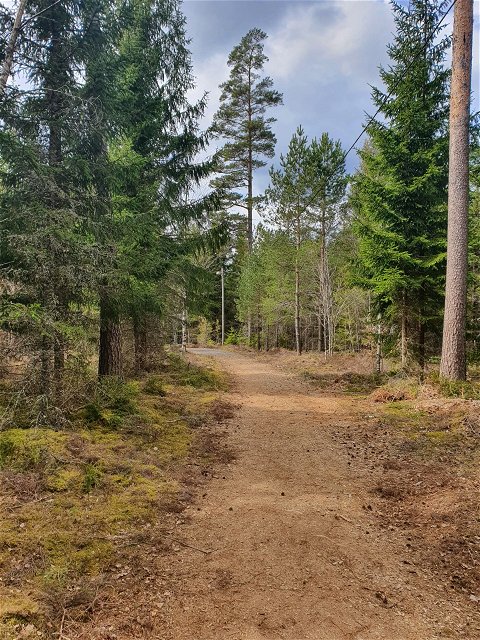
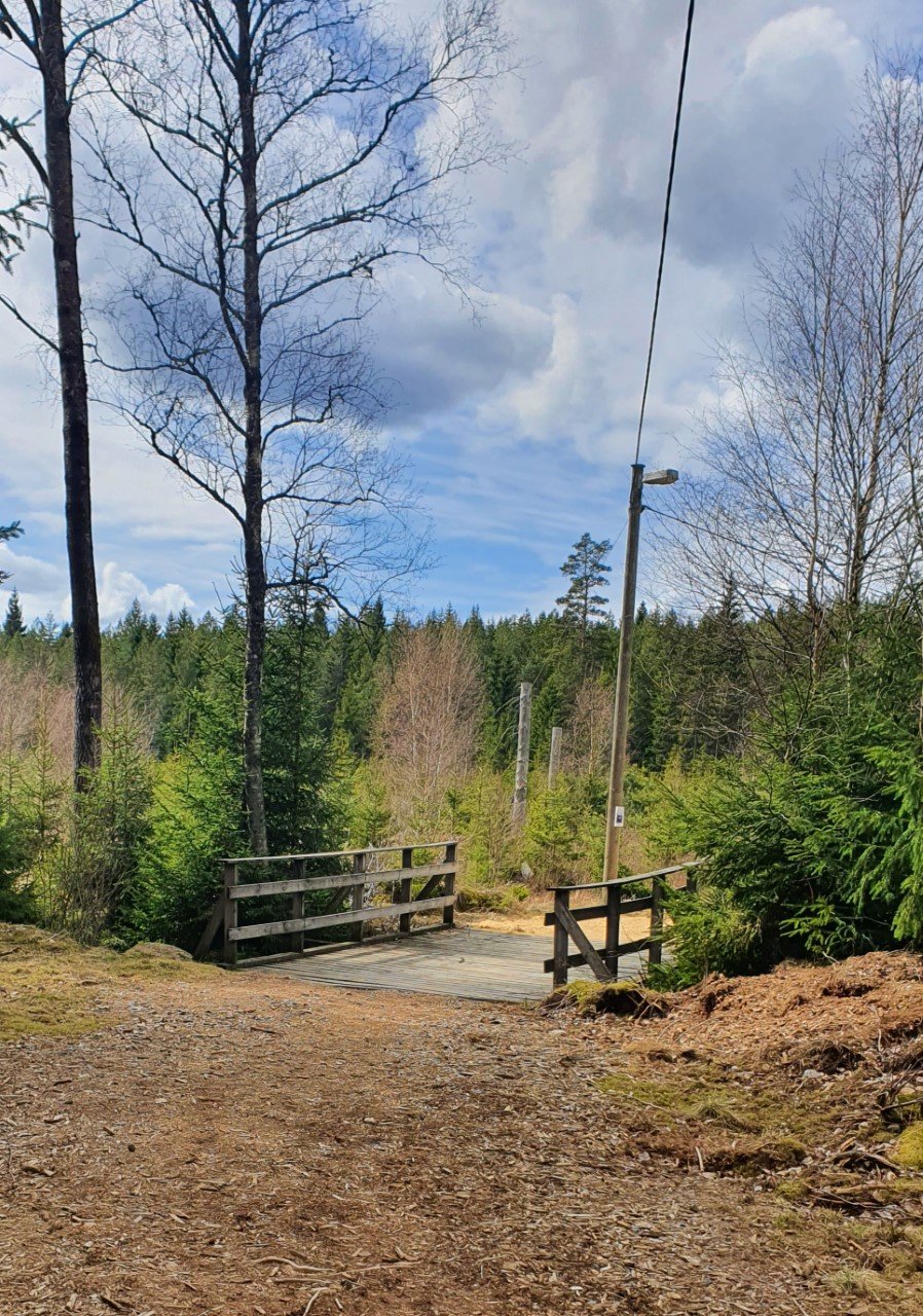
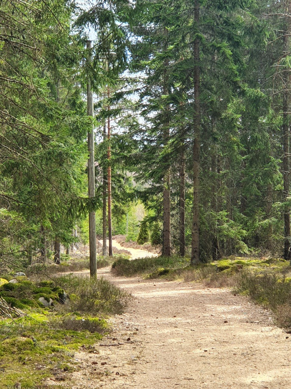
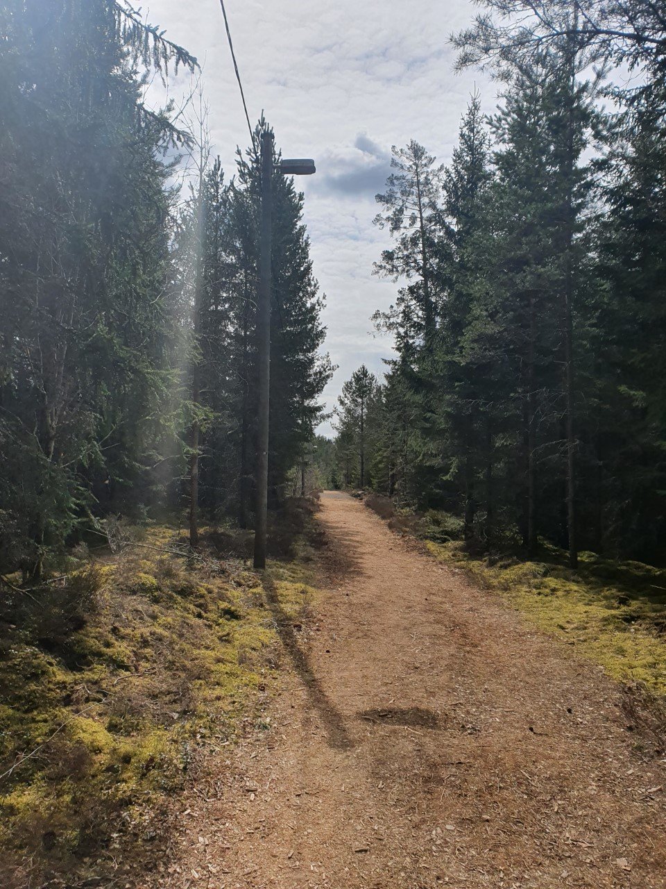
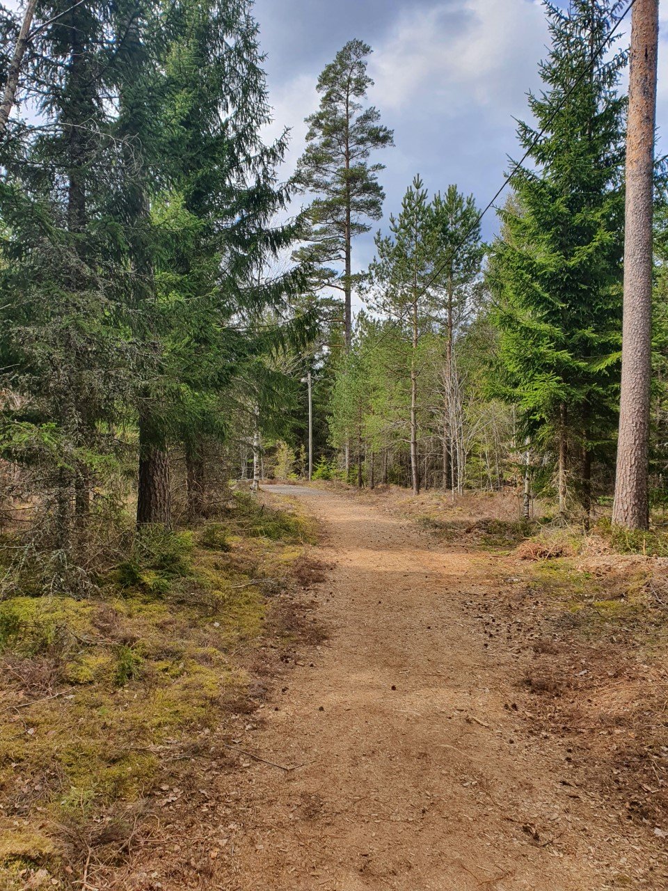
The lighted trail in Lenhovda is about 2 km long. The trail is quite flat, and the terrain is open, except for the middle and the end of the trail that goes into the woods.
Lenhovdas IF is responsible for this track.
Działania i udogodnienia
-
Jazda na rowerze
-
Bieganie
-
Narciarstwo
-
Promenad
-
Elljusspår
Dostępność
-
Blisko parkingu
-
Dostęp dla wózków dziecięcych
Roślinność
Mostly open terrain.
Parking
There's a parking space in connection to the trail.
Wskazówki dojazdu
The trail is a bit south of Lenhovda, next to road 31.
Kontakt
Adres e-mail
Kultur- och fritidsavdelningen i Uppvidinge kommun
Należy pamiętać, że niektóre z tych tekstów zostały przetłumaczone automatycznie.
Pytania i Odpowiedzi
Zadaj pytanie innym użytkownikom Naturkartan.

