-
-
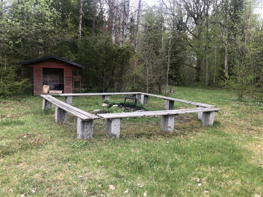
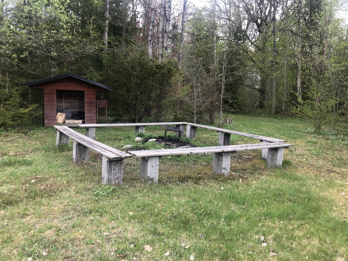
Grillplats vid start och mål
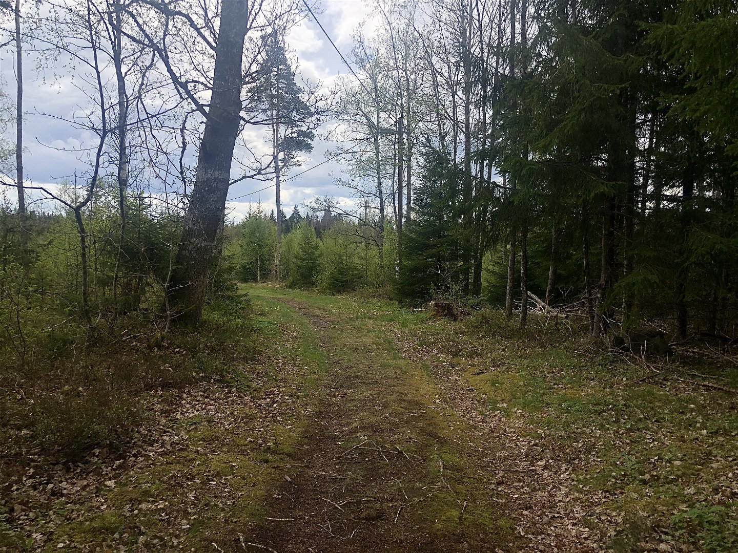

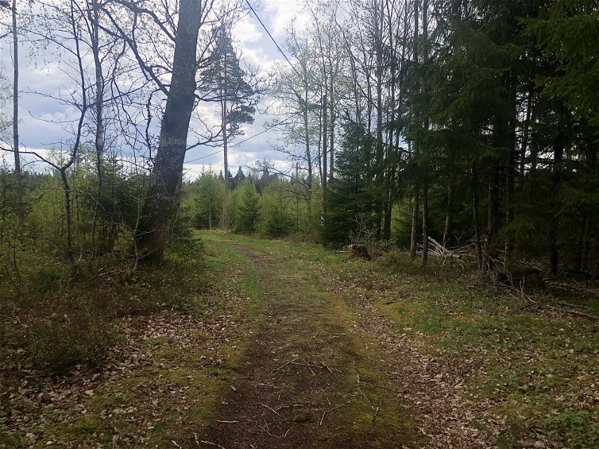
Marhults elljusspår
Elljusspår
- Województwo: Kronobergs län
- 6824.05 km od Ciebie
Szczegóły dotyczące szlaku
- Długość 2.0 km
- Trudność Niebieski - średni
Akcje
Opis
Marhult’s floodlit trail is on the outskirts of the village. It’s mostly an open landscape but in the middle will you pass through a forest.
Działania i udogodnienia
-
 Mountainbike
-
 Bieganie
-
 Narciarstwo
-
 Promenad
-
Elljusspår
Powierzchnia
Gravel and forests roads.
Parking
Park on Slättebolsvägen.
Wskazówki dojazdu
Follow the sign towards Slättebol from road 31. After about 500 metres is there a small road on the left.
Kontakt
Adres e-mail
Kultur- och fritidsavdelningen i Uppvidinge kommun
Pytania i Odpowiedzi
Zadaj pytanie innym użytkownikom Naturkartan.
