-

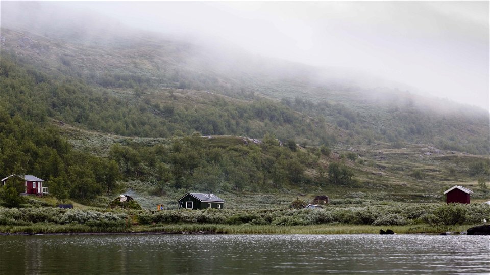
Zdjęcie: Mikael Svensson/Johnér -
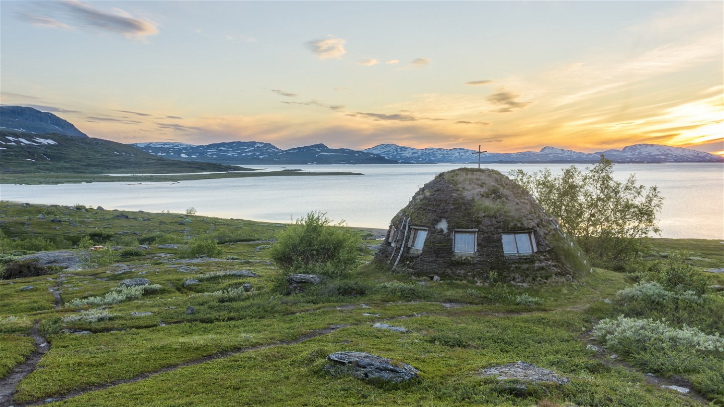
Zdjęcie: Carl-Johan Utsi -

Zdjęcie: Göran Wallin

Árasluokta-Stáloluokta, Nordkalottleden och Padjelantaleden
Wędrówki piesze
- Województwo: Norrbottens län
- 7597.35 km od Ciebie
Szczegóły dotyczące szlaku
- Długość 10.0 km
Akcje
Opis
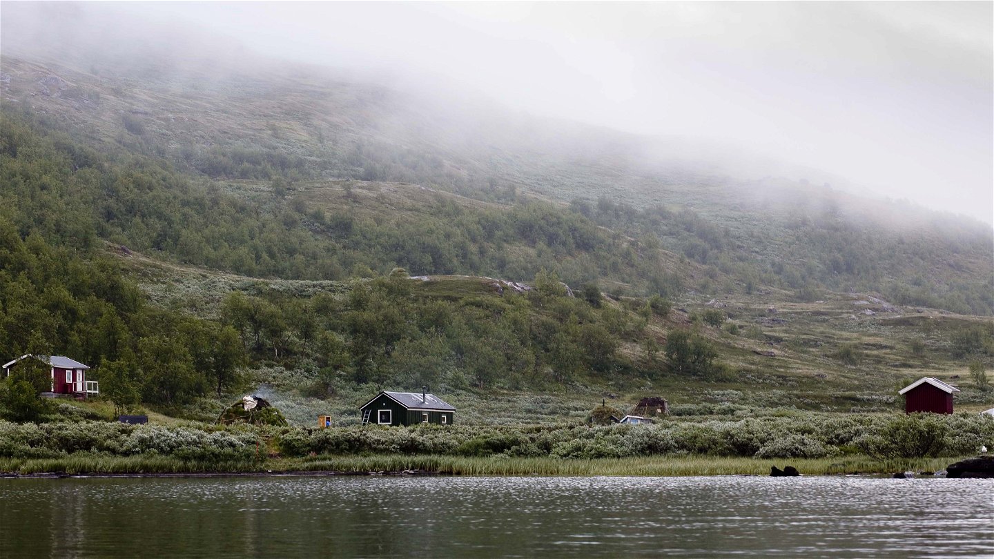
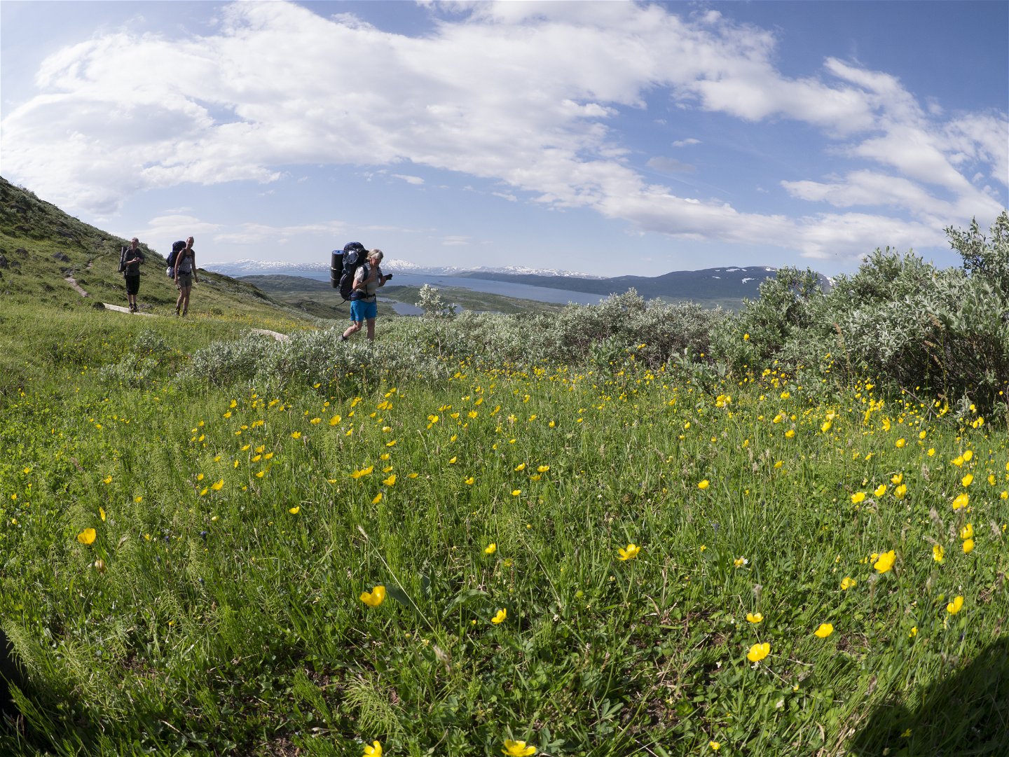
The stretch is among the most beautiful on the Padjelanta Trail. You begin the hike by crossing the suspension bridge over Árasjåhkå stream and passing a reindeer fence. Now begins a climb in stages of the north slope of Stuor Dijdder mountain. The view of the biggest lake in the national park, Virihaure, is magnificent. The mountain slope is rich in lime and species growing along the trail include Lapland Rosebay, Arctic White Heather and Mountain Avens. The trail passes small ravines, rising and descending quite a lot. After rounding Stuor Dijdder, the trail descends to Dijddervágge Valley and some small lakes. A hilltop is passed and into view comes Stáloluokta Bay, and again the beautiful view of Lake Virihaure and Sulitelma. The trail crosses a wet area with plankways. Here you may see Moor-King growing. The trail passes the first building of the extended Sámi settlement of Stáloluokta (Tuorpon Sámi community), when 1 km remains to the tourist cabins.
There are good tent pitches at the lakes in Dijddervágge.
Duration: 3-4 hours
Działania i udogodnienia
-
Wędrówki piesze
Powierzchnia
Easily-hiked surface, but wet in places with a number of plankways.
Kontakt
Adres e-mail
Länsstyrelsen Norrbotten
Logotyp organizacji
![]()
Należy pamiętać, że niektóre z tych tekstów zostały przetłumaczone automatycznie.
Pytania i Odpowiedzi
Zadaj pytanie innym użytkownikom Naturkartan.
