-

Zdjęcie: Carl-Johan Utsi -

Zdjęcie: Carl-Johan Utsi -

Zdjęcie: Carl-Johan Utsi -

Zdjęcie: Göran Wallin
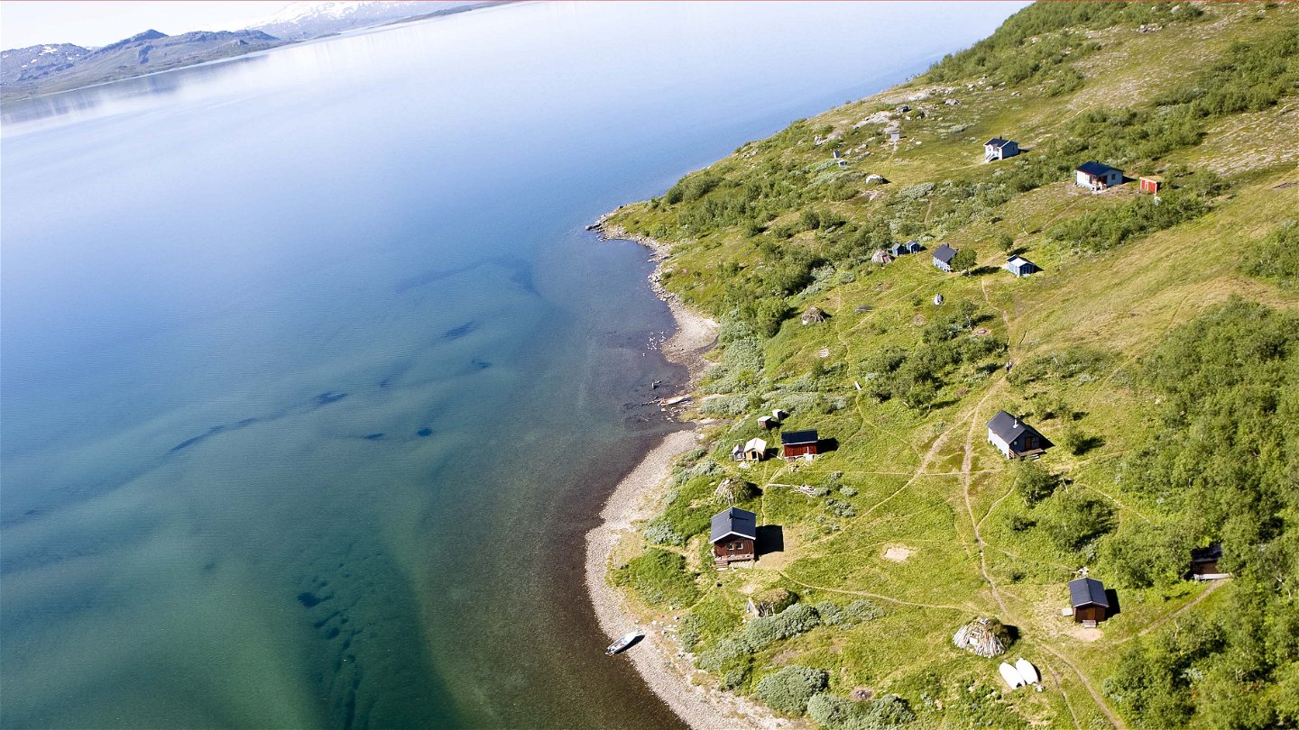

Stáloluokta-Stáddájåhkå, Nordkalottleden
Wędrówki piesze
- Województwo: Norrbottens län
- 6351.47 km od Ciebie
Szczegóły dotyczące szlaku
- Długość 12.0 km
Akcje
Opis
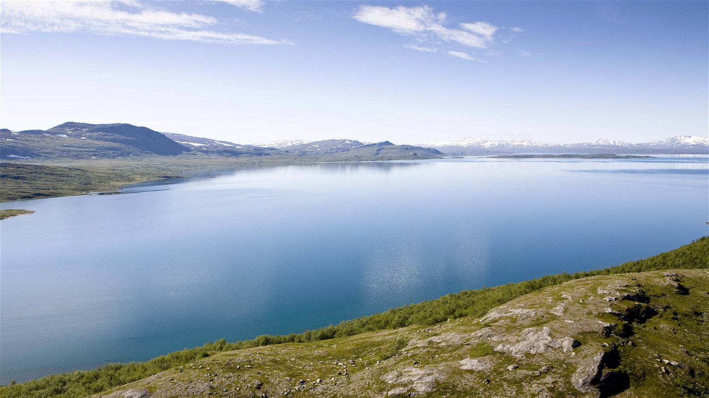
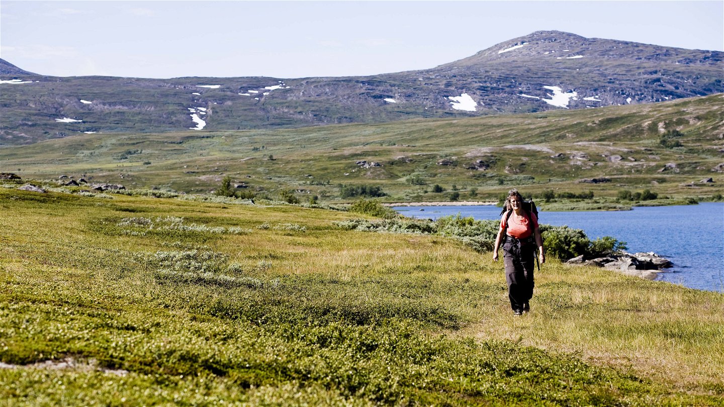
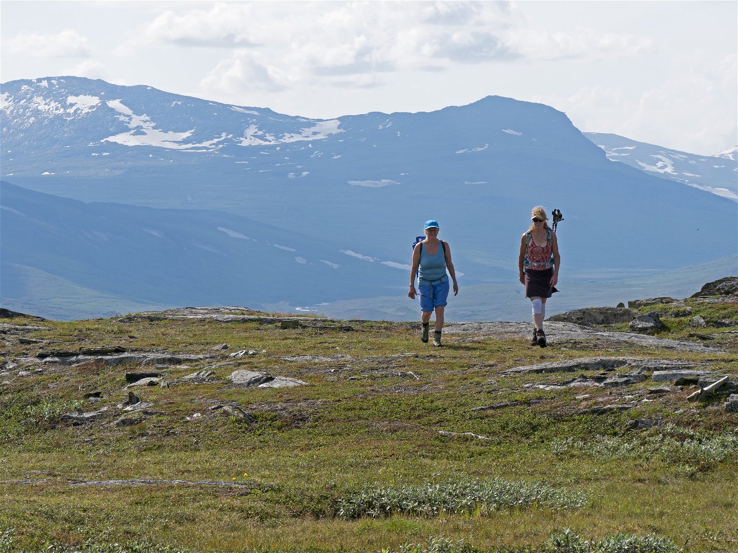
From the cabins, hike south, over a suspension bridge and past a stand of birch forest. The hike continues up a slope. Just before you reach the top, the trail divides and the Arctic Trail turns off towards Stáddajåhkå. For almost the entire stretch, you have a view of the Sulitelma massif. After the height, the trail passes a large fen, a favourite habitat of wetland bird species. The rest of the stretch is dominated by open, easily-hiked moorland in a broad valley. Viejejåhkå stream is crossed via a suspension bridge, high above the rapids. In front of you, you can see traces from the Ice Age in the form of esker and gravel heaps. The trail then passes through a long stretch of willow brush along the slope of Jållevárre mountain. The trail is good and there are plankways. Now for the best part of the hike. You walk across large, flat grasslands with many vascular plants as far as Jiegŋáffojåhkå stream, which you wade. Wading can be difficult in the beginning of summer. The last part crosses wet ground with osiers, and follows Lake Gáhpesluoppal.
There are good tent pitches at the streams Viejejåhkå and Jiegŋáffojåhkå.
Duration: 3-5 hours
Działania i udogodnienia
-
Wędrówki piesze
Powierzchnia
Easily-hiked surface consisting of mountain moor and grasslands.
Kontakt
Adres e-mail
Länsstyrelsen Norrbotten
Logotyp organizacji
![]()
Należy pamiętać, że niektóre z tych tekstów zostały przetłumaczone automatycznie.
Pytania i Odpowiedzi
Zadaj pytanie innym użytkownikom Naturkartan.
