Motalarundan terränglöpningsspår (8 km) i Fålehagen
Bieganie
- Województwo: Östergötlands län
- 6730.85 km od Ciebie
Szczegóły dotyczące szlaku
- Długość 8.0 km
Akcje
Opis
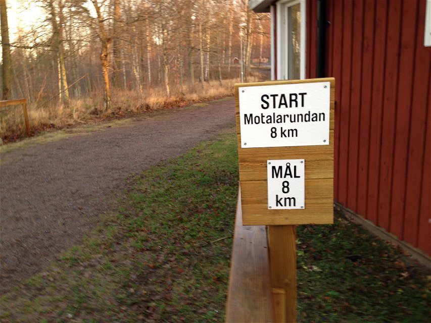
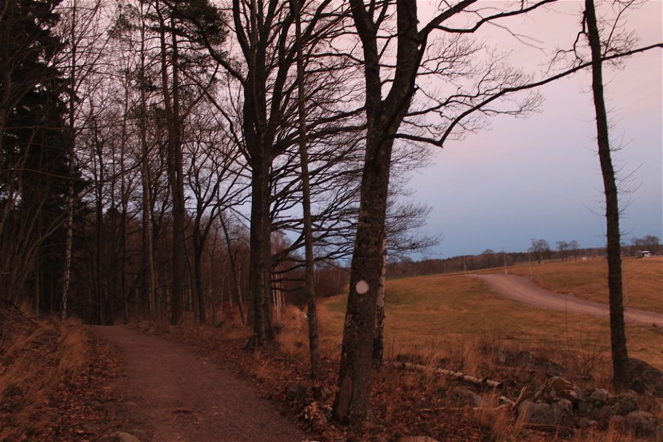
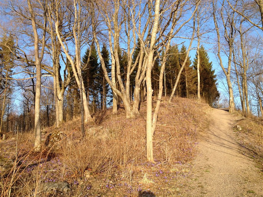
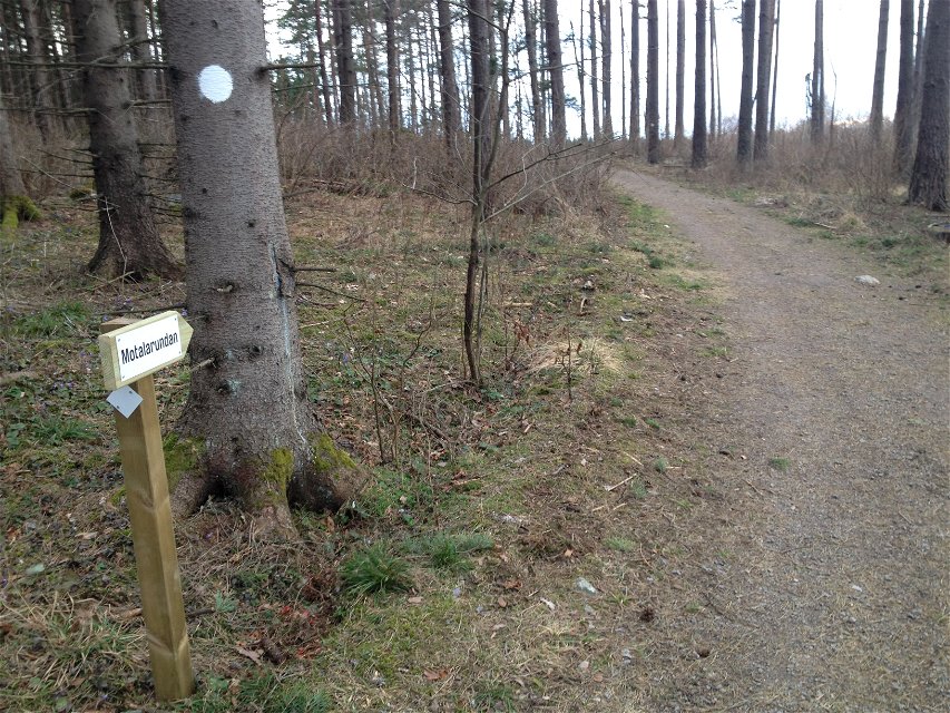
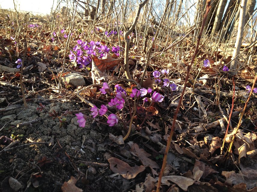
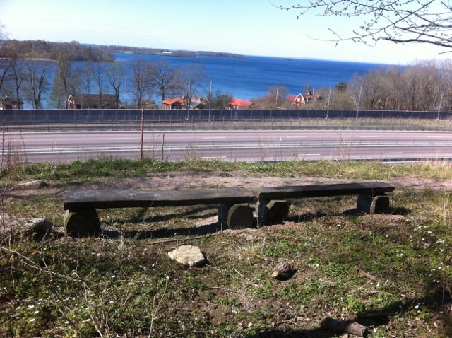
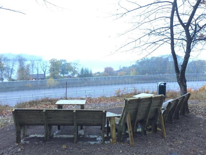
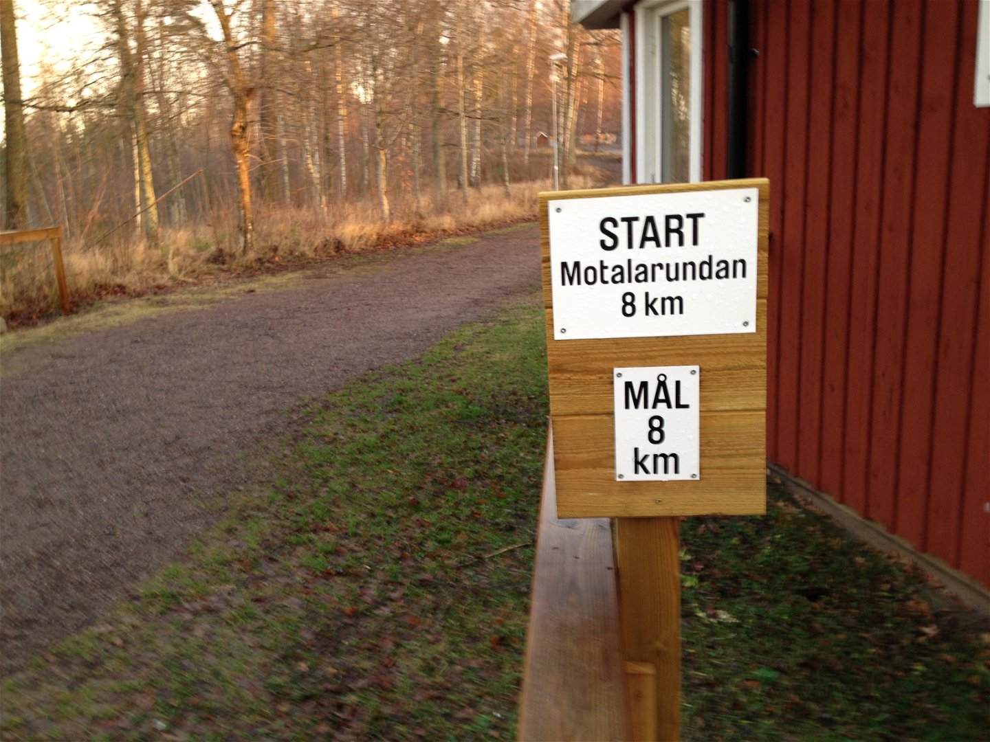
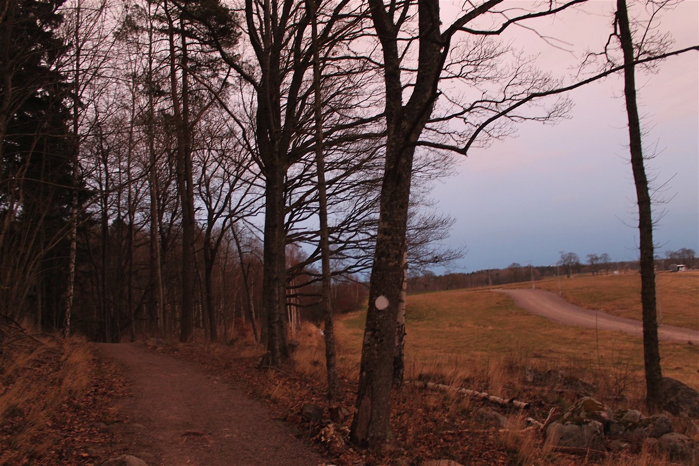
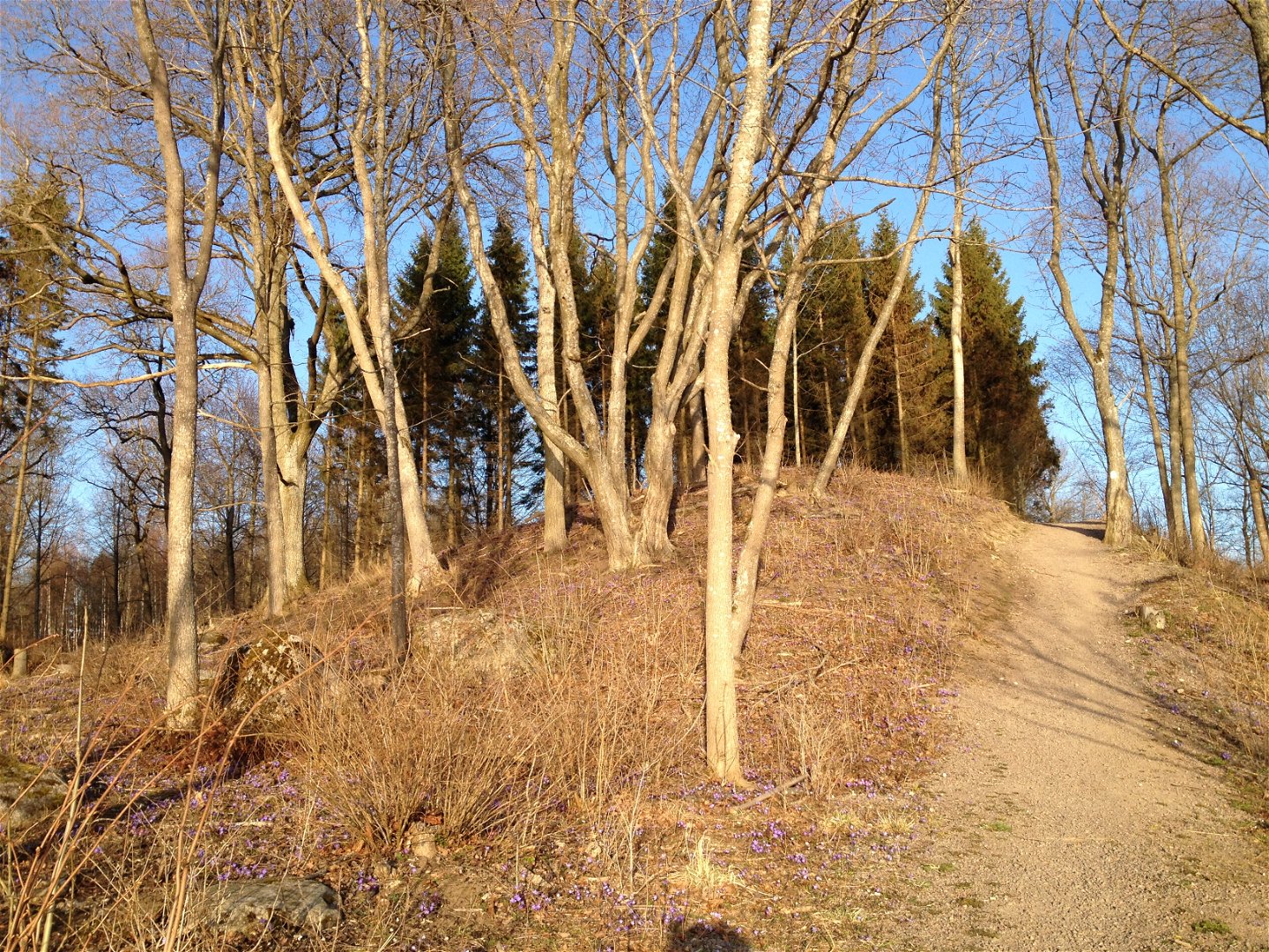
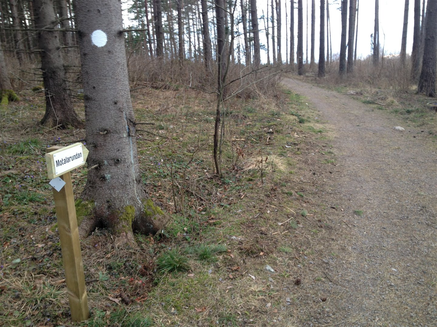
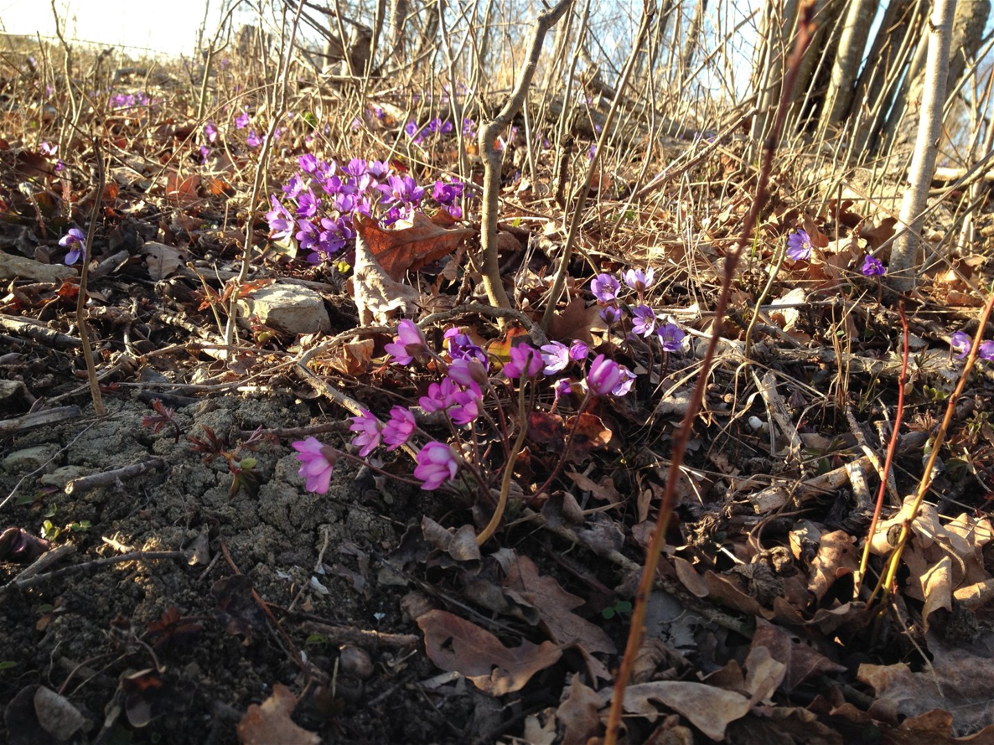
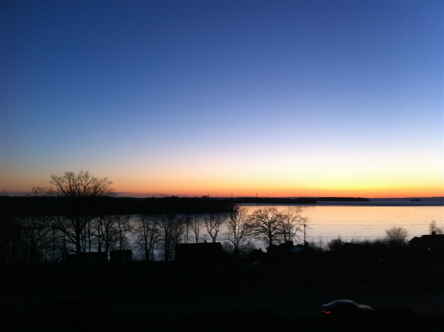
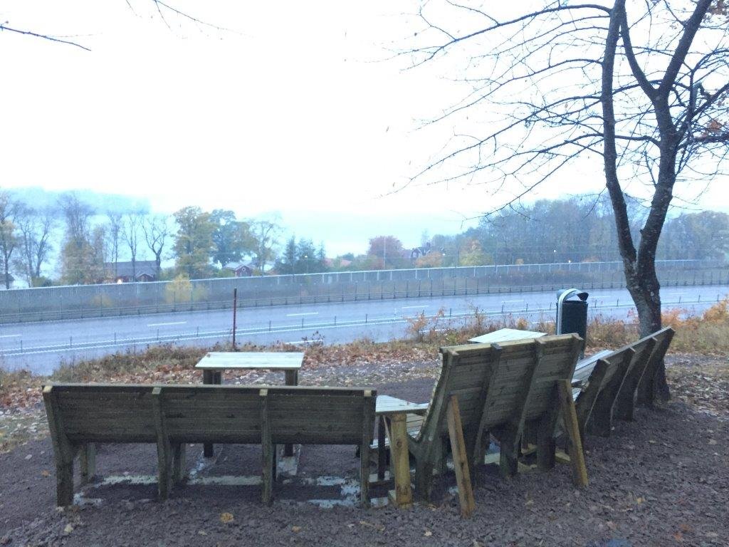
Motalarundan is an approximately 8 km long cross-country trail in Fålehagen with white markings. The trail is hilly and challenging with long slopes in varying natural environments. In the western part of Fålehagen you are rewarded with a very beautiful view of Lake Vättern. The start of trail is at Fålehagsstugan, but it is possible to enter the route e.g. at Vadstenavägen down from Motalabron, or from Södra Freberga. In parts of the trail, the route is shared with the mountain bike track.
Działania i udogodnienia
-
Wędrówki piesze
-
Bieganie
-
Promenad
-
Rundslinga
Dostępność
-
Blisko parkingu
-
Blisko toalet
Kontakt
Adres
Kontakta mig om du har frågor om Motalas Naturkarta.
Adres e-mail
Hilda-Linn Berglund
Logotyp organizacji

Pytania i Odpowiedzi
Zadaj pytanie innym użytkownikom Naturkartan.

