


Kärnskogsmossen - Kristinefors, Östgötaleden
Wędrówki piesze
- Województwo: Östergötlands län
- 6674.69 km od Ciebie
Szczegóły dotyczące szlaku
- Długość 6.5 km
- Trudność Zielony - prosty
Akcje
Opis
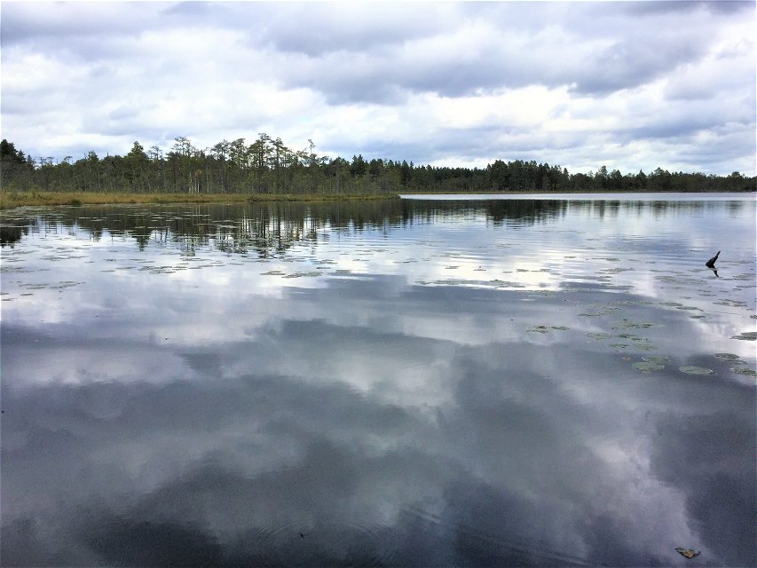
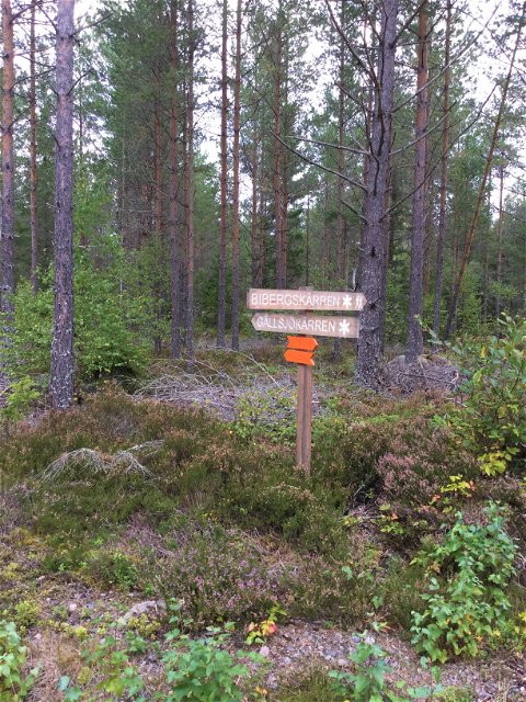
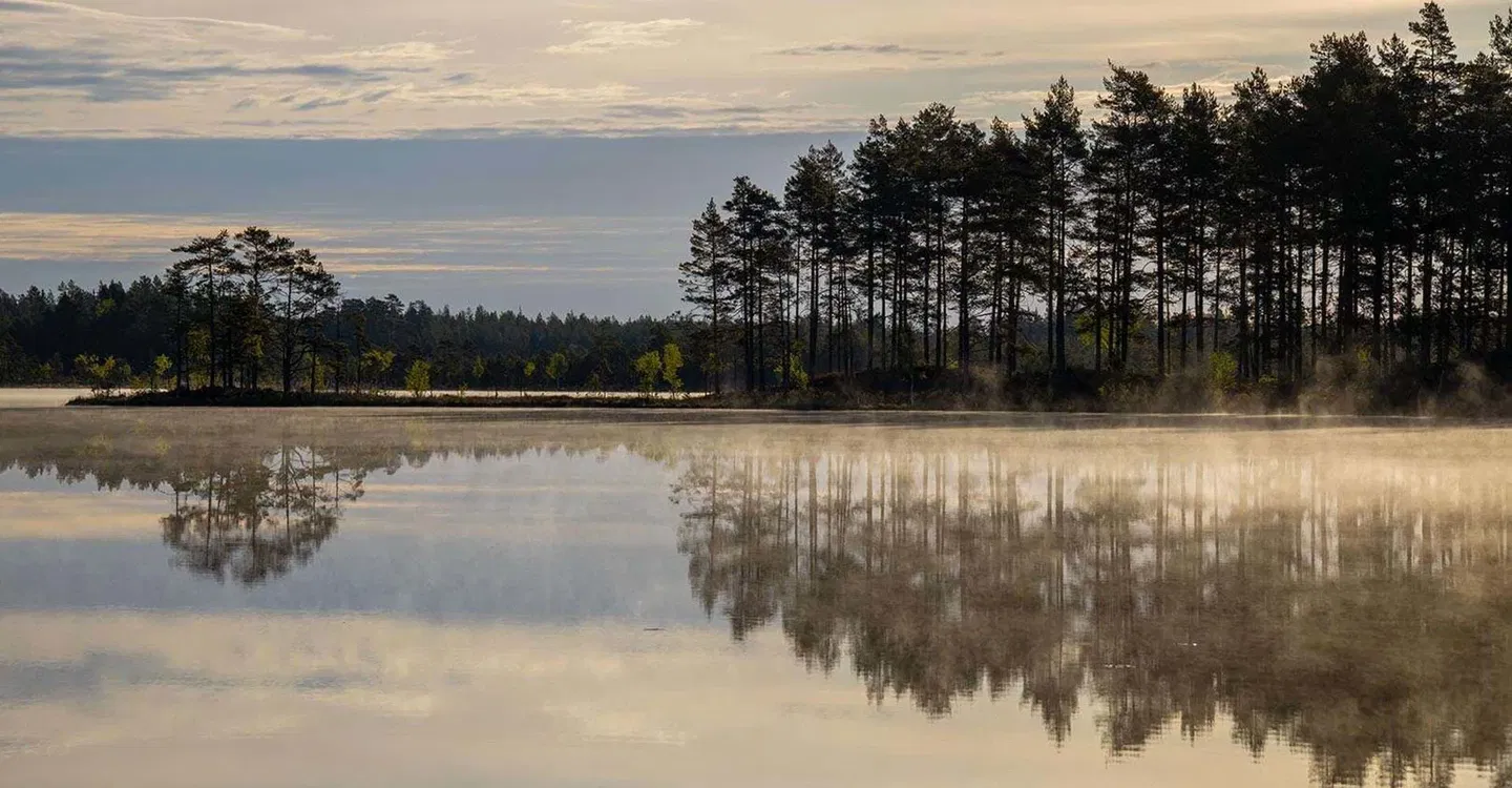
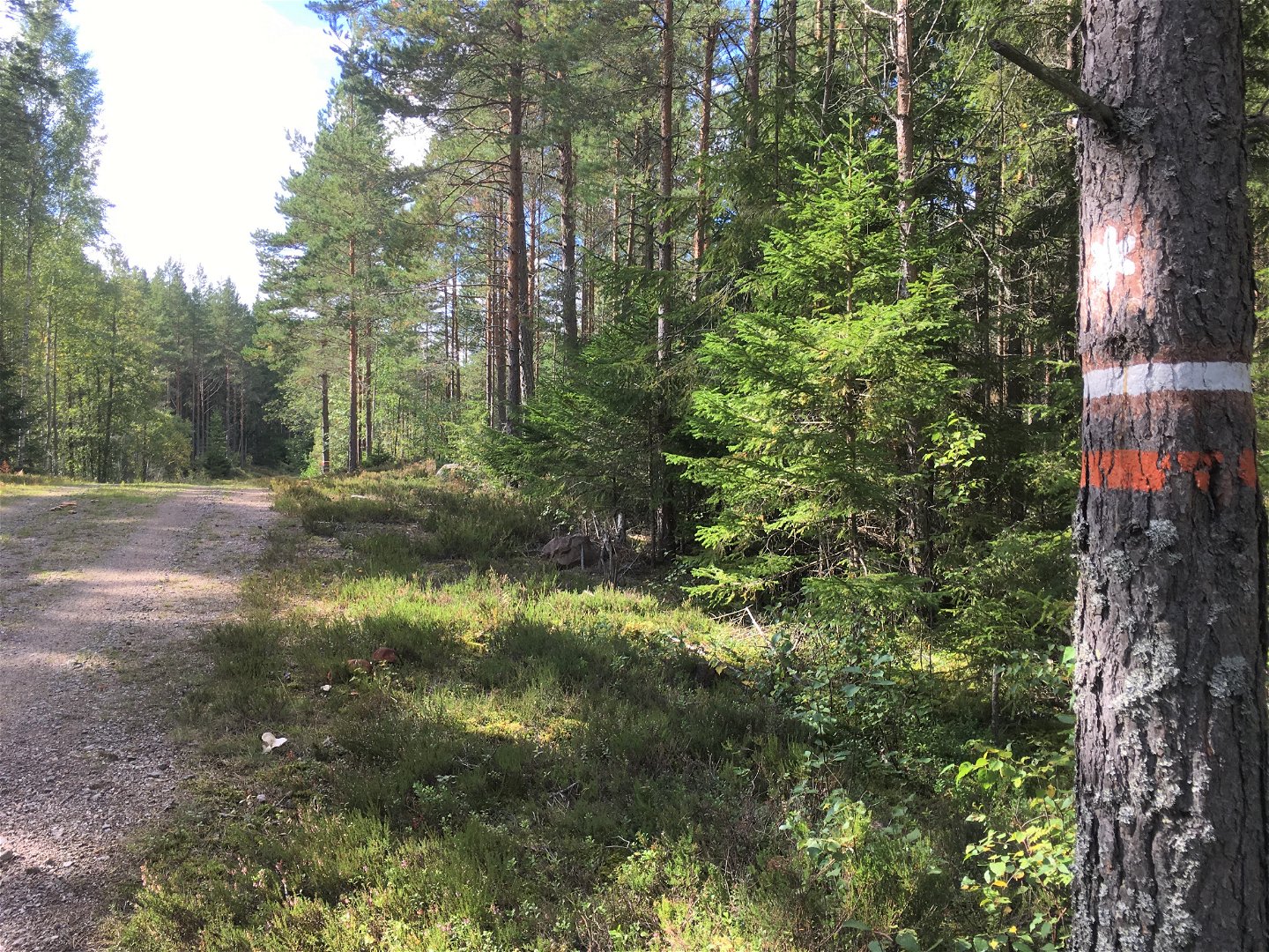
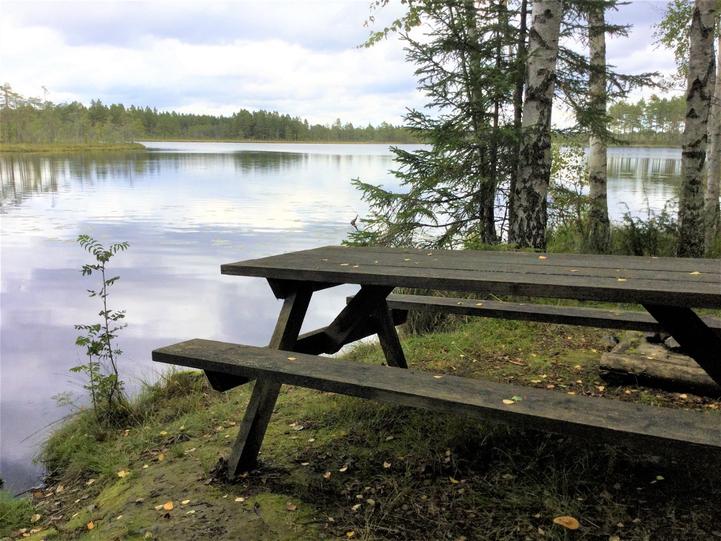
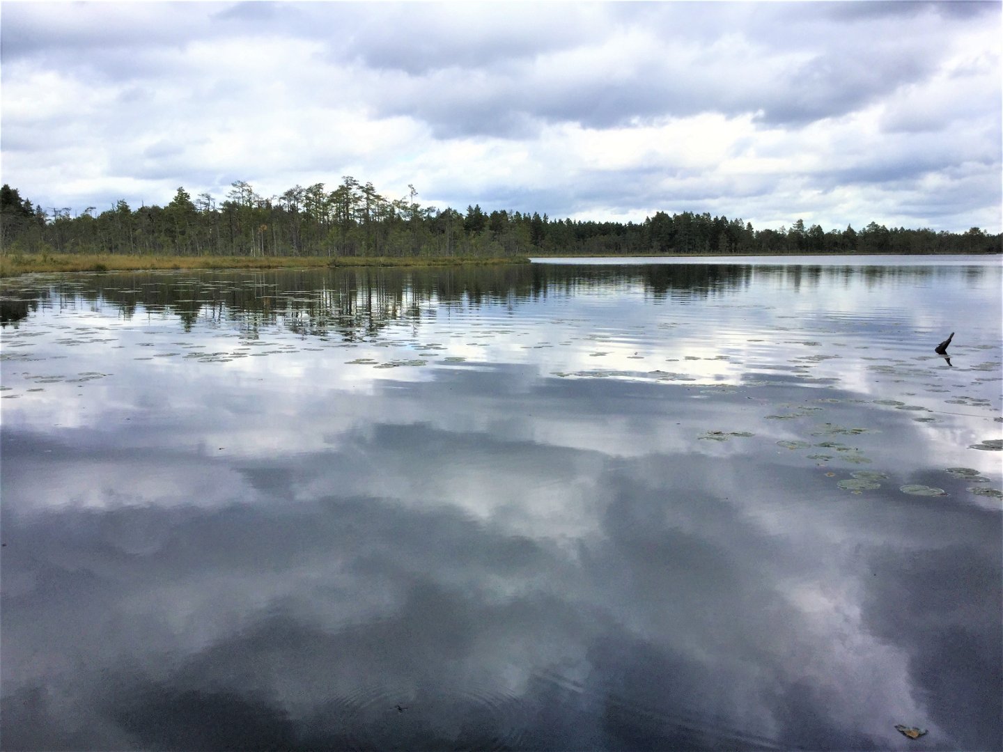
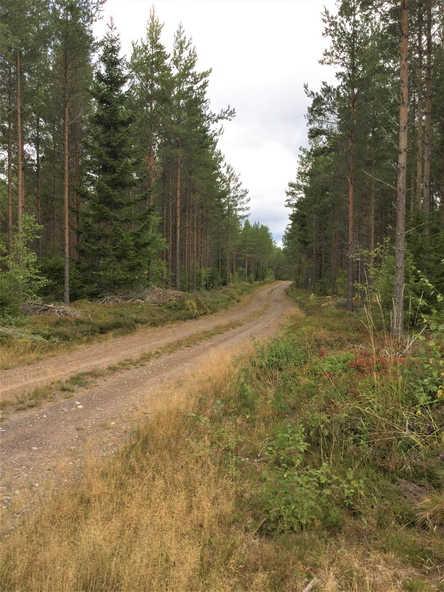
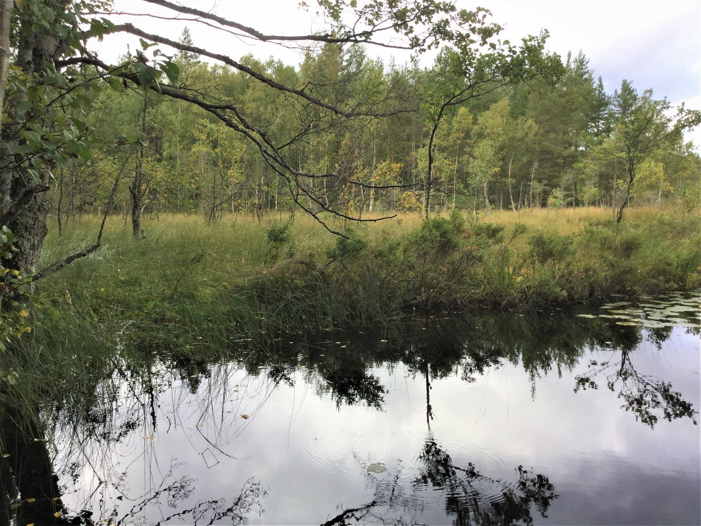
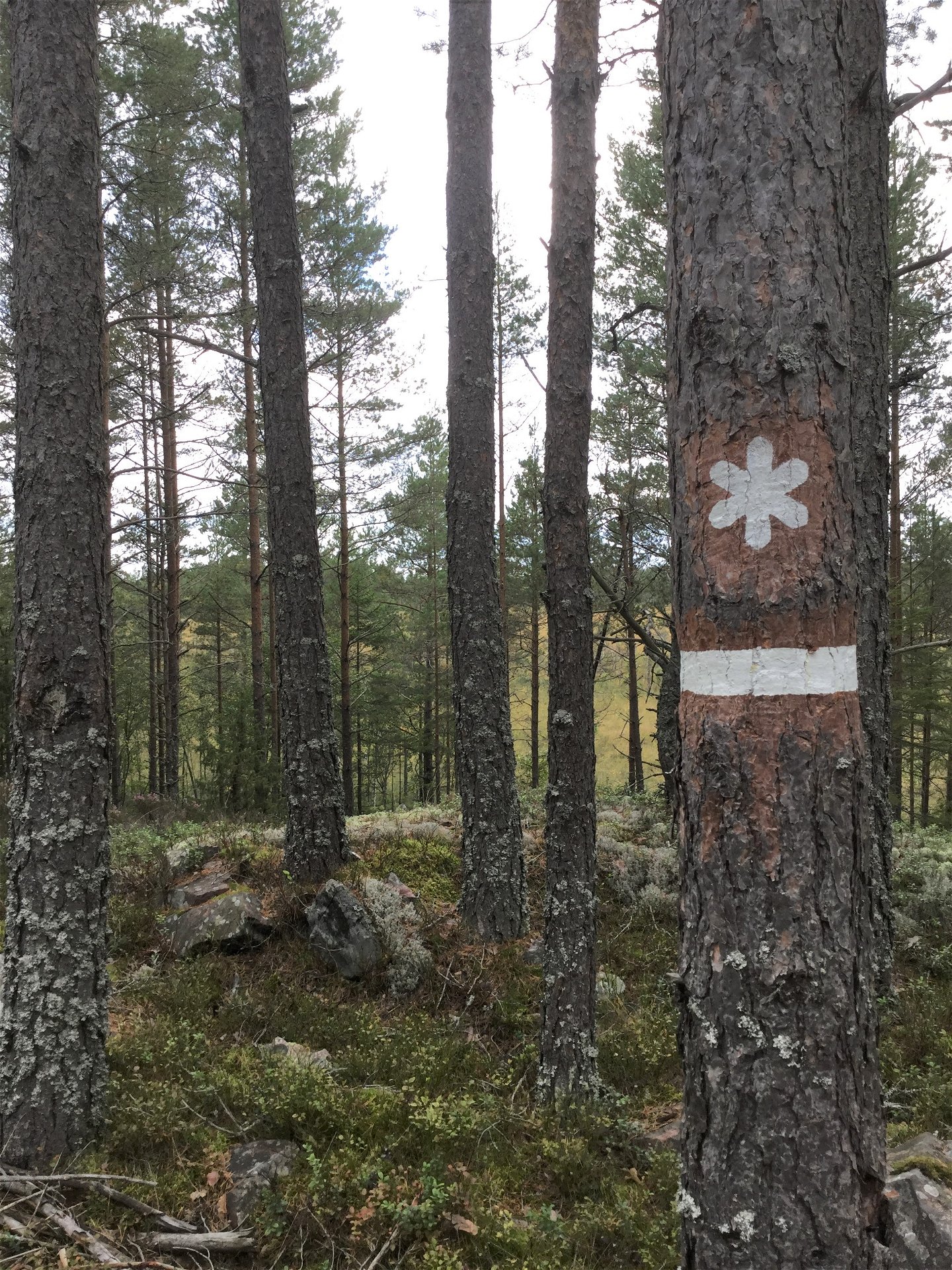
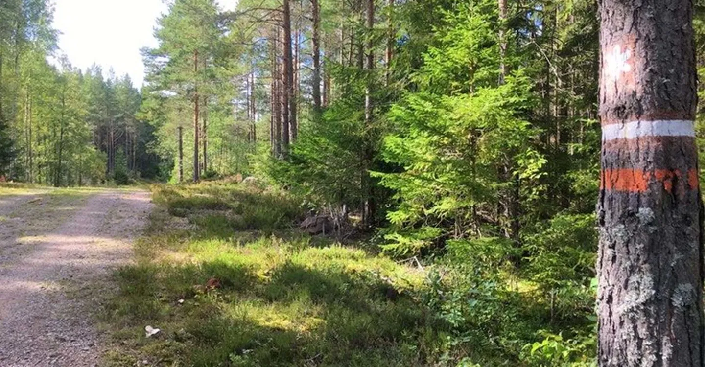
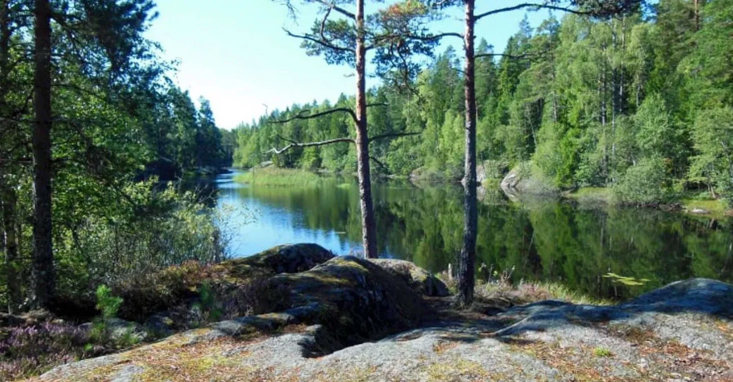
This part of Östgötaleden runs on gravel roads through Tyleskogen's pine forests. The northern part has a view of the large bog complex of which Kärnskogsmossen is a part. You also get a view of Gällsjön, where you can find a firesite with wood storage. In Kärnskogsmosse there are several firesites and a rest cabin you can stay in, an accessible toilet and parking.
Działania i udogodnienia
-
Wędrówki piesze
-
 Wybór redaktorów
Dostępność
-
 Blisko parkingu
-
 Blisko toalet
-
 Dostęp dla wózków dziecięcych
Parking
Parking at Kärnskogsmosse Nature Reserve
Kontakt
Adres
Välkommen till Östgötaleden, 150 mils vandring i Östergötland!
Adres e-mail
Kontakt Östgötaleden
Logotyp organizacji
![]()
Należy pamiętać, że niektóre z tych tekstów zostały przetłumaczone automatycznie.
Pytania i Odpowiedzi
Zadaj pytanie innym użytkownikom Naturkartan.
