


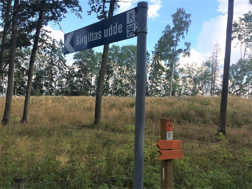

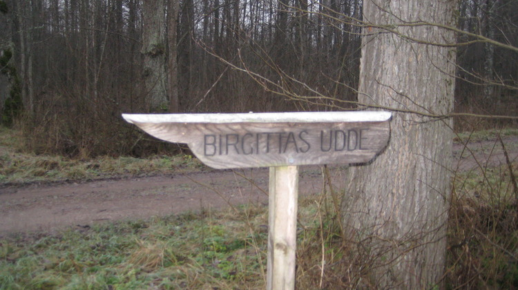
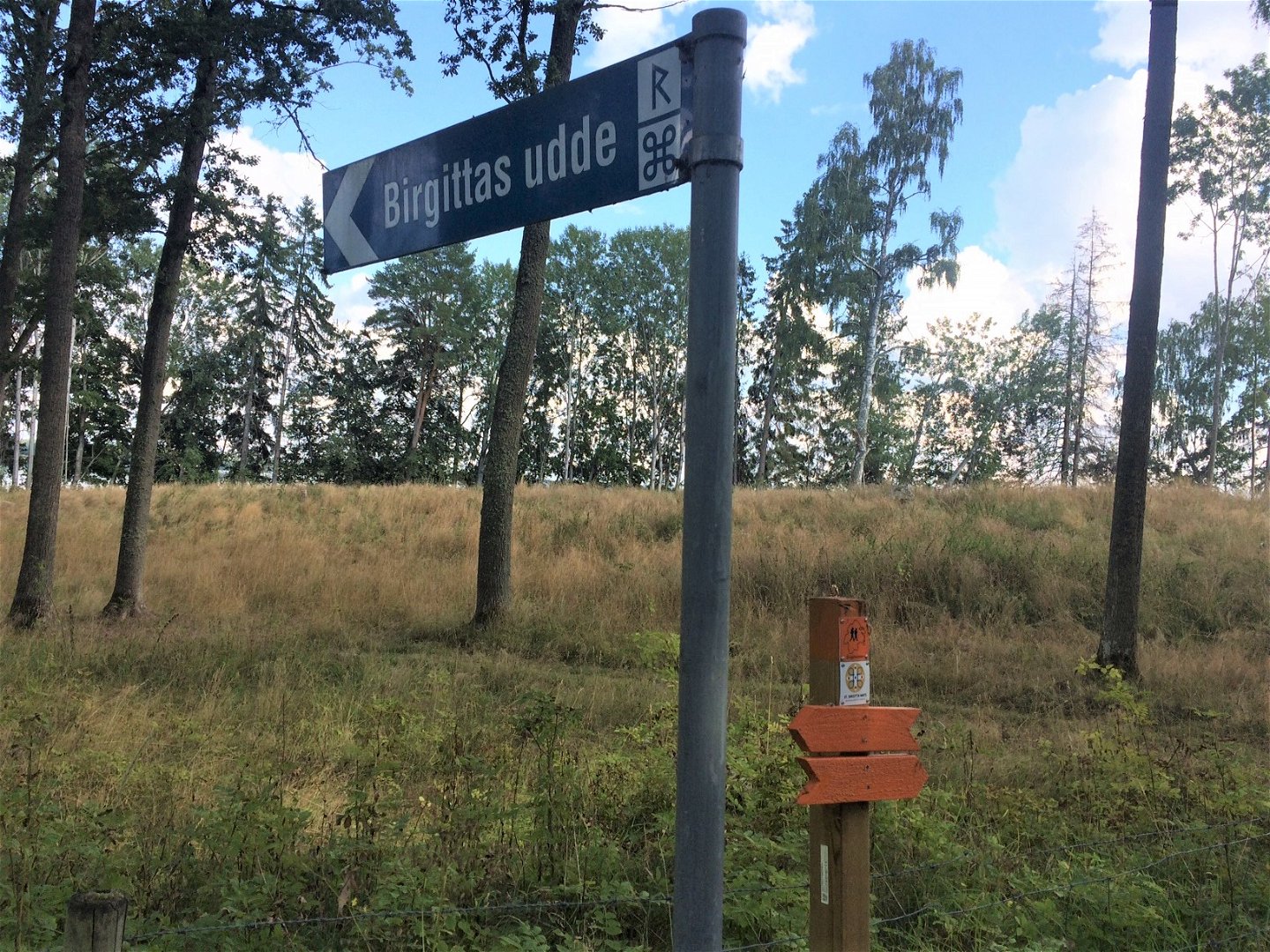


Vandringsled till Birgittas udde, Östgötaleden
Wędrówki piesze
- Województwo: Östergötlands län
- 6734.44 km od Ciebie
Szczegóły dotyczące szlaku
- Długość 2.5 km
Akcje
Opis
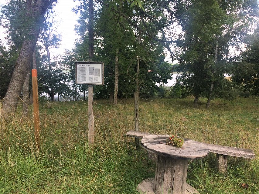
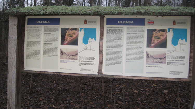
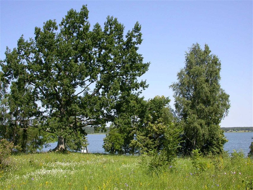
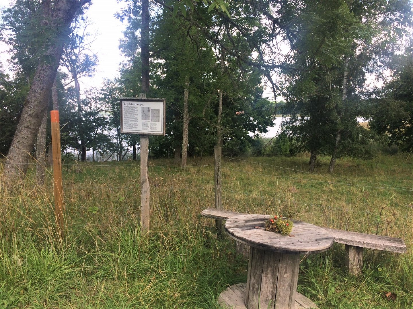
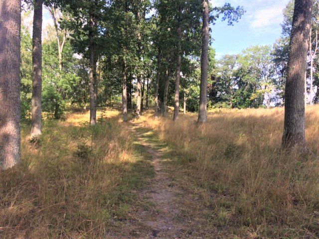
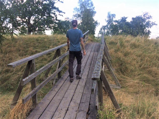
A section of the Östgötaleden out to Birgitta's headland. From the parking lot at Ulvåsa, there is then about 2.5 km of orange marked path out to Birgitta's headland, where you can walk or cycle. The road is not open for car traffic, but the area should be a place for physical and spiritual recreation and nature experiences. This is a part of the pilgrimage route.
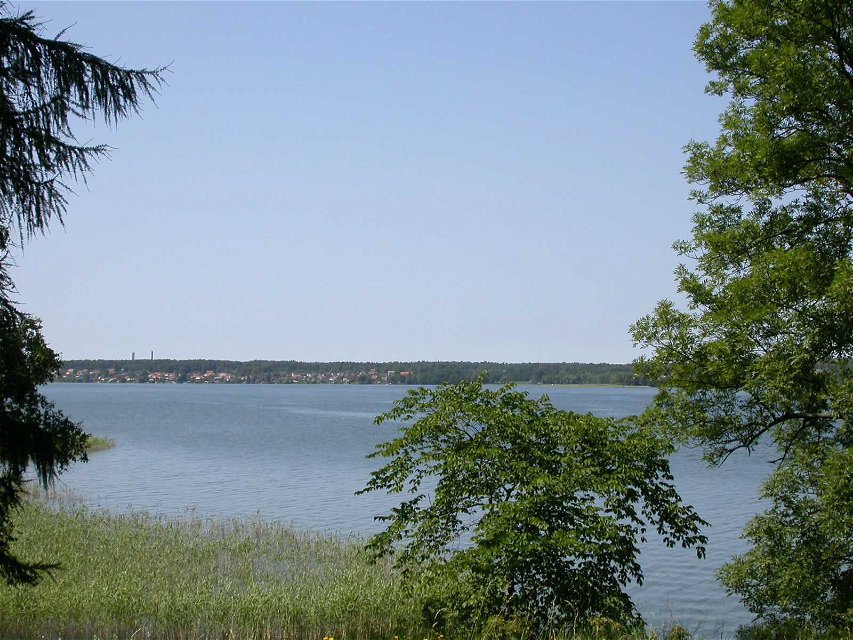
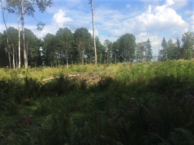
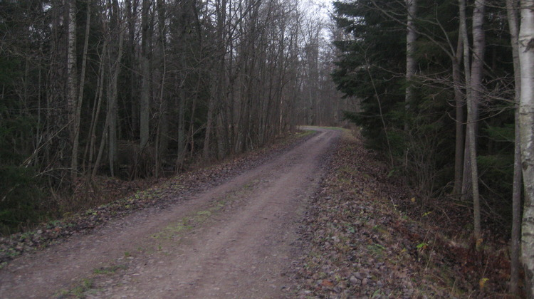
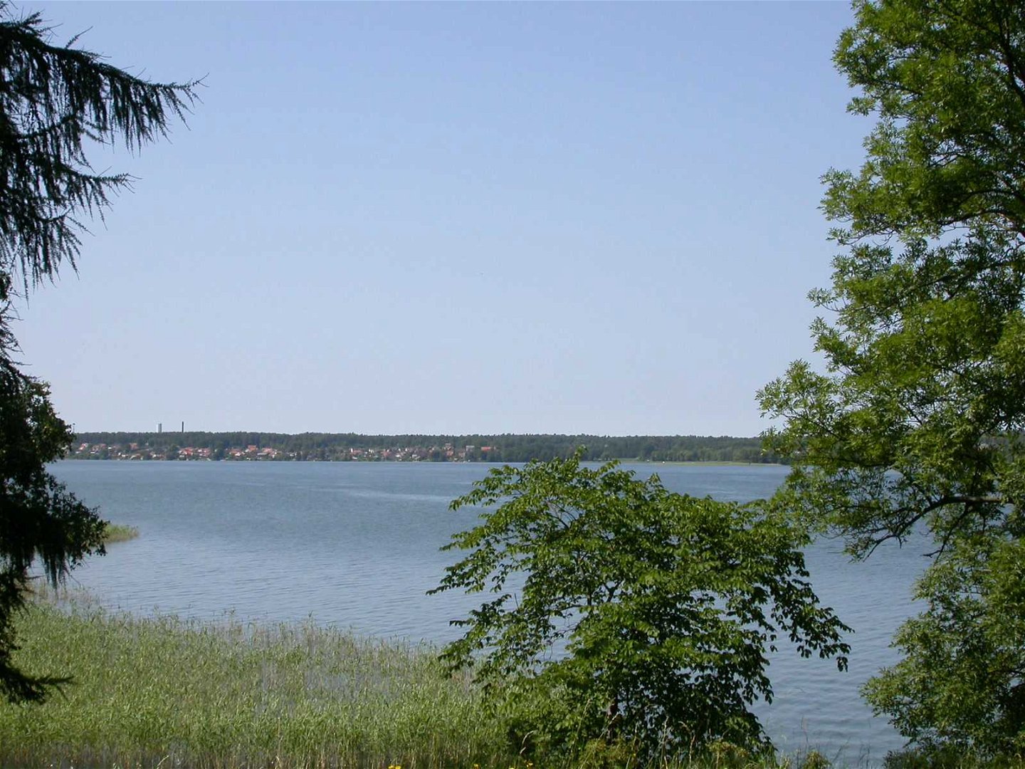
The trail passes pastures, production forest along Borens beach and then goes out into a nice sheep pasture out on the headland.
Działania i udogodnienia
-
Wędrówki piesze
-
 Kulturstig
-
 Pilgrim Trail
Wskazówki dojazdu
A road to Ulvåsa goes from the road between Ask and Ekebyborna.
Kontakt
Adres
Kontakta mig om du har frågor om Motalas Naturkarta.
Adres e-mail
Hilda-Linn Berglund
Logotyp organizacji
![]()
Należy pamiętać, że niektóre z tych tekstów zostały przetłumaczone automatycznie.
Pytania i Odpowiedzi
Zadaj pytanie innym użytkownikom Naturkartan.
