-

Zdjęcie: Naturföretaget -

Zdjęcie: Naturföretaget
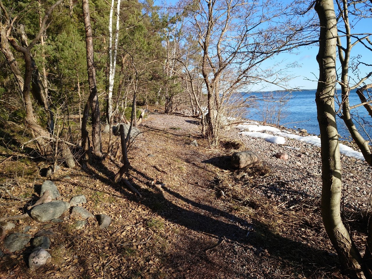
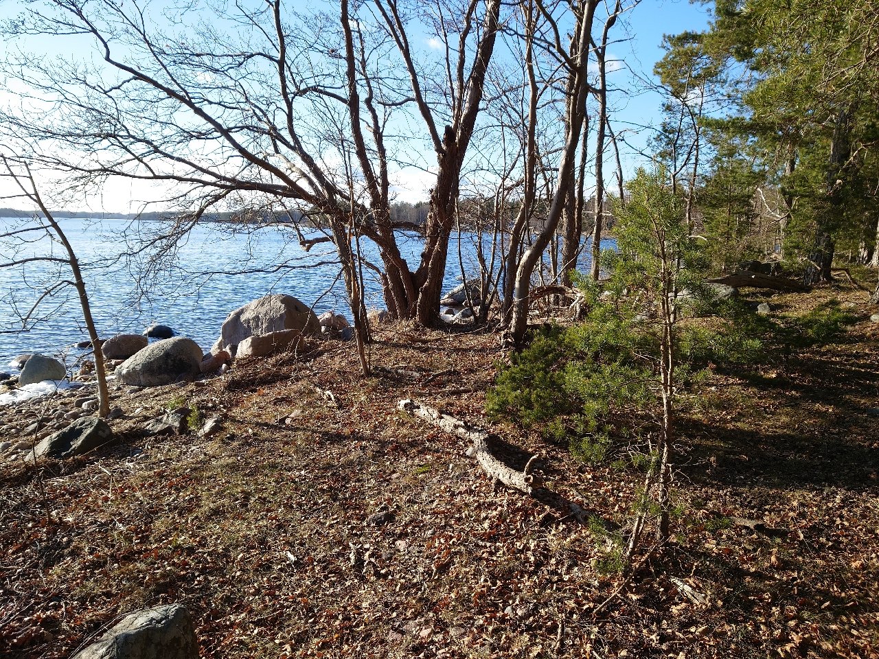

Vandringsstig, Getholmen
Wędrówki piesze
- Województwo: Stockholms län
- 6856.96 km od Ciebie
Szczegóły dotyczące szlaku
- Długość 0.9 km
Akcje
Opis
This unmarked but clearly visible path follows the shoreline around Getholmen. The views are beautiful and the southern shores well-suited for swimming and sunbathing.
Działania i udogodnienia
-
Wędrówki piesze
-
 Rundslinga
Wskazówki dojazdu
By car from E18 take road 276 and Grönborgsvägen to Östanå ferry terminal. From there take the road ferry to Ljusterö (5 min). The reserve is then located on the northeastern part of Ljusterö, east of Svedlandet. From Lagnövägen, the reserve is reached on foot via a private road, Getholmsvägen, which runs through an old summer cottage area. The last part consists of a path out onto the peninsula.
The nearest bus stop is Lindängskroken along the 626 bus route between Danderyd Hospital and Ljusterö. The bus stop is located on Lagnövägen, about 900 m walk from Getholmens nature reserve. Search journey on SL, Storstockholms lokaltrafik
Getholmens nature reserve can also be reached from the lake side. There is no jetty, but on the north and east sides there are opportunities to go ashore by boat against the rock.
Regulamin
To protect the Getholmen nature reserve, there are rules you must follow. In the reserve it is forbidden to:
- dig, hack, drill or otherwise damage rock, soil or stone
- cut down or damage living or dead trees or bushes
- damaging vegetation by digging up plants such as reeds and herbs or removing mosses, lichens or woody fungi
- camping for more than two consecutive days
- mooring a boat in the same place for more than two consecutive days
- mooring a boat.
Kontakt
Adres e-mail
Länsstyrelsen i Stockholm
Logotyp organizacji
![]()
Należy pamiętać, że niektóre z tych tekstów zostały przetłumaczone automatycznie.
Pytania i Odpowiedzi
Zadaj pytanie innym użytkownikom Naturkartan.
