-

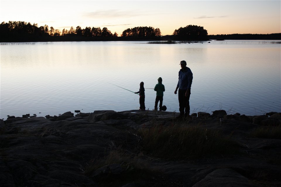
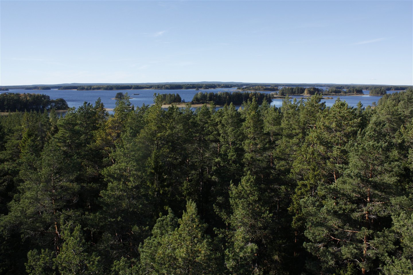
Utsikt från tornet vid Skekarsbo.
Zdjęcie: Emelie Runfeldt -
-
Zdjęcie: Emelie Runfeldt -
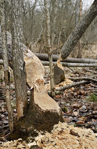
Bävergnag.
Zdjęcie: Gillis Aronsson


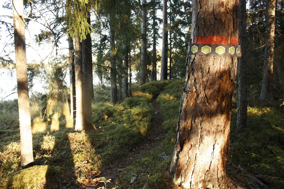
Upplandsleden, etapp 18, Skekarsbo–Gysinge
Wędrówki piesze
- Województwo: Uppsala län
- 6725.82 km od Ciebie
Szczegóły dotyczące szlaku
- Długość 14.5 km
Akcje
Opis
Section 18, a detour from the northwestern part of The Uppland Trail, goes from Skekarsbo to Gysinge, where you can continue onto The Gästrikland Trail. Large parts go through national park Färnebofjärden, and nature reserve Gysinge, and you’ll pass many nice rest spots with wind shelters and fireplaces. From Skekarsbo, you’ll walk northward to rest spot Brattnäset, and on to Kallviken. The trail then follows paths and gravel roads to the Långvindsängena Bog. Here and just after the bog, you can take two detours, one to a wind shelter with a view, and one to open lodge Kungsgårdens Fäbod.
Walking along a forest path, you’ll reach Sevedskvarn, before taking the road across River Dalälven out onto the island of Mattön. Turn right to follow the path along the water on the east side of the island, pass another two rest spots, and lastly cross the bridge into Gysinge. In Gysinge, there is a hostel, and places to eat.
Difficulty level: Medium, mostly forest paths, a few kilometres on a road.
Działania i udogodnienia
-
Wędrówki piesze
Powierzchnia
Vandringen går längs lättgångna skogsstigar och grusvägar.
Parking
Parking is available at the start and finish.
Komunikacja
It is not possible to get to Skekarsbo by bus. From Gysinge there is a bus to Gävle, the stop is called Gysinge brukshandel.
For bus numbers and timetables, see www.xtrafik.se
Wskazówki dojazdu
Stage 18 starts at Skekarsbo north of Tärnsjö. To get to Skekarsbo, drive into Tärnsjö and follow the main street (Storgatan) north. At the edge of the community turn towards Gäddsjö. From here it is signposted towards both Kyrkstigen and Skekarsbo.
Kontakt
Adres e-mail
Upplandsstiftelsen
Logotyp organizacji
![]()
Należy pamiętać, że niektóre z tych tekstów zostały przetłumaczone automatycznie.
Pytania i Odpowiedzi
Zadaj pytanie innym użytkownikom Naturkartan.
