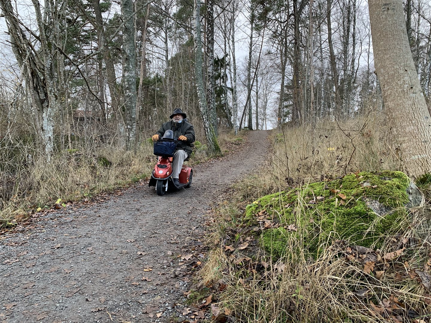
Upplandsleden, etapp 1:0, Studenternas IP–Sunnersta (Gula stigen)
Wędrówki piesze
- Województwo: Uppsala län
- 7670.63 km od Ciebie
Szczegóły dotyczące szlaku
- Długość 11.5 km
Akcje
Opis
Section 1:0 starts at the Studenternas IP’s sports ground in central Uppsala, and ends at the Sunnerstaåsen recreation area close to Lake Mälaren.
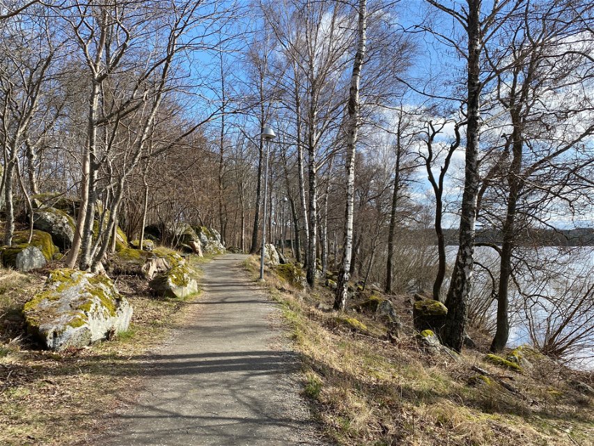
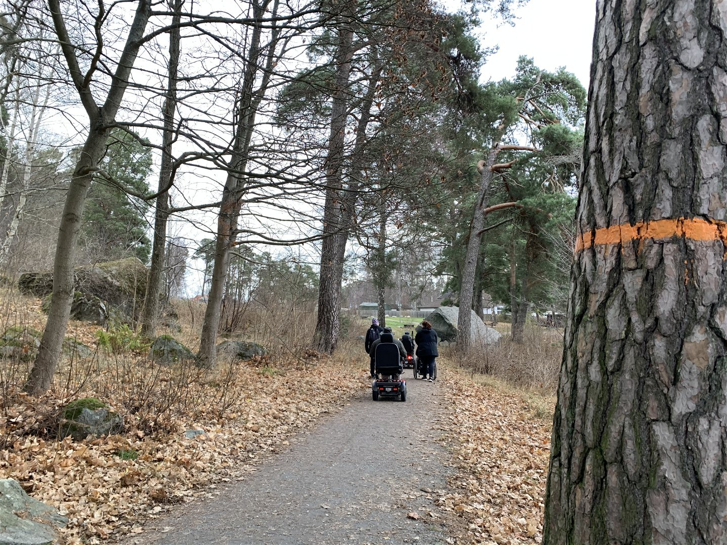
The hike begins with a fairly steep hike up the Kronåsen Ridge. At the top, you’ll find a barbecue spot and the Sten Sture monument, a large bronze sculpture by Carl Milles. Carry on downward through the pine forest towards the River Fyrisån, before passing university area Polacksbacken, reaching the Kronparken Park. Kronparken is home to Sweden’s best population of Scots pines, many over 300 years old.
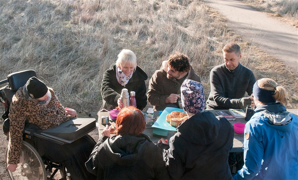
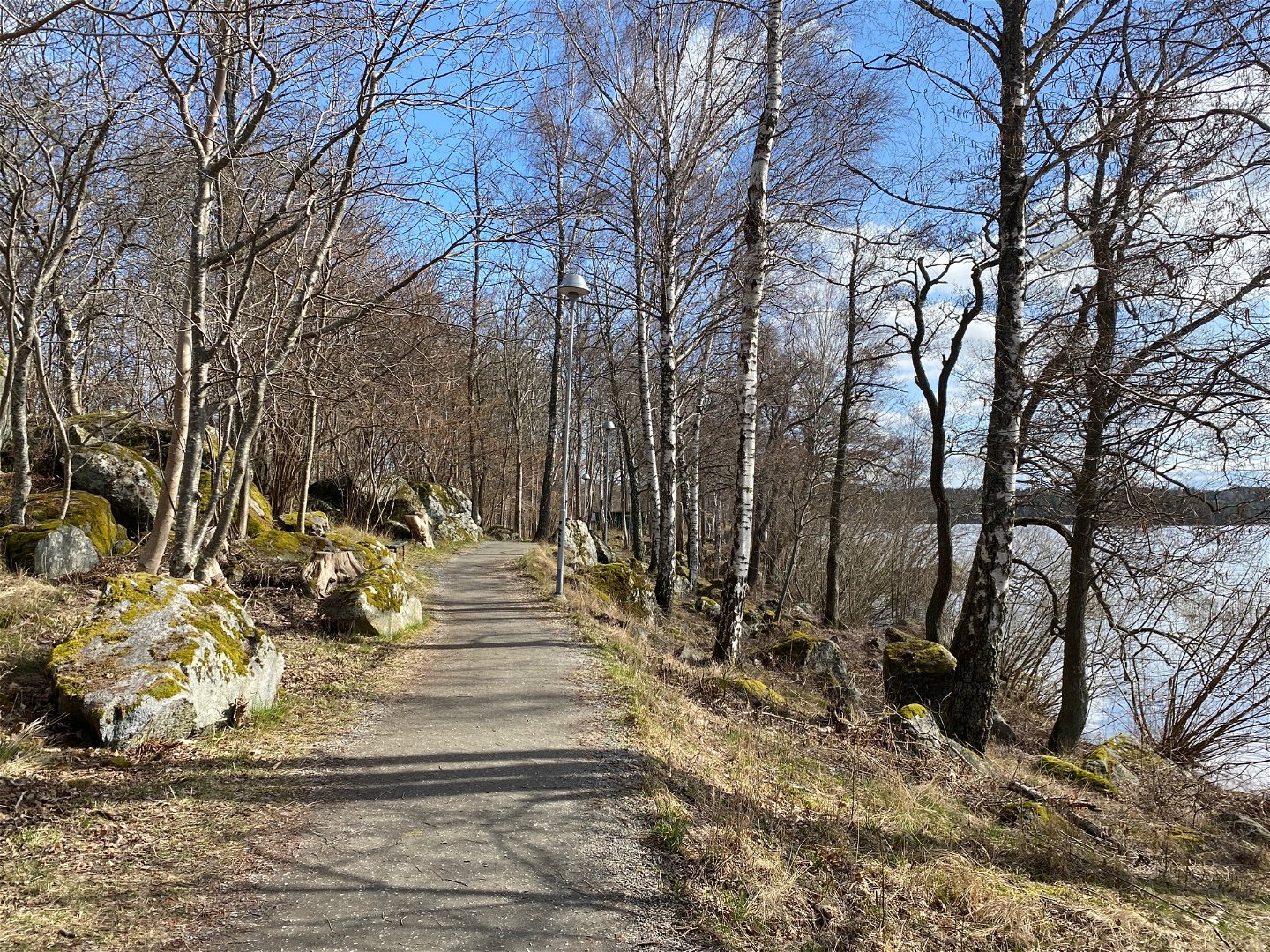
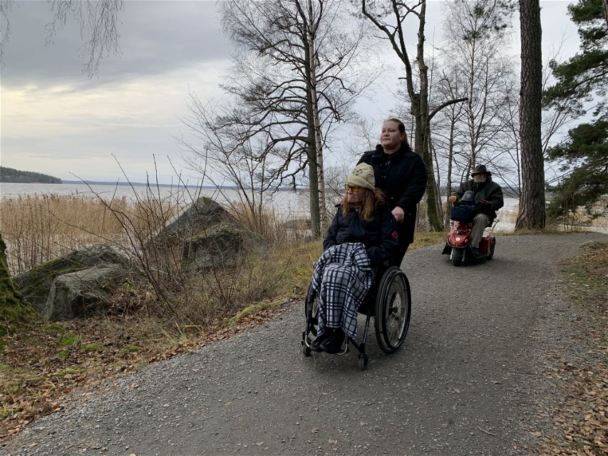
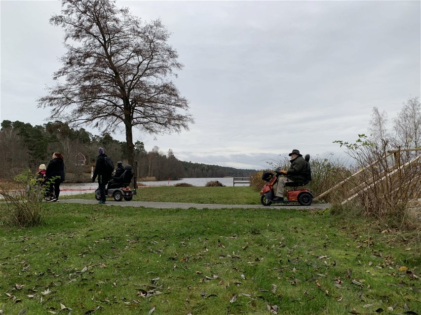
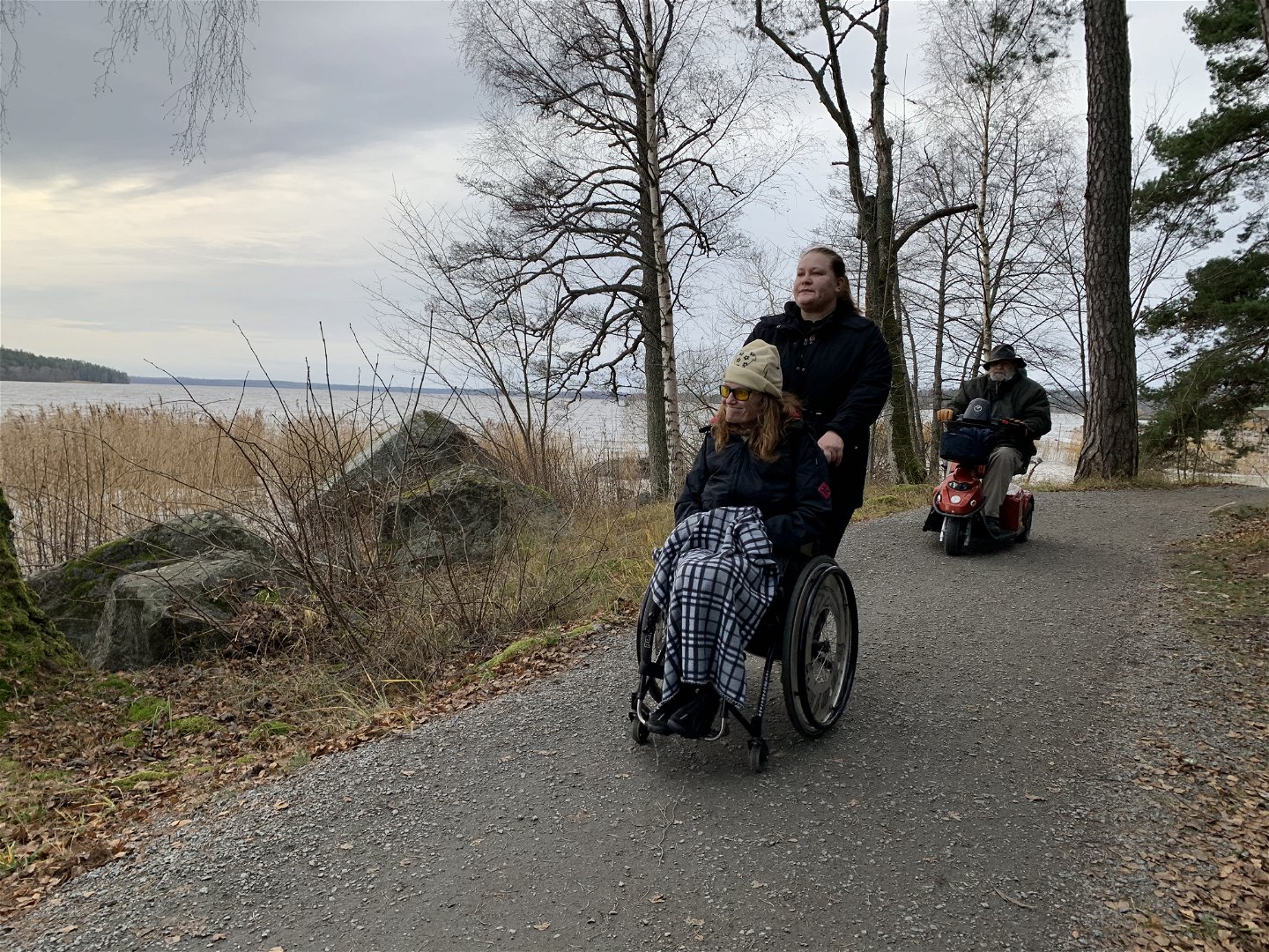
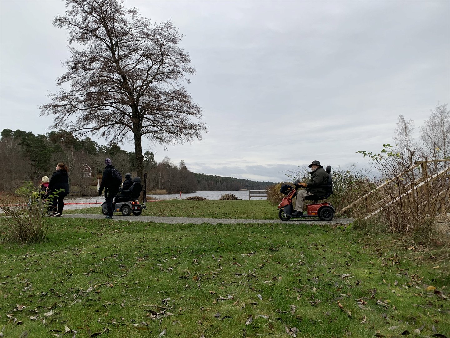
The path winds its way onward through forests, open areas and pastures to Uppsala’s southernmost residential areas. At the Skarholmen Peninsula, the trail turns eastward. It mostly follows the shore of Lake Mälaren, past the beaches Lyssnaängsbadet and Sunnerstabadet, towards the end of the section. There is a rest spot, a dry toilet and a parking area at the Sunnerstaåsen recreation area.
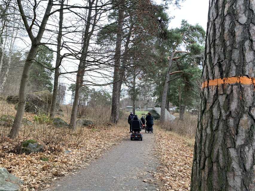
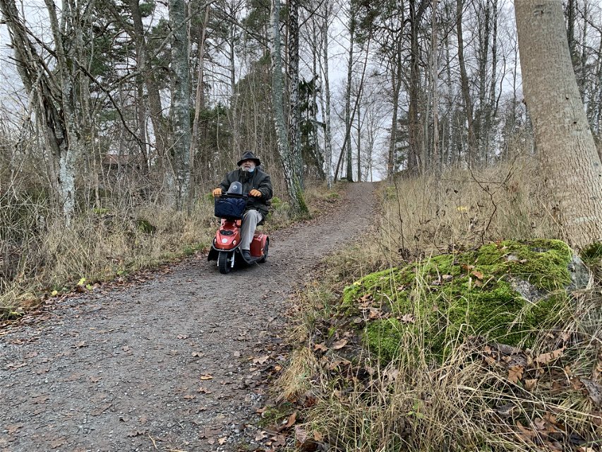
Difficulty level: Easy, mostly easy-to-walk paths, but also some slightly rugged paths with rocks and roots.
Działania i udogodnienia
-
Wędrówki piesze
Dostępność
-
Blisko parkingu
-
Blisko transportu publicznego
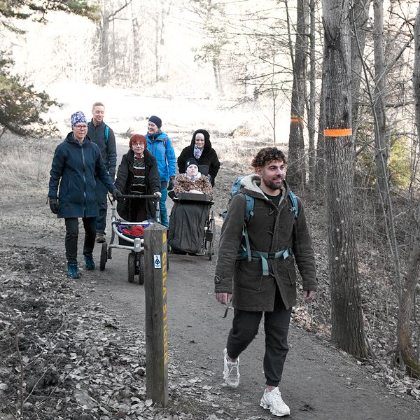
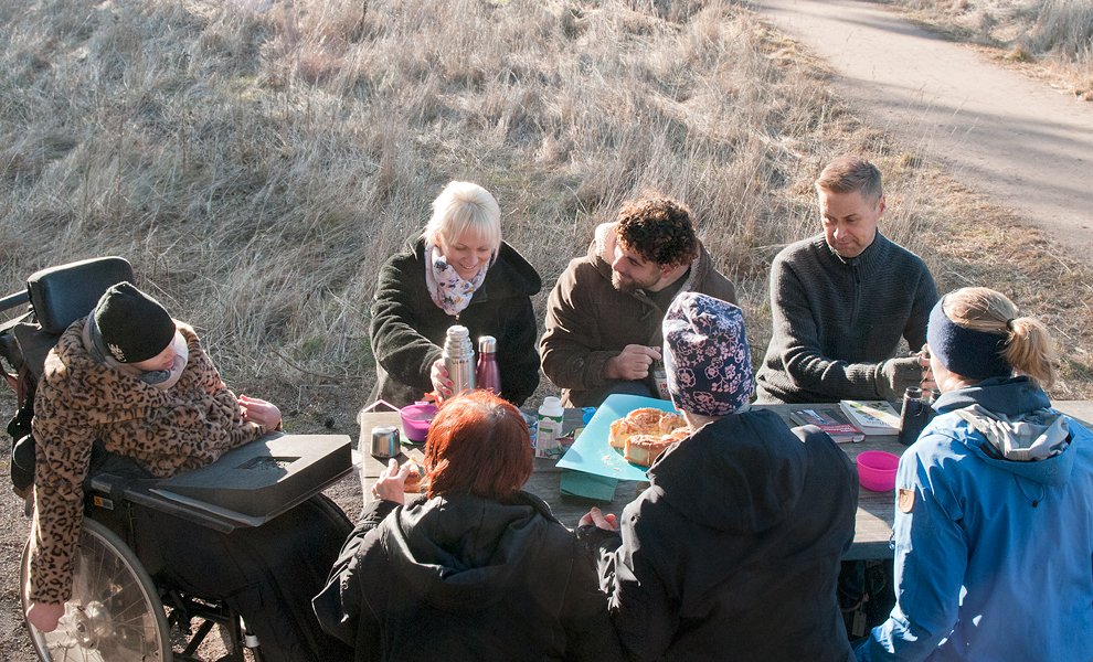
Testowany z wózkiem inwalidzkim
Powierzchnia
Easy, mostly easy-to-walk paths, but also some slightly rugged paths with rocks and roots.
Komunikacja
Nearest bus stop at the start: Akademiska sjukhuset Nearest buss stop at the end: Sunnerstabacken
For bus number and timetables, click on the link below.
Wskazówki dojazdu
Start att Studenternas IP's sports ground, Sjukhusvägen 5B, Uppsala.
Kontakt
Adres e-mail
Upplandsstiftelsen
Logotyp organizacji

Należy pamiętać, że niektóre z tych tekstów zostały przetłumaczone automatycznie.
Pytania i Odpowiedzi
Zadaj pytanie innym użytkownikom Naturkartan.

