-
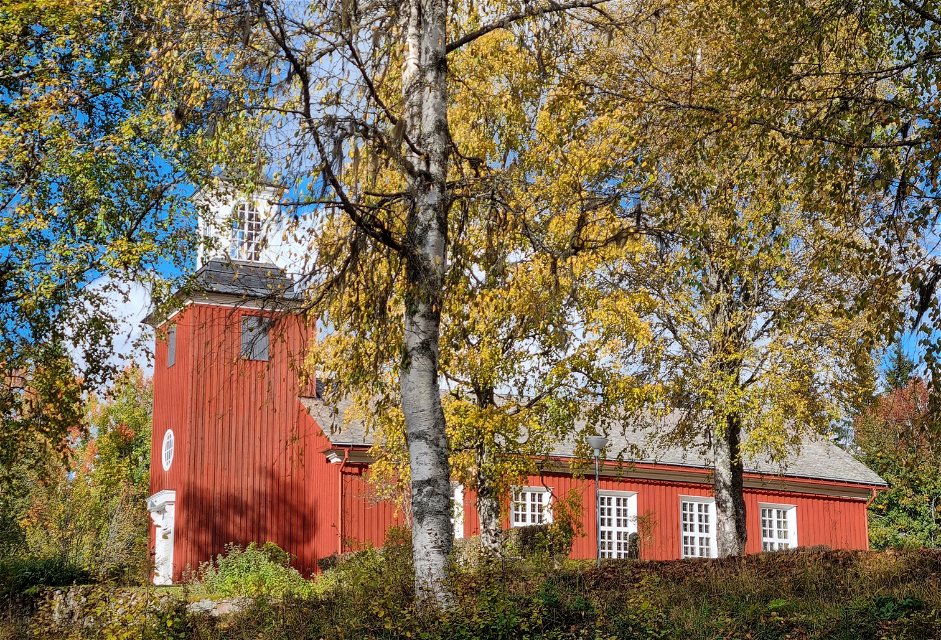
Bogens träkyrka från 1850-talet.
Zdjęcie: Visit Arvika -
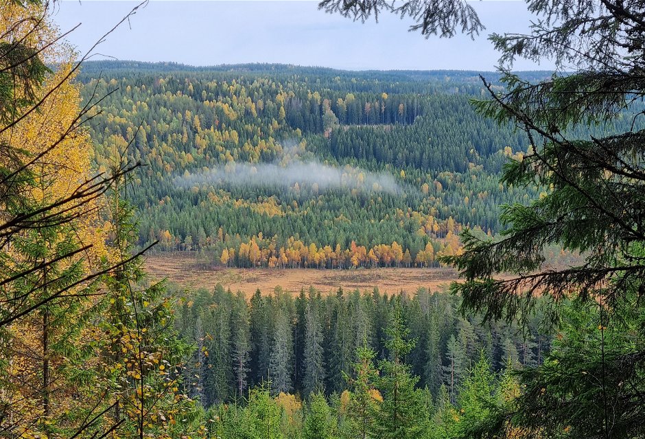
Utsikt österut från Prästgårdshöjden.
Zdjęcie: Visit Arvika -

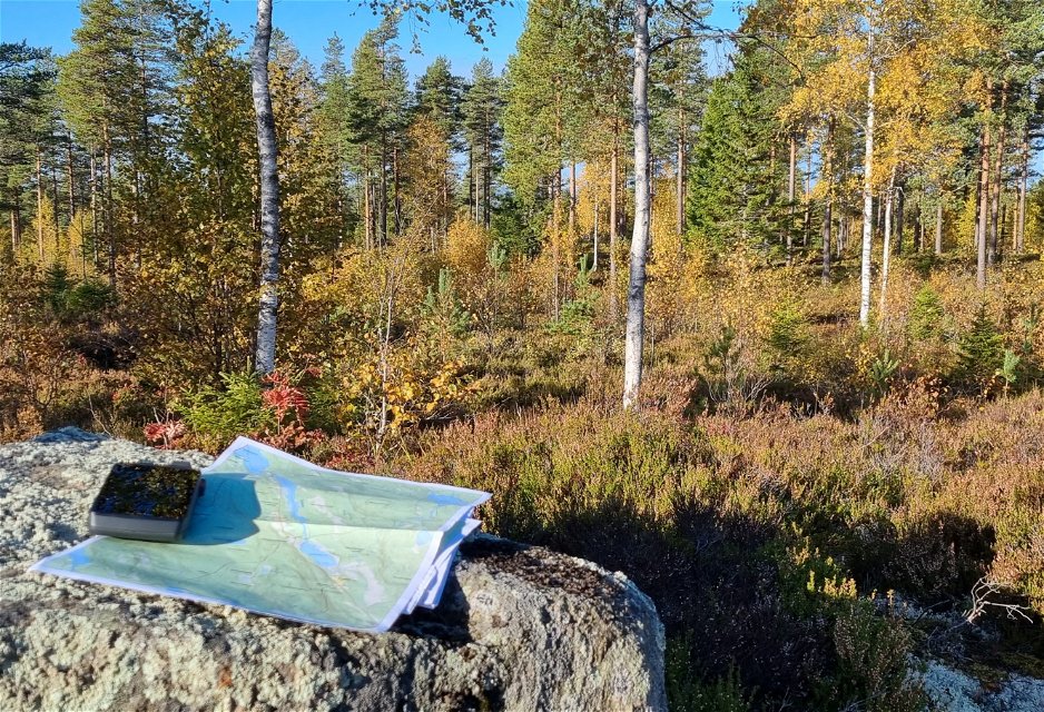
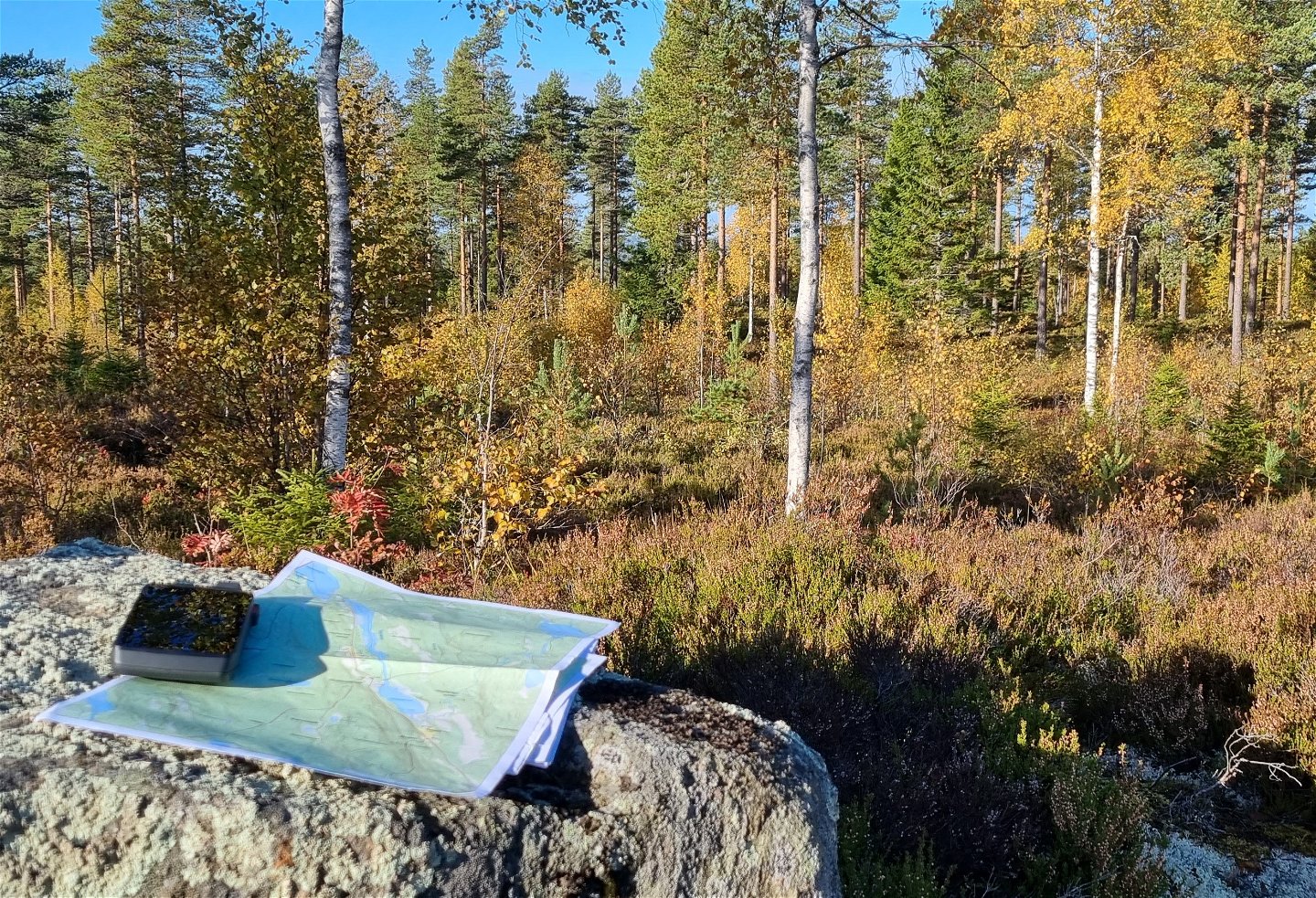
Stigskälet på Prästgårdshöjden, där det finns bänkbord.
Zdjęcie: Visit Arvika -
Terräng på Prästgårdshöjden.
Zdjęcie: Visit Arvika


Finnvägen, av- påfart Bogens kyrka
Wędrówki piesze
- Województwo: Värmlands län
- 6526.97 km od Ciebie
Szczegóły dotyczące szlaku
- Długość 1.0 km
Akcje
Opis
If you start off at the church of Bogen, there is a demanding elevation along the carriage road up to the height Prästgårdshöjden. The elevation takes you through spruce forest and green moss, while the terrain on the top is heather and sparse mixed forest on rocky ground.
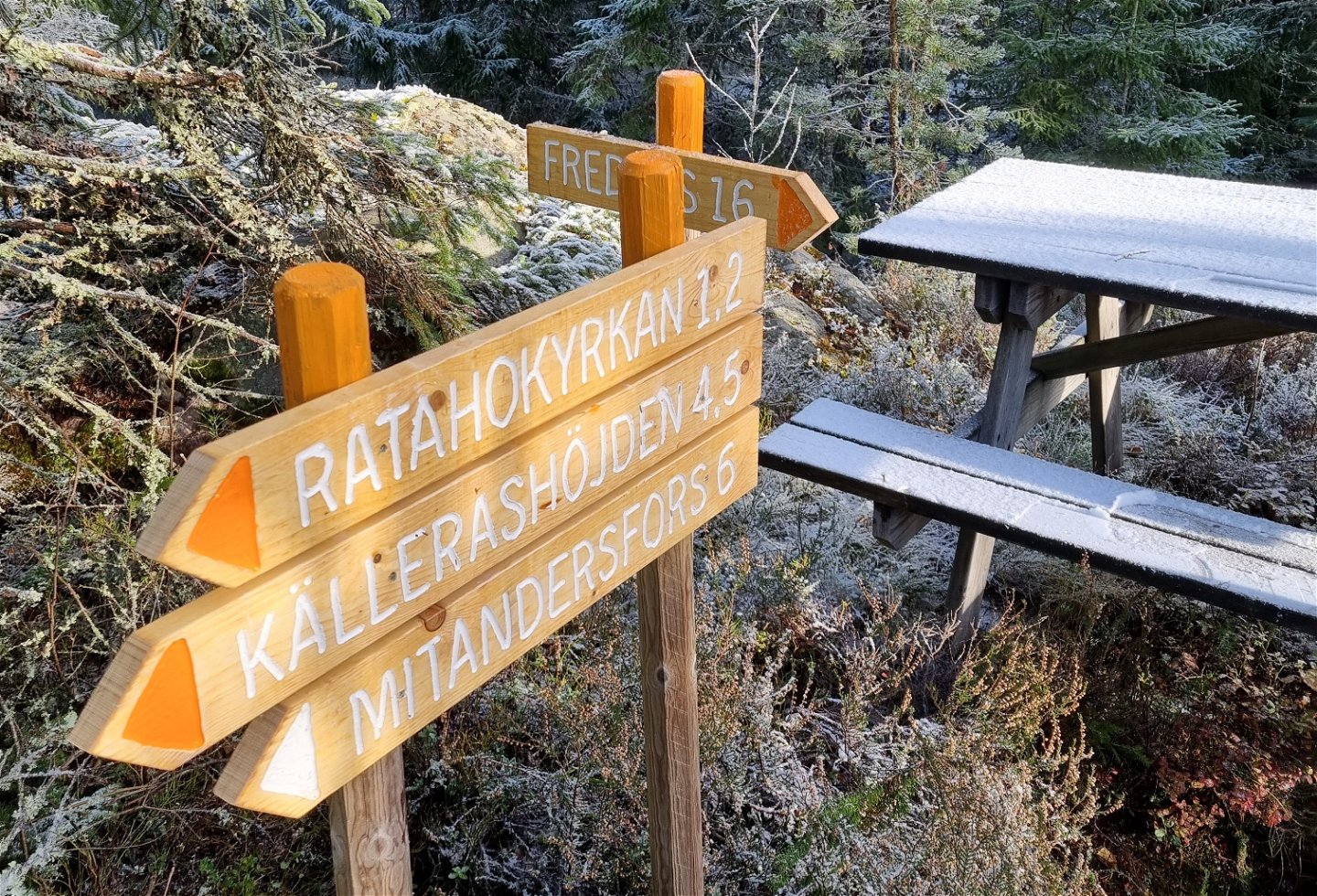
You can get some rest by the bench table at the top. This is where the path splits and you choose either the southward direction to Fredros or the eastward one, passing the Rataho church (1,2 km) and further on Finnskogleden (4,5 km) and Mitandersfors (6 km.)
Działania i udogodnienia
-
Wędrówki piesze
Kontakt
Adres
Besöksadress:
Visit Arvika
Arvika Turistbyrå, Storgatan 22
671 31 Arvika
www.visitarvika.se
Adres e-mail
Visit Arvika
Należy pamiętać, że niektóre z tych tekstów zostały przetłumaczone automatycznie.
Pytania i Odpowiedzi
Zadaj pytanie innym użytkownikom Naturkartan.
