Kyrkstensleden
Wędrówki piesze
- Województwo: Värmlands län
- 6534.79 km od Ciebie
Szczegóły dotyczące szlaku
- Długość 6.0 km
- Trudność Niebieski - średni
Akcje
Opis
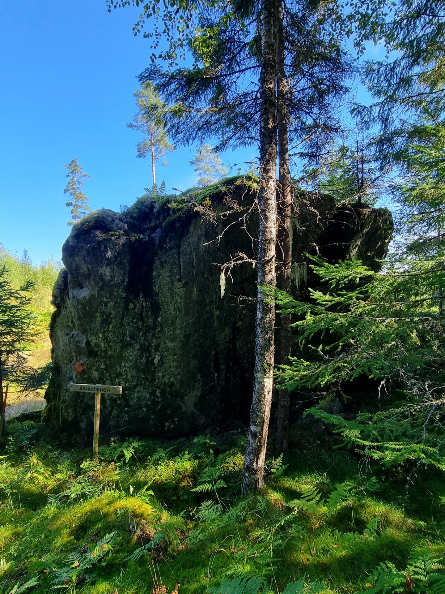
A quality proofed and certified HIKING VÄRMLAND trail of 5,9 km, starting at the Finn croft Lafallhöjden. The trail goes through beautiful nature and passes by the erratic rock Kyrkstenen.
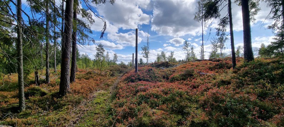
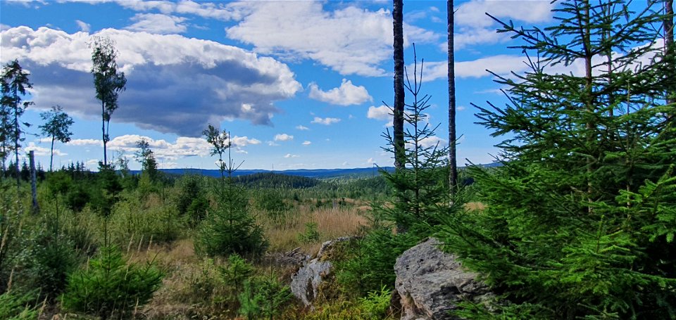
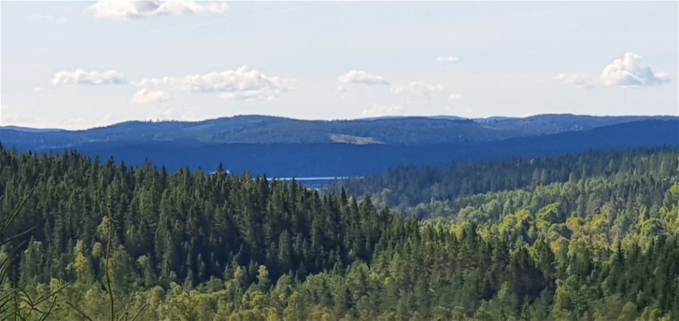
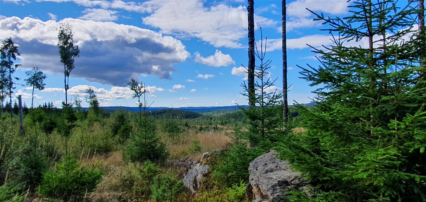
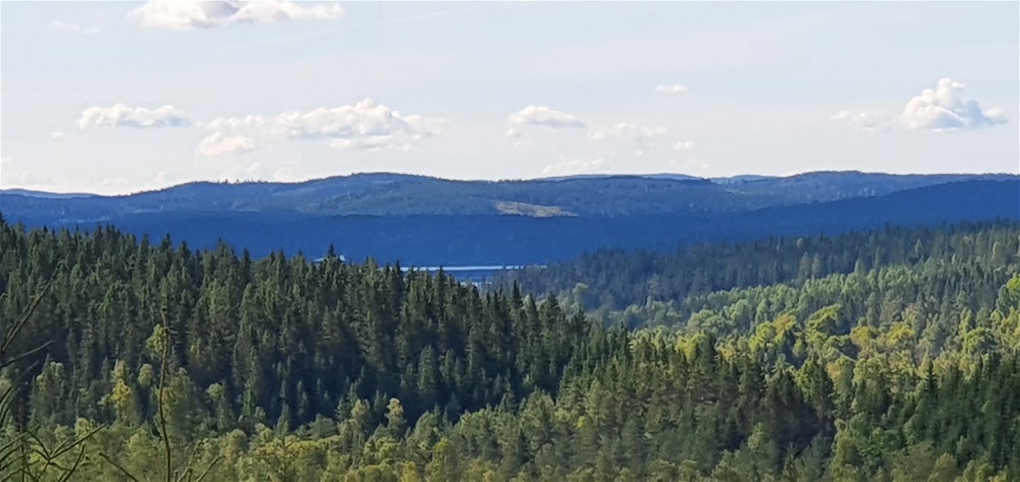
The trail begins at the Finn croft Lafallhöjden and continues on old forest roads, logging roads and forest paths, with nice views in different places. Lafallhöjden is a Natura 2000 protected area with highland hay meadows and from time to time cattle graze here. Make sure to follow the guidelines on site. In summer there are benches put out by the farm.
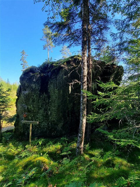
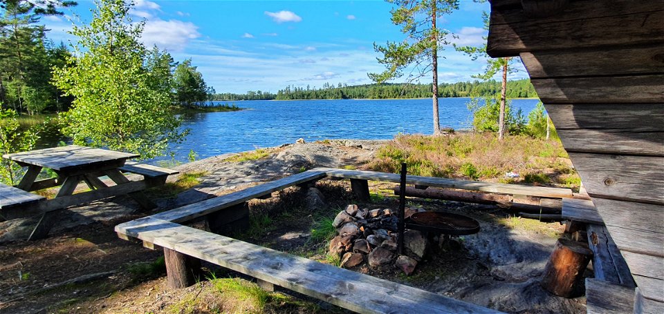
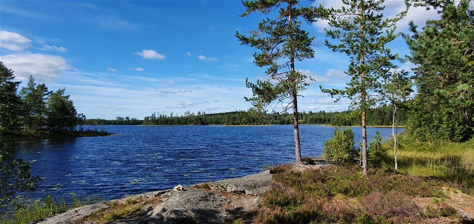
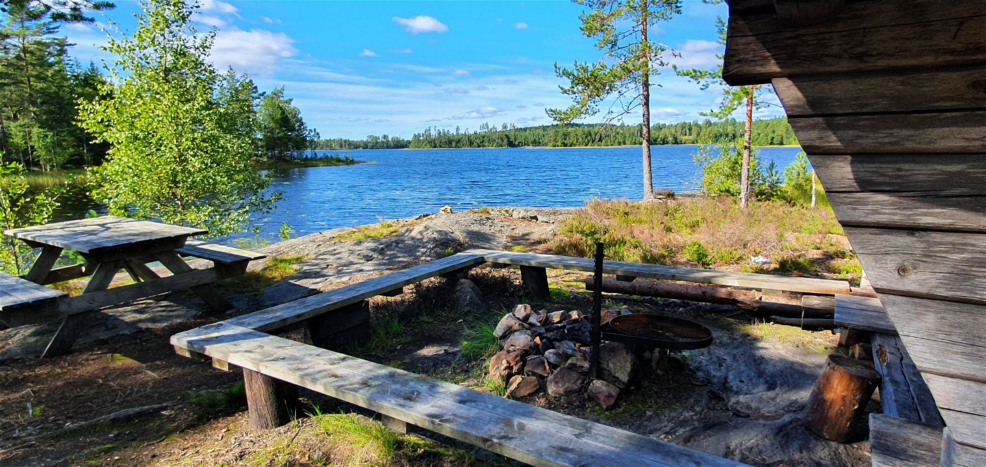
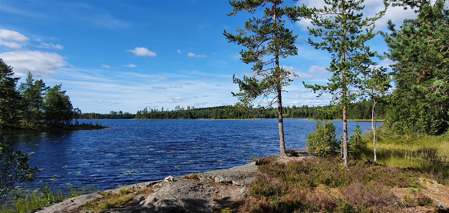
About 2 km north of Lafallhöjden, there is a beautiful place for a stop by Lake Ämten, just 300 m off the trail to the west. At the deserted croft Surängen, there is a roofed bench table. Heading north east, about half ways along the trail you reach Kyrkstenen, possibly a glacial erratic block. Around the year 1900, it was used for sermons by a local preacher.
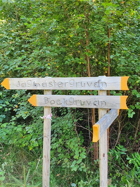
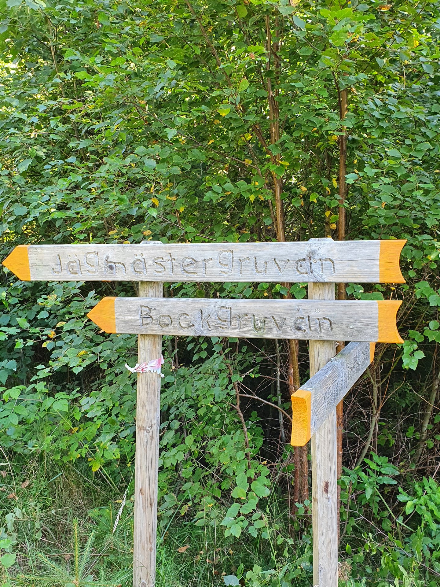
About 100 m south west of Jonstorpet there are signs pointing to the old mines Jägmästar- and Bockgruvan, situated a few hundred meters north and off the trail. Read more about them in the links below:Jägmästargruvan (appr 400 m from the trail):
Fornsök (raa.se)
Bockgruvan (appr 2,5 km from the trail): Fornsök (raa.se)
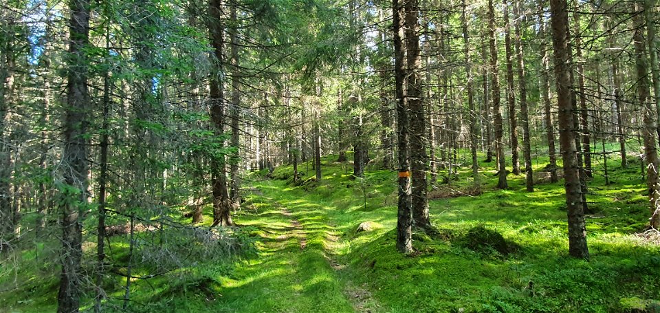
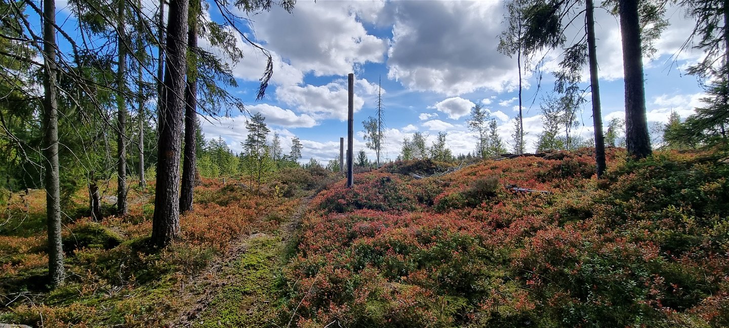
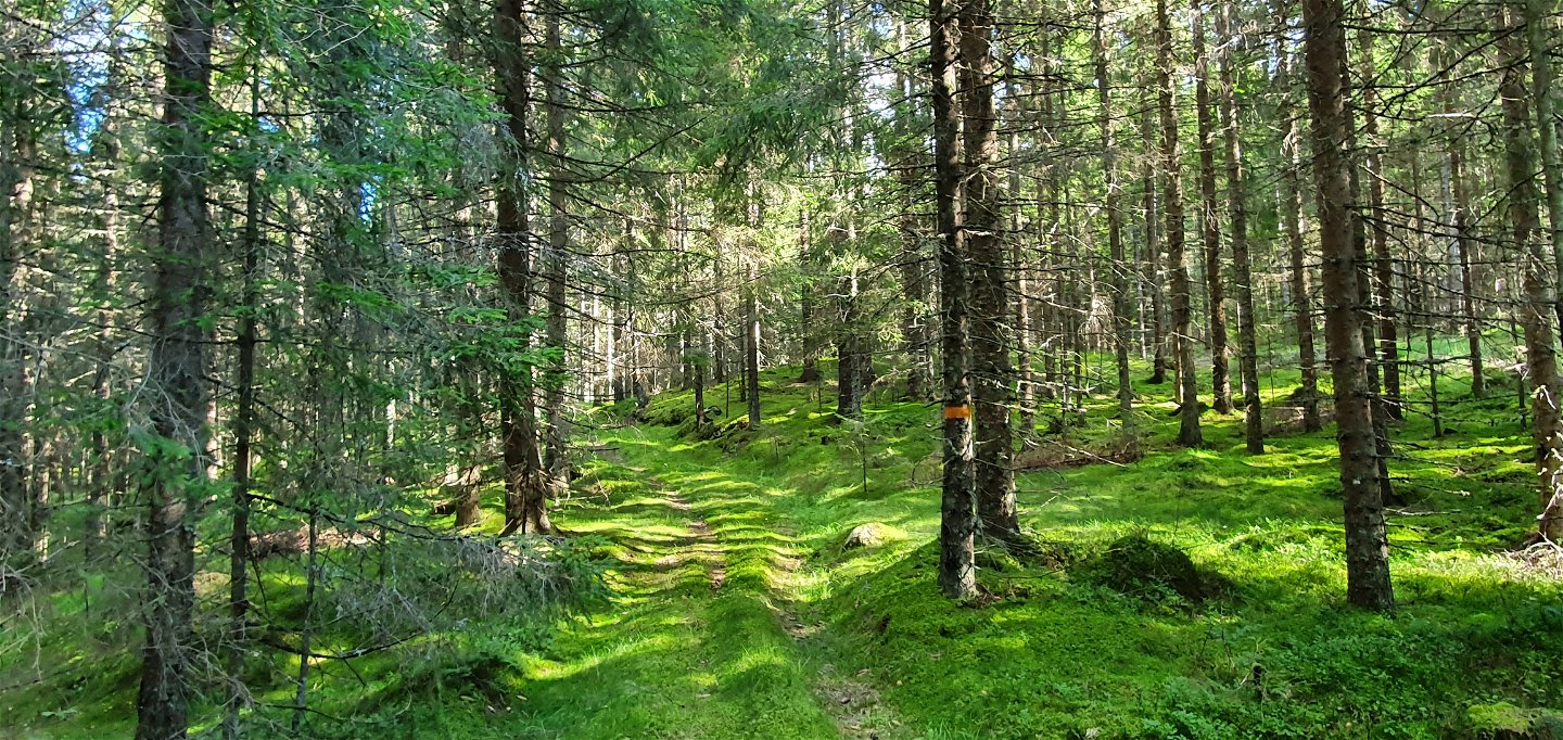
The trail continues on a stretch of gravel road and finally paths and moss clad roads through spruce forest up to Lövhöjden, with a soft altitude increase. At Lövhöjden the trail connects with Finnvägen, where you can choose to head on either south to Fredros or north to Bogen.
Kyrkstensleden also connects to Norra Gunnarskogsleden at Lafallhöjden.
Service
-In summer there is drinking water at Lafallhöjden, from a tap on the western outer wall of the main building.
-There is a dry toilet at Lafallhöjden.
-Please bring your waste home, but if you can't there is a waste bin at Lafallhöjden.
-There nearest bus stop is at the junction of Fredros, by the Old Store, see Värmlandstrafik - Värmlandstrafik for time tables.
A map and trail description is available for down load under Documents.
Comments: If you prefer to make it a circular trail, it is possible to get back to Lafallhöjden by heading south east from Lövhöjden on Finnvägen, down to Fredros (about 3 km) and follow the car road (gravel road towards Bortan) east back to Lafallhöjden (about 5 km). If you choose to take this route, please bring a map and GPS, as the stage is not indicated by signs.
Działania i udogodnienia
-
Wędrówki piesze
-
Archeologiczny
Fakty
Marked with orange color on trees or signs. Map available in a separate PDF.
Mobile coverage is normally available along the entire trail.
Powierzchnia
Mostly wide path or old track, some parts forest road or forest paths.
Wzgórza
Easy hiking.
Parking
Spacious parking at Lafallhöjden.
Komunikacja
Unfortunately, the site is not accessible by public transportation.
Wskazówki dojazdu
Proposed starting point Lafallhöjden, Fredros, Gunnarskog: longitude 12.596, latitude 59.931.
Kontakt
Adres
Besöksadress:
Visit Arvika
Arvika Turistbyrå, Storgatan 22
671 31 Arvika
www.visitarvika.se
Adres e-mail
Visit Arvika
Należy pamiętać, że niektóre z tych tekstów zostały przetłumaczone automatycznie.
Pytania i Odpowiedzi
Zadaj pytanie innym użytkownikom Naturkartan.

