

Nordvärmlandsleden
Wędrówki piesze
- Województwo: Värmlands län
- 6487.05 km od Ciebie
Szczegóły dotyczące szlaku
- Długość 52.0 km
- Trudność Czerwony - wymagający
Akcje
Opis
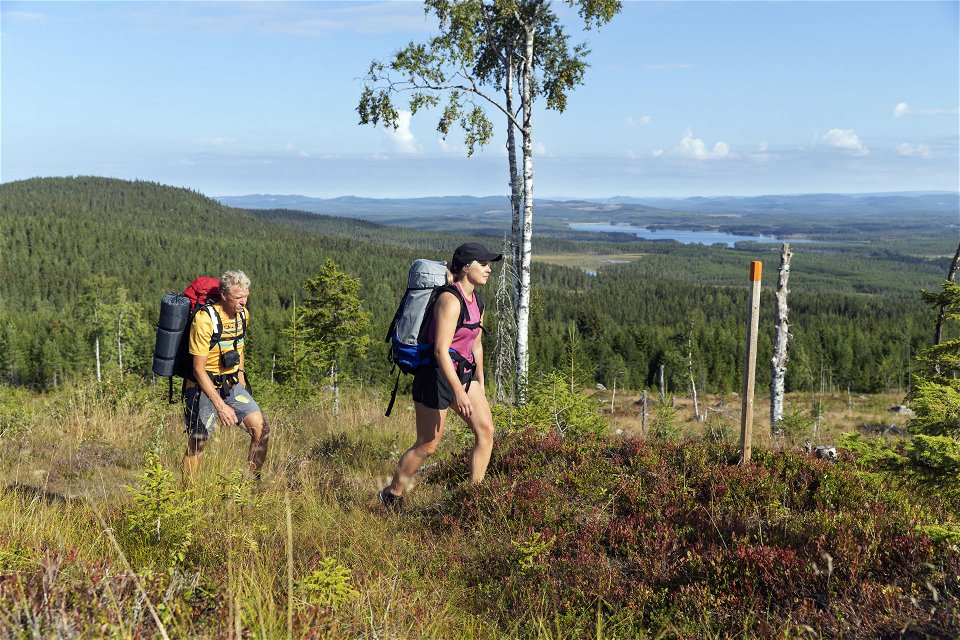
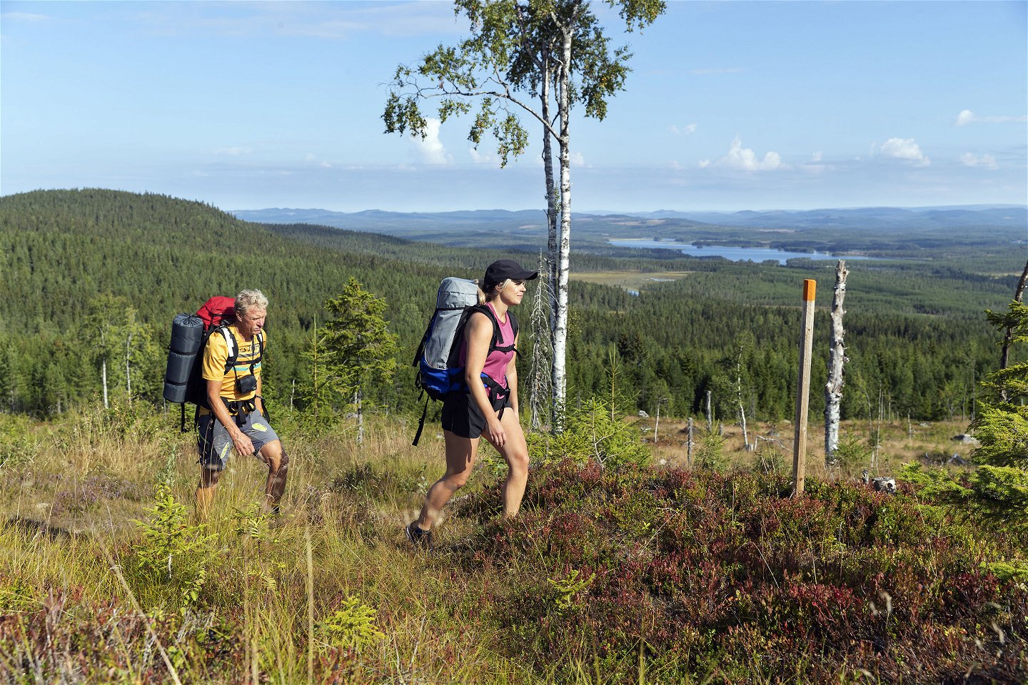
Experience magnificent views from Långberget and Värmland’s highest mountain, Granberget, 700 meters above sea level. The trail starts in Ransby and continues up towards Ransbysätern.
Along the way, you pass several mountain farm cottages, some of which are open to visitors. Wind shelters and campsites are available at several places, including a hostel for overnight stays. Near Långberget is Näcksjön, featuring a rest area for both swimming and fishing.
You can buy a map of Nordvärmlandsleden at Torsby Touristinformation and Långbergets Sporthotell.
Działania i udogodnienia
-
Wędrówki piesze
Powierzchnia
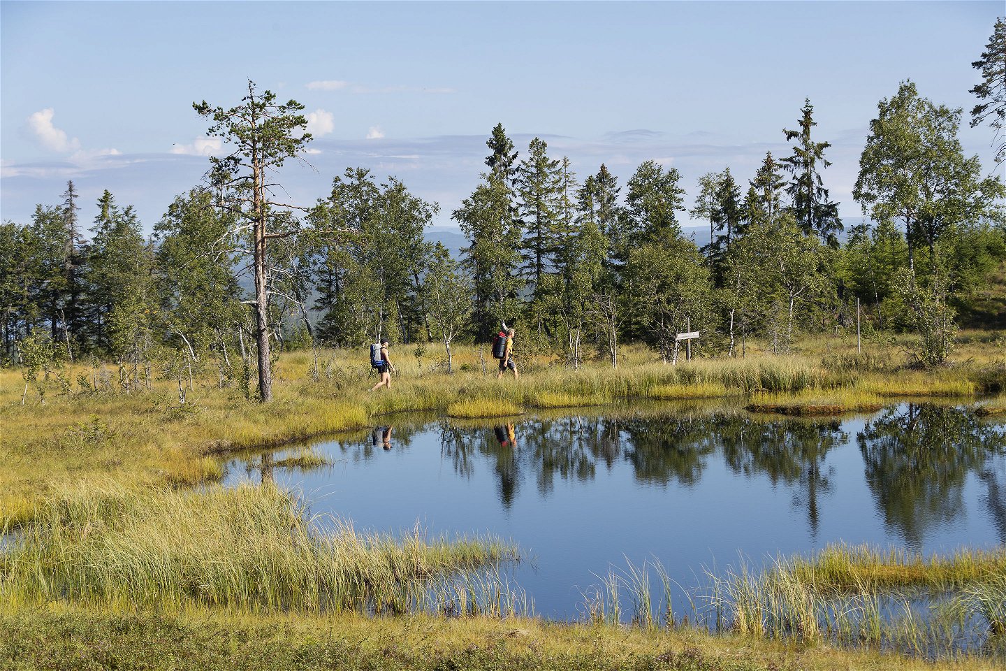
The route of the trails often runs in high terrain (350-600 m above sea level), which means that a late spring can mean snow in shady areas until mid-May, which is why you should have well-maintained boots that can withstand moisture and wetness.
Roślinność
The northern Klarälvdalen valley is characterized by a narrowing of the valley, higher forest mountains and larger forest parcels. Through the building tradition, in agriculture and forestry, one sees that the area is recognized and reminiscent of northern Scandinavian character with a northern influenced vegetation. It can be said that nature is more magnificent and gives a wilderness feeling. The growing season in the area is short but intense in the same way as in the Norrland hinterland. A number of reserve areas allow you to experience the large forest as a forest of pre-mountain character.
Pliki
Kontakt
Adres
Visit Torsby turist@torsby.se
Należy pamiętać, że niektóre z tych tekstów zostały przetłumaczone automatycznie.
Pytania i Odpowiedzi
Zadaj pytanie innym użytkownikom Naturkartan.
