

Drängsmark elljusspår
Narciarstwo
- Województwo: Västerbottens län
- 6646.6 km od Ciebie
Szczegóły dotyczące szlaku
- Długość 2.46632718 km
Akcje
Opis
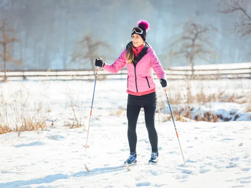
The illuminated trail in Drängsmark, maintained by Drängsmarks IF, starts at the school, centrally located along the main street through Drängsmark. It goes through relatively easy terrain and circles around Dödmanstjärnen, among other areas.
Działania i udogodnienia
-
Narciarstwo
Kontakt
Adres e-mail
Kundtjänst Skellefteå kommun
Logotyp organizacji
![]()
Należy pamiętać, że niektóre z tych tekstów zostały przetłumaczone automatycznie.
Pytania i Odpowiedzi
Zadaj pytanie innym użytkownikom Naturkartan.
