Munktorp - Köping, Romboleden Anslutningsled Etapp 1:1
Pilgrim Trail
- Województwo: Västmanlands län
- 6725.12 km od Ciebie
Szczegóły dotyczące szlaku
- Długość 15.0 km
- Czas 5 godz
- Trudność Zielony - prosty
Akcje
Opis
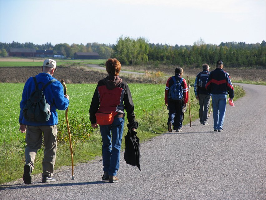
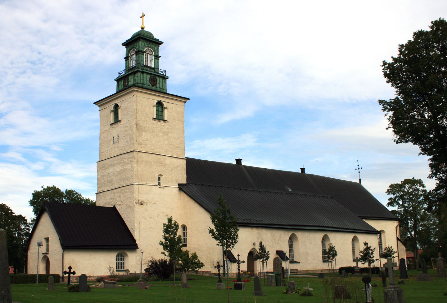
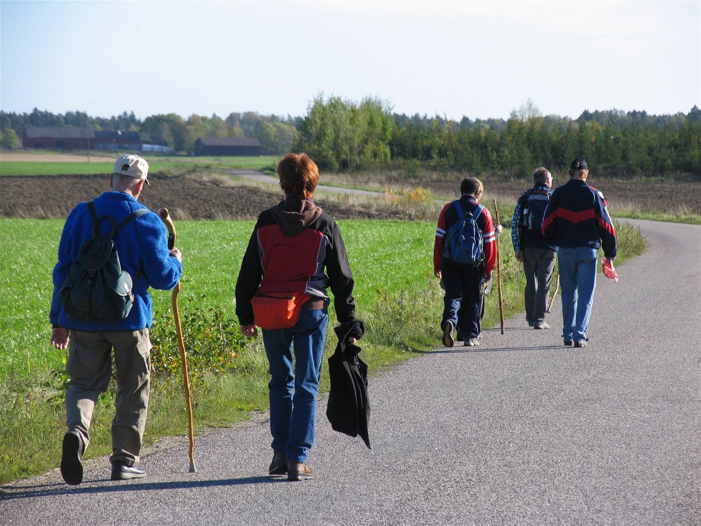
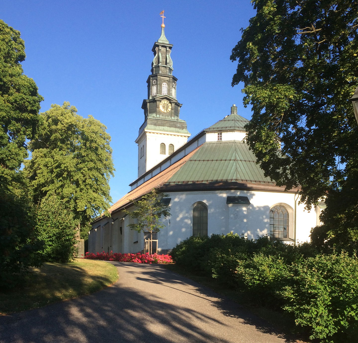
On this stage you will walk along small roads through the countryside. It is easy walking, or you could cycle. Beside the trail you will see productive farmland, farmhouses and manors. According to tradition the English Abbott David, “Västmanlands Apostel”, used Munktorp as his base for his 11th century mission to Västmanland. The name of the village reflects this. He is supposed to have built the first church in the region – David’s Church, which is now part of Munktorp’s Church. Beside the church is David’s Spring where the region’s first baptisms supposedly took place.
This stage connects to Romboleden that starts in Köping.
Walk in the footsteps of the pilgrims
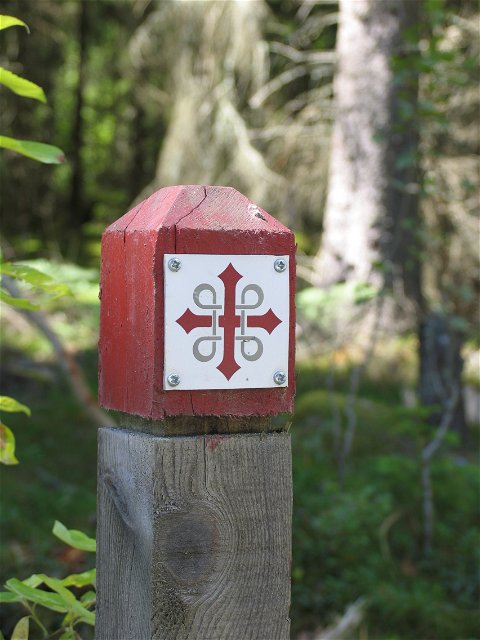
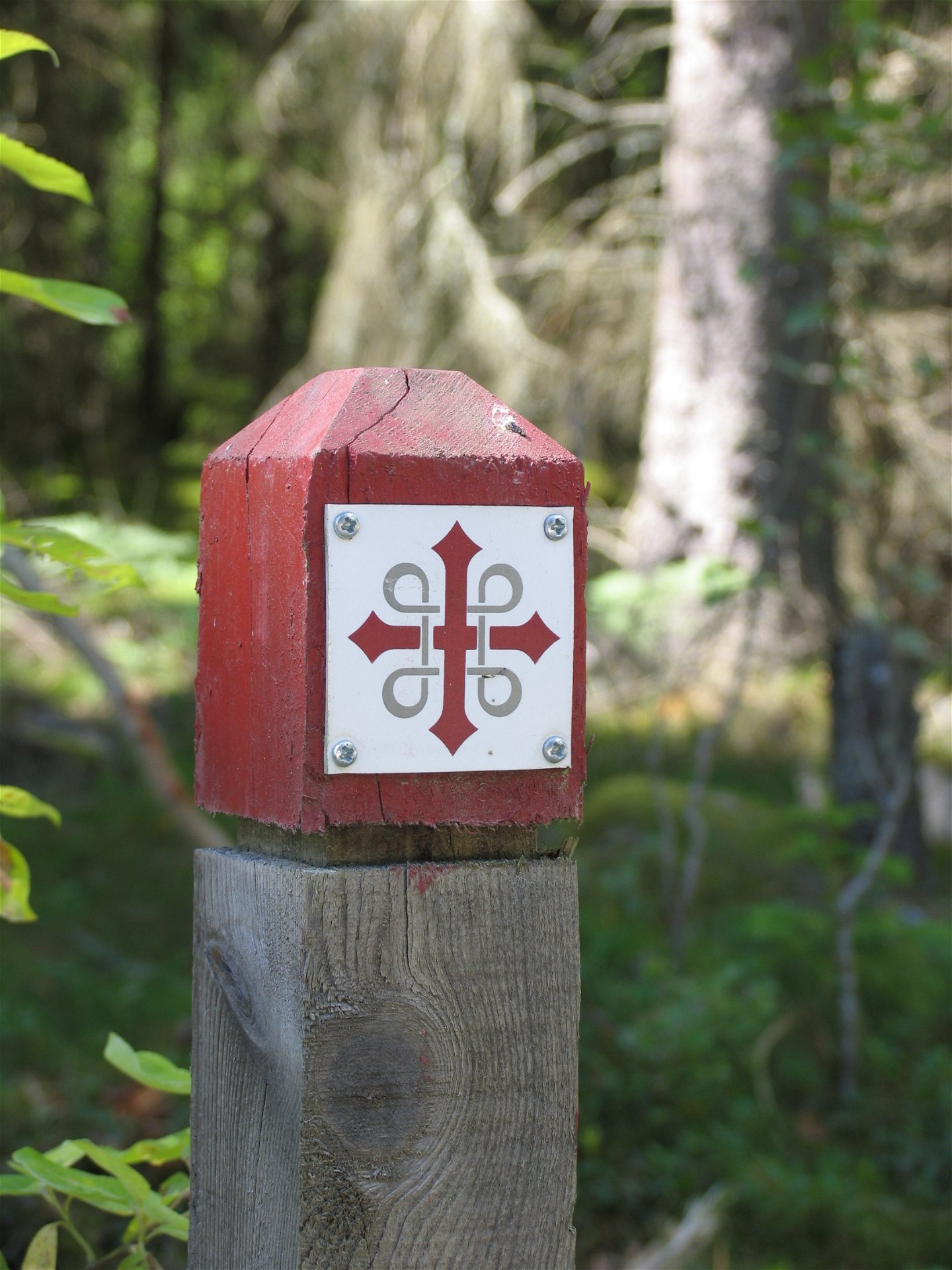
Romboleden (Rombo Way) is a pilgrimage route that people began using in the 11th century. The Romboleden is Sweden’s longest pilgrimage route at 900 kilometres long. It starts in Köping in Västmanland and finishes in Trondheim on the Norwegian Atlantic coast. If you walk the entire trail, you will experience a beautiful and varied landscape. You will walk on old chalet paths, over mountains with magnificent vistas and along narrow country gravel roads. You will find easy one-day walks with cafés along the way, and long treks that take several days. The route often passes through small villages.
Would you like to walk with a Pilgrim’s Passport and collect stamps from each stage? The medieval Pilgrim’s Passport allowed a pilgrim to walk in the whole of Europe without being stopped by rules or boundaries. These days it is just a nice memento. The Pilgrim’s Passport can be collected at several stage starting points and from the web page of Rombo Way.
Działania i udogodnienia
-
Wędrówki piesze
-
Pilgrim Trail
Fakty
Toilets and drinking water are available at the churches.
Powierzchnia
Mostly asphalt and gravel road.
Possible to walk with a stroller or cycle along the route.
Parking
Parking spaces are available at the churches.
Komunikacja
Länstrafiken bus 515 serves Köping - Munktorp skola as the nearest stop. Länstrafiken bus 550 A serves Köping - Kolsva and on to Skinnskatteberg, several stops along road 250.
Public transport Västmanlands lokaltrafik.
Wskazówki dojazdu
The nearest bus station for the start of the stage is Munktorps skola, 7 minutes' walk to the church.
The nearest bus station for the end of the stage is Torggatan in Köping, 5 minutes' walk from the church.
Regulamin
As a hiker, you are responsible for finding out about any local regulations, paying attention to traffic and showing consideration for others who share the trail with you.
Whenever you visit Swedish nature you have a Right to public access. Read more about it here.
As a hiker you are sometimes walking in protected nature with specific rules and regulations. You are responsible for making sure you are following the rules. You can read more about it at the Swedish Environmental Protection Agency and the County Administrative Board.
Remember to only start camp fires in established barbecue areas and ensure that there is no fire ban in your area.
Remember that you are hiking on someone else's land and that rational agriculture or forestry may occur along the trail.
Pliki
Należy pamiętać, że niektóre z tych tekstów zostały przetłumaczone automatycznie.
Pytania i Odpowiedzi
Zadaj pytanie innym użytkownikom Naturkartan.


