
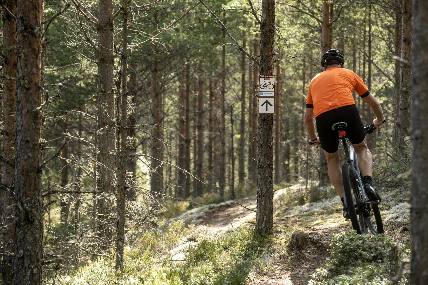

Örebäcksleden, 11 km, Kläppen
Mountainbike
- Landkreis: Dalarnas län
- 6515.55 km von Ihnen entfernt
Details zum Weg
- Länge 11.0 km
- Schwierigkeit Rot - anspruchsvoll
Aktionen
Beschreibung
The trail begins at Kläppens camping and takes you by the first part of Gusjöslingan over the main road 66, and climbs up towards Vasaloppsvägen. After around 3 km the trail comes to a shelter where it proceeds south. From here, follow the trail markings along the gravel road back to the ski area. After a short distance into the ski area the trail joins an old downhill biking track and follows it to Kläppen cam- ping via Tranantorget.
Aktivitäten und Einrichtungen
-
 Radfahren
-
Mountainbike
Downloads
Bitte beachten Sie, dass einige dieser Texte automatisch übersetzt worden sind.
Fragen & Antworten
Stellen Sie eine Frage an andere Naturkartan-Nutzer.
Bewertungen
Das könnte Sie auch interessieren
