

Örebäcksleden, 11 km, Kläppen
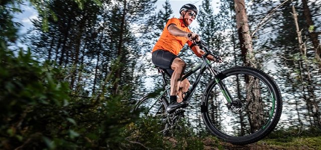
Mountainbike
- Województwo: Dalarnas län
- 6881.29 km od Ciebie
Szczegóły dotyczące szlaku
- Długość 11.0 km
- Trudność Czerwony - wymagający
Akcje
Opis
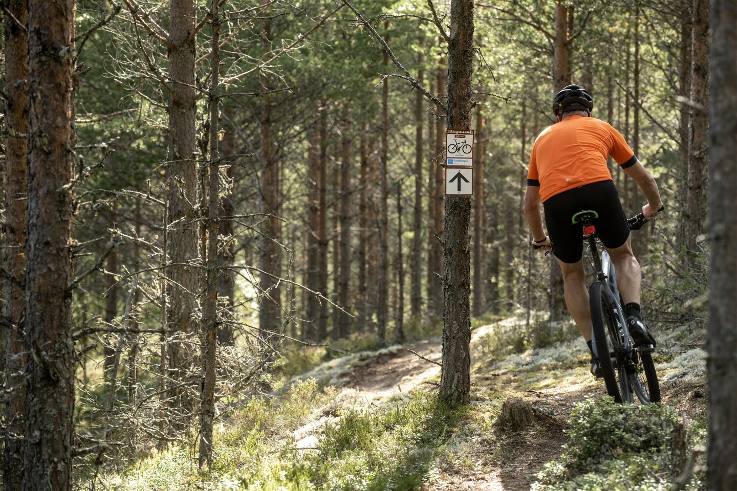
The trail begins at Kläppens camping and takes you
by the first part of Gusjöslingan over the main road
66, and climbs up towards Vasaloppsvägen. After
around 3 km the trail comes to a shelter where it
proceeds south. From here, follow the trail markings
along the gravel road back to the ski area. After a
short distance into the ski area the trail joins an old
downhill biking track and follows it to Kläppen cam-
ping via Tranantorget.
Działania i udogodnienia
-
 Jazda na rowerze
-
Mountainbike
Pliki
Należy pamiętać, że niektóre z tych tekstów zostały przetłumaczone automatycznie.
Pytania i Odpowiedzi
Zadaj pytanie innym użytkownikom Naturkartan.

