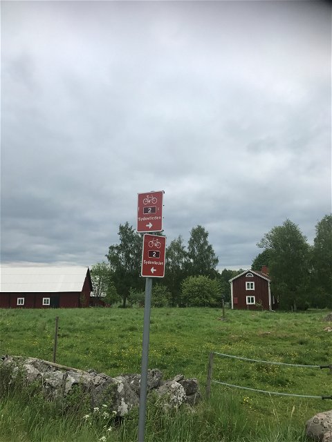
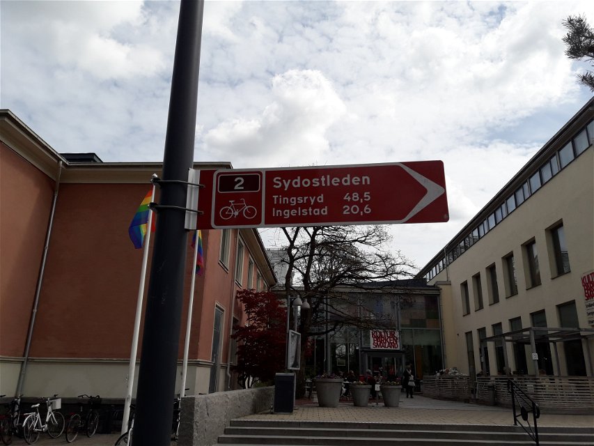
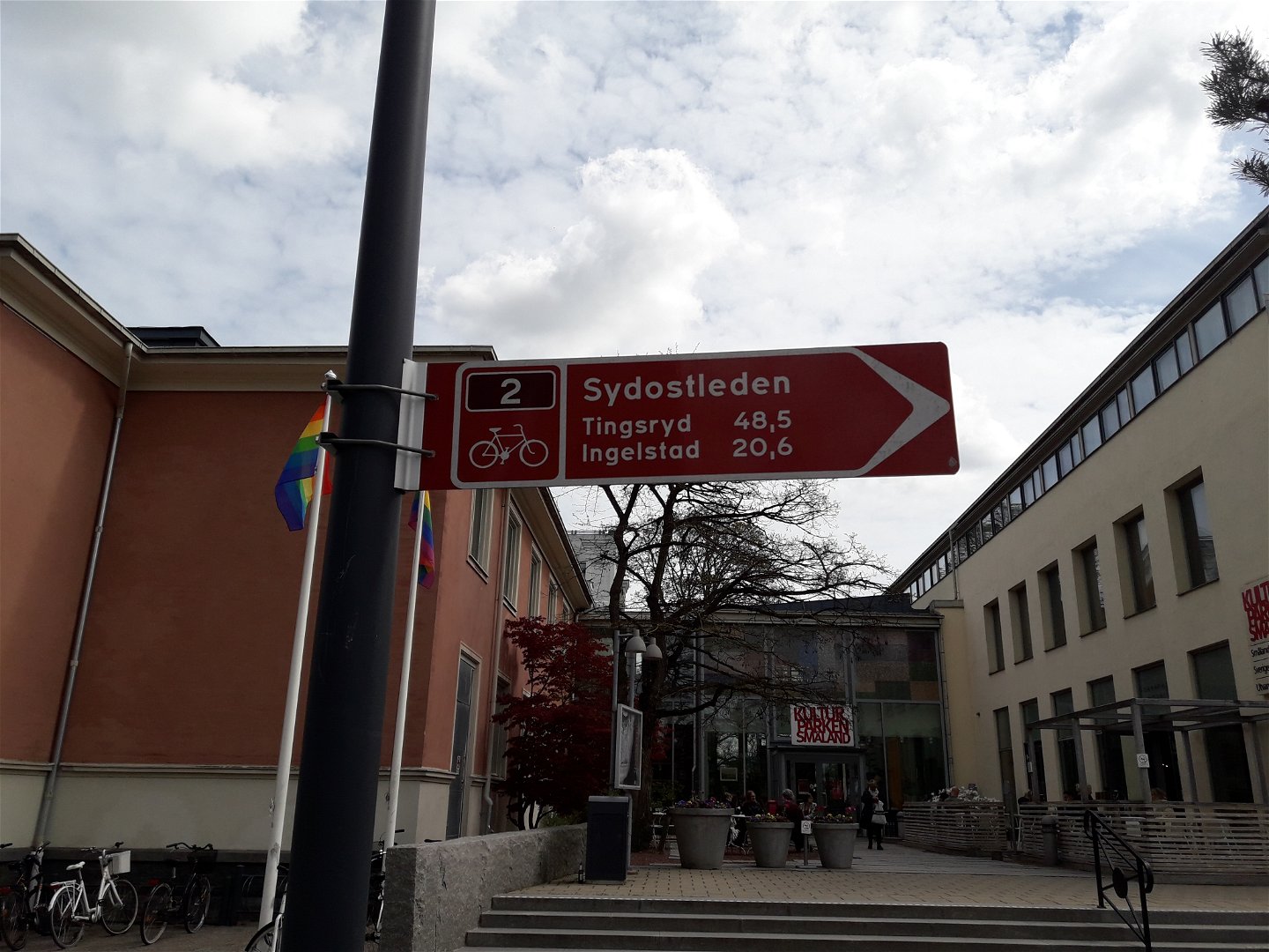
Sydostleden Etapp 1: Växjö - Tingsryd
Radfahren
- Landkreis: Kronobergs län
- 6810.54 km von Ihnen entfernt
Details zum Weg
- Länge 48.6 km
- Schwierigkeit Blau - mittel
Aktionen
Beschreibung
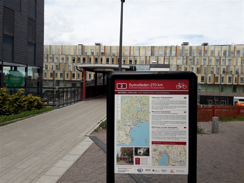
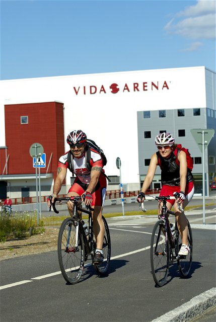
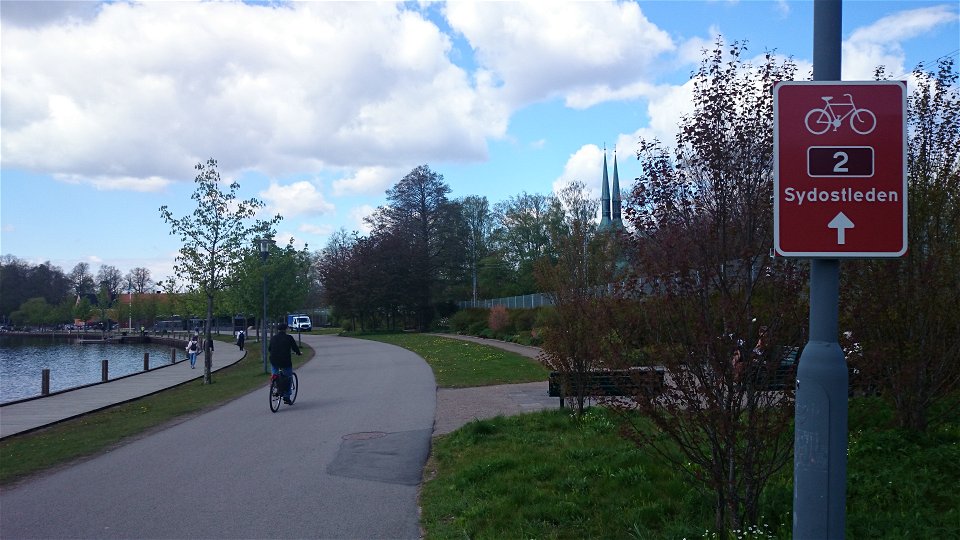
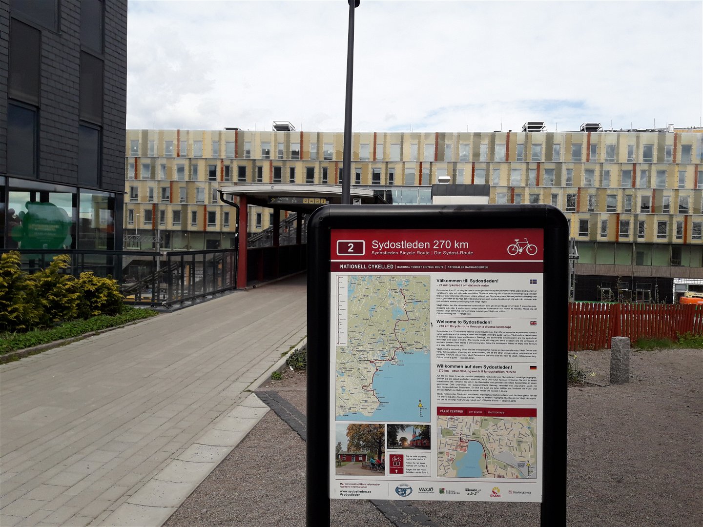
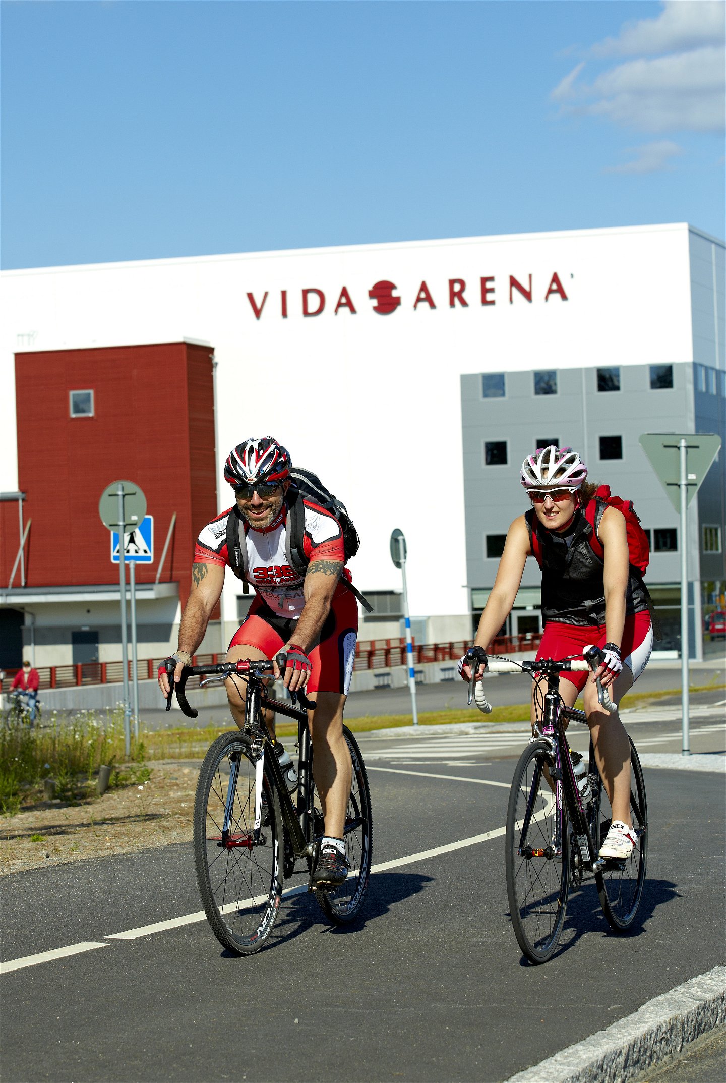
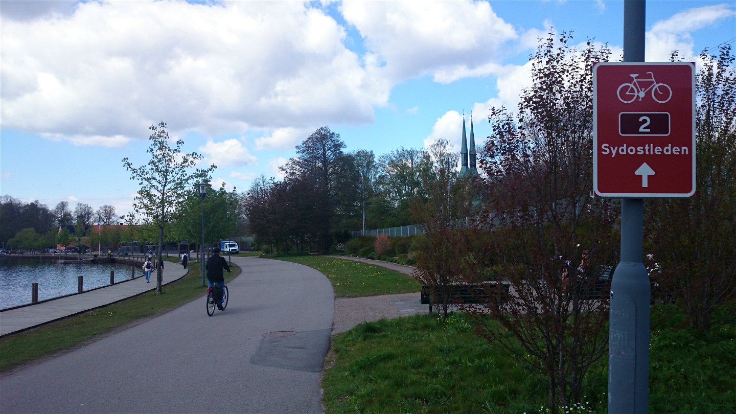
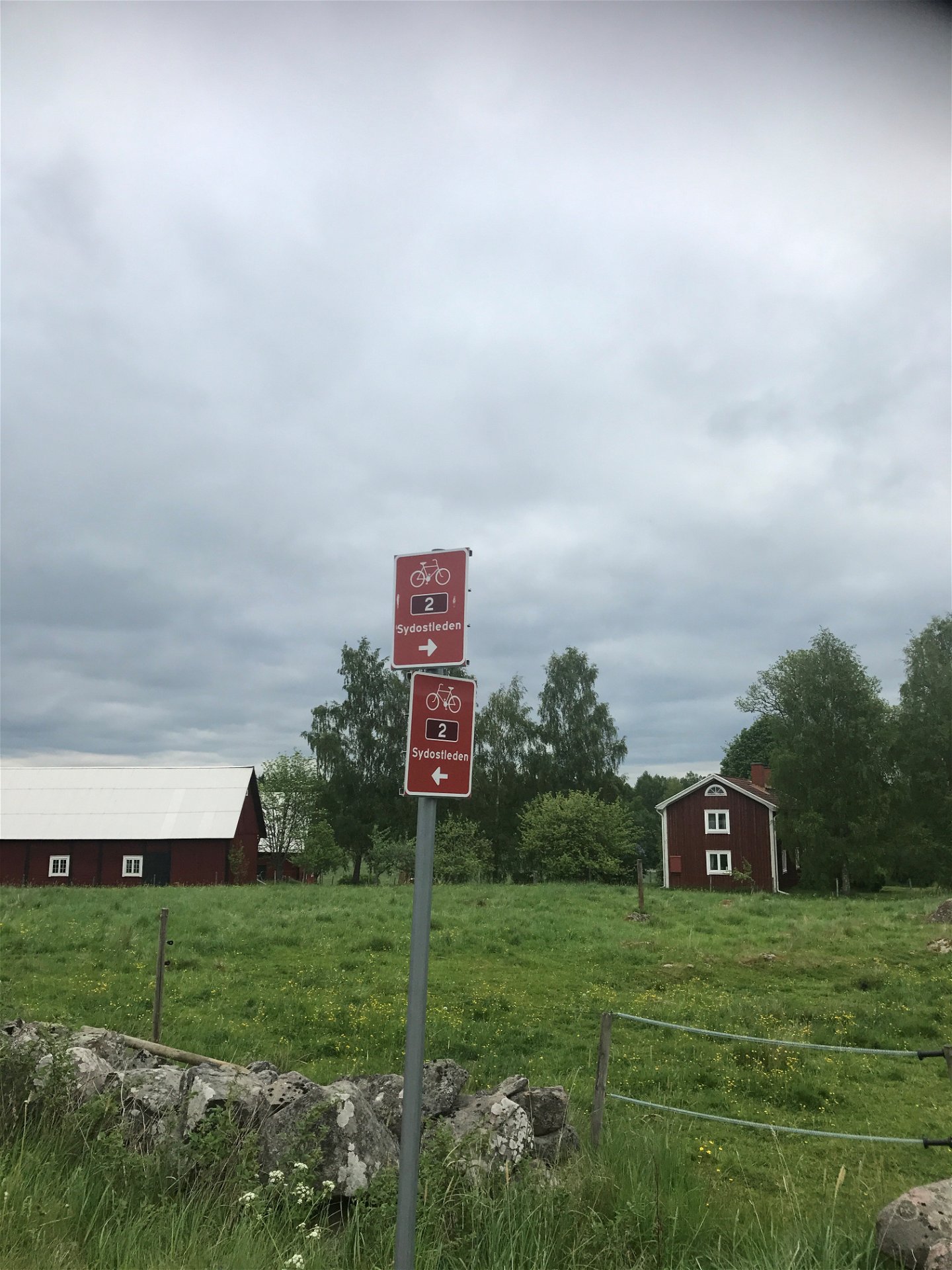
Bike the Sydostleden bicycle route, which is 80% paved with asphalt, and is practically free of cars. The whole route stretches from Växjö to Simrishamn and has a total length of 274 km. The Sydostleden route is divided into seven sections, of which Section 1, from Växjö to Tingsryd, is 48.6 kilometres long and has a cumulative elevation gain of 271 metres. To read more about the Sydostleden route, its sections, range of experiences, accommodations and much more, click on the link below.
Aktivitäten und Einrichtungen
-
Radfahren
Zugänglichkeit
-
Nähe von Nahverkehr
Oberfläche
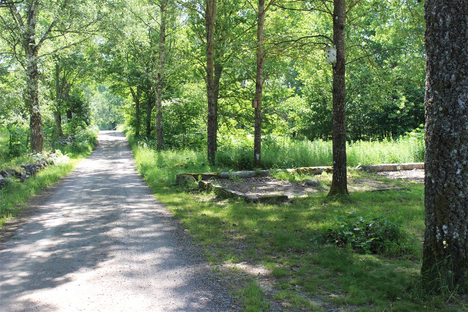
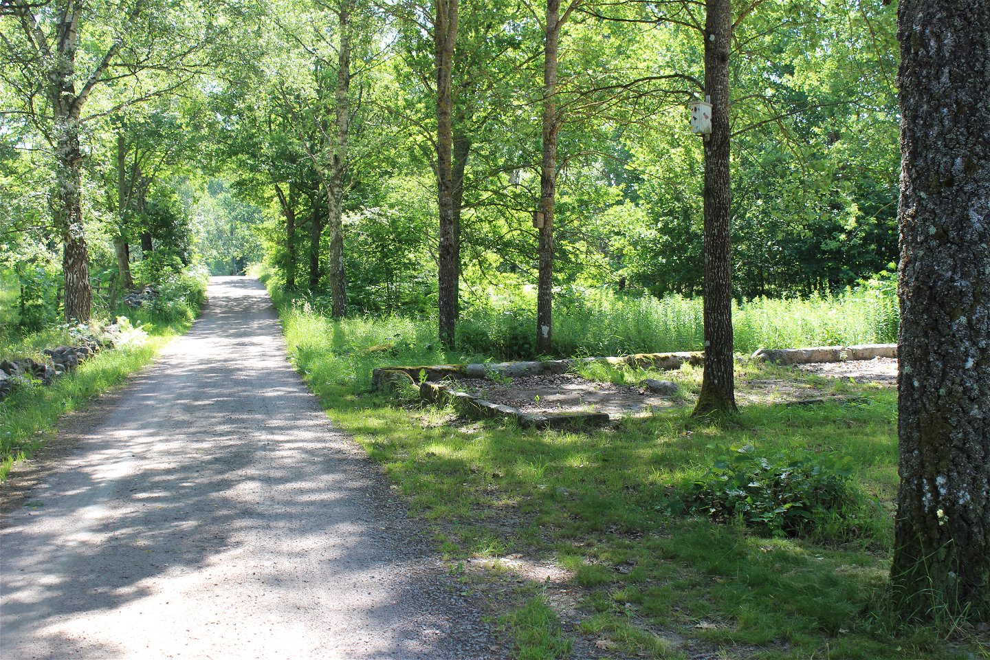
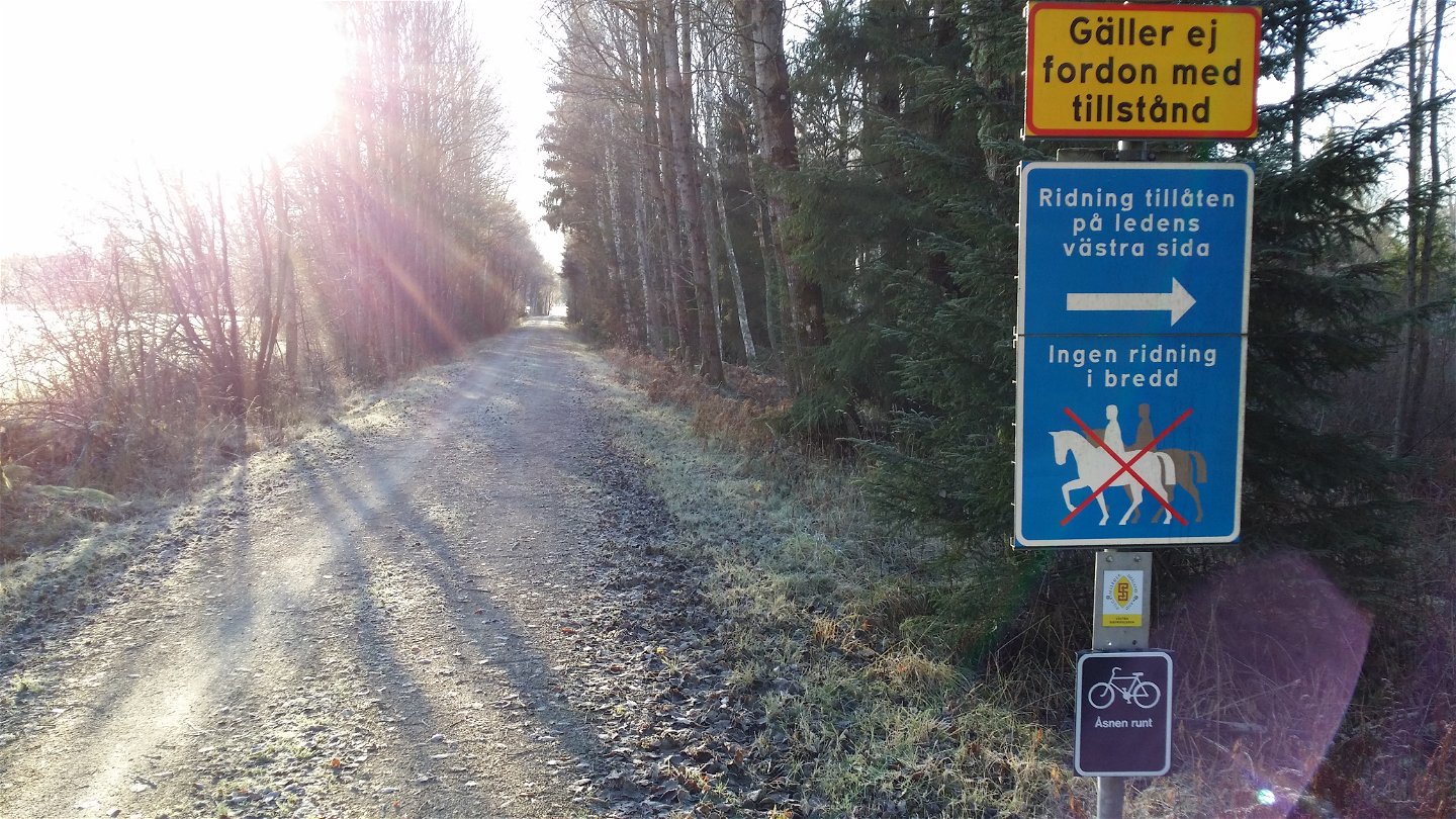
Both asphalt and gravel roads, mostly car-free on the cycle path.
Hügel
Relatively flat with few hills on the section.
Anleitung
Södra bantorget next to Växjö station is the starting point for Sydostleden in central Växjö. From here, the bike trail winds its way on asphalt and gravel-covered narrow track without car traffic south towards Tingsryd. Of course, you can start the bike ride wherever you like.
Kontakt
Adresse
Telefon 0470-410 00
E-Mail-Adresse
Kontaktcenter
Logotyp der Organisation

Bitte beachten Sie, dass einige dieser Texte automatisch übersetzt worden sind.
Fragen & Antworten
Stellen Sie eine Frage an andere Naturkartan-Nutzer.

