-
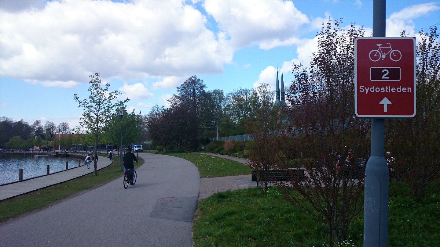
Startplats Växjö resecentrum -

-

-
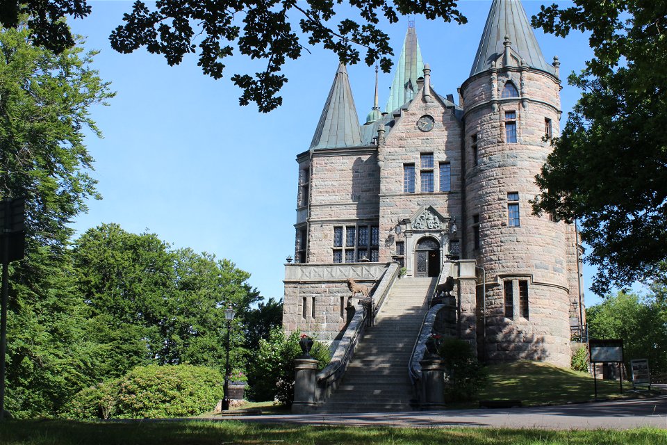
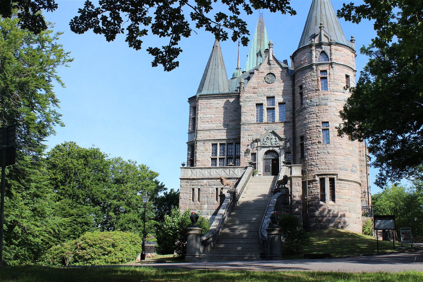
Teleborgs slott -
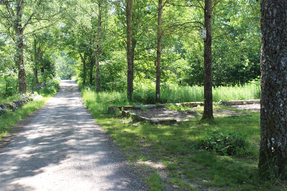
Teleborgs naturreservat -
Skir -
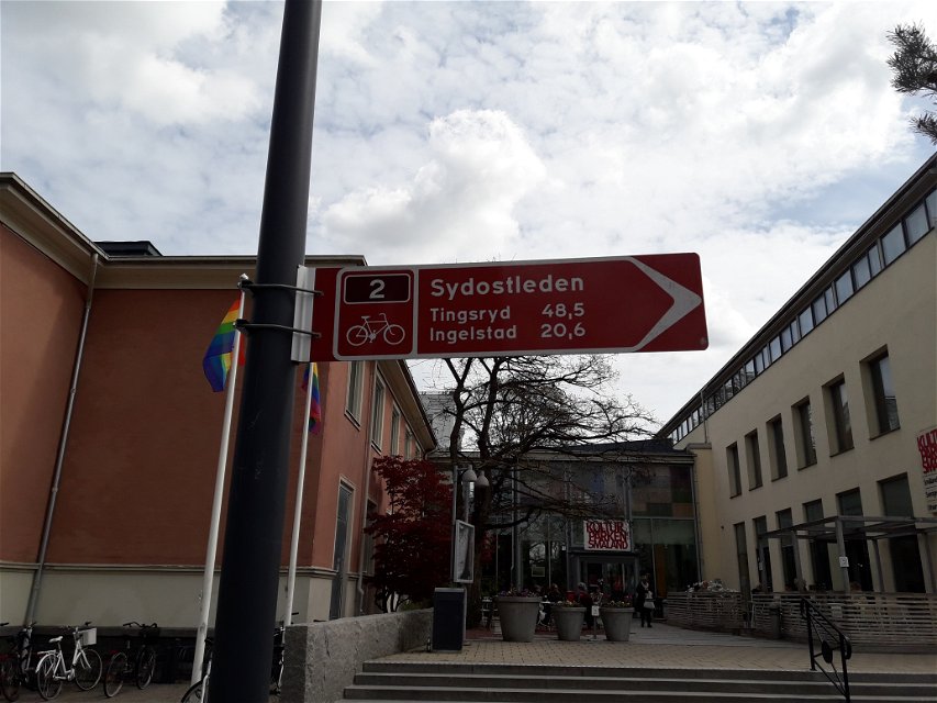
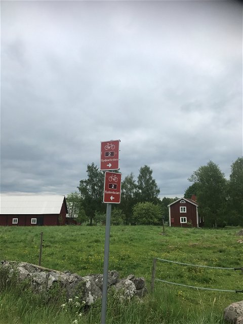
Bra vägvisning -
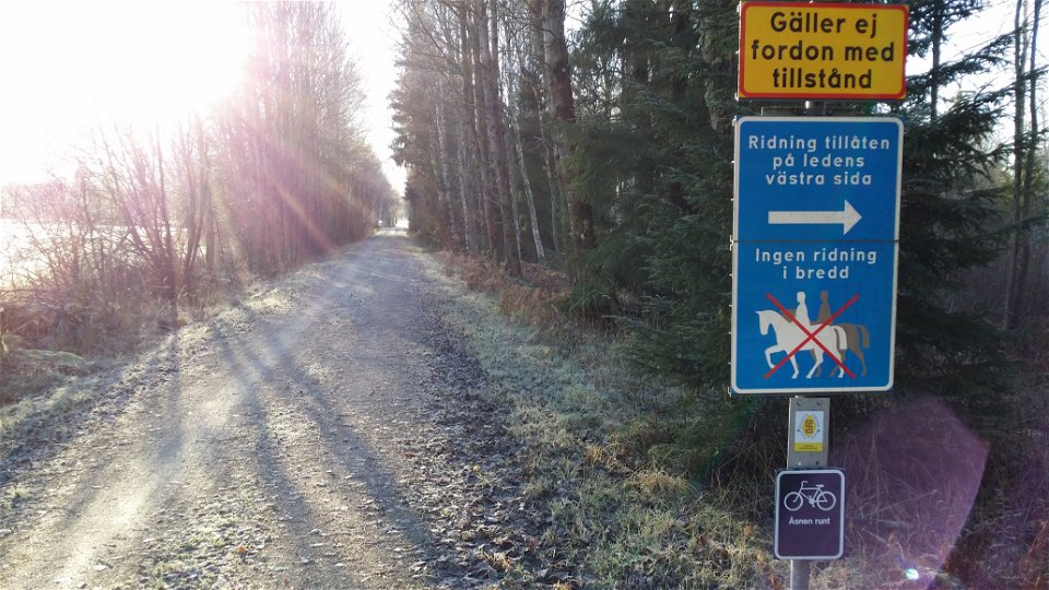
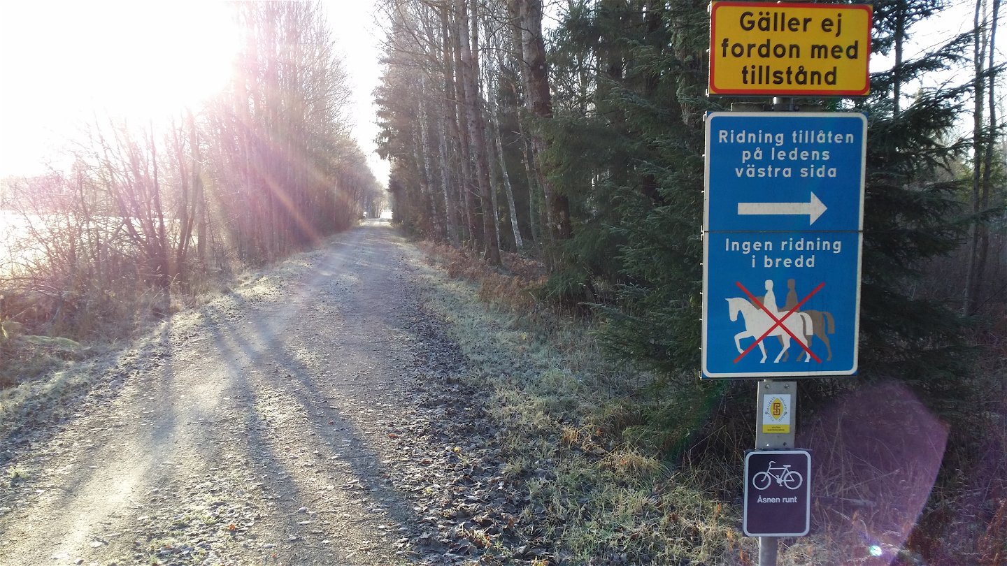
Ridning på ledens västra sida


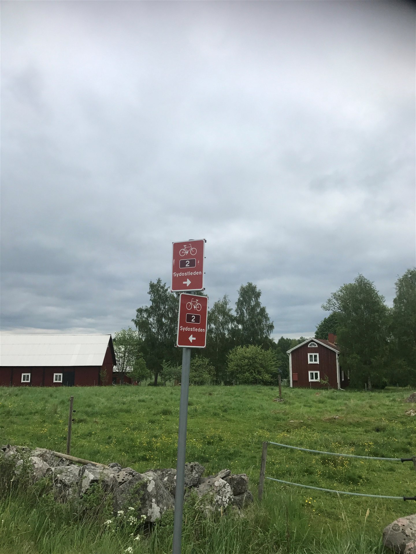
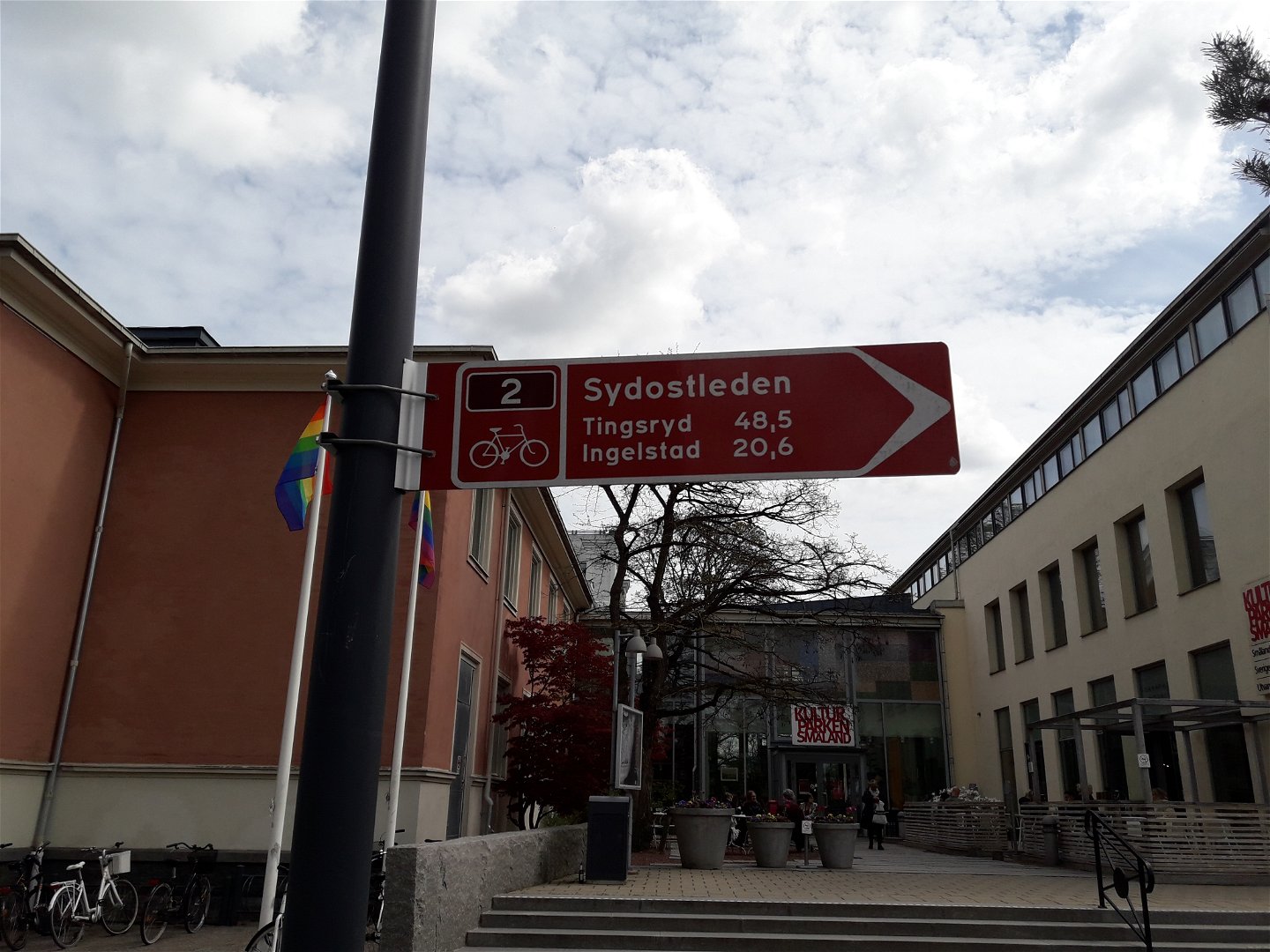

Sydostleden Etapp 1: Växjö - Tingsryd
Jazda na rowerze
- Województwo: Kronobergs län
- 6427.5 km od Ciebie
Szczegóły dotyczące szlaku
- Długość 48.6 km
- Trudność Niebieski - średni
Akcje
Opis
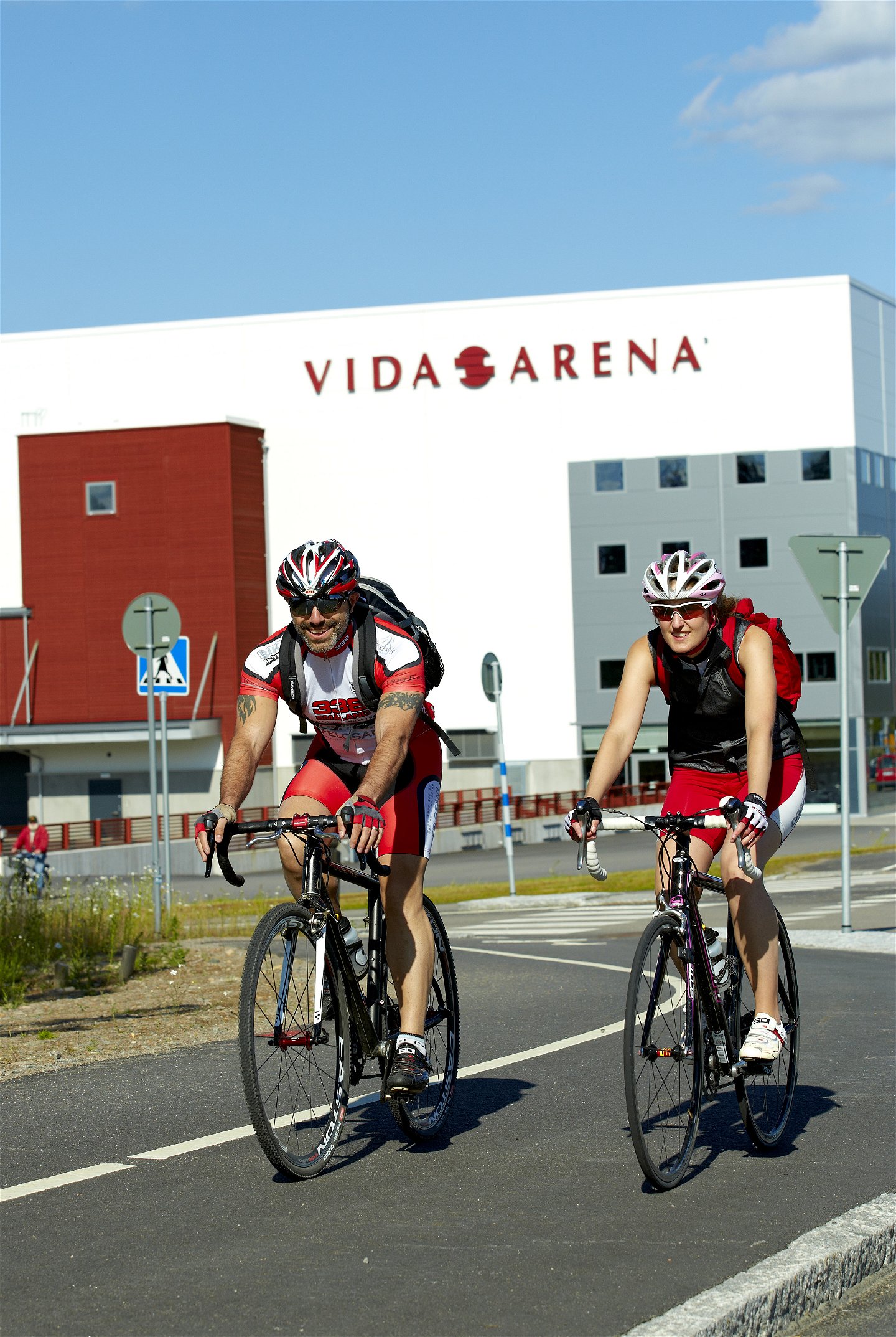
Bike the Sydostleden bicycle route, which is 80% paved with asphalt, and is practically free of cars. The whole route stretches from Växjö to Simrishamn and has a total length of 274 km. The Sydostleden route is divided into seven sections, of which Section 1, from Växjö to Tingsryd, is 48.6 kilometres long and has a cumulative elevation gain of 271 metres. To read more about the Sydostleden route, its sections, range of experiences, accommodations and much more, click on the link below.
Działania i udogodnienia
-
Jazda na rowerze
Dostępność
-
 Blisko transportu publicznego
Powierzchnia
Both asphalt and gravel roads, mostly car-free on the cycle path.
Wzgórza
Relatively flat with few hills on the section.
Wskazówki dojazdu
Södra bantorget next to Växjö station is the starting point for Sydostleden in central Växjö. From here, the bike trail winds its way on asphalt and gravel-covered narrow track without car traffic south towards Tingsryd. Of course, you can start the bike ride wherever you like.
Kontakt
Adres
Telefon 0470-410 00
Adres e-mail
Kontaktcenter
Logotyp organizacji
![]()
Należy pamiętać, że niektóre z tych tekstów zostały przetłumaczone automatycznie.
Pytania i Odpowiedzi
Zadaj pytanie innym użytkownikom Naturkartan.
